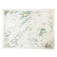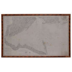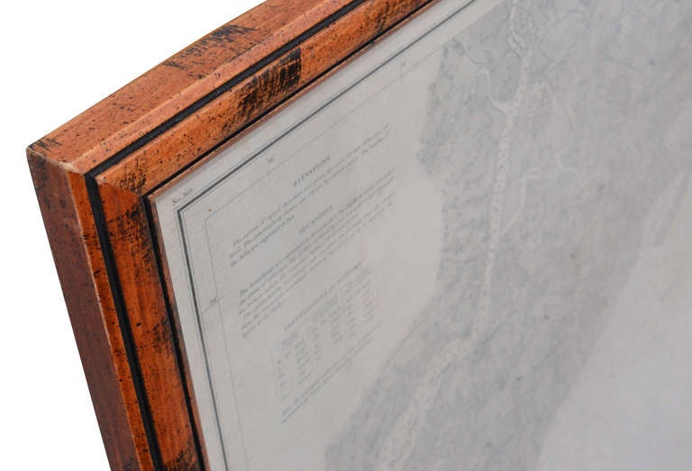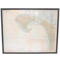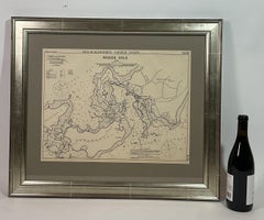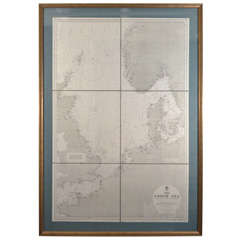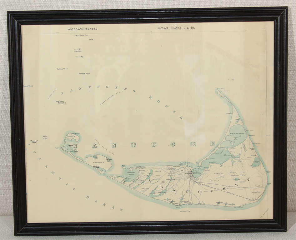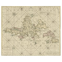
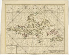
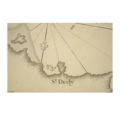
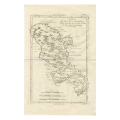
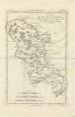
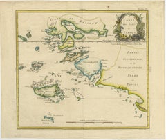
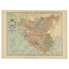
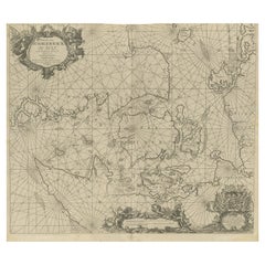
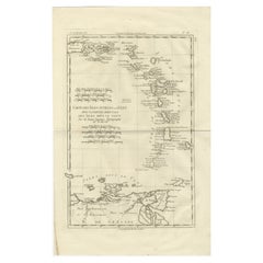
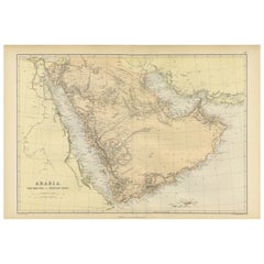
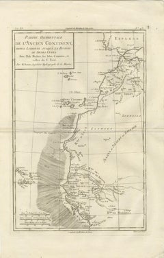
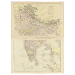
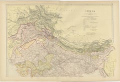
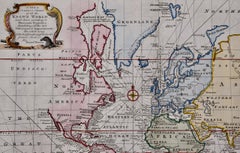
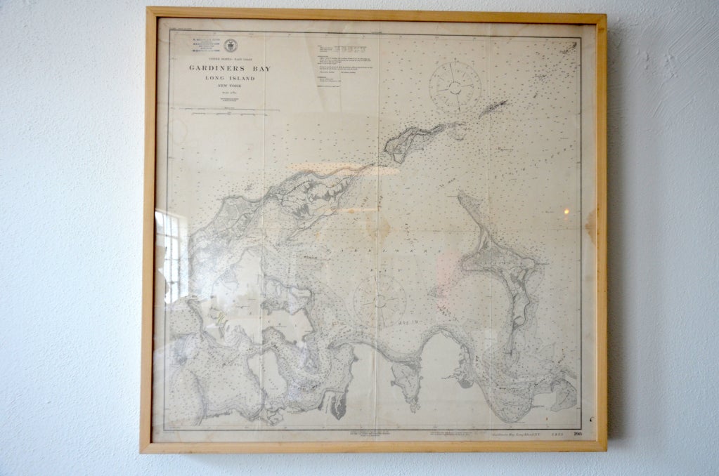
Shetland Islands Sea Chart – Antique Nautical Map by Ottens Brother c.1745
$1,468
H 20.48 in W 25.2 in D 0 in
Shetland Islands Sea Chart – Antique Nautical Map by Ottens Brother c.1745
Located in Langweer, NL
Shetland Islands Sea Chart – Antique Nautical Map by Ottens Brothers, c.1740s This striking
Category
Antique 1740s Dutch Maps
Materials
Paper


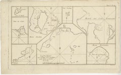


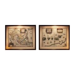


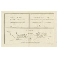


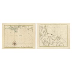
![Carte de la Rade et des Iles d'Hyeres [...].](https://a.1stdibscdn.com/archivesE/upload/a_5923/1509453017426/IMG_0049_2_master.jpg?width=240)
![Carte de la Rade et des Iles d'Hyeres [...].](https://a.1stdibscdn.com/archivesE/upload/a_5923/a_22615931509453026342/IMG_0050_a_master.jpg?width=240)
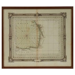
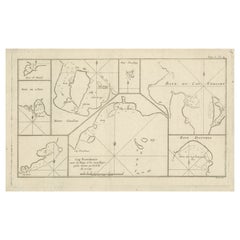
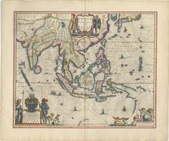
![No. 28. Carte reduite du Golfe de Gascoigne [...].](https://a.1stdibscdn.com/archivesE/upload/a_5923/1509453330717/IMG_0051_2_master.jpg?width=240)
![No. 28. Carte reduite du Golfe de Gascoigne [...].](https://a.1stdibscdn.com/archivesE/upload/a_5923/a_22616131509453342160/IMG_0052_a_master.jpg?width=240)
![Carte reduite des Mers du Nord [...].](https://a.1stdibscdn.com/archivesE/upload/a_5923/1508839571071/cb3800_master.jpg?width=240)
![Carte reduite des costes d'Espagne et de Portugal [...].](https://a.1stdibscdn.com/archivesE/upload/a_5923/1508838060305/cb3804_master.jpg?width=240)
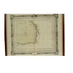
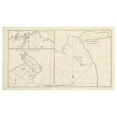
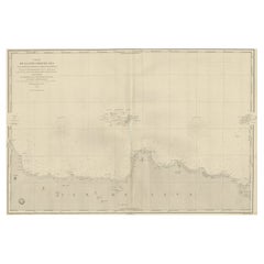
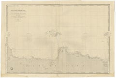
![Carte reduite de Partie de la Mer du Nord comprise entre l'Ecosse, [...].](https://a.1stdibscdn.com/archivesE/upload/a_5923/1509452708990/IMG_0047_2_master.jpg?width=240)
![Carte reduite de Partie de la Mer du Nord comprise entre l'Ecosse, [...].](https://a.1stdibscdn.com/archivesE/upload/a_5923/a_22615731509452717459/IMG_0048_a_master.jpg?width=240)
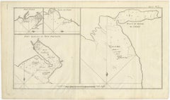
![No.27. Carte reduite des Passage de l'Iroise du Four et du Raz [...].](https://a.1stdibscdn.com/archivesE/upload/a_5923/1508763082730/IMG_0045_2_master.jpg?width=240)
![Carte reduite du Golphe de St. Laurent [...].](https://a.1stdibscdn.com/archivesE/upload/a_5923/1508840070256/cb3803_master.jpg?width=240)


![Carte generale des costes de l'Europe sur l'ocean [...].](https://a.1stdibscdn.com/archivesE/upload/a_5923/1508837429054/cb3798_master.jpg?width=240)