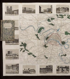
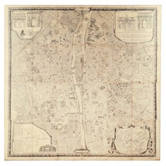
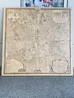
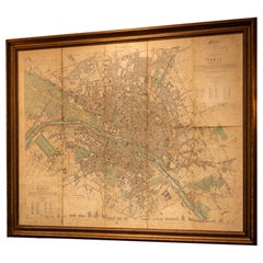
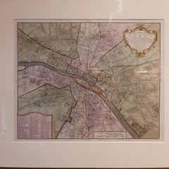
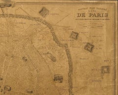
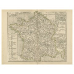
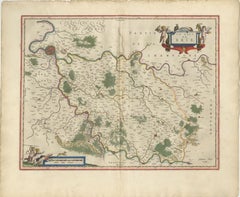
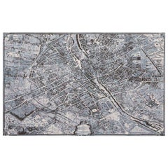
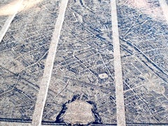
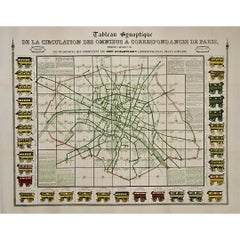
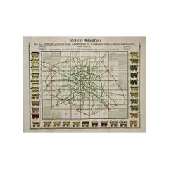
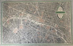
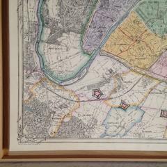
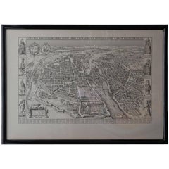
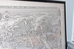
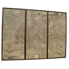
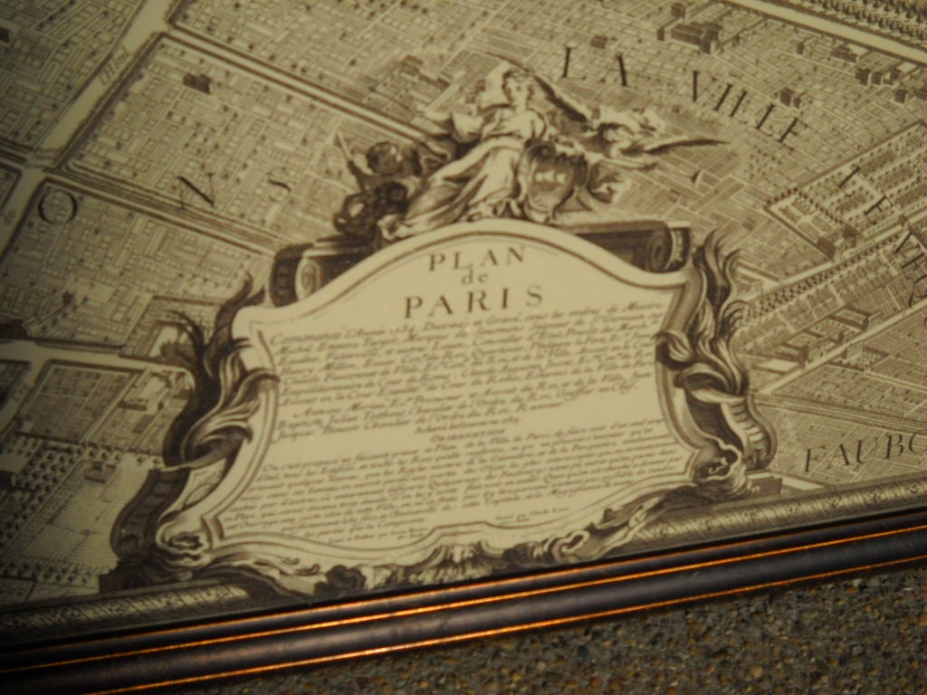
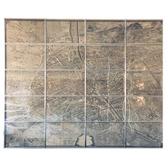
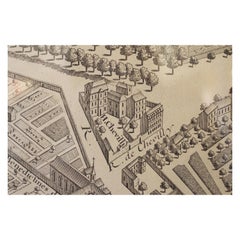
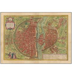
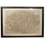
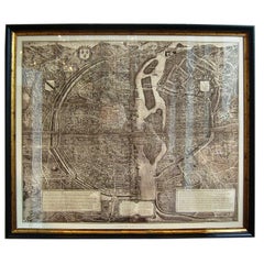
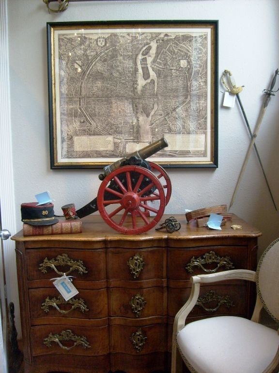
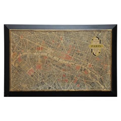
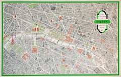
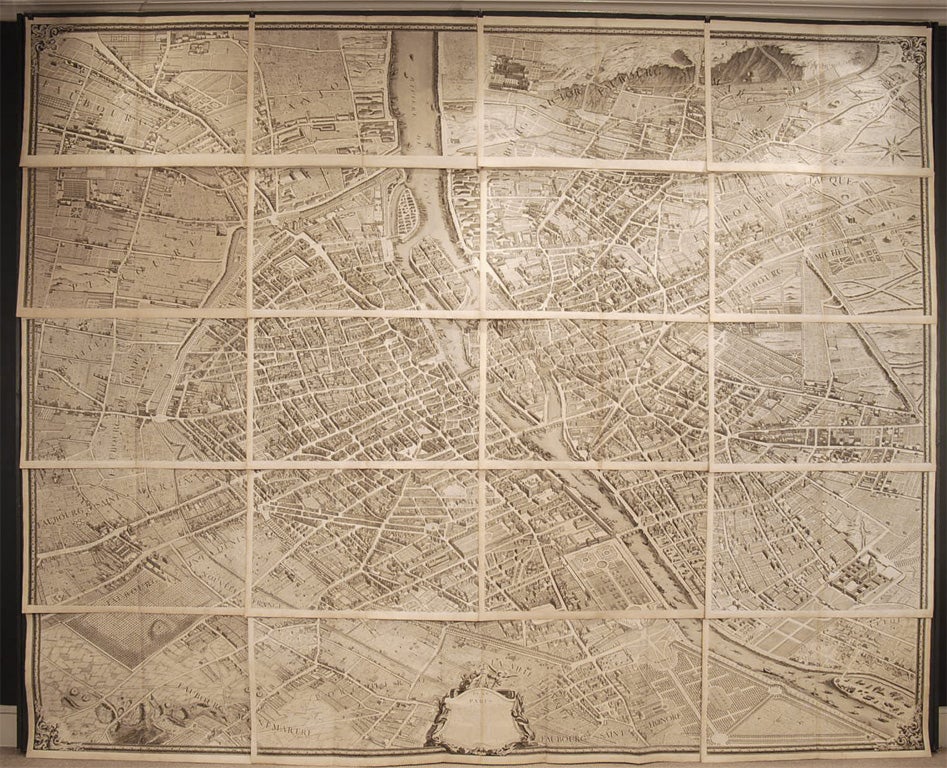
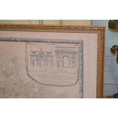
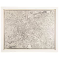
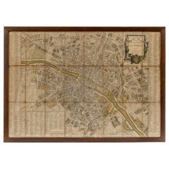
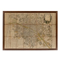
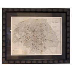
Original Large Antique Map of Paris, France by John Dower, 1861
Located in St Annes, Lancashire
Fabulous monochrome map of Paris. Vignettes of St Germain En Laye, Saint Cloud, Versailles and Fontainbleau.
Category
Antique 1860s English Victorian Maps
Materials
Paper