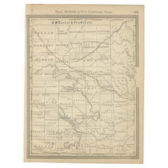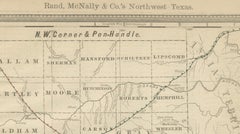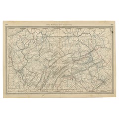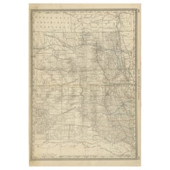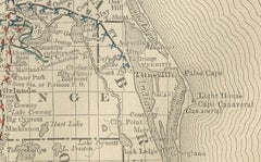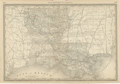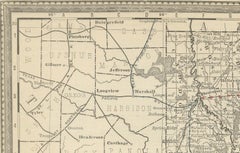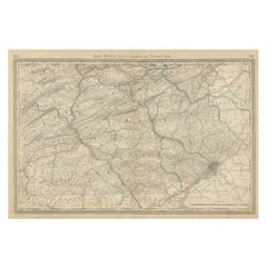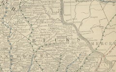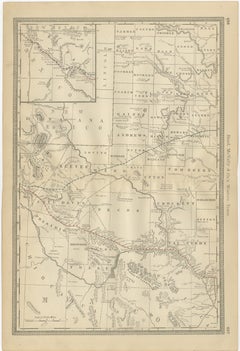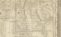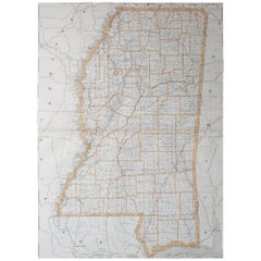

Large Original Antique Map of Mississippi, USA, 1894
$72Sale Price|20% Off
Large Original Antique Map of Mississippi, USA, 1894
By Rand McNally & Co.
Located in St Annes, Lancashire
Fabulous map of Mississippi Original color By Rand, McNally & Co. Published, 1894 Unframed Free shipping.
Category
Antique 1890s American Maps
Materials
Paper