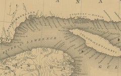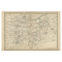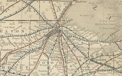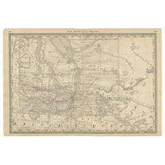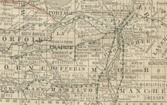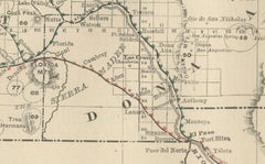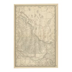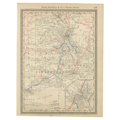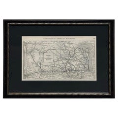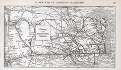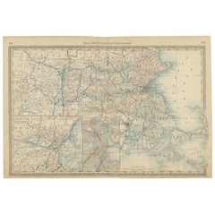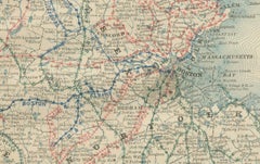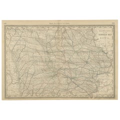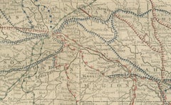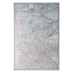
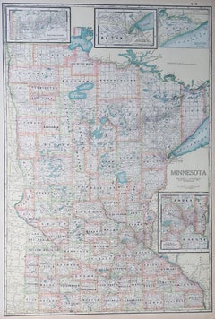
Large Original Antique Map of Minnesota, USA, C.1900
$72Sale Price|20% Off
Large Original Antique Map of Minnesota, USA, C.1900
Located in St Annes, Lancashire
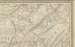
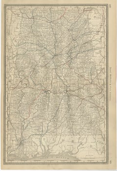
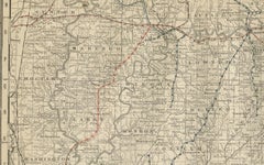
Fabulous map of Minnesota Original color Engraved and printed by the George F. Cram Company, Indianapolis. Published, C.1900 Unframed Repair to a small tear bottom left corner ...
Category
Antique 1890s American Maps
Materials
Paper