Captain Greenvile Collins Prints

to
1
1
Height
to
Width
to
1
1
1
1
1
6
102
88
86
79
Creator: Captain Greenvile Collins
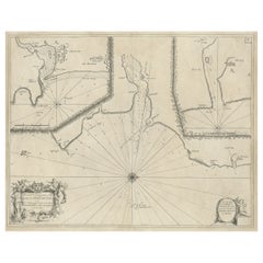
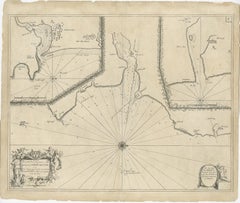
Antique Chart of Dundee, Aberdeen and Montrose in Scotland, C.1774

Antique Chart of Dundee, Aberdeen and Montrose in Scotland, C.1774

By Captain Greenvile Collins

Located in Langweer, NL

Antique map titled 'To the Honble the Magistrates of the Citty of Aberdeene'. Sea chart of Tay Estuary depictinging Dundee, with two further inset charts of Aberdeen and Montrose, wi...

Category

18th Century Antique Captain Greenvile Collins Prints

Materials

Paper

Related Items
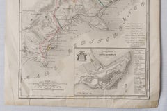
Antique Map of Principality of Monaco, Late 19th Century, Paper Print

Antique Map of Principality of Monaco, Late 19th Century, Paper Print

$355Sale Price|62% Off

H 22.84 in W 15.75 in D 0.04 in

Antique Map of Principality of Monaco, Late 19th Century, Paper Print

By Antonio Vallardi Editore

Located in Alessandria, Piemonte

ST/619 - "Old Geographical Atlas of Italy - Topographic map of ex-Principality of Monaco" - ediz Vallardi - Milano - A somewhat special edition ---  

Category

Late 19th Century Italian Other Antique Captain Greenvile Collins Prints

Materials

Paper

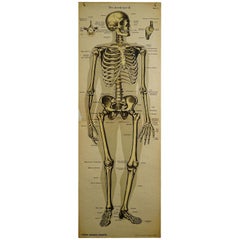
Antique Anatomical Wall Chart Depicting the Human Skeleton

Antique Anatomical Wall Chart Depicting the Human Skeleton

Located in Berghuelen, DE

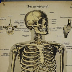
Antique Anatomical Wall Chart Depicting the Human Skeleton A rare 19th century anatomical wall chart depicting the human skeleton. On the sides On the...

Category

Early 20th Century German Victorian Captain Greenvile Collins Prints

Materials

Paper

Antique 18th Century Map of the Province of Pensilvania 'Pennsylvania State'

Antique 18th Century Map of the Province of Pensilvania 'Pennsylvania State'

Located in Philadelphia, PA

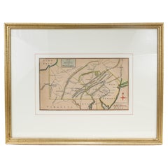
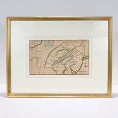
A fine antique of the colony of Pennsylvania. Noted at the top of the sheet as a 'Map of the province of Pensilvania'. This undated and anonymous map is thought to be from the Gentleman's Magazine, London, circa 1775, although the general appearance could date it to the 1760's. The southern boundary reflects the Mason-Dixon survey (1768), the western boundary is placed just west of Pittsburgh, and the northern boundary is not marked. The map has a number of reference points that likely refer to companion text and appear to be connected to boundaries. The western and southern boundaries are marked Q, R, S, for example. A diagonal line runs from the Susquehanna R to the Lake Erie P. A broken line marked by many letters A, B, N, O, etc., appears in the east. There are no latitude or longitude markings, blank verso. Framed in a shaped contemporary gilt wooden frame and matted under a cream colored matte. Bearing an old Graham Arader Gallery...

Category

18th Century British American Colonial Antique Captain Greenvile Collins Prints
Materials

Paper

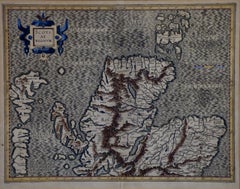
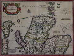
Northern Scotland: A 16th Century Hand-colored Map by Mercator

Northern Scotland: A 16th Century Hand-colored Map by Mercator

By Gerard Mercator

Located in Alamo, CA

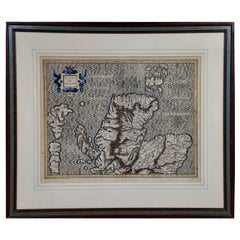
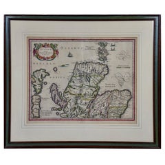
A framed hand-colored 16th century map of Northern Scotland by Gerard Mercator entitled "Scotiae pars Septentrionalis", published in Amsterdam in 1636. It is a highly detailed map of the northern part of Scotland, with the northwest Highlands and the cities Inverness and Aberdeen, as well as the Orkney Islands and the Hebrides. There is a decorative title cartouche in the upper left corner. The map is presented in an antiqued brown wood...

Category

16th Century Dutch Antique Captain Greenvile Collins Prints
Materials

Paper

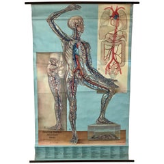
1938 Pull Down Anatomy Chart, Denoyer-Geppert, Artist P.M. Lariviere

1938 Pull Down Anatomy Chart, Denoyer-Geppert, Artist P.M. Lariviere

By Denoyer-Geppert

Located in Buffalo, NY

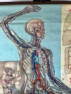
1938 pull down anatomy chart, Denoyer-Geppert. Artist P.M. Lariviere. KL3 circulatory system. Stunning image, screenprint on linen.

Category

1930s American Industrial Vintage Captain Greenvile Collins Prints

Materials

Linen

Antique Foldable Anatomical Wall Chart Depicting Human Musculature

Antique Foldable Anatomical Wall Chart Depicting Human Musculature

Located in Berghuelen, DE

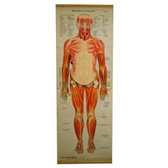
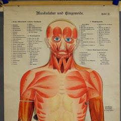
Antique Foldable Anatomical Wall Chart Depicting Human Musculature The rare 19th century anatomical wall chart depicts the human musculature and inter...

Category

Early 20th Century German Victorian Captain Greenvile Collins Prints

Materials

Wood, Paper

Northern Scotland: A 17th Century Hand-colored Map by Mercator

Northern Scotland: A 17th Century Hand-colored Map by Mercator

By Gerard Mercator

Located in Alamo, CA

This is a framed hand-colored 17th century map of Northern Scotland by Gerard Mercator entitled "Scotiae pars Septentrionalis", published in Amsterdam in 1636. It is a highly detailed map of the northern part of Scotland, with the northwest Highlands and the cities Inverness and Aberdeen, as well as the Orkney Islands and the Hebrides. There is a decorative title cartouche in the upper left corner. The map is presented in an antiqued brown wood...

Category

1630s Dutch Antique Captain Greenvile Collins Prints

Materials

Paper

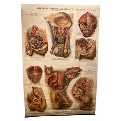
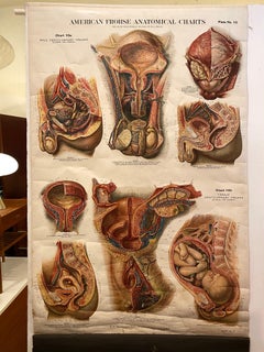
Genito-Urinary Anatomical Chart, Paper on Canvas, 1922

Genito-Urinary Anatomical Chart, Paper on Canvas, 1922

By Fritz Frohse, Nystrom / Frohse Art

Located in Philadelphia, PA

Genito-Urinary Anatomical Chart by Fritz Frohse. Dated 1922. Paper mounted on canvas. Shows wear but still presents very well!

Category

1920s German American Classical Vintage Captain Greenvile Collins Prints

Materials

Canvas, Paper

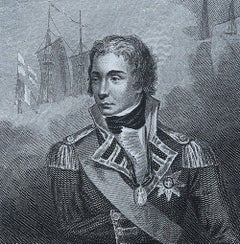
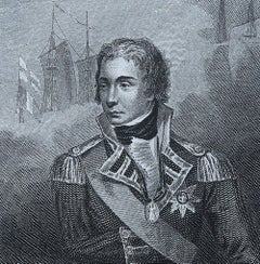
Original Antique Print of Admiral Lord Nelson. Dated 1815

Original Antique Print of Admiral Lord Nelson. Dated 1815

Located in St Annes, Lancashire

Great image of Lord Nelson Copper-plate engraving Published by Brightly, 1815 Unframed. Free shipping

Category

1810s English Antique Captain Greenvile Collins Prints
Materials

Paper

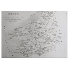
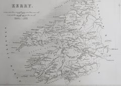
Original Antique Map of Ireland- Kerry. C.1840

Original Antique Map of Ireland- Kerry. C.1840

$35

H 6.25 in W 9.5 in D 0.07 in

Original Antique Map of Ireland- Kerry. C.1840

Located in St Annes, Lancashire

Great map of Kerry Steel engraving Drawn under the direction of A.Adlard Published by How and Parsons, C.1840 Unframed.

Category

1840s English Antique Captain Greenvile Collins Prints
Materials

Paper

Captain Greenvile Collins prints for sale on 1stDibs.

Captain Greenvile Collins prints are available for sale on 1stDibs. These distinctive items are frequently made of paper and are designed with extraordinary care. There are many options to choose from in our collection of Captain Greenvile Collins prints, although beige editions of this piece are particularly popular. If you’re looking for additional options, many customers also consider prints by Jacques-Nicolas Bellin, Georg Balthasar Probst, and Prevost. Prices for Captain Greenvile Collins prints can differ depending upon size, time period and other attributes — on 1stDibs, these items begin at $291 and can go as high as $291, while a piece like these, on average, fetch $291.

Creators Similar to Captain Greenvile Collins