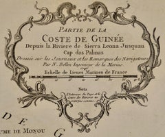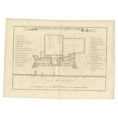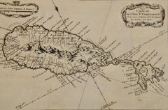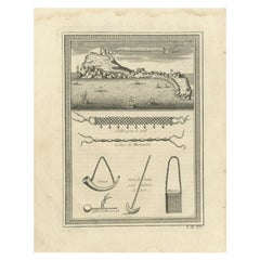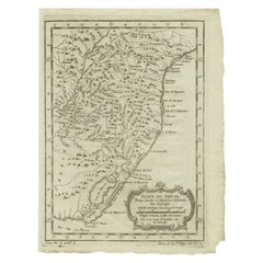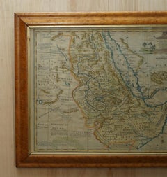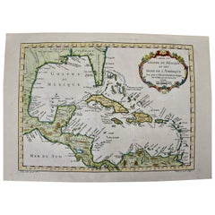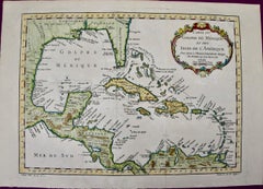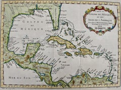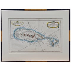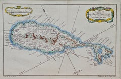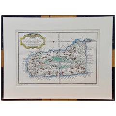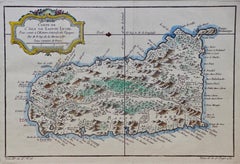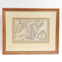
Antique Map of Virginia & the Chesapeake Bay by Jacques-Nicolas Bellin, c. 1750
By Jacques-Nicolas Bellin
Located in Philadelphia, PA
A fine antique 18th century French map of North America. By Jacques-Nicolas Bellin. On laid paper with polychrome highlights. Depicting Virginia, the Chesapeake Bay, and the nearb...
Category
18th Century French Baroque Antique Jacques-Nicolas Bellin Furniture
Materials
Paper