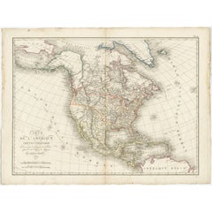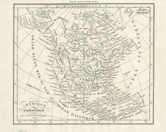
Early 19th Century Hand Coloured Map of North America by Aaron Arrowsmith
$795Sale Price|36% Off
Early 19th Century Hand Coloured Map of North America by Aaron Arrowsmith
By Aaron Arrowsmith
Located in Hamilton, Ontario
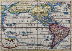
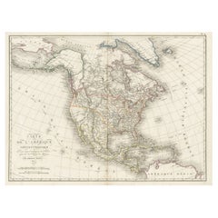
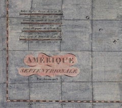
Hand coloured map in French by English cartographer Aaron Arrowsmith (1750–1823) titled "Amerique Septentionale" (North America). Map size: 9.5" x 8" Mat size: 20.5" x 14.25".
Category
Early 19th Century English Antique Aaron Arrowsmith
Materials
Paper