By Donatas Žukauskas
Located in Geneve, CH
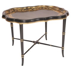
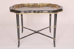
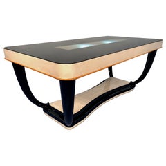
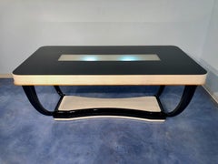
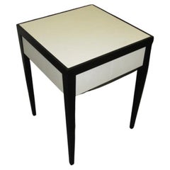
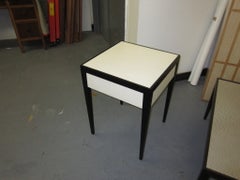
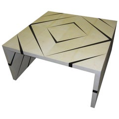
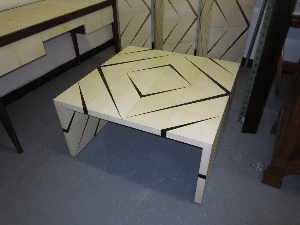
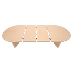
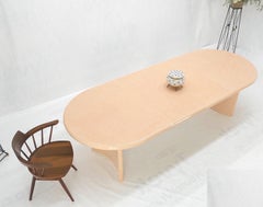
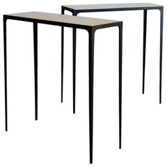
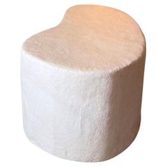
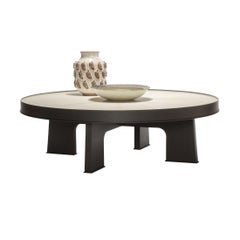
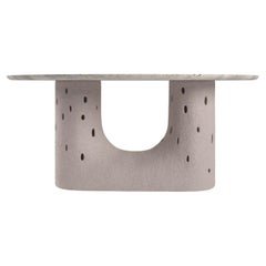
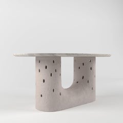
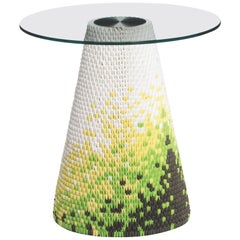
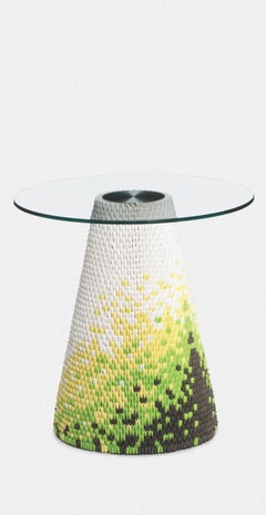
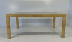
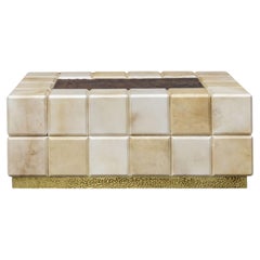
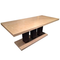
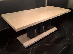
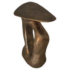
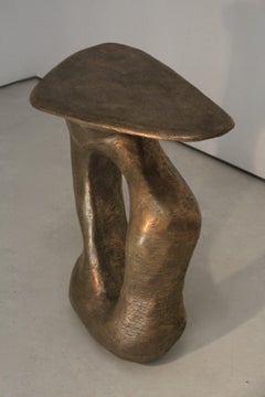
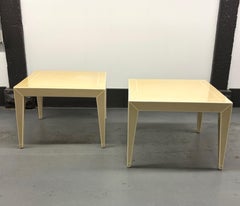
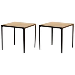
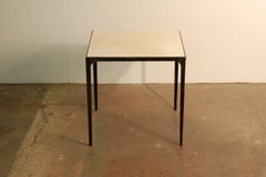
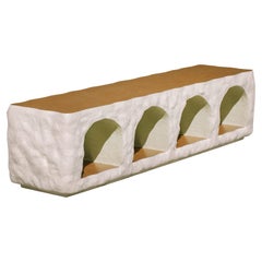
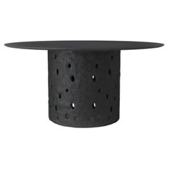
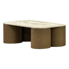
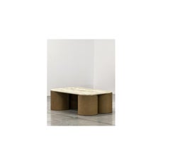
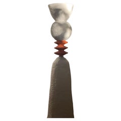
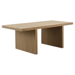
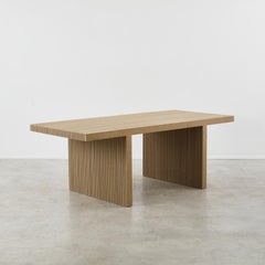
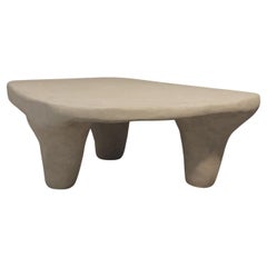
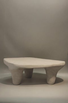
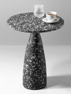
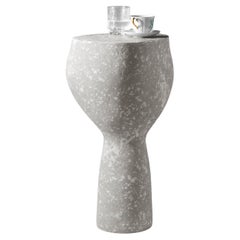
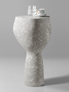
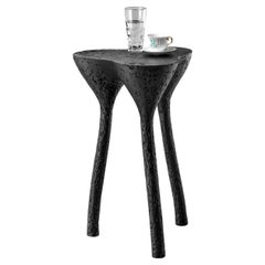
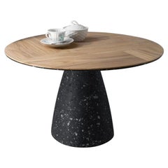
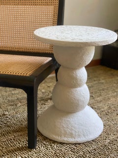
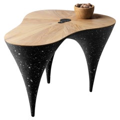
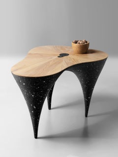
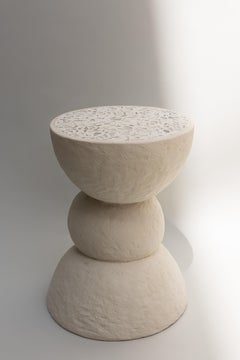
Modern Coffee Table by Kasanai
Dimensions: D 63 x H 40 cm.
Materials: Oak, cement, recycled paper, glue, paint.
15 kg.
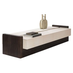
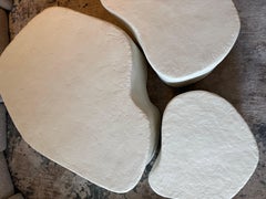
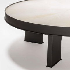
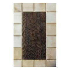
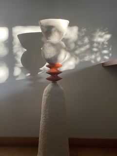
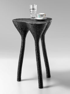
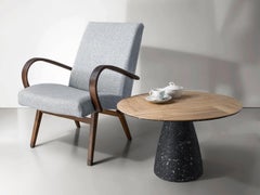
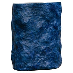
The visual inspiration for the coffee table is a combination of natural wood and concrete. These two opposite materials combined, create a unique character of the product that has the coldness of concrete and the coziness of wood. The main goal of the project was to create not only a piece of furniture, but also a sculptural and elegant detail of the interior.
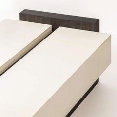
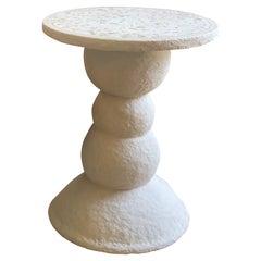
The tabletop is made of natural oak, and the base of the table, resembling concrete in appearance, is made by pouring solid mass. The set task was technologically challenging - it was necessary to fuse wet mass and moisture-sensitive wood. The entire structure of the table is manufactured at the same time, so that the two materials join together smoothly and precisely to avoid any gaps. After the product dries, it is scrubbed, and the tabletop is oiled.
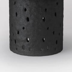
The black concrete-like material is the result of various experiments. It is a mixture of several components: an eco-friendly of cement, recycled paper, glue, and paint. Dried it becomes as strong as wood, it resembles concrete but is slightly elastic, so it does not split or crumble.The result is a natural texture and strength that ensures durability, setting it apart as a unique and sustainable piece.
Donatas Žukauskas...
Category
2010s Lithuanian Post-Modern Paper Tables