Ancient Maps

to
4
243
16

Use search to find more

141
104
98
51
48
29
23
21
20
17
16
14
12
11
8
8
6
6
5
4
4
4
4
4
3
3
3
3
2
2
2
2
2
2
2
2
2
2
2
1
1
1
1
1
1
1
1
1
19
2
2
2
2

Use search to find more

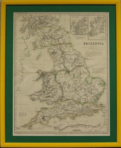
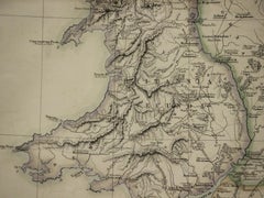
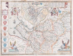
"Britannia"
"Britannia"

"Britannia"

Located in Bristol, CT

Weller for Dr William Smith's 'Ancient Atlas' plate No. 10 Map Sz: 22 1/2"H x 17 3/8"W Frame Sz: 27 1/8"H x 22"W

Category

1870s Prints and Multiples

Materials

Paper

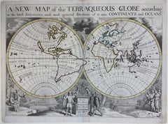
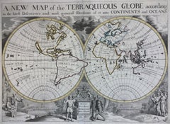
New Map of the Terraqueous Globe - WORLD MAP - CALIFORNIA AS AN ISLAND

New Map of the Terraqueous Globe - WORLD MAP - CALIFORNIA AS AN ISLAND

By Edward Wells

Located in Santa Monica, CA

A decorative view featuring Oxford. From "A New Sett of Maps both of Ancient and Present Geography". The atlas compiled by mathematician and geographer Edward Wells (1667-1727) and ...

Category

Early 1700s Old Masters Landscape Prints

Materials

Engraving
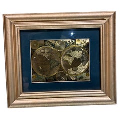
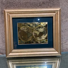
Late 20th Century Gold Foil World Map Double Hemisphere

Late 20th Century Gold Foil World Map Double Hemisphere

Located in Chula Vista, CA

Late 20th Century Gold Foil Ancient World Map Double Hemisphere Gold Foil Old World Framed Map information on reverse of the print.

Category

Late 20th Century English Mid-Century Modern Prints

Materials

Gold

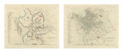
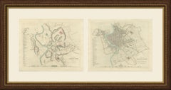
Antique Plans of Ancient and Modern Rome by W. B. Clarke, 1847

Antique Plans of Ancient and Modern Rome by W. B. Clarke, 1847

Located in Langweer, NL

Clarke and both signed by him on the plate. The plan of ancient Rome maps the fourteen Augustan regions with the Tiber, the walls of Servius Tullius and of Aurelian, the circuses, th...

Category

Antique Mid-19th Century British Prints

Materials

Paper

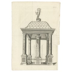
Monumental Design with World Map Pillar – Engraving after Volckamer, c.1780
Monumental Design with World Map Pillar – Engraving after Volckamer, c.1780
Located in Langweer, NL

At its center stands the so-called *Columna Milliaria*, a column believed to reference or metaphorically embody the Roman Tabula Peutingeriana – the famous ancient Roman map depictin...

Category

Antique 18th Century Prints

Materials

Paper

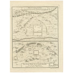
1749 Jacques Nicolas Bellin Map of the Great Wall of China Near Kiang-nan fu

1749 Jacques Nicolas Bellin Map of the Great Wall of China Near Kiang-nan fu

Located in Langweer, NL

Built by Ancient War Planters." The map showcases the detailed topography around segments of the Great Wall and labels various sections and nearby locations.

Category

Antique 1750s Prints

Materials

Paper

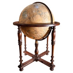
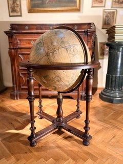
19th-Century Antique Italian Celestial Globe on Turned Wood Floor Stand

19th-Century Antique Italian Celestial Globe on Turned Wood Floor Stand

Located in Firenze, IT

The globe acts as a visual map of the ancient night sky, coded according to ancient astrological planet governors including Leo, Scorpio, and Cancer. 

Category

Antique 19th Century Italian Grand Tour Globes

Materials

Iron

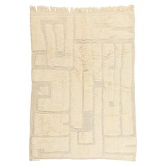
The Quiet Labyrinth: A Beni Mrirt Moroccan Masterpiece of Sculptural Elegance

The Quiet Labyrinth: A Beni Mrirt Moroccan Masterpiece of Sculptural Elegance

By Beni Mrirt, Berber Tribes of Morocco

Located in Dallas, TX

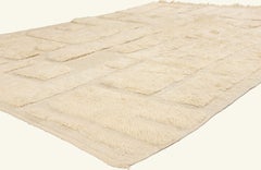
The sculpted labyrinth unfolds through interconnected rectangles that recall the pathways of ancient settlements, symbolic maps of memory, and the interconnected nature of human exis...

Category

21st Century and Contemporary Moroccan Minimalist Moroccan and North Afr...

Materials

Wool

Vintage Monumental Mixed Media Disc Wall Sculpture

Vintage Monumental Mixed Media Disc Wall Sculpture

Located in West Palm Beach, FL

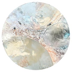
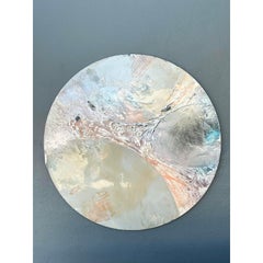
The interplay of cool grays, warm terracotta, and subtle teal highlights creates a dynamic surface that shifts with the light, evoking the sublime beauty of lunar surfaces or ancient...

Category

Late 20th Century American Brutalist Wall-mounted Sculptures

Materials

Resin, Wood

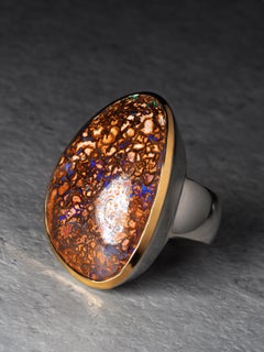
Large Boulder Koroit Opal Silver Ring 9ct opal anniversary gift

Large Boulder Koroit Opal Silver Ring 9ct opal anniversary gift

Located in Berlin, DE

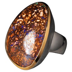
The large 9-carat opal displays an intricate natural matrix - a network of glowing, ribbon-like formations reminiscent of ancient continental maps, deep riverbeds, and mineral veins ...

Category

2010s German Artisan Cocktail Rings

Materials

Opal, 18k Gold, Gold Plate, Silver

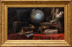
Allegory of Geography

Allegory of Geography

Located in Paris, IDF

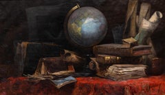
A globe sits at the center of the composition, surrounded by ancient books, maps, and manuscripts, evoking exploration, cartography, and the transmission of knowledge.

Category

Late 19th Century French School Still-life Paintings

Materials

Oil

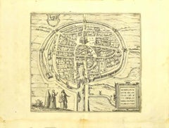
Two Antique Views of the Ruins of the Tower of Babel, Babylon, 1683

Two Antique Views of the Ruins of the Tower of Babel, Babylon, 1683

Located in Langweer, NL

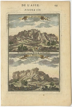
His Description de L'Universe contains a wide variety of information, including star maps, maps of the ancient and modern world, and a synopsis of the customs, religion and governmen...

Category

Antique 1680s Prints

Materials

Paper

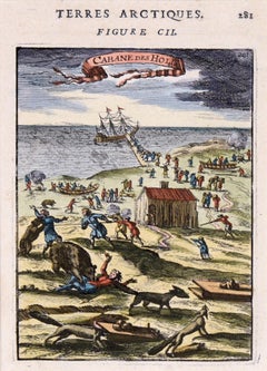
Rare Hand Colored "Cabane Des Hold" - 1st Ed "Description de l’Univers" C. 1683

Rare Hand Colored "Cabane Des Hold" - 1st Ed "Description de l’Univers" C. 1683

By Alain Manesson Mallet

Located in Soquel, CA

He is best known for his extensive work Description de L'Univers (1683) in 5 volumes, a copious publication which contains maps of all parts of the then-known world (both ancient and...

Category

1680s Realist Landscape Prints

Materials

Paper, Ink, Gouache

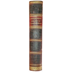
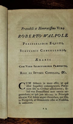
Demosthenis Selectae Orationes by Richard Mounteney 1791 7th Edition

Demosthenis Selectae Orationes by Richard Mounteney 1791 7th Edition

Located in Dallas, TX

Title: Demosthenis Selectae Orationes Ad Codices … Publisher: J.Pote, J.Rivington et Filios, London Publication Date: 1791 Binding: Full-Leather Book condition: Very good...

Category

Antique 18th Century English Classical Greek Books

Materials

Leather, Paper

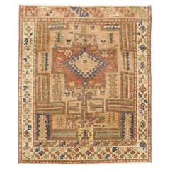
The Anatolian Cipher: A Modern Oushak Masterpiece of Bohemian Tribal Elegance

The Anatolian Cipher: A Modern Oushak Masterpiece of Bohemian Tribal Elegance

Located in Dallas, TX

Their placement frames the striking composition with an intentional sense of order, creating the impression of an ancient emblematic map rendered through a modern lens.

Category

21st Century and Contemporary Pakistani Oushak Turkish Rugs

Materials

Wool

  • 1
Get Updated with New Arrivals
Save "Ancient Maps", and we’ll notify you when there are new listings in this category.

Ancient Maps For Sale on 1stDibs

An assortment of ancient maps is available at 1stDibs. The range of distinct ancient maps — often made from paper, brass and metal — can elevate any home. There are all kinds of ancient maps available, from those produced as long ago as the 18th Century to those made as recently as the 20th Century. There have been many well-made ancient maps over the years, but those made by Johann Georg Heck, Alessandro Moschetti and Karl Spruner von Merz are often thought to be among the most beautiful.

How Much are Ancient Maps?

The average selling price for at 1stDibs is $298, while they’re typically $67 on the low end and $9,198 highest priced.