Items Similar to 1749 Jacques Nicolas Bellin Map of the Great Wall of China Near Kiang-nan fu


Want more images or videos?
Request additional images or videos from the seller
1 of 6
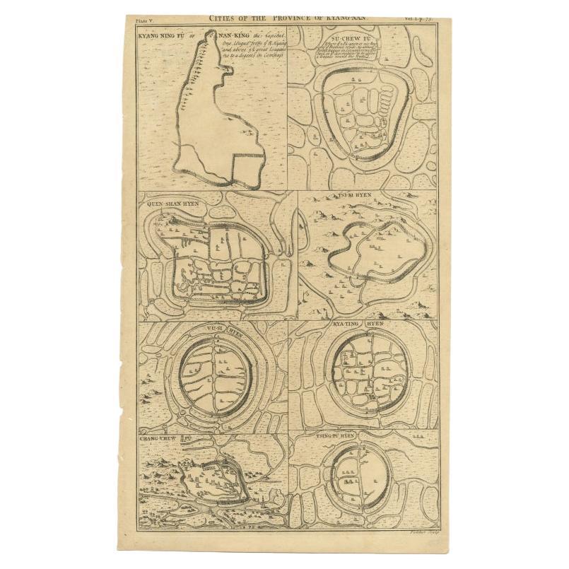
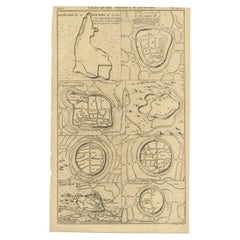
1749 Jacques Nicolas Bellin Map of the Great Wall of China Near Kiang-nan fu
About the Item
This original antique image is an historical map by Jacques Nicolas Bellin, depicting the Great Wall of China as it was understood in the mid-18th century.
The map includes French text.
The title of the map, "Plan de Long-men-hien. Près de la grande muraille, dépendant de Kiang-nan fu." translates to "Map of Long-men-hien. Near the great wall, depending on Kiang-nan fu."
The text below, "Plan d'une Partie de la Grande Muraille Du côté de Kiang-ning-fu. Construite par D'anciens Planteurs de Guerre," translates to "Map of a Part of the Great Wall On the side of Kiang-ning-fu. Built by Ancient War Planters."
The map showcases the detailed topography around segments of the Great Wall and labels various sections and nearby locations. At the time, European knowledge of China was still limited and often filtered through the accounts of missionaries and traders, which makes Bellin's work a significant early attempt to systematically chart such a remote and iconic structure as the Great Wall.
- Dimensions:Height: 9.97 in (25.3 cm)Width: 7.05 in (17.9 cm)Depth: 0 in (0.02 mm)
- Materials and Techniques:Paper,Engraved
- Period:1750-1759
- Date of Manufacture:1754
- Condition:Good. General age-related toning and/or occasional minor defects from handling. Please study scan carefully.
- Seller Location:Langweer, NL
- Reference Number:
About the Seller
5.0
Platinum Seller
These expertly vetted sellers are 1stDibs' most experienced sellers and are rated highest by our customers.
Established in 2009
1stDibs seller since 2017
1,922 sales on 1stDibs
Typical response time: <1 hour
- ShippingRetrieving quote...Ships From: Langweer, Netherlands
- Return PolicyA return for this item may be initiated within 14 days of delivery.
More From This SellerView All
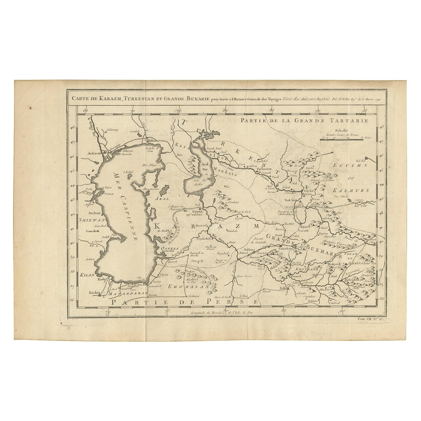
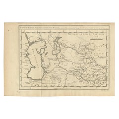
- Antique Map of Khwarezm, Turkestan and Great Bukhara by Bellin, '1749'Located in Langweer, NLAntique map titled 'Carte de Karazm, Turkestan, et Grande Bukarie'. Original antique map of Khwarezm, Turkestan and Great Bukhara. Engraved by J.N. Bellin for 'Histoire Générale des ...Category
Antique Mid-18th Century Maps
MaterialsPaper
- Antique Map of Cities of the Province of Che-Kiang in China, 1738Located in Langweer, NLAntique map titled 'Cities of the Province of Che-Kyang'. Old map depicting four walled cities of the Chinese Qing dynasty province of Che-Kiang (modern day CHEKIANG): Hang Chew Fu (...Category
Antique 18th Century Maps
MaterialsPaper
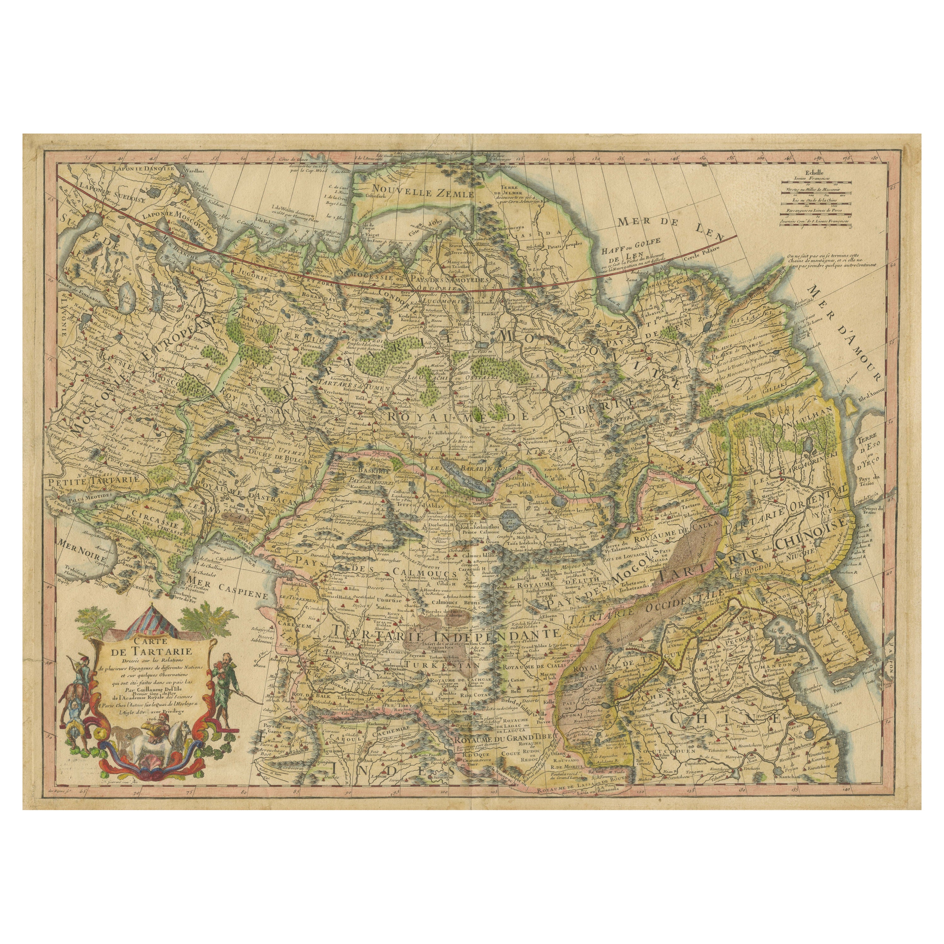
- Antique Map of Tartary, Also Showing the Great Wall of ChinaLocated in Langweer, NLAntique map titled 'Carte de Tartarie'. Detailed map of Tartary, consisting of the Eastern part of Russia, Central Asia, China and Korea, first published by Guillaume De L'Isle in 1706. The map extends from the Peninsula of Korea in the east to the Caspian and Black Seas. The Great Wall of China...Category
Antique Early 18th Century Maps
MaterialsPaper
- Antique Map of Cities of the Province of Shanxi in China, 1749By Jacques-Nicolas BellinLocated in Langweer, NLAntique print titled: 'Lan-Tcheou ou Lan-Chew dan la province Chensi; Can Tcheou ou Kan-Chew dan la province de Chensi; Tchin-Ywe-Fou ou Chin-Ywen-Fu dans la province de Koei-Tcheou ...Category
Antique 18th Century Maps
MaterialsPaper
- Antique Map of the Mouth of the Yangtze River 'China' by J.N. Bellin, 1764Located in Langweer, NLThis detailed regional map of China is a historical cartographic work from the mid-18th century and is attributed to Antoine-François Prévost, a prominent French cartographer and geo...Category
Antique Mid-18th Century Maps
MaterialsPaper
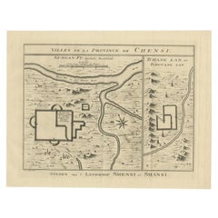
- Antique Map of Cities in the Province of Shanxi in China, 1749Located in Langweer, NLAntique print titled 'Villes de la Province de Chensi - Steden van 't Landschap Shensi of Shansi'. Interesting set of two local town plans of ""Si-Ngan-Fu: Capitale."" and ""Tchang L...Category
Antique 18th Century Maps
MaterialsPaper


You May Also Like
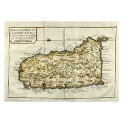
- Jacques Nicolas Bellin, St Lucia, West Indies, Hand Colored MapBy Jacques-Nicolas BellinLocated in Norwich, GBCarte De L’Isle De Sainte Lucie Detailed copper engraved map of Saint Lucia by Jacques Nicolas Bellin. This map was completed by Krevely 1775 for for the rare Dutch edition of ...Category
Antique 1770s Dutch Georgian Prints
MaterialsPaper
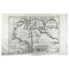
- Bellin, map, Hudson Bay, Canada, James Bay, LabradorLocated in Norwich, GB“Carte de la Baye de Hudson” Map of the Hudson Bay area of Northern Canada. Shows Hudson Bay, James Bay, Labrador (previously called New Brittany by the Fr...Category
Antique 1880s American Prints
MaterialsPaper
- Captain Cook's Exploration of Tahiti 18th C. Hand-Colored Map by BellinBy Jacques-Nicolas BellinLocated in Alamo, CAThis beautiful 18th century hand-colored copper plate engraved map is entitled "Carte de l'Isle de Taiti, par le Lieutenant J. Cook" was created by Jacques Nicolas Bellin and publish...Category
Antique Mid-18th Century French Maps
MaterialsPaper
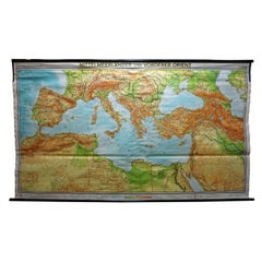
- Vintage Mural Map Mediterranean Sea Near East Countries Rollable Wall ChartLocated in Berghuelen, DEA large countrycore pull-down map showing the countries surrounding the Mediterranean Sea, published by Westermann. Colorful print on paper reinforced with canvas. Measurements: Width 269 cm (105.91 inch) Height 149 cm (58.66 inch) The measurements shown refer just to the canvas and do not include the poles. Background information on the history of school wall charts: The idea to upgrade every day school life by using pictures...Category
Vintage 1970s German Country Prints
MaterialsCanvas, Wood, Paper
- West Coast of Africa, Guinea & Sierra Leone: An 18th Century Map by BellinBy Jacques-Nicolas BellinLocated in Alamo, CAJacques Bellin's copper-plate map entitled "Partie de la Coste de Guinee Dupuis la Riviere de Sierra Leona Jusquau Cap das Palmas", depicting the coast of Guinea and Sierra Leone in ...Category
Antique Mid-18th Century French Maps
MaterialsPaper
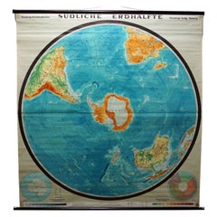
- Southern Hemisphere of the Earth Rollable Map Vintage Wall ChartLocated in Berghuelen, DEA great pull-down map or vintage wall chart illustrating the southern hemisphere of the earth, published by Prof. Dr. C. Troll, Flemmings Verlag Hamburg. Colorful print on paper rein...Category
Mid-20th Century German Country Prints
MaterialsCanvas, Wood, Paper