Items Similar to Two Antique Views of the Ruins of the Tower of Babel, Babylon, 1683

Want more images or videos?
Request additional images or videos from the seller
1 of 5
Two Antique Views of the Ruins of the Tower of Babel, Babylon, 1683
About the Item
Antique print titled 'Ruines De La Tour De Babel (Aspect Septentrional and Aspect Meridional)'.
Two views of the ruins of the Tower of Babel, Babylon. This print originates from Alain Manesson Mallet's 'Description de l 'Univers'.
Artists and Engravers: Alain Manesson Mallet (1630–1706) was a French cartographer and engineer. He started his career as a soldier in the army of Louis XIV, became a Sergeant-Major in the artillery and an Inspector of Fortifications. He also served under the King of Portugal, before returning to France, and his appointment to the court of Louis XIV. His military engineering and mathematical background led to his position teaching mathematics at court. His major publications were Description de L'Univers (1683) in 5 volumes, and Les Travaux de Mars ou l'Art de la Guerre (1684) in 3 volumes.
His Description de L'Universe contains a wide variety of information, including star maps, maps of the ancient and modern world, and a synopsis of the customs, religion and government of the many nations included in his text. It has been suggested that his background as a teacher led to his being concerned with entertaining his readers. This concern manifested itself in the charming harbor scenes and rural landscapes that he included beneath his description of astronomical concepts and diagrams. Mallet himself drew most of the figures that were engraved for this book.
- Dimensions:Height: 20.5 in (52.07 cm)Width: 13.5 in (34.29 cm)Depth: 0.002 in (0.06 mm)
- Materials and Techniques:
- Period:1680-1689
- Date of Manufacture:1683
- Condition:Wear consistent with age and use. Condition: Very good, general age-related toning. French text on verso, please study image carefully.
- Seller Location:Langweer, NL
- Reference Number:
About the Seller
5.0
Platinum Seller
These expertly vetted sellers are 1stDibs' most experienced sellers and are rated highest by our customers.
Established in 2009
1stDibs seller since 2017
1,922 sales on 1stDibs
Typical response time: <1 hour
- ShippingRetrieving quote...Ships From: Langweer, Netherlands
- Return PolicyA return for this item may be initiated within 14 days of delivery.
More From This SellerView All
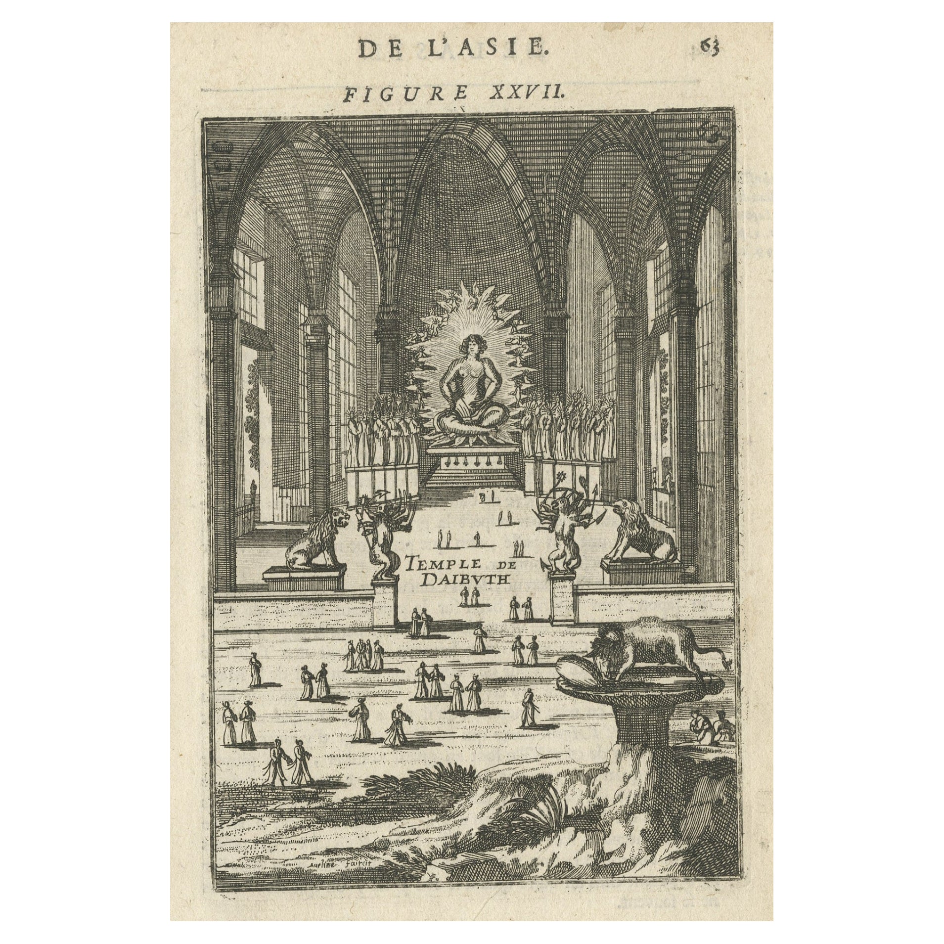
- Antique Print with a View of the Temple of Daibuth, Japan, 1683Located in Langweer, NLAntique print titled 'Temple de Daibuth'. View of the temple of Daibuth, Japan. Originates from 'Description de l'Univers'. Artists and Engravers: Alain Manesson Mallet, a Fr...Category
Antique 1680s Prints
MaterialsPaper
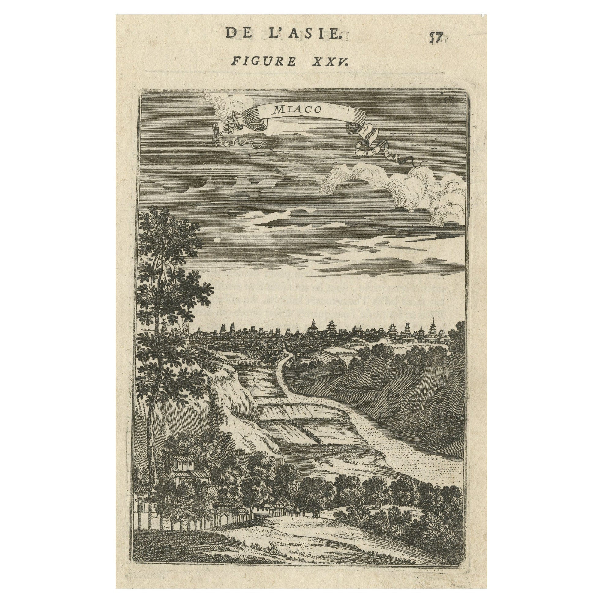
- Old Original Miniature View of the Skyline of Miaco 'Kyoto, Japan', 1683Located in Langweer, NLAntique print titled 'De l'Asie Figure XXV, Miaco'. Miniature view of the skyline of Miaco (Kyoto, Japan). This print originates from 'Description de l'Univers', published 1683. ...Category
Antique 1680s Maps
MaterialsPaper
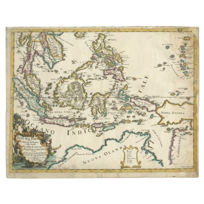
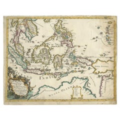
- Antique Map of the East Indies by Rossi, 1683Located in Langweer, NLAntique map titled 'Isole Dell'India cioe le Molucche la Filippine e della Sonda Parte de Paesi di nuova scoperta e l'Isole de Ladri ne Mare del Zud (..)'. Decorative map of Southeas...Category
Antique 17th Century Maps
MaterialsPaper
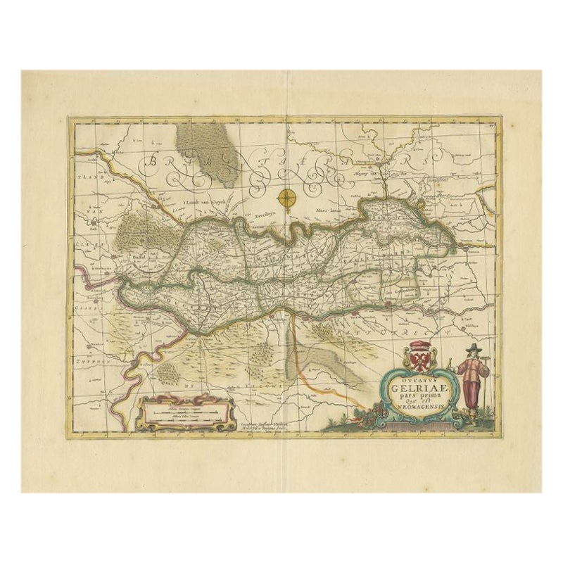
- Antique Map of the Region of Zutphen in Overijssel, The Netherlands, 1683Located in Langweer, NLAntique map titled 'Ducatus Gelriae pars prima Quae est Neomagensis'. Antique map of the region of Zutphen, Gelderland, the Netherlands. This map originates from 'The English Atlas' ...Category
Antique 17th Century Maps
MaterialsPaper
- Antique Map of the Eastern Hemisphere in Frame, 'circa 1683'Located in Langweer, NLAntique map titled 'Climats selon les Anciens'. Miniature map of the Eastern Hemisphere showing the climatic regions. This map originates from 'Description de l'Univers' by A.M. Mall...Category
Antique Late 17th Century Maps
MaterialsPaper
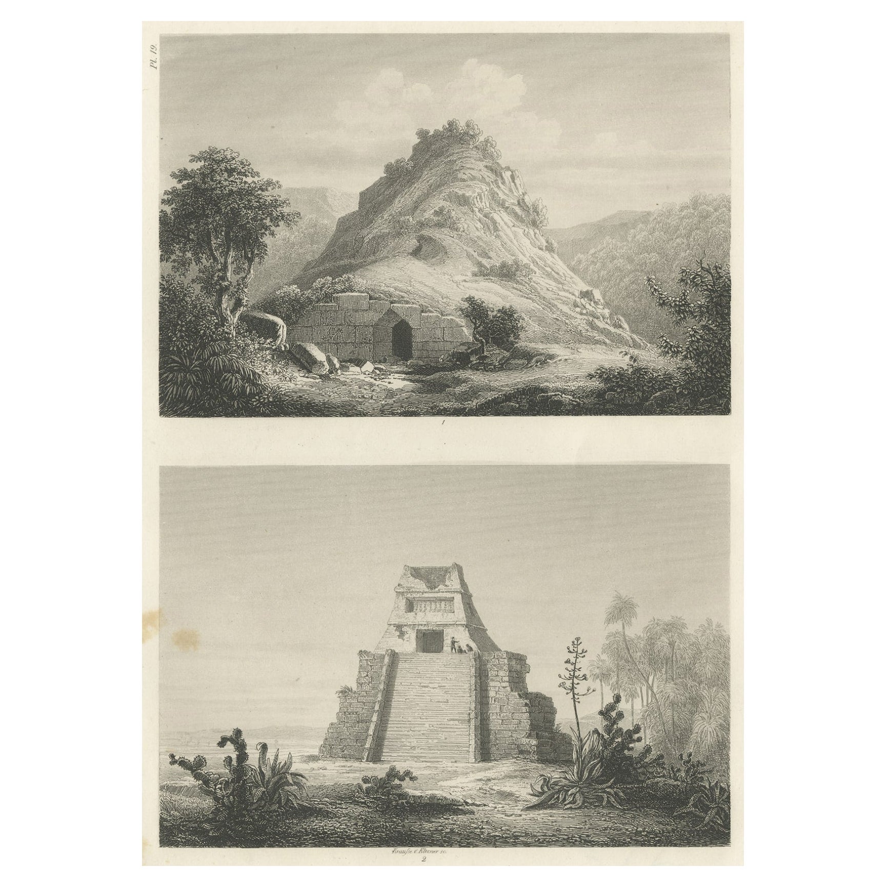
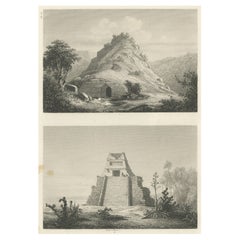
- Original Rare Antique Print of Two Ruins in Mexico, 1857Located in Langweer, NLTwo images on one sheet depicting ruins in Mexico. This print originates from 'Die Kunstwerke vom Alterthum bis auf die Gegenwart, oder, Wegweiser durch das ganze Gebiet der bildende...Category
Antique 19th Century Prints
MaterialsPaper

You May Also Like
- N.E. View of the United States Capitol, Washington, DC Antique Proof Print 1858Located in Colorado Springs, COThis engraved print shows a view of the United States Capitol Building, in Washington, D.C. The print depicts the neoclassical building from the northeast orientation, with a bustling street scene in front. The steel engraving is a proof printing, drawn and engraved by Henry Sartain and published in 1858. Plans began in May 1854 to build a new cast-iron dome for the United States Capitol. The then-architect of the Capitol Thomas Walter and his team were sold on the aesthetics of a new dome, as well as the utility of a fire-proof one. A year later, on March 3, 1855, President Franklin Pierce...Category
Antique 1850s American Prints
MaterialsPaper
- Vintage "View of the Center of Paris Taken from the Air" Lithograph MapLocated in San Diego, CAA very stylish "View of the Center of Paris Taken from the Air" lithograph map published by the Paris Ministry of Tourism, circa early 1950s. The piece measures 27" x 43" and shows...Category
20th Century French Mid-Century Modern Prints
MaterialsPaper
- Antique 18th Century Map of the Province of Pensilvania 'Pennsylvania State'Located in Philadelphia, PAA fine antique of the colony of Pennsylvania. Noted at the top of the sheet as a 'Map of the province of Pensilvania'. This undated and anonymous map is thought to be from the Gentleman's Magazine, London, circa 1775, although the general appearance could date it to the 1760's. The southern boundary reflects the Mason-Dixon survey (1768), the western boundary is placed just west of Pittsburgh, and the northern boundary is not marked. The map has a number of reference points that likely refer to companion text and appear to be connected to boundaries. The western and southern boundaries are marked Q, R, S, for example. A diagonal line runs from the Susquehanna R to the Lake Erie P. A broken line marked by many letters A, B, N, O, etc., appears in the east. There are no latitude or longitude markings, blank verso. Framed in a shaped contemporary gilt wooden frame and matted under a cream colored matte. Bearing an old Graham Arader Gallery...Category
Antique 18th Century British American Colonial Maps
MaterialsPaper
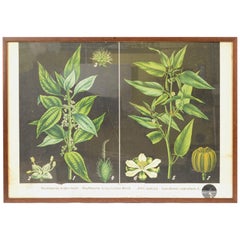
- Antique Botanical Plate Boehmeria tenacissima Bohemian Manufacture of the 1930sLocated in Milan, ITColored lithograph applied on light cardboard depicting botanical study with various sections of Boehmeria tenacissima Roxb and of Corchorus capsularis L. Bohemian manufacture of the...Category
Vintage 1930s Czech Prints
MaterialsPaper
- Original Antique Map of The World by Thomas Clerk, 1817Located in St Annes, LancashireGreat map of The Eastern and Western Hemispheres On 2 sheets Copper-plate engraving Drawn and engraved by Thomas Clerk, Edinburgh. Published by Mackenzie And Dent, 1817 ...Category
Antique 1810s English Maps
MaterialsPaper
- Catalogue of Engraved Views, Plans, Etc., Of New York City, 1st EdLocated in valatie, NYA catalogue of engraved views, plans, etc., Of New York City, (The Collection of Percy R. Pyne II). Privately Printed by The De Vinne Press, New York, 1912. Limited to 100 copies. Gr...Category
Early 20th Century American Books
MaterialsPaper


Recently Viewed
View AllMore Ways To Browse
Drew Antique Furniture
Harbor View Antique
Diagram Map
Mallet Antiques
Antique Diagrams
Babel Tower
Tower Of Babel
Antique Map Of Portugal
Antique Map Portugal
Antique Map Background
Ancient Babylon
Babylon Map
Antique Tapestry Framed
Framed Antique Tapestry
Pair Of Chest Nightstand
Tapestry Border
Wall Hook Hand
Large Antique Wood Doors