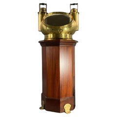
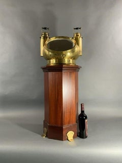
Solid Brass Ships Binnacle Stand
Located in Norwell, MA
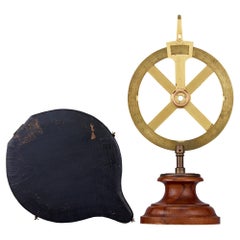
Early twentieth century ships binnacle with mushroom top, gimballed compass, three legged stand, etc. Meticulously polished and lacquered.
1920s North American Antique Compasses
Brass
Solid Brass Ships Binnacle Stand
Located in Norwell, MA
Early twentieth century ships binnacle with mushroom top, gimballed compass, three legged stand, etc. Meticulously polished and lacquered.
Brass
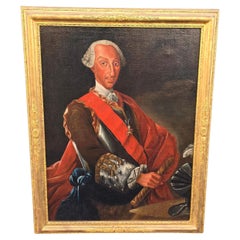
Portrait of Charles of Bourbon as King of Naples.
Located in Madrid, ES
Painted shortly before the proclamation of Ferdinand, then only eight years old, as King of Naples, it depicts them in their study, compass in hand and before a globe. In 1751 he was...
Fruitwood
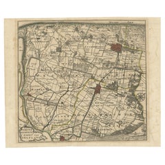
Hand-Colored Map of Delfland by Hendrik de Leth, 1740 – Delft & The Hague
Located in Langweer, NL
The North Sea lies along the upper edge, and a decorative compass rose sits near the lower right, guiding orientation.
Paper
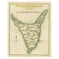
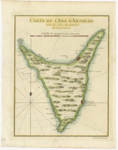
Anjouan Island, Comoros – French Naval Sea Chart by Bellin, c.1765
Located in Langweer, NL
Numerous settlements are identified, including Demani, labeled as “Ville capitale ou Demeure du Roy,” indicating the royal residence and political center of the island at the time. A...
Paper
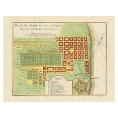
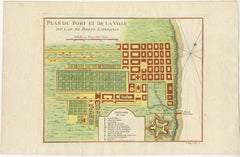
Cape of Good Hope – Fort and City Plan, French Colonial Map, c.1765
Located in Langweer, NL
The shoreline, anchorage, landing points, and compass rose emphasize the Cape’s role as a critical resupply and control point on global trade routes linking Europe, Africa, and Asia.
Paper
$399
20th Century
Located in Cantù, IT
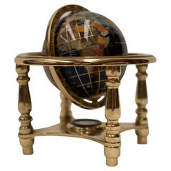
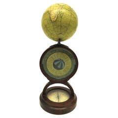
Small globe with compass. Refined and with attention to detail in the slightest detail.
Crystal, Brass
Premium Ships Binnacle by Whyte Thomson & Co’s
Located in Norwell, MA
Polished and lacquered mushroom style hood and compass cowl. Very rare dry card compass on hanging gimbal, all polished to perfection.
Brass
$1,270Sale Price|20% Off
Antique Wood Round Vigneron Coffee Table Restored in the 50s Style, France
Located in Labrit, Landes
Vintage Round Winegrower Coffee Table made from a reclaimed winegrower's tabletop. We made compass legs to give it a 50's look. We took great pleasure in restoring value to this ti...
Wood
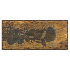
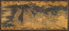
Paravents -A pair of six-fold screens depicting maritime routes in Seto sea, Edo
Located in Brussels, BE
After the introduction of the compass and astrolabe by the Portuguese during the Momoyama period (1573–1615), map making became considerably more accurate.
Gold Leaf
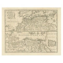
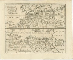
Mediterranean & Barbary Coast – Elegant 18th Century Map by Bowen, c.1747
Located in Langweer, NL
Decorative cartouches, compass roses, and neatline borders add elegance without overpowering the geography.
Paper
Industrial Series Desktop Compendium in The Manner of Andre Guilmet
By Andre Romain Guilmet
Located in Amersham, GB
A very stylish late nineteenth century desk clock with integrated compass, reminiscent of the Industrial series of clocks by Andre Guilmet.
Brass, Bronze, Steel
Negus Brass Ship's Binnacle on Mahogany Stand
Located in Norwell, MA
Hood has side burners to illuminate compass inside. Compass can be viewed through the front glass window.
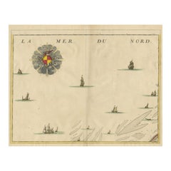
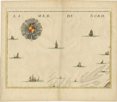
Antique Map of the North Sea and Dunkirk
Located in Langweer, NL
Untitled map of the North Sea, top left a large compass rose, bottom right Dunkirk (Duinkerke / Dunkerque), France.
Paper
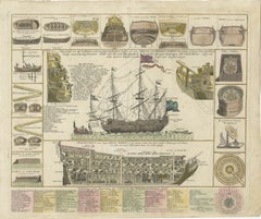
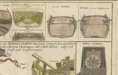
Detailed 1730 Maritime Warship Print with Tools, Rigging, and Ship Cross-Section
Located in Langweer, NL
Surrounding the main illustration are 17 diagrams depicting smaller boats, shipbuilding tools, and essential navigational instruments such as a compass and a "quinoctial compass." Th...
Paper
$16,906Sale Price|20% Off
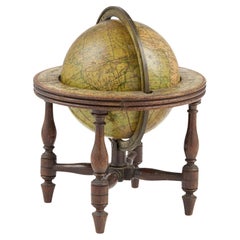
Extremely rare George III Miniature Terrestrial three-inch table Globe
By John & William Cary
Located in ZWIJNDRECHT, NL
Apr. 1. 1791’, pivoted via the poles within a brass meridian ring divided for degrees, and set within engraved paper horizon ring with compass points and degrees in both directions, ...
Hardwood, Paper
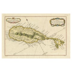
1758 Map of Saint Kitts – St. Christophe, Antique French Engraving
Located in Langweer, NL
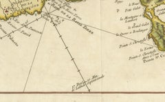
. * Decorative title cartouche upper right and scale of “lieues communes de France” cartouche top left. * Compass roses and rhumb lines radiating from the anchor points, typical of 1...
Paper
GIA Certified Antique 5.19 Carats Old European Cut Diamond Engagement Ring
Located in New York, NY
A gorgeous antique engagement ring, showcasing a solitaire 5.19 carats old European cut diamond certified by GIA as N color and VS1 clarity, set with a unique compass basket setting....
Diamond, Platinum
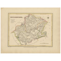
Old Map of Montgomeryshire by 1844 – Welshpool Llanidloes Newtown Machynlleth
Located in Langweer, NL
The hand-colored borders mark the administrative divisions, and a decorative compass rose and union reference chart are included.
Paper
$1,400 / set
Pair of Mixed Wood Tea and Coffee Vessels
Located in Greenwich, CT
Good pair of late 19th Century English or Scottish mixed wood treen coffee and tea containers, having compass star inlaid turned lids over turned bodies of mixed mahogany and birch s...
Birch, Mahogany
Arts and Crafts Circular Copper Mirror
Located in Greenwich, CT
A round mirror in the style of Libertys, in hammered copper and featuring four blue cabuchons set in copper mounts at the compass points. Original beveled circular plate mirror glass.
Copper
Old Map of Radnorshire 1844 – Presteigne Rhayader Knighton Llandrindod Wells
Located in Langweer, NL
Hand-colored borders outline the county’s administrative divisions, and the map includes topographical shading, roads, rivers, and a decorative compass rose. A union reference key is...
Paper
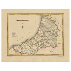
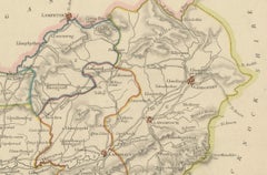
Old Map of Cardiganshire by Lewis 1844 – Aberystwyth Cardigan Tregaron Lampeter
Located in Langweer, NL
County borders are hand-colored and the map includes a decorative compass rose and a reference to the seven administrative unions.
Paper
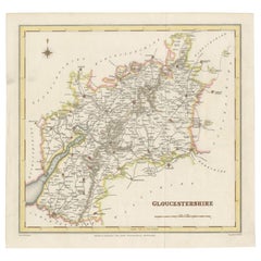
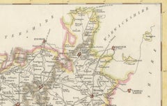
Old Map of Gloucestershire by Samuel Lewis 1844 – Gloucester, Cheltenham, Bristo
Located in Langweer, NL
The map also shows neighboring counties including Herefordshire, Somerset, Wiltshire, and Oxfordshire. A decorative compass rose completes the elegant composition. Condition: The ...
Paper
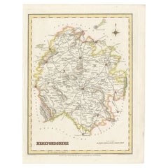
Old Map of Herefordshire 1844 – Hereford Leominster Ross-on-Wye Kington Bromyard
Located in Langweer, NL
Hand-colored borders outline the county and a decorative compass rose enhances its historical charm. Condition: The map is in good antique condition with light even toning and wid...
Paper
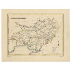
Map of Carmarthenshire 1844 – Carmarthen Llandeilo Llanelli Laugharne Llandovery
Located in Langweer, NL
The county's roads, rivers, and hilly terrain are finely engraved and shaded, while original hand coloring outlines the administrative divisions. The map includes a compass rose and ...
Paper
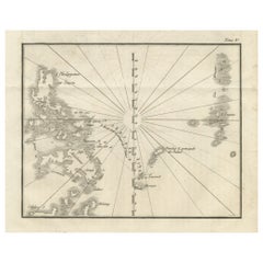
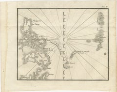
Map of the Philippines and Palau Islands – Antique French Engraving, c.1790
Located in Langweer, NL
Radiating rhumb lines converge on a central compass point, emphasizing the chart’s navigational purpose.
Paper
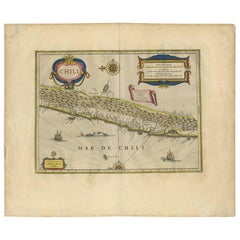
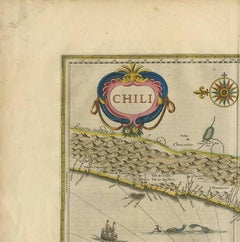
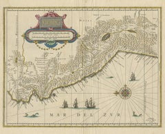
Antique Hand-Colored Map of Chili by Willem Blaeu, 1658
By Willem Blaeu
Located in Langweer, NL
The map is oriented with north to the left – noted by the two bold compass roses. Topographical features are shown and waterways identified.
Paper
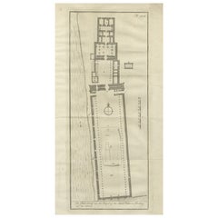
Temple of Philae on the Island of Isis – Ancient Egyptian Plan, c.1710
Located in Langweer, NL
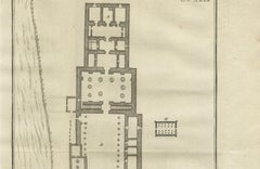
The engraving is adorned with a compass rose and a bar scale (in feet), helping situate the temple's orientation and dimensions.
Paper
Amazing Chest, Italy, late 16th century
Located in Madrid, ES
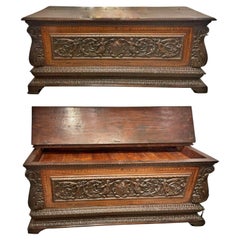
Sides framed by geometric wooden inlays. Front with compass opening. Upper surface and front opening not relevant.
Wood
Old Map of Carnarvonshire 1844 – Caernarfon Bangor Pwllheli Beaumaris Bay
Located in Langweer, NL
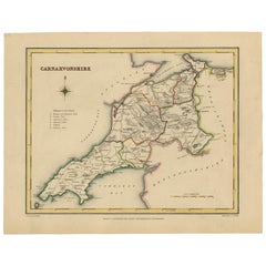
The map shows shaded terrain, rivers, and coastal outlines, with hand-colored borders dividing the county’s various unions. A decorative compass rose and a reference key add historic...
Paper
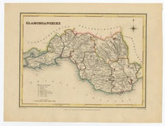
Old Map of Glamorganshire by Lewis 1844 – Swansea Cardiff Merthyr Tydfil Neath
Located in Langweer, NL
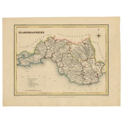
The map features original hand coloring that outlines the county borders and includes shaded topographical elements to show the landscape. A decorative compass rose and a reference t...
Paper
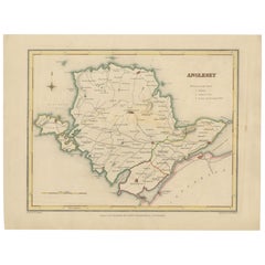
Old Map of Anglesey 1844 – Beaumaris Holyhead Llanerchymedd Amlwch Llangefni
Located in Langweer, NL
County borders are hand-colored and a decorative compass rose enhances the visual appeal. A reference to the administrative unions adds historical context.
Paper
Antique Sapphire & Enamel Ring of 18k Gold, Circa 1910
Located in Lewisburg, PA
Adding to its refinement, two tiny old-cut diamonds glisten at the ring’s compass points, imparting just the right touch of sparkle and balance.
Diamond, Sapphire, 18k Gold, Enamel
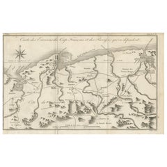
Antique Map of the Environs of Cap-Français, Saint-Domingue, c.1760
Located in Langweer, NL
Fortifications, such as Fort Dauphin, are also indicated. A large compass rose in the upper left provides orientation, and the scale is given in common French leagues.
Paper
Antique Map of the Amazon River – Maragnon or River of the Amazons, c.1760
Located in Langweer, NL
Settlements such as Quito, Lima, Truxillo, and Cuzco are labeled, reflecting the colonial centers of Spanish South America at the time. A large compass rose decorates the lower left...
Paper
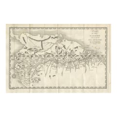
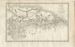
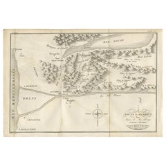
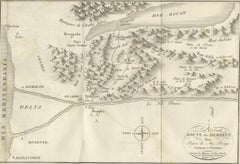
Antique Map of the Route of the Hebrews – Egypt to the Red Sea, 1720
Located in Langweer, NL
The engraving also includes a decorative title cartouche in the lower right and a simple compass rose orienting the map north-south. Marked “Tome 3, N° 4” and engraved by Porlier (P...
Paper
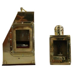
Antique Yacht Binnacle With Verdigris Finnish
Located in Norwell, MA
Oval viewing port exposes the gimbaled compass marked with makers name of a "Lietz of San Francisco" with serial number "15332".
Brass
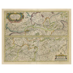
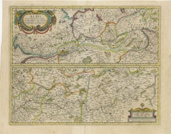
Antique Map of the of the Course of the Albis River 'or Elbe River'
By Johannes Janssonius
Located in Langweer, NL
Includes two cartouches and compass rose. Published by J. Janssonius, circa 1640.
Paper
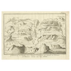
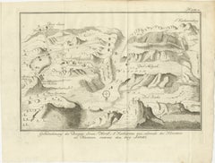
Mount Sinai & St. Catherine's – Antique Map of the Sinai Monasteries, 1776
Located in Langweer, NL
Katharina-berg*, the highest peak in Egypt * *Dal Raha* and *Dal Melgah*, surrounding valleys * *Berg Horeb* and *Mosesberg*, biblical landmarks * Various small structures denoting *...
Paper
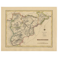
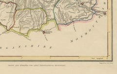
Old Map of Merionethshire by Lewis, 1844: Barmouth, Bala, Harlech, Dolgelley
Located in Langweer, NL
County borders are highlighted in original color, and a decorative compass rose enhances the classic design. A reference to the county divisions or unions is included.
Paper
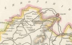
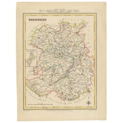
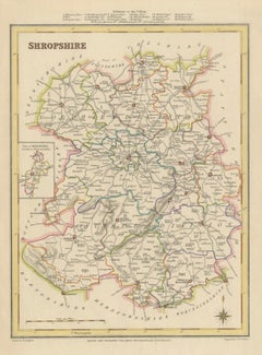
Map of Shropshire, 1844: Telford, Shrewsbury, Oswestry, Bridgnorth & Wellington
Located in Langweer, NL
It is finely drawn and engraved, with a decorative compass rose and a reference to the various hundreds (administrative divisions) at the top.
Paper
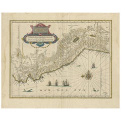
Antique Map of Peru in South America by Blaeu, circa 1645
Located in Langweer, NL
Original antique map of Peru. With cartouche, compass rose, ships and two sea-monsters. Published by W.
Paper
Thaxter of Boston Yacht Binnacle
By Samuel Thaxter
Located in Norwell, MA
Solid brass yacht binnacle with highly polished case and compass, sidelight, and carry ring. Maker is Samuel Thaxter of Boston.
Brass
$926Sale Price|20% Off
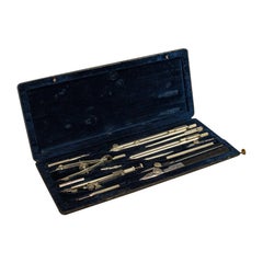
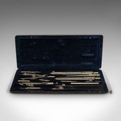
Antique Technical Drawing Set, German, Architect, Cartography, Wichmann
Located in Hele, Devon, GB
Quality, 14-piece instrument set Displays a desirable aged patina Silver nickel tools with fine detail and light tones Presented within a leather textured carry case — some wear c...
Nickel
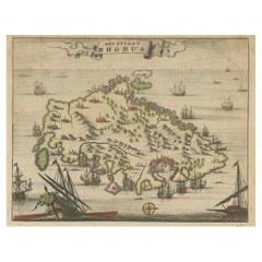
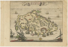
1687 Engraved View of Rhodes by O. Dapper – Hand-Colored Island of Rhodus
Located in Langweer, NL
The charming ribbon-style title cartouche and compass rose further enrich the aesthetic appeal.
Paper
Pair of Superb French Louis XVI Style Silvered Bronze & Antiqued Mirrored Tables
Located in New York, NY
The mirrored surface is etched with a central compass rose enclosed in a geometric border. Below the top, the frieze is fitted with mirrored panels framed in silvered bronze, decorat...
Bronze
Holland Circle by Baumann and Kinzelbach
Located in New Orleans, LA
Baumann and Kinzelbach were based in Stuttgart, Germany, and in addition to crafting surveying instruments and compasses, also created a 2-foot tall "comet seeker" used at the Gotha ...
Bronze
H. Hughes & Son Ship Binnacle Table Lamp in Patinated Brass
Located in Meer, VAN
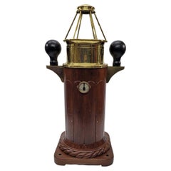
Originally this was a ship’s binnacle - used to house a compass - but after its long working life this binnacle (or rather the top part) was transformed in to a very desirable table ...
Brass
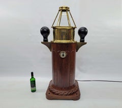
English Brass Yacht Binnacle Mounted on Mahogany Rope Base, Southampton. C. 1870
Located in Charleston, SC
Binnacle is fitted with an interior gimballed compass that remains horizontal and level when the vessel pitches and rolls at sea.
Brass
$17,500
Rare Skylight Yacht Binnacle
Located in Norwell, MA
The six-sided Skylight top houses. A gimballed Compass. Iron compensating balls are mounted to brackets.
Brass
Giant Rouge Marble Carriage Clock
By A.D. Mougin
Located in Amersham, GB
Mougin. on th etop of the clock a second dial housing a mercury thermometer and compass with fahrenheit and reaumur scales. Mougin was a major french clockmaker from the mid ninetee...
Griotte Marble, Ormolu
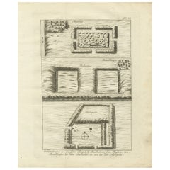
Ancient Temple and Ruin Plans – Egypt, Baalbek, Bubastus, Heliopolis 1776
Located in Langweer, NL
The bottom portion features a plan of Heliopolis, the ancient city of the sun, including a central enclosure, directional compass, and structural remnants. These plans are found in ...
Paper
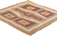
Antique American Southwest Modern Rug with Desert Boho Style
Located in Dallas, TX
At its core, the composition is anchored by a commanding stepped medallion, whose central bar motif reaches outward like a stylized mesa or ceremonial compass. Surrounding this motif...
Wool
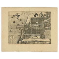
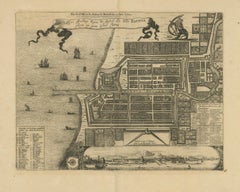
1728 Map of Batavia Castle & City, Java – Van der Aa after 1669
Located in Langweer, NL
The lower part of the sheet features a finely engraved inset panorama view of Batavia seen from the sea, depicting the fortifications, church towers, and surrounding mountains, frame...
Paper
Nineteenth Century Yacht Binnacle
Located in Norwell, MA
Mid nineteenth century gimballed compass by Ritchie of Boston. Varnished mahogany base with thick brass tab feet.
Brass
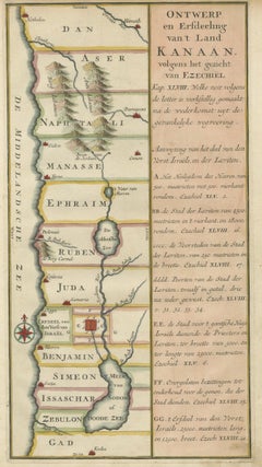
Hand-Colored Dutch Map of Ancient Israel Divided by the Twelve Tribes – c.1730
Located in Langweer, NL
The left portion of the map includes attractive topographical details such as stylized mountain ranges, rivers, and a decorative compass rose. On the right, a wide panel of explanato...
Paper
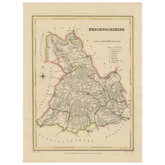
Antique map of Brecknockshire, Wales by Creighton & Walker, c.1831–1840
Located in Langweer, NL
These details reflect the practical and statistical purpose of the map, making it both a decorative piece and an informative record of 19th-century administration. A compass rose at ...
Paper
Brass Binnacle "NEGUS N.Y."
Located in Norwell, MA
The binnacle pedestal holds a gimballed brass compass with engraved bezel from E.S Ritchie Boston and 1886, 1888, and 1890.
Brass
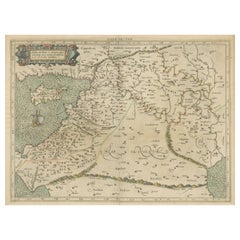
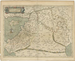
Mercator's Ptolemaic Map of the Holy Land, Cyprus and Syria, circa 1580
Located in Langweer, NL
He is most famous for introducing Mercators Projection, a system which allowed navigators to plot the same constant compass bearing on a flat map.
Paper
$11,423Sale Price|20% Off
An English POCKET GLOBE with dial for time zones
By Newton and Son
Located in ZWIJNDRECHT, NL
Supported in an ungraduated, half-meridian arc, sitting atop a wooden stand with an inset compass, the front dial gives the time zones of various cities, with a rotating volvelle. 9...
Mahogany