J Walker

to
1
92
12
93
43
29
12
10
6
4
4
3
3
2
2
2
2
1
1
1
3
2
1
1
1
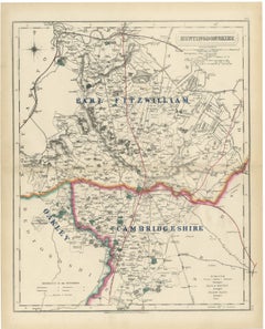
Antique Hobson Fox Hunting Map of Huntingdonshire, Fitzwilliam Hunt, circa 1870

Antique Hobson Fox Hunting Map of Huntingdonshire, Fitzwilliam Hunt, circa 1870

Located in Langweer, NL

Hand coloured to show three hunt countries, this antique fox hunting map of Huntingdonshire was engraved by J. and C. Walker for Hobson's Fox-Hunting Atlas, circa 1870.

Category

Antique Late 19th Century British Victorian Maps

Materials

Paper

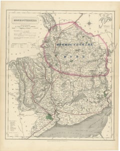
Antique Hobson Fox Hunting Map of Monmouthshire, Monmouthshire Hunt, circa 1870

Antique Hobson Fox Hunting Map of Monmouthshire, Monmouthshire Hunt, circa 1870

Located in Langweer, NL

A single hunt country is coloured by hand across this antique fox hunting map of Monmouthshire, engraved by J. and C. Walker for Hobson's Fox-Hunting Atlas circa 1870.
Category

Antique Late 19th Century British Victorian Maps

Materials

Paper

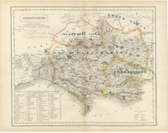
Antique Hobson Fox Hunting Map of Dorsetshire, Blackmore Vale Hunt, circa 1870

Antique Hobson Fox Hunting Map of Dorsetshire, Blackmore Vale Hunt, circa 1870

Located in Langweer, NL

Hand coloured to show four hunt countries, with a fifth lettered at its eastern edge, this antique fox hunting map of Dorsetshire was engraved by J. and C. Walker for Hobson's Fox-Hu...

Category

Antique Late 19th Century British Victorian Maps

Materials

Paper

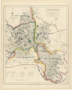
Antique Hobson Fox Hunting Map of Oxfordshire, Heythrop Hunt, circa 1870

Antique Hobson Fox Hunting Map of Oxfordshire, Heythrop Hunt, circa 1870

Located in Langweer, NL

This antique fox hunting map of Oxfordshire, engraved by J. and C. Walker for Hobson's Fox-Hunting Atlas circa 1870, depicts a county shared among seven hunt countries and a patch of...

Category

Antique Late 19th Century British Victorian Maps

Materials

Paper

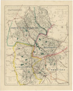
Hobson Fox Hunting Map of Staffordshire, North Staffordshire Hunt, circa 1870

Hobson Fox Hunting Map of Staffordshire, North Staffordshire Hunt, circa 1870

Located in Langweer, NL

This antique fox hunting map of Staffordshire, engraved by J. and C. Walker for Hobson's Fox-Hunting Atlas circa 1870, shows four hunt countries coloured by hand.

Category

Antique Late 19th Century British Victorian Maps

Materials

Paper

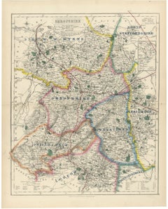
Antique Hobson Fox Hunting Map of Shropshire, Wynnstay Hunt, circa 1870

Antique Hobson Fox Hunting Map of Shropshire, Wynnstay Hunt, circa 1870

Located in Langweer, NL

Six hunt countries are coloured by hand across this antique fox hunting map of Shropshire, engraved by J. and C. Walker for Hobson's Fox-Hunting Atlas circa 1870.

Category

Antique Late 19th Century British Victorian Maps

Materials

Paper

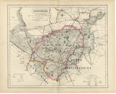
Antique Hobson Fox Hunting Map of Cheshire, Cheshire Hunt, circa 1870

Antique Hobson Fox Hunting Map of Cheshire, Cheshire Hunt, circa 1870

Located in Langweer, NL

From Hobson's Fox-Hunting Atlas comes this antique fox hunting map of Cheshire, engraved by J. and C. Walker circa 1870 and coloured by hand to show three hunts.

Category

Antique Late 19th Century British Victorian Maps

Materials

Paper

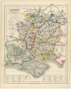
Antique Hobson Map of Hampshire and Isle of Wight, Hambledon Hunt, circa 1870

Antique Hobson Map of Hampshire and Isle of Wight, Hambledon Hunt, circa 1870

Located in Langweer, NL

This antique fox hunting map of Hampshire and the Isle of Wight, engraved by J. and C. Walker for Hobson's Fox-Hunting Atlas circa 1870, depicts one of the most finely subdivided cou...

Category

Antique Late 19th Century British Victorian Maps

Materials

Paper

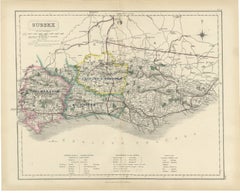
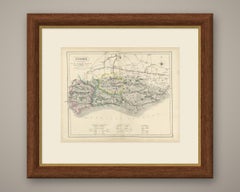
Antique Hobson Fox Hunting Map of Sussex, Crawley and Horsham Hunt, circa 1870

Antique Hobson Fox Hunting Map of Sussex, Crawley and Horsham Hunt, circa 1870

Located in Langweer, NL

This antique fox hunting map of Sussex, engraved by J. and C. Walker for Hobson's Fox-Hunting Atlas circa 1870, depicts a county divided by hand colour among three hunt countries.

Category

Antique Late 19th Century British Victorian Maps

Materials

Paper

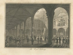
The Courtyard of the Royal Exchange with Merchants, London, 1804

The Courtyard of the Royal Exchange with Merchants, London, 1804

Located in Langweer, NL

The title is engraved in script below the image, and the engraver's credit "J. G. Walker sc." is at lower right. The artist's credit at lower left is printed too faintly to be read i...

Category

Antique Early 19th Century British Prints

Materials

Paper

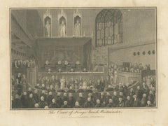
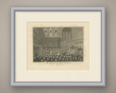
The Court of King's Bench in Westminster Hall in Session, 1804

The Court of King's Bench in Westminster Hall in Session, 1804

Located in Langweer, NL

Pugh del." is at lower left and the engraver's credit "J. G. Walker sc." at lower right. Beneath the title is the imprint "Published Augt 11-1804 by Richard Phillips 71 St Pauls Chur...

Category

Antique Early 19th Century British Prints

Materials

Paper

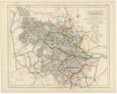
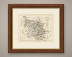
Hobson Fox Hunting Map of Yorkshire West Riding, Bramham Moor Hunt, circa 1870

Hobson Fox Hunting Map of Yorkshire West Riding, Bramham Moor Hunt, circa 1870

Located in Langweer, NL

Engraved by J. and C. Walker for Hobson's Fox-Hunting Atlas circa 1870, this antique fox hunting map of Yorkshire's West Riding shows four hunt countries in hand colour, with a fifth...

Category

Antique Late 19th Century British Victorian Maps

Materials

Paper

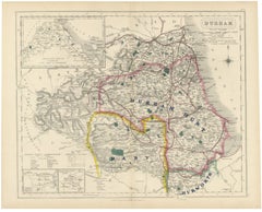
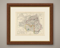
Antique Hobson Fox Hunting Map of Durham, Raby Hunt, circa 1870

Antique Hobson Fox Hunting Map of Durham, Raby Hunt, circa 1870

Located in Langweer, NL

This antique fox hunting map of Durham, engraved by J. and C. Walker for Hobson's Fox-Hunting Atlas circa 1870, shows three hunt countries in hand colour and three unusual inset maps.

Category

Antique Late 19th Century British Victorian Maps

Materials

Paper

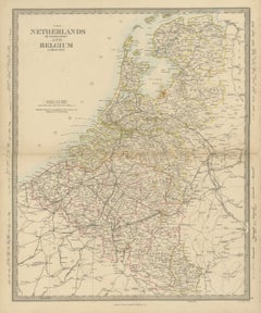
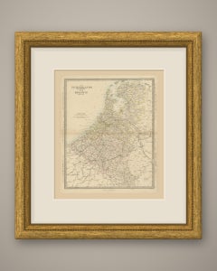
Antique Map of the Netherlands and Belgium, Zuider Zee and Railways, 1858

Antique Map of the Netherlands and Belgium, Zuider Zee and Railways, 1858

Located in Langweer, NL

.", the engraver line "J. & C. Walker Sculpt." is at the lower right, and the plate number "7." is engraved in the right margin.

Category

Antique Mid-19th Century British Maps

Materials

Paper

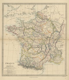
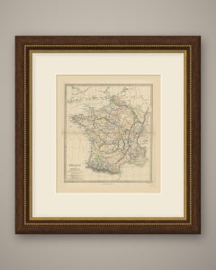
Antique Map of France in Provinces by T. Hewett Key, 1858

Antique Map of France in Provinces by T. Hewett Key, 1858

Located in Langweer, NL

Below the border are the imprint "London, Edward Stanford 6 Charing Cross." and, at right, the engraver's line "J. & C. Walker, Sculpt.", with the plate number "9." outside the l...

Category

Antique Mid-19th Century British Maps

Materials

Paper

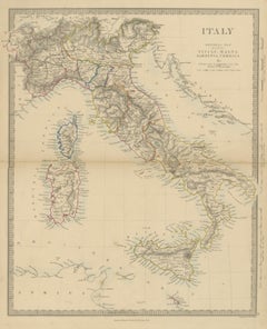
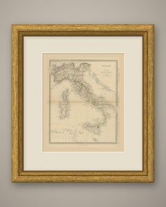
Antique Map of Italy Before Unification with Sicily, Malta and Corsica, 1858

Antique Map of Italy Before Unification with Sicily, Malta and Corsica, 1858

Located in Langweer, NL

Below the border are the imprint "London, Edward Stanford 6 Charing Cross." and, at right, "Engraved by J & C. Walker.", with the plate number "11." outside the lower right corne...

Category

Antique Mid-19th Century British Maps

Materials

Paper

Antique Map of Asia with a Population Table of the Asiatic States, 1858

Antique Map of Asia with a Population Table of the Asiatic States, 1858

Located in Langweer, NL

Charing Cross." runs below the lower border, and "Engraved by J. & C. Walker" sits at the lower right. The plate comes from The Harrow Atlas of Modern Geography, published by Ed...

Category

Antique Mid-19th Century British Maps

Materials

Paper

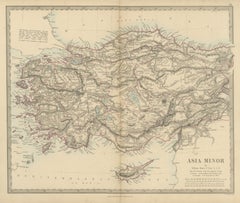
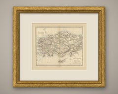
Antique Map of Asia Minor and Cyprus by William Henry F. Plate, 1858

Antique Map of Asia Minor and Cyprus by William Henry F. Plate, 1858

Located in Langweer, NL

The plate number 19 is engraved above the upper right corner, the imprint "London, Edward Stanford 6 Charing Cross." runs below the border, and "J. & C. Walker Sculpt." appears a...

Category

Antique Mid-19th Century British Maps

Materials

Paper

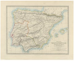
Antique Map of Spain and Portugal by Philip Smith, Balearic Islands, 1858

Antique Map of Spain and Portugal by Philip Smith, Balearic Islands, 1858

Located in Langweer, NL

Below the border are the imprint "London, Edward Stanford 6 Charing Cross." and the engraver's line "J. & C. Walker. Sculpt.", with the plate number "12." above the upper right c...

Category

Antique Mid-19th Century British Maps

Materials

Paper

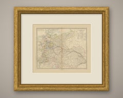
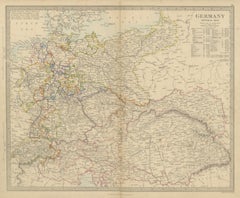
Antique Map of Germany and the Austrian Empire with Population Table, 1858

Antique Map of Germany and the Austrian Empire with Population Table, 1858

Located in Langweer, NL

Below the border are the imprint "London, Edward Stanford 6 Charing Cross." and "Engraved by J. & C. Walker", with the plate number "13." above the upper right corner.

Category

Antique Mid-19th Century British Maps

Materials

Paper

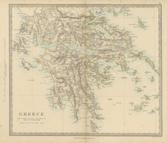
Antique Map of Greece with the Morea, Negropont and Kephalonia, 1858

Antique Map of Greece with the Morea, Negropont and Kephalonia, 1858

Located in Langweer, NL

The plate number 17 is engraved above the upper right corner, the imprint "London, Edward Stanford, 6, Charing Cross." runs below the lower border, and the line "Engraved by J. &...

Category

Antique Mid-19th Century British Maps

Materials

Paper

Vintage Alloy Casting Reel, Wallace Watson Patent

Vintage Alloy Casting Reel, Wallace Watson Patent

Located in Oxfordshire, GB

The back plate marked 'Wallace Watson Patent No.' and 'J.J.S. Walker. Bampton & Co., Makers, Alnwick'.

Category

Early 20th Century English Sports Equipment and Memorabilia

Materials

Brass

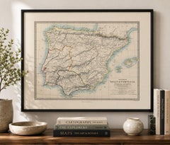
Antique Classical Map of Spain & Portugal, Hispania Iberia, c.1850

Antique Classical Map of Spain & Portugal, Hispania Iberia, c.1850

Located in Langweer, NL

Technique: Steel engraving with original outline hand color Maker: Thomas Letts after J. & C. Walker, London, circa 1850

Category

Antique Mid-19th Century British Maps

Materials

Paper

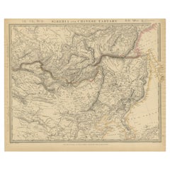
Antique Map of the region of Siberia, Mongolia and Manchuria

Antique Map of the region of Siberia, Mongolia and Manchuria

Located in Langweer, NL

Detailed antique map of the region of Siberia, Mongolia and Manchuria. Engraved by J. & C. Walker. Published 1838.

Category

Antique Mid-19th Century Maps

Materials

Paper

Antique Set of 24 Sheffield Sterling Silver Dessert Forks and Knives

Antique Set of 24 Sheffield Sterling Silver Dessert Forks and Knives

Located in Toronto, ON

Each piece is hallmarked for sterling silver and bears makers marks: J.E.B (Walker and Hall, Sheffield) Each knife measures: 7.5" L x 0.75" W x 0.315" D Each fork measures: 6" L x 0....

Category

Early 20th Century English Sterling Silver

Materials

Silver Plate, Sterling Silver

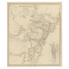
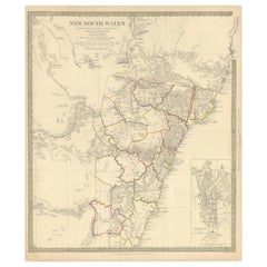
Detailed Map of New South Wales, Australia from 1833 by SDUK

Detailed Map of New South Wales, Australia from 1833 by SDUK

Located in Langweer, NL

An inset highlights Sydney, showcasing key landmarks such as bathhouses, the botanical garden, and the Albion Brewery. Engraved by J. & C. Walker, the map measures 13.7 inches in w...

Category

Antique 1830s Maps

Materials

Paper

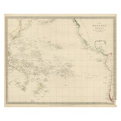
Antique Map of Australasia, New Zealand, Polynesia & the Pacific Ocean, 1840

Antique Map of Australasia, New Zealand, Polynesia & the Pacific Ocean, 1840

Located in Langweer, NL

Artists and Engravers: Published by the Society for the Diffusion of Useful Knowledge, 1840. Engraved by J. & C. Walker. Condition: Good, general age-related toning.

Category

Antique 1840s Maps

Materials

Abalone, Paper

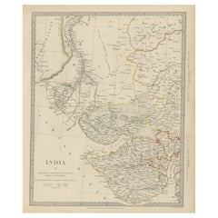
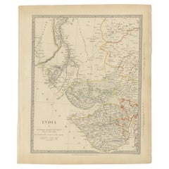
Antique Map of the Region of Gujarat and Cutch in India, 1833

Antique Map of the Region of Gujarat and Cutch in India, 1833

Located in Langweer, NL

Artists and Engravers: Engraved by J. & C. Walker. Published under the superintendence of the Society for the Diffusion of Useful Knowledge.

Category

Antique 19th Century Maps

Materials

Paper

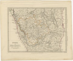
Old Steel Engraved Map of the Western Part of the Madras Presidency, 1831

Old Steel Engraved Map of the Western Part of the Madras Presidency, 1831

Located in Langweer, NL

Artists and Engravers: Engraved by J. & C. Walker. Published under the superintendence of the Society for the Diffusion of Useful Knowledge.

Category

Antique 1830s Maps

Materials

Paper

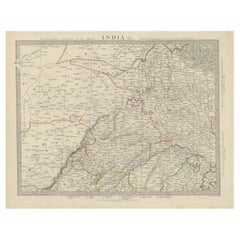
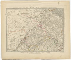
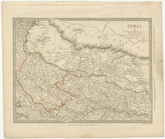
Antique Map of the Region of Delhi in India, 1833

Antique Map of the Region of Delhi in India, 1833

Located in Langweer, NL

Artists and Engravers: Engraved by J. & C. Walker. Published under the superintendence of the Society for the Diffusion of Useful Knowledge.

Category

Antique 19th Century Maps

Materials

Paper

1844 Map "Russia in Eurpoe, Part II to Part VIII", 7 Maps Ric.r023

1844 Map "Russia in Eurpoe, Part II to Part VIII", 7 Maps Ric.r023

Located in Norton, MA

Many of the maps were actually drawn by Beaufort, who at the time was the Hydrographer to the Royal Navy, and all were closely supervised by him. J. & C. Walker worked closely wi...

Category

Antique 19th Century Unknown Maps

Materials

Paper

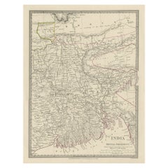
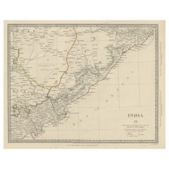
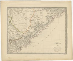
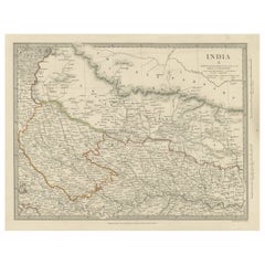
Interesting Detailed Antique Map of Eastern India, 1832

Interesting Detailed Antique Map of Eastern India, 1832

Located in Langweer, NL

Artists and Engravers: Engraved by J. & C. Walker. Published under the superintendence of the Society for the Diffusion of Useful Knowledge.

Category

Antique 19th Century British Maps

Materials

Paper

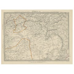
Detailed Antique Map of the Region of Malwa in India, 1833

Detailed Antique Map of the Region of Malwa in India, 1833

Located in Langweer, NL

Artists and Engravers: Engraved by J. & C. Walker. Published under the superintendence of the Society for the Diffusion of Useful Knowledge.

Category

Antique 19th Century Maps

Materials

Paper

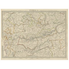
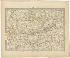
Antique Map of the Region of Berar and Rewah in India, 1832

Antique Map of the Region of Berar and Rewah in India, 1832

Located in Langweer, NL

Artists and Engravers: Engraved by J. & C. Walker. Published under the superintendence of the Society for the Diffusion of Useful Knowledge.

Category

Antique 19th Century Maps

Materials

Paper

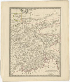
Original Antique Map of Part of the Bahar Region (India), 1834

Original Antique Map of Part of the Bahar Region (India), 1834

Located in Langweer, NL

Artists and Engravers: Engraved by J. & C. Walker. Published under the superintendence of the Society for the Diffusion of Useful Knowledge.

Category

Antique 19th Century Maps

Materials

Paper

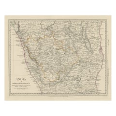
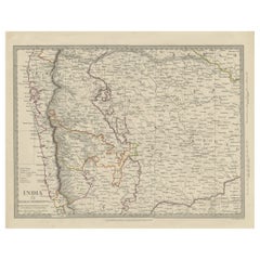
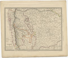
Antique Map of Part of the Bombay Presidency in India, 1831

Antique Map of Part of the Bombay Presidency in India, 1831

Located in Langweer, NL

Artists and Engravers: Engraved by J. & C. Walker. Published under the superintendence of the Society for the Diffusion of Useful Knowledge.

Category

Antique 19th Century British Maps

Materials

Paper

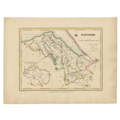
Antique Map of Flintshire in Wales, United Kingdom, c.1850

Antique Map of Flintshire in Wales, United Kingdom, c.1850

Located in Langweer, NL

Artists and Engravers: Engraved by J. & C. Walker. Condition: Very good, general age-related toning.

Category

Antique 19th Century Maps

Materials

Paper

Large Antique Chart of The White Sea, Russa 1854

Large Antique Chart of The White Sea, Russa 1854

Located in Langweer, NL

Artists and Engravers: Engraved by J. & C. Walker. Published according to Act of Parliament at the Hydrographic Office of the Admiralty.

Category

Antique 19th Century Maps

Materials

Paper

  • 1
Get Updated with New Arrivals
Save "J Walker", and we’ll notify you when there are new listings in this category.

J Walker For Sale on 1stDibs

Find the exact j walker you’re shopping for in the variety available on 1stDibs. There are many abstract, contemporary and Pop Art versions of these works for sale. You’re likely to find the perfect j walker among the distinctive items we have available, which includes versions made as long ago as the 18th Century as well as those made as recently as the 21st Century. When looking for the right j walker for your space, you can search on 1stDibs by color — popular works were created in bold and neutral palettes with elements of gray, black, beige and red. Creating a j walker has been a part of the legacy of many artists, but those crafted by Raymond Hendler, Ushio Shinohara, Jacob Collins, David Rathman and Doug Fogelson are consistently popular. Artworks like these of any era or style can make for thoughtful decor in any space, but a selection from our variety of those made in paint, fabric and canvas can add an especially memorable touch.

How Much is a J Walker?

A j walker can differ in price owing to various characteristics — the average selling price for items in our inventory is $2,800, while the lowest priced sells for $50 and the highest can go for as much as $80,000.