
Spanish Colonial Maps

SPANISH COLONIAL STYLE

After the conquest of Mexico in 1521 and the Philippines in 1565, Spain dictated a global culture. The colonization of territories in the Americas, Western Europe, Africa, Oceania and the Pacific imposed the values of Spain, including Catholicism, while the extraction of resources reinforced the empire’s wealth and power. Unlike many styles that came out of European colonialism, such as British Colonial, Spanish Colonial furniture and architecture frequently mixed local heritage with the artistic traditions of Spain.

Spanish Colonial furniture was informed by the shifting styles of Europe as well as Indigenous culture. There were Inca tapestries depicting Spanish coats of arms and Baroque chairs adorned with tropical flora. The butaca, a low easy chair popular in the Caribbean, was inspired by Rococo’s curving forms and the shape of precolonial seating. In New Mexico, Pueblo artisans carved chests with patterns reminiscent of Anasazi art.

Even within the homes of the wealthy, furniture was usually restricted to necessities like benches, desks, cupboards and chests. These were often ornately designed and especially important for storing prized goods like textiles. Spanish Colonial houses were built with adobe and clay and tended to be minimally decorated, so the style’s heavily carved wooden furniture pieces stood out against a home’s white stucco walls.

The Spanish Colonial period mostly came to an end after the territories achieved independence from Spain. However, its aesthetics continued to influence Southwestern style and Spanish Colonial Revival style after Spanish Colonial style was used extensively at San Diego’s 1915 Panama-California Exposition.

Find a collection of antique Spanish Colonial chairs, tables, bedroom furniture and other furniture on 1stDibs.

to
6
6
74
35
18
14
9
6
5
4
4
3
1
1
3
3
6
6
6
1
3
3
2
1
1
6
6
6
1
Style: Spanish Colonial
Mexico City by Braun & Hogenberg c. 1590
Located in Stamford, CT
Mexico by Braun & Hogenberg c. 1590
Category

Mid-19th Century European Antique Spanish Colonial Maps

Materials

Glass, Wood, Paper

1705 Golfe de Mexico and Florida Framed Map
Located in Stamford, CT
Framed map of Mexico & Florida circa 1705, Paris. Small map with Mexico and the Gulf Coast. Inset text indicating Panama, Acapulco, Mexico City and the Mississippi. Extends North to ...
Category

Early 1700s French Antique Spanish Colonial Maps

Materials

Glass, Wood, Paper

1826 Antigo Impero Messicano Mexico Hand Colored Framed Map
Located in Stamford, CT
1826 Antigo Impero Messicano Mexico Hand Colored Framed Map. As found black wood frame.
Category

1820s Mexican Antique Spanish Colonial Maps

Materials

Glass, Wood, Paper

1608 Hispaniae Novae Sive Magnae Vera Descriptio Framed Mexico Map
Located in Stamford, CT
1608 Hispaniae Novae Sive Magnae Vera Descriptio Framed Mexico Map. As found custom black wooden frame/ matting. This map is based on the work of Abraham Ortelius as is an example o...
Category

Early 1600s Mexican Antique Spanish Colonial Maps

Materials

Glass, Wood, Paper

Framed Mercator Hondius Hispania Nova Atlas Minor Map
Located in Stamford, CT
Framed colored example of this decorative and important minature map. Newly framed in brown wood frame with gold trim. Mercator Hondius “Atlas Minor” pu...
Category

17th Century Dutch Antique Spanish Colonial Maps

Materials

Glass, Wood, Paper

Framed 1820s Hand Colored Map of the United States
Located in Stamford, CT
Framed 1820s hand colored map photos of North America and South America. As found framed in giltwood frame.
Category

1820s American Antique Spanish Colonial Maps

Materials

Giltwood, Paper, Glass

Related Items
Small Map of the United States, circa 1870
Located in Langweer, NL
Antique map titled 'Amérique septe. Physique'. Small map of the United States. lithographed by C. Callewaert brothers in Brussels circa 1870.
Category

Mid-19th Century Belgian Antique Spanish Colonial Maps

Materials

Paper

Small Map of the United States, circa 1870
$89
H 6.82 in W 7.37 in D 0.02 in
Antique Map of California, Utah, Nevada, Colorado, New Mexico & Arizona '1872'
Located in Langweer, NL
Antique map titled 'Johnson's California (..)'. Original map of California, Utah, Nevada, Colorado, New Mexico and Arizona. This map originates from ...
Category

Late 19th Century Antique Spanish Colonial Maps

Materials

Paper

Antique Map of California, Utah, Nevada, Colorado, New Mexico & Arizona '1872'
$238 Sale Price
20% Off
H 18.12 in W 26.38 in D 0.02 in
Antique Map of the City of Visby 'Sweden' by F. Hogenberg, 1598
Located in Langweer, NL
This is a wonderful bird's-eye plan/view of the oldest city in Sweden. Visby, the largest city on the island of Gotland was an important Viking city and the main centre of the Hanseatic League...
Category

16th Century Antique Spanish Colonial Maps

Materials

Paper

Antique Map of the City of Visby 'Sweden' by F. Hogenberg, 1598
$2,340 Sale Price
20% Off
H 23.04 in W 27.96 in D 0.99 in
Braun PC3 Record Player by Wilhelm Wagenfeld and Dieter Rams
Located in Vienna, AT
Record player Braun Pc3 Design in Germany in 1950s by Wilhelm Wagenfeld, Dieter Rams for Max Braun AG, Frankfurt a. M., Fully restored by a Brun specialist.
Category

1950s German Vintage Spanish Colonial Maps

Materials

Steel

Maine County Map – Johnson, Hand-Colored, USA c.1864
Located in Langweer, NL
Johnson’s Maine Map, USA Published c.1864 – Hand-Colored County Map This is a finely engraved and hand-colored map titled Johnson’s Maine, published by Johnson and Ward in New York ...
Category

Mid-19th Century American Antique Spanish Colonial Maps

Materials

Paper

Antique North America Map, USA, Canada, Mexico, Cartography, Colton, Victorian
Located in Hele, Devon, GB
This is an antique North America map. A USA, framed lithography atlas engraving of the continent by JH Colton, dating to the Victorian period and later, circa 1860. Fascinating, large framed map...
Category

Mid-19th Century American Antique Spanish Colonial Maps

Materials

Paper

Antique Map of The United States of North America, Pacific States, 1882
Located in Langweer, NL
The map is from the same 1882 Blackie Atlas and focuses on the Pacific States of the United States of America during that period. Here are some details and historical context about t...
Category

1880s Antique Spanish Colonial Maps

Materials

Paper

Antique Map of The United States of North America, Pacific States, 1882
$238 Sale Price
20% Off
H 14.97 in W 11.03 in D 0 in
Virgin of Guadalupe Hand Colored Spanish Colonial Drawing - Signed Mexico
Located in Oklahoma City, OK
This is an exquisite vintage depiction of Our Lady of Guadalupe, rendered in delicate hand-painted detail. The piece features soft, vibrant hues that highlight the iconic radiance of...
Category

20th Century Mexican Spanish Colonial Maps

Materials

Paper

BRAUN "RT 20", Tischradio, Dieter Rams
Located in Neuss, NW
Design classic RT 20 by Dieter Rams for BRAUN from 1961. Table radio with veneered wooden corpus in ash and grey lacquered metal front. Made in Germany. The front has been repainted...
Category

1960s German Vintage Spanish Colonial Maps

Materials

Wood

BRAUN "RT 20", Tischradio, Dieter Rams
$3,855
H 10.24 in W 19.69 in D 7.88 in
Antique Map of the United States by Titus '1871'
Located in Langweer, NL
Antique map titled 'The United States of America'. Original antique map of the United States. This map originates from 'Atlas of Prebl...
Category

Late 19th Century Antique Spanish Colonial Maps

Materials

Paper

Antique Map of the United States by Titus '1871'
$764 Sale Price
20% Off
H 16.54 in W 26.78 in D 0.02 in
Antique Map of the United States by Balbi '1847'
Located in Langweer, NL
Antique map titled 'Etats-Unis'. Original antique map of the United States. This map originates from 'Abrégé de Géographie (..)' by Ad...
Category

Mid-19th Century Antique Spanish Colonial Maps

Materials

Paper

Antique Map of the United States by Balbi '1847'
$191 Sale Price
20% Off
H 9.06 in W 11.23 in D 0.02 in
1930s AM Radio Map of US, Canada, Cuba, Mexico – Stations & Frequencies
Located in Langweer, NL
Title: 1930s Lewis Bros. Limited Detailed Radio Station Map of the United States and Canada – AM Stations, Call Signs, Frequencies, Vintage Advertising Detailed Description: This v...
Category

1930s Vintage Spanish Colonial Maps

Materials

Paper

1930s AM Radio Map of US, Canada, Cuba, Mexico – Stations & Frequencies
$945 Sale Price
20% Off
H 27.41 in W 33.51 in D 0 in

Spanish Colonial maps for sale on 1stDibs.

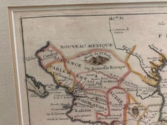
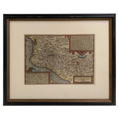
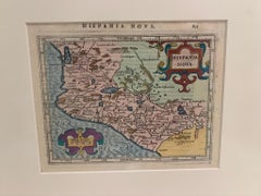
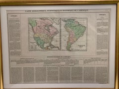
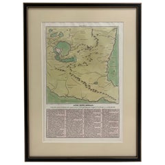
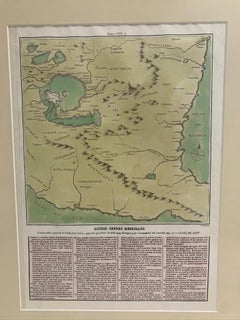
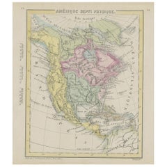
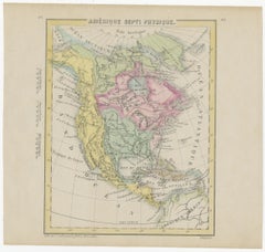
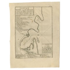
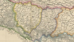
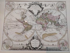
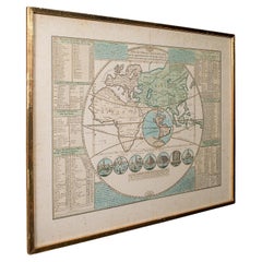
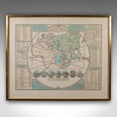
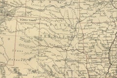
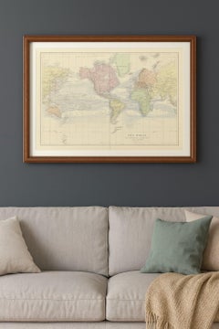
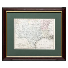
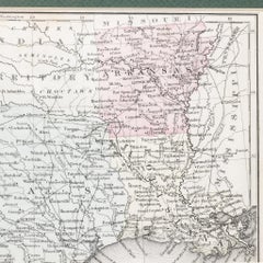
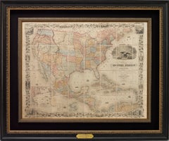
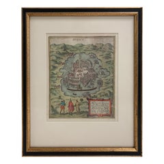
Find a broad range of unique Spanish Colonial maps for sale on 1stDibs. Many of these items were first offered in the 19th Century, but contemporary artisans have continued to produce works inspired by this style. If you’re looking to add vintage maps created in this style to your space, the works available on 1stDibs include more furniture and collectibles and other home furnishings, frequently crafted with glass, paper and other materials. If you’re shopping for used Spanish Colonial maps made in a specific country, there are
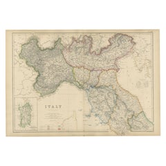
 Europe, France, and Netherlands pieces for sale on 1stDibs. It’s true that these talented designers have at times inspired knockoffs, but our experienced specialists have partnered with only top vetted sellers to offer authentic pieces that come with a buyer protection guarantee. Prices for maps differ depending upon multiple factors, including designer, materials, construction methods, condition and provenance. On 1stDibs, the price for these items starts at $1,250 and tops out at $1,950 while the average work can sell for $1,450.

Recently Viewed

View All