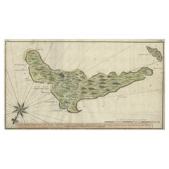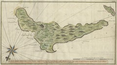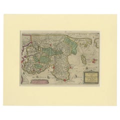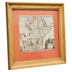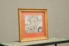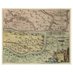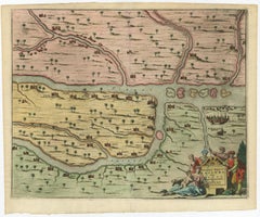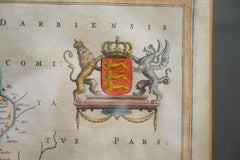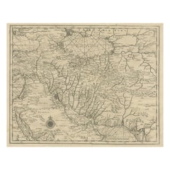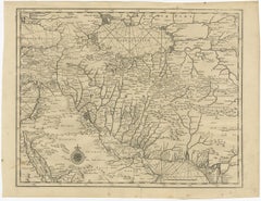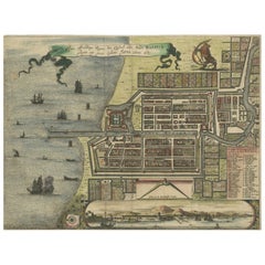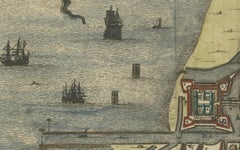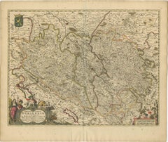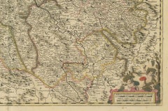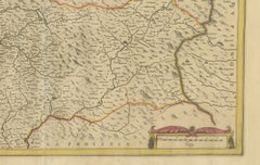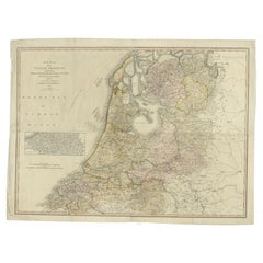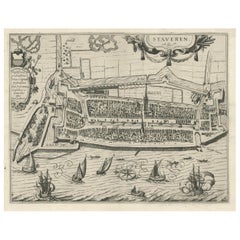
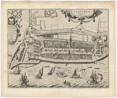
Rare Old Map of the City of Stavoren, Friesland, the Netherlands, 1616
$799Sale Price|20% Off
Rare Old Map of the City of Stavoren, Friesland, the Netherlands, 1616
Located in Langweer, NL
Antique map titled 'Staveren'. Old map of the city of Stavoren, Friesland. This map originates from 'Rerum Frisicarum Historia' by U. Emmius. Artists and Engravers: Nicolaes ...
Category
1610s Rare Antique Maps
Materials
Paper