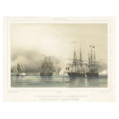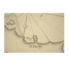
1844 French Antique Nautical Portolano of Golfe De St. Drely by Antoine Roux
By Antoine Roux
Located in Milan, IT
Antique portolano, nautical map of Golfe De St. Drely engraved on a copper plate by Antoine Roux, Marseille France 1844, from his work Recueil des principaux plans des ports et de Ra...
Category
1840s French Antique Antoine Roux Prints
Materials
Paper