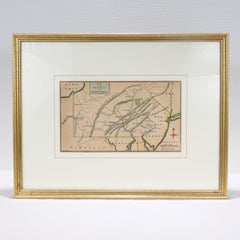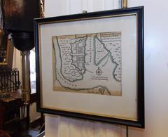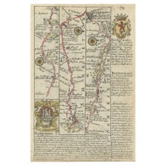
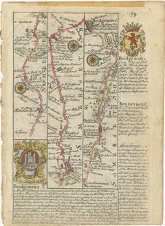
Rare Antique Map of the Route from Maiden Bridge to Dulverton, England, c.1720
By Bowen
Located in Langweer, NL
Antique map titled 'Bridgewater, Bruton'. Double sided road strip map showing the route from Maiden Bridge to Dulverton, via Bruton, Weston Regis, Bridgewater and Dulverton. This map originates from 'Britannia Depicta or Ogilby Improv'd' by J. Owen and E. Bowen. Artists and Engravers: The Owen and Bowen road strip maps were based on the far larger ones done by John Ogilby in the 1670s. Each map was finely engraved by Emanuel Bowen, who was one of the most renowned and prolific map makers of the 18th century. The maps also had the added feature of copius amounts of information, written by John Owen...
Category
18th Century Antique Bowen Furniture
Materials
Paper