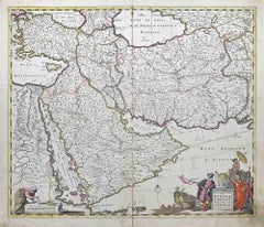
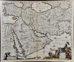
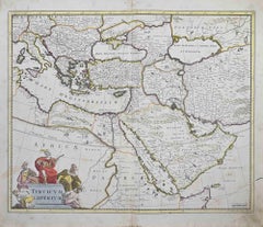
Frederick de WitAccuratissima Totius Asiae Tabula - Etching by Frederick de Wit - 1680 ca, 1680 ca
$1,627
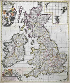
Accuratissima Totius Asiae Tabula - Etching by Frederick de Wit - 1680 ca
By Frederick de Wit
Located in Roma, IT
This double-page etching with contemporary coloring, entitled Accuratissima totius Asiae Tabula, was realized by the cartographer Frederick de Wit for the famous Atlas published in A...
Category
1680s Modern Frederick de Wit Art
Materials
Etching