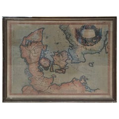
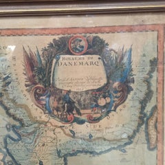
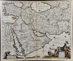
Frederick de Wit Wall Decorations

Dutch, 1630-1706
Frederick De Wit (1629-1706) was an engraver, cartographer and map dealer who ran a prominent and productive printing business in Amsterdam, founded in 1654 and initially called The Three Crabs and later The White Chart. He published his first atlas in 1662. In 1695 he purchased a large collection of the plates of the prestigious Blaeu publishing business. After his death in 1706, his wife Maria continued in the business for four years before selling it at the auction. A majority of the plates were purchased by Pieter Mortier. His thriving and growing business eventually became Covens & Mortier, one of the largest and most successful cartography and printing businesses of the eighteenth century.
to
1
1
2
Height
to
Width
to
2
2
1
1
2
2
2
31
402
294
245
155
Creator: Frederick de Wit
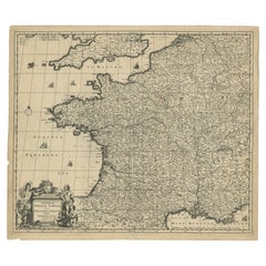
Large Antique Map of France by De Wit, c.1680

Large Antique Map of France by De Wit, c.1680

By Frederick de Wit

Located in Langweer, NL

Antique map titled 'Accuratissima Galliae Tabula vulgo Royaume de France'. Detailed map of France. Shows provinces, cities, rivers etc. Artists and Engravers: Frederick de Wit (1...

Category

17th Century Antique Frederick de Wit Wall Decorations

Materials

Paper

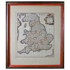
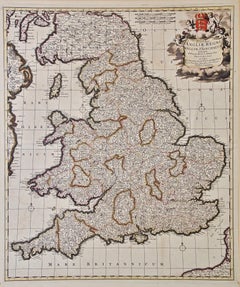
Large 17th Century Hand Colored Map of England and the British Isles by de Wit

Large 17th Century Hand Colored Map of England and the British Isles by de Wit

By Frederick de Wit

Located in Alamo, CA

A large hand colored 17th century map of England and the British Isles by Frederick de Wit entitled "Accuratissima Angliæ Regni et Walliæ Principatus", published in Amsterdam in 1680. It is a highly detailed map of England, Scotland, the Scottish Isles...

Category

Late 17th Century Dutch Antique Frederick de Wit Wall Decorations

Materials

Paper

Related Items
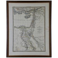
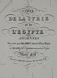
Map of the Holy Land "Carte de la Syrie et de l'Egypte" by Pierre M. Lapie

Map of the Holy Land "Carte de la Syrie et de l'Egypte" by Pierre M. Lapie

By Pierre M. Lapie

Located in Alamo, CA

An early 19th century map of ancient Syria and Egypt entitled "Carte de la Syrie et de l'Egypte anciennes/dressée par M. Lapie, Colonel d'Etat Major, et...

Category

Early 19th Century French Antique Frederick de Wit Wall Decorations

Materials

Paper

Antique Map of Principality of Monaco, Late 19th Century, Paper Print

Antique Map of Principality of Monaco, Late 19th Century, Paper Print

$359Sale Price|62% Off

H 22.84 in W 15.75 in D 0.04 in

Antique Map of Principality of Monaco, Late 19th Century, Paper Print

By Antonio Vallardi Editore

Located in Alessandria, Piemonte

ST/619 - "Old Geographical Atlas of Italy - Topographic map of ex-Principality of Monaco" - ediz Vallardi - Milano - A somewhat special edition ---  

Category

Late 19th Century Italian Other Antique Frederick de Wit Wall Decorations

Materials

Paper

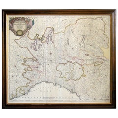
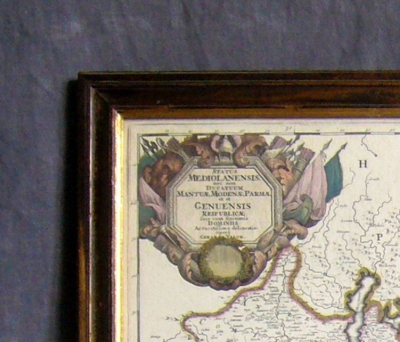
Map of the Republic of Genoa

Map of the Republic of Genoa

$750

H 22.5 in W 25.75 in D 0.75 in

Map of the Republic of Genoa

Located in New York, NY

Framed antique hand-coloured map of the Republic of Genoa including the duchies of Mantua, Modena, and Parma. Europe, late 18th century. Dimension: 25...

Category

Late 18th Century European Antique Frederick de Wit Wall Decorations

Original Antique Map of The World by Thomas Clerk, 1817

Original Antique Map of The World by Thomas Clerk, 1817

$90 / set

H 10.25 in W 8.25 in D 0.07 in

Original Antique Map of The World by Thomas Clerk, 1817

Located in St Annes, Lancashire

Great map of The Eastern and Western Hemispheres On 2 sheets Copper-plate engraving Drawn and engraved by Thomas Clerk, Edinburgh. Published by Mackenzie And Dent, 1817 ...

Category

1810s English Antique Frederick de Wit Wall Decorations

Materials

Paper

Antique 18th Century Map of the Province of Pensilvania 'Pennsylvania State'

Antique 18th Century Map of the Province of Pensilvania 'Pennsylvania State'

Located in Philadelphia, PA

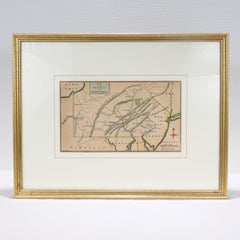
A fine antique of the colony of Pennsylvania. Noted at the top of the sheet as a 'Map of the province of Pensilvania'. This undated and anonymous map is thought to be from the Gentleman's Magazine, London, circa 1775, although the general appearance could date it to the 1760's. The southern boundary reflects the Mason-Dixon survey (1768), the western boundary is placed just west of Pittsburgh, and the northern boundary is not marked. The map has a number of reference points that likely refer to companion text and appear to be connected to boundaries. The western and southern boundaries are marked Q, R, S, for example. A diagonal line runs from the Susquehanna R to the Lake Erie P. A broken line marked by many letters A, B, N, O, etc., appears in the east. There are no latitude or longitude markings, blank verso. Framed in a shaped contemporary gilt wooden frame and matted under a cream colored matte. Bearing an old Graham Arader Gallery...

Category

18th Century British American Colonial Antique Frederick de Wit Wall Decorations
Materials

Paper

Original Antique Map of Ireland- Kerry. C.1840

Original Antique Map of Ireland- Kerry. C.1840

$35

H 6.25 in W 9.5 in D 0.07 in

Original Antique Map of Ireland- Kerry. C.1840

Located in St Annes, Lancashire

Great map of Kerry Steel engraving Drawn under the direction of A.Adlard Published by How and Parsons, C.1840 Unframed.

Category

1840s English Antique Frederick de Wit Wall Decorations

Materials

Paper

Original Antique Map of Ancient Greece- Boeotia, Thebes, 1787

Original Antique Map of Ancient Greece- Boeotia, Thebes, 1787

Located in St Annes, Lancashire

Great map of Ancient Greece. Showing the region of Boeotia, including Thebes Drawn by J.D. Barbie Du Bocage Copper plate engraving by P.F T...

Category

1780s French Other Antique Frederick de Wit Wall Decorations
Materials

Paper

Antique Map of the Saxony Region 'Germany' by F. de Wit, circa 1680

Antique Map of the Saxony Region 'Germany' by F. de Wit, circa 1680

Located in Langweer, NL

A detailed map of a region in eastern Germany. Cartouches depict coat of arms surrounded by cherubs. The map is fully engraved with towns, political boundaries, rivers and forests. P...

Category

Late 17th Century Dutch Antique Frederick de Wit Wall Decorations
Materials

Paper

Antique Map of the Region of Venice, Italy by F. De Wit, circa 1700

Antique Map of the Region of Venice, Italy by F. De Wit, circa 1700

$388Sale Price|44% Off

H 20.79 in W 25.04 in D 0.02 in

Antique Map of the Region of Venice, Italy by F. De Wit, circa 1700

Located in Langweer, NL

Antique map of the Dominion of Venice, extending from Stato di Milano and Genoa to Istria. Including Lake Garda, Venice and Istria.

Category

Early 18th Century Antique Frederick de Wit Wall Decorations
Materials

Paper

Antique Map of Northern Italy by F. de Wit, 1690

Antique Map of Northern Italy by F. de Wit, 1690

$519Sale Price|20% Off

H 20.79 in W 25.2 in D 0.02 in

Antique Map of Northern Italy by F. de Wit, 1690

Located in Langweer, NL

A very decorative map centered on Genua, and including the towns of Milan, Torino, Parma, Cremona, etc. Decorative title cartouche upper right, five putti holding the arms of the reg...

Category

Late 17th Century Antique Frederick de Wit Wall Decorations
Materials

Paper

1844 French Antique Nautical Portolano of Golfe De St. Drely by Antoine Roux

1844 French Antique Nautical Portolano of Golfe De St. Drely by Antoine Roux

By Antoine Roux

Located in Milan, IT

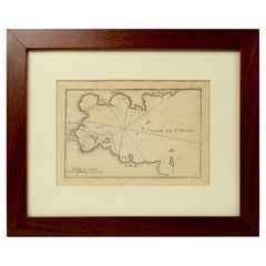
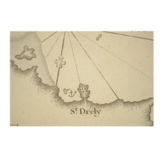
Antique portolano, nautical map of Golfe De St. Drely engraved on a copper plate by Antoine Roux, Marseille France 1844, from his work Recueil des principaux plans des ports et de Ra...

Category

1840s French Antique Frederick de Wit Wall Decorations
Materials

Paper

Previously Available Items
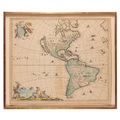
Antique Framed Hand Colored Map of the Americas by Frederick De Wit, circa 1675

Antique Framed Hand Colored Map of the Americas by Frederick De Wit, circa 1675

By Frederick de Wit

Located in Morristown, NJ

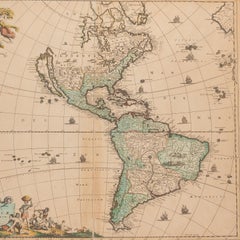
Frederick De Wit (Dutch, 1629-1706), "Novissima et Accuratissima totius Americae Descriptio", hand-colored map engraving of North and South America with California depicted as an island, decorated with images of Native Americans and indigenous flora and fauna, framed under glass, 19.5"h x 23"l (sheet), 22.5"h x 1.75"d x 26"w (frame), From the collection of an NY corporation. A fine example of De Wit’s map of the Americas, first published ca. 1675. This map is fascinating. It was the first Dutch map to include all five Great Lakes; Lac Superieur (Lake Superior), Lac des Puans (Lake Michigan), Mare Dulce (Lake Huron...

Category

1670s Dutch Baroque Antique Frederick de Wit Wall Decorations
Materials

Glass, Wood, Giltwood, Paint, Paper

Germany West of the Rhine: A Hand-colored 18th Century Map by de Wit

Germany West of the Rhine: A Hand-colored 18th Century Map by de Wit

By Frederick de Wit

Located in Alamo, CA

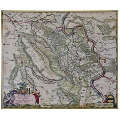
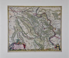
This original 18th century hand-colored map of the county of Moers, Germany entitled "Illustrissimo Celsissmo Principi GUILIELMO HENRICO D.G. Arausionum Principi Domino suo Clementis...

Category

Early 18th Century Dutch Antique Frederick de Wit Wall Decorations

Materials

Paper

Antique Map of Friesland ‘the Netherlands’ by F. De Wit, circa 1730

Antique Map of Friesland ‘the Netherlands’ by F. De Wit, circa 1730

By Frederick de Wit

Located in Langweer, NL

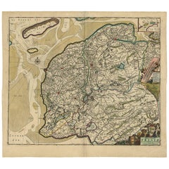
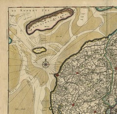
Decorative map of the Dutch province Friesland. With a small inset map of the Wadden islands Vlieland, Terschelling, Ameland and Schiermonnikoog. A very decorative title cartouche wi...

Category

Early 18th Century Antique Frederick de Wit Wall Decorations
Materials

Paper

Frederick De Wit wall decorations for sale on 1stDibs.
Frederick de Wit wall decorations are available for sale on 1stDibs. These distinctive items are frequently made of paper and are designed with extraordinary care. There are many options to choose from in our collection of Frederick de Wit wall decorations, although gray editions of this piece are particularly popular. If you’re looking for additional options, many customers also consider wall decorations by Philip Baldaeus, Isaak Tirion, and Nicolaes Visscher II. Prices for Frederick de Wit wall decorations can differ depending upon size, time period and other attributes — on 1stDibs, these items begin at $701 and can go as high as $1,475, while a piece like these, on average, fetch $1,175.