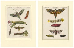
Original Antique Print of Two Sperm Whales by Bertuch, c. 1800
Original Antique Print of Two Sperm Whales by Bertuch, c. 1800
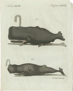
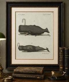
Original antique hand-colored copper engraving depicting two sperm whales, published in Friedrich Justin Bertuch’s celebrated “Bilderbuch für Kinder” around the beginning of the 19th century.
The plate is titled “Fische XXXVIII / Poissons XXXVIII” and presents two different representations of the sperm whale, one of the largest toothed whales in the world.
Both animals are shown in profile with their characteristic massive, almost rectangular heads, narrow toothed lower jaws and relatively small flippers. Jets of water emerge dramatically from the blowholes. The unusual appearance of the animals reflects both their distinctive anatomy and the way whales were understood and represented by European naturalists around 1800.
The sperm whale was of considerable economic importance during this period. It was hunted particularly for spermaceti, the waxy substance contained within its enormous head, as well as for whale oil and ambergris.
These early zoological representations are especially interesting because accurate observation of living whales was extremely difficult. Natural-history illustrators therefore frequently relied upon stranded or captured specimens, descriptions by sailors and whalers, and earlier published illustrations.
The engraving is delicately enhanced with original hand coloring in restrained shades of black, gray and brown and bears the inscription “Jacob Hauer Schmuzer” at lower right.
Friedrich Justin Bertuch (1747–1822) was a German publisher, writer and patron of the arts. His monumental “Bilderbuch für Kinder” (Picture Book for Children) was one of the great illustrated educational encyclopedias of the late 18th and early 19th centuries.
Creator:
Friedrich Justin Bertuch (1747–1822)
Engraver:
Jacob Hauer Schmuzer
Source:
Bilderbuch für Kinder
Plate:
Fische XXXVIII / Poissons XXXVIII
Place of Publication:
Weimar, Germany
Date of Manufacture:
Circa 1800
Period:
Early 19th Century
Style:
Neoclassical – In the Period of
Medium:
Original hand-colored copper engraving on paper
Condition:
Good. Wear consistent with age and use. Light age-related toning and scattered minor spotting and marks. Some marginal wear and a small loss/irregularity at the upper right corner. Original hand coloring remains attractive. Please refer to the photographs for further details of condition.
Please note:
This is an original antique print from circa 1800, not a modern reproduction. The print is sold unframed. Framed images or interior views, if shown, are for presentation and inspiration only.
Keywords:
sperm whale print, antique whale print...
Category
Early 19th Century German Neoclassical Antique Engraved Furniture