Antique Navigation

to
110
387
85
203
189
133
80
80
79
63
62
58
39
37
28
26
26
21
21
14
14
13
13
12
12
10
10
8
6
6
6
6
5
5
4
4
4
4
4
3
3
2
2
2
2
2
2
2
1
1
1
1
9
8
8
7
6
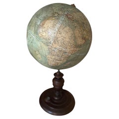
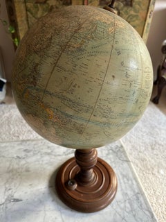
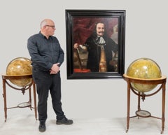
Antique Heymann Globe – Exquisite Cartographic Masterpiece with Compass

Antique Heymann Globe – Exquisite Cartographic Masterpiece with Compass

Located in Hamburg, DE

The base is not only decorative but also functional, incorporating a built-in compass, which would have been an essential tool for navigation enthusiasts of the time. Globes from th...

Category

1890s Belle Époque Antique Navigation

Materials

Glass, Paper

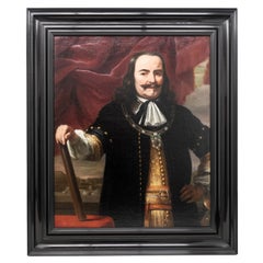
Portrait of Lieutenant Admiral Michiel Adriaensz. de Ruyter by Ferdinand Bol

Portrait of Lieutenant Admiral Michiel Adriaensz. de Ruyter by Ferdinand Bol

By Rembrandt van Rijn

Located in ZWIJNDRECHT, NL

Some objects on the table are related to navigation on the sea, such as a map with the coastline of Flanders and Zeeland.

Category

17th Century Dutch Dutch Colonial Antique Navigation

Materials

Paint

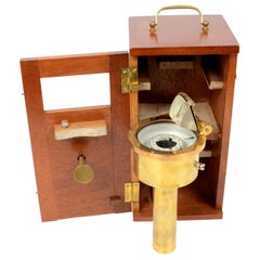
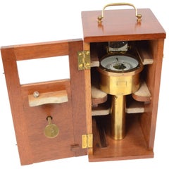
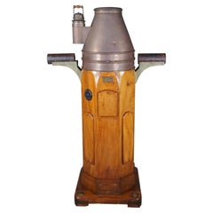
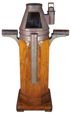
W. Hartmann Antique Oak & Copper Ships Binnacle Nautical Maritime Compass

W. Hartmann Antique Oak & Copper Ships Binnacle Nautical Maritime Compass

By A. Lietz Co.

Located in Dayton, OH

Binnacles are an important navigation tool. They are often in the helm of the ship and allow sailor to maintain the correct course.

Category

Late 19th Century Late Victorian Antique Navigation

Materials

Brass, Copper

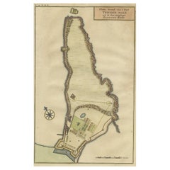
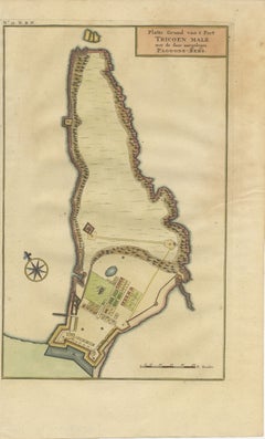
Print of a Dutch VOC Fort on the Peninsula Trincomalee, Ceylon (Sri Lanka), 1726

Print of a Dutch VOC Fort on the Peninsula Trincomalee, Ceylon (Sri Lanka), 1726

Located in Langweer, NL

Notably, it includes essential cartographic elements such as a scale bar and a compass rose, enhancing its navigational utility. Historically, the Dutch maritime ventures in Sri Lan...

Category

1720s Antique Navigation

Materials

Paper

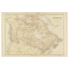
Antique Map of British North America, The Dominion of of Canada, 1882

Antique Map of British North America, The Dominion of of Canada, 1882

Located in Langweer, NL

The map's longitude and latitude markers bordering the edges indicate that it was intended for serious use, possibly for navigation or educational purposes. The detail and scale of t...

Category

1880s Antique Navigation

Materials

Paper
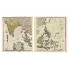
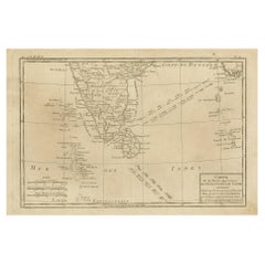
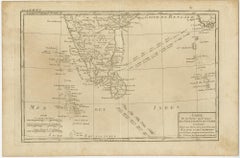
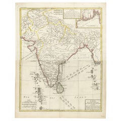
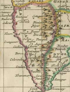
Antique Map of Southern India, Sri Lanka & Maldives with Ocean Currents, 1790

Antique Map of Southern India, Sri Lanka & Maldives with Ocean Currents, 1790

Located in Langweer, NL

The balance between geographic clarity and navigational information makes this map both an important documentary source and an elegant example of Enlightenment-era cartography.

Category

Late 18th Century Antique Navigation

Materials

Paper

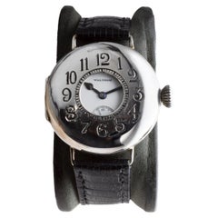
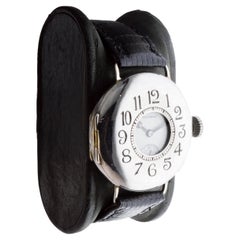
Waltham Sterling Silver Trench Watch circa 1914 Rare P.S. Bartlett Half Hunter

Waltham Sterling Silver Trench Watch circa 1914 Rare P.S. Bartlett Half Hunter

By Waltham

Located in Long Beach, CA

Through WW 1, WW 2 and the Korean war they designed timers, navigational devices, automobiles, aviation and nautical equipment.

Category

1910s American Art Deco Antique Navigation

Materials

Sterling Silver

Nautical Brass Magnetic Compass with Original Box by E. Vion Paris, Early 1900

Nautical Brass Magnetic Compass with Original Box by E. Vion Paris, Early 1900

Located in Milan, IT

The firm Vion, that still works today, was established in 1830 in Paris and it has always manufactured navigation equipment, in particular compasses and marine instruments.

Category

Early 20th Century French Antique Navigation

Materials

Brass

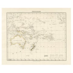
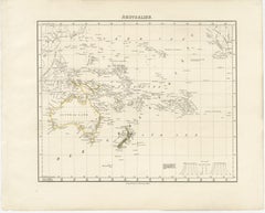
Mid-19th Century Map of Australasia by Carl Flemming - 1855

Mid-19th Century Map of Australasia by Carl Flemming - 1855

Located in Langweer, NL

The map's historical value is notable, as it would have been used for educational purposes and by those with interests in geography, navigation, and colonial activities during that t...

Category

1850s Antique Navigation

Materials

Paper

Star Island, Isles of Shoals

Star Island, Isles of Shoals

Located in Bryn Mawr, PA

He also wrote the book Practical Navigation, which was a standard textbook for the United States Navy for many years.

Category

1880s Realist Antique Navigation

Materials

Canvas, Oil

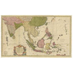
Rare 18th-Century Hand-Colored Map of Southeast Asia and the East Indies, 1748

Rare 18th-Century Hand-Colored Map of Southeast Asia and the East Indies, 1748

Located in Langweer, NL

Rhumb lines radiating from key points on the map were used for navigational purposes, reflecting the maritime focus of European powers in this era.

Category

1740s Antique Navigation

Materials

Paper

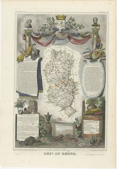
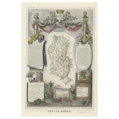
Map of Rhône: Culture and Commerce in Lyon's Silk and Wine Legacy, 1852

Map of Rhône: Culture and Commerce in Lyon's Silk and Wine Legacy, 1852

Located in Langweer, NL

These maps are not just navigation tools but also serve as historical documents, capturing the essence of the department's identity during the mid-19th century.

Category

1850s Antique Navigation

Materials

Paper

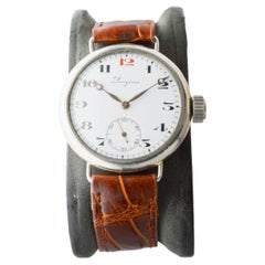
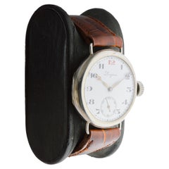
Longines Nickel Campaign Style Watch with a Flawless Kiln Fired Dial from 1915

Longines Nickel Campaign Style Watch with a Flawless Kiln Fired Dial from 1915

By Longines

Located in Long Beach, CA

This included all the pieces that had received navigational and chronometer ratings. They were not even arranged for presentation; they were merely in drawers.

Category

1910s American Art Deco Antique Navigation

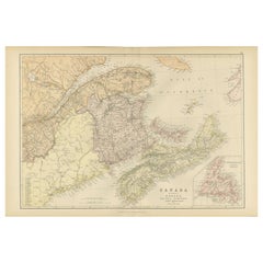
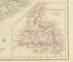
Antique Map of Eastern Canada, Blackie Atlas, 1882, Detailed Geography

Antique Map of Eastern Canada, Blackie Atlas, 1882, Detailed Geography

Located in Langweer, NL

The map's longitude and latitude markers, the detailed scale at the bottom, and the clear labeling of the geographical features all indicate that this map was a practical tool for ed...

Category

1880s British Antique Navigation

Materials

Paper

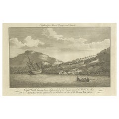
Repairing the Endeavour: Captain Cook's Maritime Ordeal at Hope Islands, ca.1770

Repairing the Endeavour: Captain Cook's Maritime Ordeal at Hope Islands, ca.1770

Located in Langweer, NL

John Hamilton Moore was known for his collection of navigational guides and compilations of voyages in the late 18th century, which might place the engraving at a similar time, possi...

Category

Late 18th Century Antique Navigation

Materials

Paper

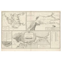
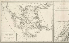
Map of Constantinople, Bosphorus, the Coasts of Greece and the Archipelago, 1785

Map of Constantinople, Bosphorus, the Coasts of Greece and the Archipelago, 1785

Located in Langweer, NL

Maps like this were essential for political and commercial navigation, as the Mediterranean and its surrounding regions were critical trade and military zones.

Category

1780s French Antique Navigation

Materials

Paper

1876 Map of the United States: Detailing the Railroads and Unsettled Territories

1876 Map of the United States: Detailing the Railroads and Unsettled Territories

Located in Langweer, NL

Geographic Features: Major rivers, mountain ranges, and other natural landmarks are also likely depicted, which were important for navigation, settlement, and defining territorial cl...

Category

1870s Antique Navigation

Materials

Paper

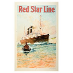
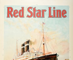
Original Vintage Travel Poster Red Star Line Pennland Ocean Liner Cruise Ship

Original Vintage Travel Poster Red Star Line Pennland Ocean Liner Cruise Ship

By Charles Edward Dixon 1

Located in London, GB

Launched in 1920 as the Pittsburgh for the International Navigation Company, the transatlantic ocean liner was renamed Pennland by Red Star Line in 1926; she was converted into a tro...

Category

1920s Belgian Antique Navigation

Materials

Paper

Northern Schleswig and Haderslev Map by Johannes Mejer and Johannes Blaeu, 1662

Northern Schleswig and Haderslev Map by Johannes Mejer and Johannes Blaeu, 1662

Located in Langweer, NL

Scale and Orientation: - The map includes a latitude scale at the top, indicating the degree lines for navigation and positioning. - It is oriented with north at the top, a sta...

Category

1660s Dutch Antique Navigation

Materials

Paper

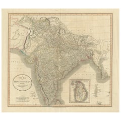
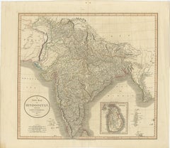
1806 John Cary Map of Hindoostan – Detailed British Cartography of India

1806 John Cary Map of Hindoostan – Detailed British Cartography of India

Located in Langweer, NL

This map represents a time when cartographic efforts were crucial for navigation, trade, and governance in the expanding British Empire.

Category

Early 1800s Antique Navigation

Materials

Paper

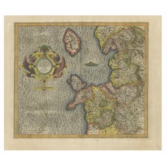
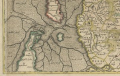
Antique Map of England by Mercator/Hondius, circa 1600

Antique Map of England by Mercator/Hondius, circa 1600

Located in Langweer, NL

This allowed for accurate latitude and longitude calculation and also allowed navigational routes to be drawn using straight lines, a huge advantage for sailors as this allowed them ...

Category

16th Century Antique Navigation

Materials

Paper

Shetland Islands Sea Chart – Antique Nautical Map by Ottens Brother c.1745

Shetland Islands Sea Chart – Antique Nautical Map by Ottens Brother c.1745

Located in Langweer, NL

It stands as a testament to the significance of the Shetlands in 18th-century maritime navigation, especially for Dutch merchants and whalers operating in the North Sea.

Category

1740s Dutch Antique Navigation

Materials

Paper

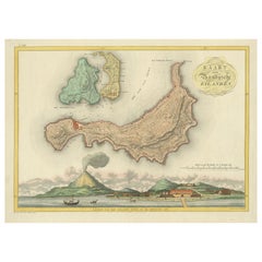
Colonial Cartography: The Banda Islands - the Epicenter of the Spice Trade, 1818

Colonial Cartography: The Banda Islands - the Epicenter of the Spice Trade, 1818

Located in Langweer, NL

The map itself provides a detailed topographical representation of the Banda Islands, possibly with depth soundings and navigational hazards indicated, which would have been essentia...

Category

Early 19th Century Antique Navigation

Materials

Paper

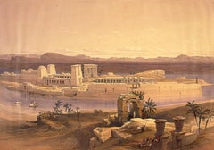
General View of the Island of Philae, Nubia

General View of the Island of Philae, Nubia

By David Roberts

Located in London, GB

General View of the Island of Philae, Nubia First edition lithographs in stock Full plate: 151 Philae is at the head, and is the most eastern of the group of islands and rocks which...

Category

19th Century Victorian Antique Navigation

Materials

Lithograph

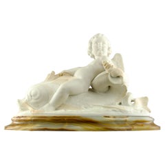
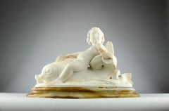
Hippolyte Ferrat, Sculpture of a Cherub Riding a Dolphin, France 19th Century

Hippolyte Ferrat, Sculpture of a Cherub Riding a Dolphin, France 19th Century

By Jean Joseph Hyppolite Romain Ferrat

Located in PARIS, FR

He also sculpts the subjects representing Commerce and Navigation that frame the clock on the pediment of this building.

Category

19th Century French Romantic Antique Navigation

Materials

Marble, Carrara Marble

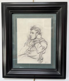
Paul Gavarni (1804-1866) Portrait of a young man, signed drawing

Paul Gavarni (1804-1866) Portrait of a young man, signed drawing

By Paul Gavarni

Located in Paris, FR

He sent several communications to the Académie des Sciences, and until his death on 23 November 1866 he was eagerly interested in the question of aerial navigation. It is said that h...

Category

1840s Romantic Antique Navigation

Materials

Carbon Pencil

Antique Sea Chart by J. B. d'Apres de Mannevillette, Sumatra, 1780

Antique Sea Chart by J. B. d'Apres de Mannevillette, Sumatra, 1780

Located in Langweer, NL

The handsome chart provides detailed navigational information, including the route of Julien Crozet in April 1772, who led a French expedition to the South Pacific after the voyage's...

Category

Late 18th Century French Antique Navigation

Materials

Paper

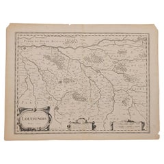
1627 Map Entitled "Loudunois, " Signed on the Back, Ric.a013

1627 Map Entitled "Loudunois, " Signed on the Back, Ric.a013

Located in Norton, MA

1627 map entitled "Loudunois," Signed on the Back Ric.a013 cartography close up double-page hand-colored elevated view no person print hand-tinted hilly close-up early 17th-...

Category

17th Century Dutch Antique Navigation

Materials

Paper

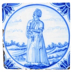
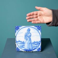
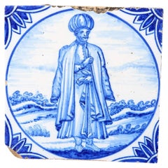
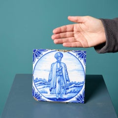
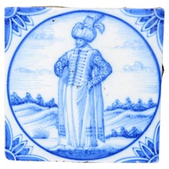
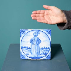
Antique Ravesteijn Blue Delft Tile of Figure in Turkish Dress

Antique Ravesteijn Blue Delft Tile of Figure in Turkish Dress

By Delft

Located in Wormelow, Herefordshire

This figure represents 16th century Ottoman life, taken from the Dutch translation of the book Navigations et pérégrinations orientales by Nicolas de Nicolay, published in Lyons, 156...

Category

Late 19th Century Dutch Georgian Antique Navigation

Materials

Clay

Antique Ravesteijn Delft Tiles of Man in Turkish Dress

Antique Ravesteijn Delft Tiles of Man in Turkish Dress

By Delft

Located in Wormelow, Herefordshire

This figure represents 16th century Ottoman life, taken from the Dutch translation of the book Navigations et pérégrinations orientales by Nicolas de Nicolay, published in Lyons, 156...

Category

Late 19th Century Dutch Georgian Antique Navigation

Materials

Clay

Map of India and Ceylon with Inset of Calcutta and the Ganges, by Bonne, 1780

Map of India and Ceylon with Inset of Calcutta and the Ganges, by Bonne, 1780

Located in Langweer, NL

- Maps like this one were crucial for European understanding of colonial territories and trade routes in the 18th century, especially for navigation and expansion during the age ...

Category

1780s French Antique Navigation

Materials

Paper

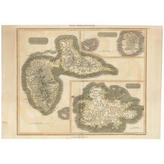
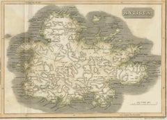
Large Antique Map of Guadeloupe and Antigua with Adjacent Isles, 19th Century

Large Antique Map of Guadeloupe and Antigua with Adjacent Isles, 19th Century

Located in Langweer, NL

While the specific creator is not mentioned, the quality suggests it could be the work of a prominent mapmaker or publisher from the period, known for producing accurate and detailed...

Category

Early 19th Century British Antique Navigation

Materials

Paper

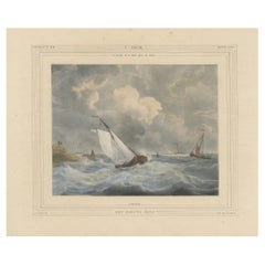
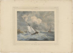
1835 Hand-Colored Lithograph: Sailboat in Stormy Seas near Texel, Holland

1835 Hand-Colored Lithograph: Sailboat in Stormy Seas near Texel, Holland

Located in Langweer, NL

The presence of additional ships in the background and the figures on the shore add narrative depth, suggesting a broader story of navigation and survival. Condition: The print is i...

Category

1830s Antique Navigation

Materials

Paper

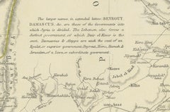
Territories of Antiquity: The Northern Division of Syria, A Detailed 1882 Map

Territories of Antiquity: The Northern Division of Syria, A Detailed 1882 Map

Located in Langweer, NL

The map reflects a time of imperial influence and exploration, where such maps were crucial for navigation, administration, and understanding the complexities of the region's landsca...

Category

1880s English Antique Navigation

Materials

Paper

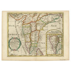
1705 Sanson Map of Southern India and Malabar with an Inset Map

1705 Sanson Map of Southern India and Malabar with an Inset Map

Located in Langweer, NL

The Maldives, labeled as Iles Maldives, are also indicated in the bottom left corner, reflecting their historical importance in regional navigation and commerce. The geographical ...

Category

Early 1700s Antique Navigation

Materials

Paper

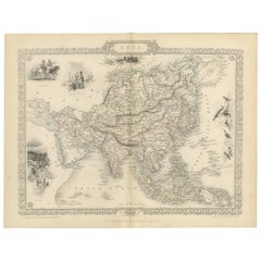
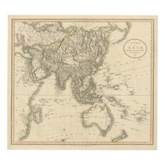
Original 1806 Engraved Map of Asia and Surrounding Regions by John Cary

Original 1806 Engraved Map of Asia and Surrounding Regions by John Cary

Located in Langweer, NL

Cary's maps often included the latest geographical information available from explorers, and they were used for both practical navigation and educational purposes. His work represent...

Category

Early 1800s English Antique Navigation

Materials

Paper

Antique Ravesteijn Delft Tile of Turkish Figure

Antique Ravesteijn Delft Tile of Turkish Figure

By Delft

Located in Wormelow, Herefordshire

This figure represents 16th century Ottoman life, taken from the Dutch translation of the book Navigations et pérégrinations orientales by Nicolas de Nicolay, published in Lyons, 156...

Category

Late 19th Century Dutch Antique Navigation

Materials

Clay

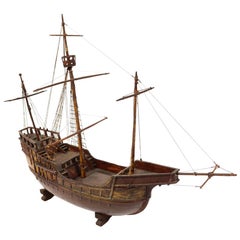
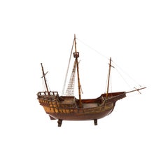
Late 19th century Antique Maritime Model of Cargo-Carrack Probably from Genoa

Late 19th century Antique Maritime Model of Cargo-Carrack Probably from Genoa

Located in Milan, IT

The carracks were the first ships in Europe used in ocean navigation, large enough to tackle the rough seas, and roomy enough to carry provisions for long journeys.

Category

19th Century Italian Antique Navigation

Materials

Wood

Rare Old English Sea Chart of Part of Indonesia with Java, Madura and Bali, 1711

Rare Old English Sea Chart of Part of Indonesia with Java, Madura and Bali, 1711

Located in Langweer, NL

Intended to be published in four books covering different regions of the globe, Seller published an uncompleted book on 'Oriental navigation' in 1675. Unable to continue this Hercule...

Category

1710s British Antique Navigation

Materials

Paper

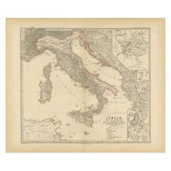
Map of The Italian Peninsula with the islands of Sicily, Sardinia, Corsica, 1880

Map of The Italian Peninsula with the islands of Sicily, Sardinia, Corsica, 1880

Located in Langweer, NL

**Island Representation**: The inclusion of the major islands underscores their historical importance in the Mediterranean context. 5. **Navigation and Trade**: The map may detail an...

Category

1880s Antique Navigation

Materials

Paper
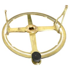
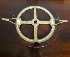
Fine Circular Protractor by William Cary, London c.1810

Fine Circular Protractor by William Cary, London c.1810

By Cary

Located in Norwich, GB

William Cary was an important scientific instrument maker, he trained under Jesse Ramsden (1735-1800) he produced numerous scientific instruments including mechanical calculators, me...

Category

1810s English Antique Navigation

Materials

Brass

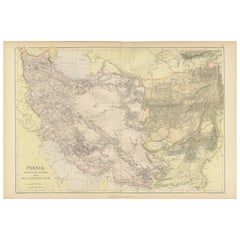
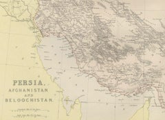
Oriental Realms: A Detailed Map of Persia, Afghanistan, and Beloochistan, 1882

Oriental Realms: A Detailed Map of Persia, Afghanistan, and Beloochistan, 1882

Located in Langweer, NL

This map would have been a crucial resource for explorers, traders, and imperial strategists, providing a wealth of information essential for navigation and understanding the complex...

Category

1880s English Antique Navigation

Materials

Paper

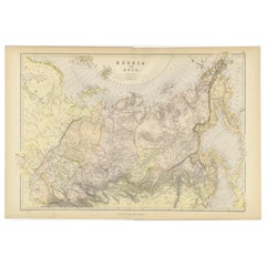
Detailed Antique Cartography of Asian Russia, 1882

Detailed Antique Cartography of Asian Russia, 1882

Located in Langweer, NL

Latitude and longitude lines are drawn with precision, framing the cartographic masterpiece and aiding in navigation and study. Blackie and Son, a Glasgow-based publishing house kno...

Category

1880s Antique Navigation

Materials

Paper
1849 Hand-Colored Map of Fort Smith to Santa Fe Route, Detailing Trails & Camps

1849 Hand-Colored Map of Fort Smith to Santa Fe Route, Detailing Trails & Camps

Located in Langweer, NL

The harsh landscape itself presented challenges: the dry, open plains of the Llano Estacado ("Staked Plain") had little water and few landmarks, making navigation difficult and survi...

Category

1840s Antique Navigation

Materials

Paper
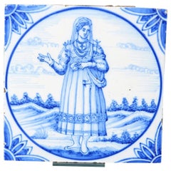
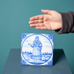
Antique Ravesteijn Delft Tile of Turkish Woman

Antique Ravesteijn Delft Tile of Turkish Woman

By Delft

Located in Wormelow, Herefordshire

This figure represents 16th century Ottoman life, taken from the Dutch translation of the book Navigations et pérégrinations orientales by Nicolas de Nicolay, published in Lyons, 156...

Category

Late 19th Century Dutch Georgian Antique Navigation

Materials

Clay

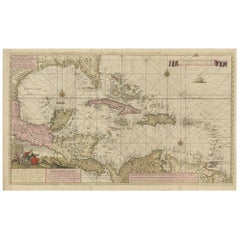
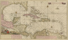
Engraving of a Map of Florida, the Gulf Coast, Caribbean & Central America, 1728

Engraving of a Map of Florida, the Gulf Coast, Caribbean & Central America, 1728

Located in Langweer, NL

The map not only serves as a navigational tool but also as a work of art, reflecting the skill and dedication of its creator, Jan Sikkena.

Category

Mid-18th Century Dutch Antique Navigation

Materials

Paper
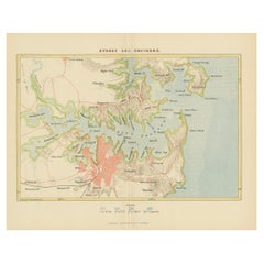
Sydney: Entrance to Port Jackson & View of the Capital of New South Wales, 1863

Sydney: Entrance to Port Jackson & View of the Capital of New South Wales, 1863

Located in Langweer, NL

The dark, choppy waters contrast with the early evening or dawn sky, which is tinged with muted colors, suggesting the challenges and importance of maritime navigation in this bustli...

Category

1860s English Antique Navigation

Materials

Paper
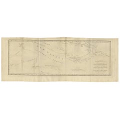
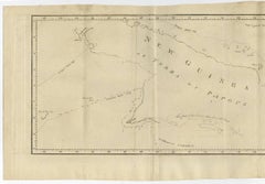
Antique Map of New Guinea and New Britain by P. Carteret, circa 1773

Antique Map of New Guinea and New Britain by P. Carteret, circa 1773

Located in Langweer, NL

The map’s artistic and cartographic details are remarkable, featuring carefully engraved coastlines, navigational markings, and annotations that reflect the state of geographical kno...

Category

Late 18th Century Antique Navigation

Materials

Paper
Antique Decorative Coloured Map of South Africa and Madagascar, 1882

Antique Decorative Coloured Map of South Africa and Madagascar, 1882

Located in Langweer, NL

**Maritime Details**: Given South Africa’s position on the trade route to Asia, maritime details such as currents and harbors along the coastline would be important for navigation an...

Category

1880s Antique Navigation

Materials

Paper
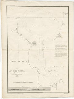
Detailed Map of the Madura Strait, between Java & Madura Island, Indonesia, 1825

Detailed Map of the Madura Strait, between Java & Madura Island, Indonesia, 1825

Located in Langweer, NL

This map originates from 'Journal de la navigation autour du globe de la frégate "la Thétis" et de la corvette "l'Espérance"'.

Category

1820s Antique Navigation

Materials

Paper
Projet de Tissus - Fauvist Flowers Watercolor & Gouache by Raoul Dufy

Projet de Tissus - Fauvist Flowers Watercolor & Gouache by Raoul Dufy

By Raoul Dufy

Located in Marlow, Buckinghamshire

Here, Dufy painted themes close to his heart, portraying no fewer than 125 life-sized historical figures who each contributed in some way or another to the study of light and illumin...

Category

1920s Fauvist Antique Navigation

Materials

Paper, Watercolor, Gouache

19th Century Antique Map of Mediterranean Shores by Blackie & Son

19th Century Antique Map of Mediterranean Shores by Blackie & Son

Located in Langweer, NL

Routes and passages are marked, suggesting the lines of maritime navigation that have been central to the region's economic lifeblood.

Category

1880s British Antique Navigation

Materials

Paper
Cartographic Elegance: The British Raj's India, 1882 Atlas by Blackie and Son

Cartographic Elegance: The British Raj's India, 1882 Atlas by Blackie and Son

Located in Langweer, NL

Both maps display an overlay of longitude and latitude lines, indicative of their navigational utility. The legends and notations, written in English, provide information about the t...

Category

1880s British Antique Navigation

Materials

Paper
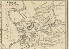
Mediterranean Encounters: From the Punic Wars to the Hannibalic War,  1880

Mediterranean Encounters: From the Punic Wars to the Hannibalic War, 1880

Located in Langweer, NL

**Cities and Roads**: Major cities, settlements, and possibly the network of Roman roads are marked, illustrating the infrastructure that supported movement and administration within...

Category

1880s Antique Navigation

Materials

Paper
Victorian Visions of the New World: A Detailed Tallis Map of North America, 1851

Victorian Visions of the New World: A Detailed Tallis Map of North America, 1851

Located in Langweer, NL

The mapmaker, John Tallis, is recognized for his mid-19th-century maps that were not only tools for navigation but also for education and display, reflecting the era's fascination wi...

Category

1850s Antique Navigation

Materials

Paper
Large Chart of the Gambier Islands, Tuamotu Archipelago, French Polynesia, 1838

Large Chart of the Gambier Islands, Tuamotu Archipelago, French Polynesia, 1838

Located in Langweer, NL

The chart is rich in navigational detail, including soundings, sailing routes, reef formations, and coastal profiles, demonstrating its function as both a scientific document and a p...

Category

Mid-19th Century French Antique Navigation

Materials

Paper
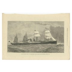
Antique Print of the New Steamship 'Orient', 1879

Antique Print of the New Steamship 'Orient', 1879

Located in Langweer, NL

Antique print titled 'The New Steam-Ship Orient, of the Orient Steam Navigation Company's Line, For Australia'. The Orient was designed to use steam all the way to Australia in about...

Category

19th Century Antique Navigation

Materials

Paper
The American Steam-Sailer St. Louis

The American Steam-Sailer St. Louis

By Antonio Nicolo Gasparo Jacobsen

Located in Jacksonville, FL

Louis She was owned by International Navigation Company (INC) and was sponsored by First Lady, Frances Clara (née Folsom) Cleveland Preston (1864-1947), wife of U.S.

Category

19th Century Antique Navigation

Materials

Oil

Huelva 1901: A Cartographic Presentation of Andalusia's Atlantic Frontier

Huelva 1901: A Cartographic Presentation of Andalusia's Atlantic Frontier

Located in Langweer, NL

The province played a notable role in the history of navigation; from its port, Christopher Columbus set sail on his first voyage to the New World.

Category

Early 1900s Antique Navigation

Materials

Paper
  • 1
Get Updated with New Arrivals
Save "Antique Navigation", and we’ll notify you when there are new listings in this category.

Antique Navigation For Sale on 1stDibs

Choose from an assortment of styles, material and more with respect to the antique navigation you’re looking for at 1stDibs. Each antique navigation for sale was constructed with extraordinary care, often using metal, brass and glass. Your living room may not be complete without an antique navigation — find older editions for sale from the 18th Century and newer versions made as recently as the 20th Century. An antique navigation is a generally popular piece of furniture, but those created in Industrial, Mid-Century Modern and Victorian styles are sought with frequency. Honoré Daumier each produced at least one beautiful antique navigation that is worth considering.
How Much is a Antique Navigation?

The average selling price for an antique navigation at 1stDibs is $1,157, while they’re typically $156 on the low end and $108,004 for the highest priced.