Antique Map Bermuda

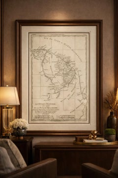
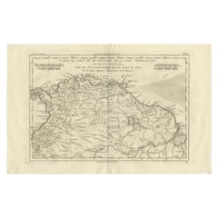
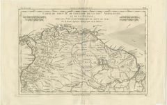
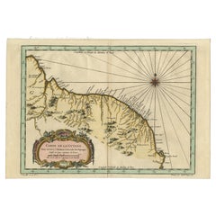
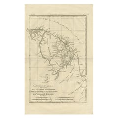
French Guiana & Suriname – Rigobert Bonne’s Colonial Map of the Guianas, c.1780

French Guiana & Suriname – Rigobert Bonne’s Colonial Map of the Guianas, c.1780

Located in Langweer, NL

Keyword block: Antique Caribbean map, Antilles map 18th century, Gulf of Mexico antique map, Rigobert Bonne, French colonial cartography, copper engraved map, maritime history map, E...

Category

Antique Late 18th Century French Maps

Materials

Paper

Recent Sales

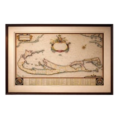
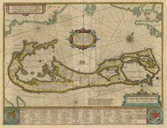
Blaeu Bermuda Map, Somers Isles, Atlantic Chart, Hand-Colored, c.1642

Blaeu Bermuda Map, Somers Isles, Atlantic Chart, Hand-Colored, c.1642

Located in Langweer, NL

The elongated format lends itself well to horizontal placement above a desk or console, or as a refined standalone focal point within a curated wall of early maps. Technique: Copper...

Category

Antique Mid-17th Century Dutch Maps

Materials

Paper

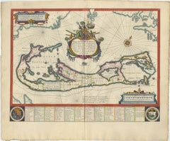
Antique Map of Bermuda by Hondius, 'circa 1630'

Antique Map of Bermuda by Hondius, 'circa 1630'

Sold

H 17.13 in W 21.38 in D 0.02 in

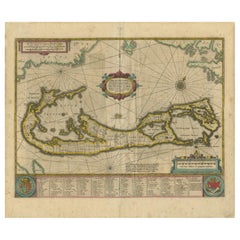
Antique Map of Bermuda by Hondius, 'circa 1630'

Located in Langweer, NL

Antique map titled 'Mappa Aestivarum Insularum Alias Barmudas dictarum (..)'.

Category

Antique Mid-17th Century Maps

Materials

Paper

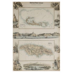
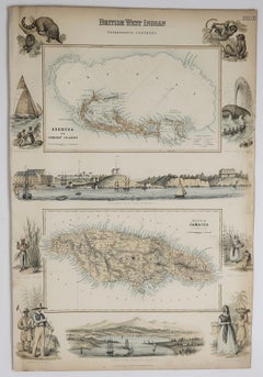
Original Antique Decorative Map of Bermuda & Jamaica, Fullarton, C.1870

Original Antique Decorative Map of Bermuda & Jamaica, Fullarton, C.1870

Located in St Annes, Lancashire

Great map of Bermuda and Jamaica Wonderful figural border From the celebrated Royal Illustrated Atlas Lithograph. Original color. Published by Fullarton, Edinburgh. C.18...

Category

Antique 1870s Scottish Maps

Materials

Paper

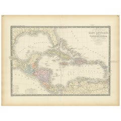
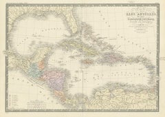
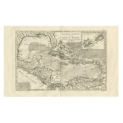
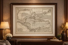
The Caribbean & Gulf of Mexico – Rigobert Bonne’s Antilles Map, c.1780

The Caribbean & Gulf of Mexico – Rigobert Bonne’s Antilles Map, c.1780

Located in Langweer, NL

Keyword block: Antique Caribbean map, Antilles map 18th century, Gulf of Mexico antique map, Rigobert Bonne, French colonial cartography, copper engraved map, maritime history map, E...

Category

Antique Late 18th Century French Maps

Materials

Paper

You May Also Like

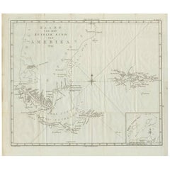
Antique Map of South America by J. Cook (1775)

Antique Map of South America by J. Cook (1775)

$676

H 18.51 in W 21.07 in D 0.02 in

Antique Map of South America by J. Cook (1775)

Located in Langweer, NL

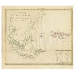
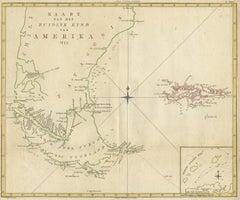
Antique map titled 'Kaart van het Zuidlyk Eind van Amerika'. Map of the sourthern part of South America, focusing on Cook's tracks around the Cape Horn and Tierra del Fuego in 1775. ...

Category

Antique Late 18th Century Maps

Materials

Paper

Antique Map of South America by J. Cook, 1775

Antique Map of South America by J. Cook, 1775

$659

H 18.9 in W 20.87 in D 0.02 in

Antique Map of South America by J. Cook, 1775

Located in Langweer, NL

Antique map titled 'Kaart van het Zuidlyk Eind van Amerika'. Map of the sourthern part of South America, focusing on Cook's tracks around the Cape Horn and Tierra del Fuego in 1775. ...

Category

Antique Mid-18th Century Maps

Materials

Paper

Antique Map of the Antilles in the Caribbean, '1875'

Antique Map of the Antilles in the Caribbean, '1875'

$315Sale Price|44% Off

H 18.71 in W 24.02 in D 0.02 in

Antique Map of the Antilles in the Caribbean, '1875'

Located in Langweer, NL

Antique map titled 'Carte des Iles Antilles'. Large map of the Antilles. This map originates from 'Atlas de Géographie Moderne Physique et Politique' by A. Levasseur. Published, 1875.

Category

Antique Late 19th Century French Maps

Materials

Paper

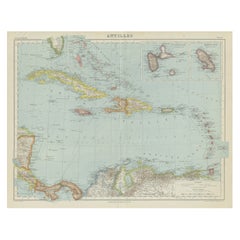
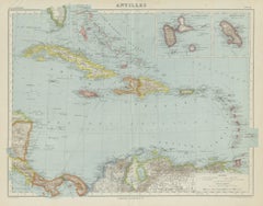
Vintage Map of the Greater Antilles and Lesser Antilles

Vintage Map of the Greater Antilles and Lesser Antilles

$128Sale Price|20% Off

H 17.6 in W 22.64 in D 0.02 in

Vintage Map of the Greater Antilles and Lesser Antilles

Located in Langweer, NL

Vintage map titled 'Antilles'. Original map of the Antilles. Shows the Cayman Islands, Cuba, Hispaniola (subdivided into the nations of the Dominican Republic and Haiti), Jamaica, an...

Category

20th Century Maps

Materials

Paper

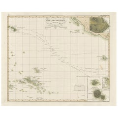
Antique Map of Eastern Polynesia, 1849

Antique Map of Eastern Polynesia, 1849

$160Sale Price|30% Off

H 15.08 in W 18.51 in D 0.02 in

Antique Map of Eastern Polynesia, 1849

Located in Langweer, NL

Antique map titled 'Ost-Polynesien'. Interesting variant issue, with large detailed insets top right of Hawaii volcanos near Kilauea. Insets lower right of Honolulu harbour, island o...

Category

Antique Mid-19th Century Maps

Materials

Paper
New Granada, New Andalusia & Guiana – Antique Map by Rigobert Bonne, c.1780

New Granada, New Andalusia & Guiana – Antique Map by Rigobert Bonne, c.1780

Located in Langweer, NL

New Granada, New Andalusia & Guiana – Enlightenment Map by Rigobert Bonne, c.1780 This finely engraved late-18th-century map depicts northern South America, titled Carte du Nou...

Category

Antique Late 18th Century French Maps

Materials

Paper

Antique Map of the British Islands to the White Sea by J. Imray

Antique Map of the British Islands to the White Sea by J. Imray

Located in Langweer, NL

Antique large nautical chart of the British Islands to the White Sea. With insets of Veshnyak Channel, Sosnovets and the Bay of Arkhangel. Published by James Irmay and Son, circa 1875.

Category

Antique Late 19th Century Maps

Materials

Paper
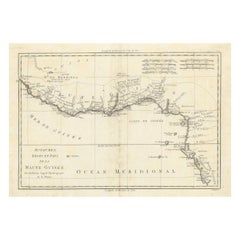
18th Century Map of Upper Guinea: Kingdoms and Coastal Regions of West Africa

18th Century Map of Upper Guinea: Kingdoms and Coastal Regions of West Africa

Located in Langweer, NL

This is an antique map depicting the coastal regions of West Africa, specifically the Gulf of Guinea and surrounding areas, including parts of what is now Senegal, Guinea, Sierra Leo...

Category

Antique 1780s Maps

Materials

Paper

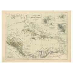
Antique Map of the Antilles and Central America – 1872

Antique Map of the Antilles and Central America – 1872

Located in Langweer, NL

Title: Antique Map of the Antilles and Central America – 1872 Description: This finely detailed antique map, titled Antilles et Amérique Centrale, was published in 1872 under t...

Category

Antique 1870s Maps

Materials

Paper

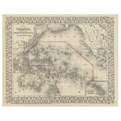
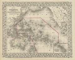
Old Map of the Pacific, Incl Australia, Polynesia, Melanesia and Malaysia, 1872

Old Map of the Pacific, Incl Australia, Polynesia, Melanesia and Malaysia, 1872

Located in Langweer, NL

Antique map Oceania titled 'Map of Oceanica exhibiting its various divisions, island groups & c'. Map of the Pacific, including Australia, Polynesia, Melanesia and Malaysia. Covers...

Category

Antique 1870s Maps

Materials

Paper

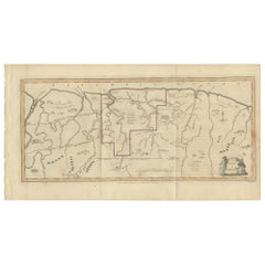
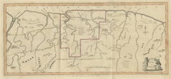
Antique Map of Surinam by Stedman '1813'

Antique Map of Surinam by Stedman '1813'

$458Sale Price|20% Off

H 10.24 in W 19.3 in D 0.02 in

Antique Map of Surinam by Stedman '1813'

Located in Langweer, NL

Antique map titled 'A Map of Surinam'. Original antique map of Surinam, showing Dutch settlements, military posts, rebel Maroon camps and native villages. This map originates from 'N...

Category

Antique Early 19th Century Maps

Materials

Paper
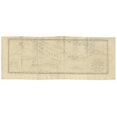
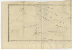
Antique Map of New Guinea and New Britain by P. Carteret, circa 1773

Antique Map of New Guinea and New Britain by P. Carteret, circa 1773

$504Sale Price|20% Off

H 10.63 in W 28.55 in D 0.02 in

Antique Map of New Guinea and New Britain by P. Carteret, circa 1773

Located in Langweer, NL

Antique Map: A Chart of Captain Carteret's Discoveries at New Britain (1769) This rare and historically significant 18th-century map, titled *A Chart of Captn Carteret's Discoveri...

Category

Antique Late 18th Century Maps

Materials

Paper
Old Map of Guyana, Suriname and French Guiana with Paramaribo and Cayenne, c1760

Old Map of Guyana, Suriname and French Guiana with Paramaribo and Cayenne, c1760

Located in Langweer, NL

Description: Antique map titled 'Carte de la Guiane.' Antique map of the Guianas - present day Guyana, Suriname and French Guiana, including Paramaribo and Cayenne. Source unknow...

Category

Antique 1760s Maps

Materials

Paper

Saint Domingue Map 1793 – Colonial Haiti and Dominican Republic Plan

Saint Domingue Map 1793 – Colonial Haiti and Dominican Republic Plan

Located in Langweer, NL

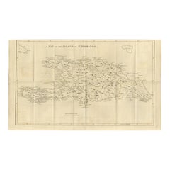
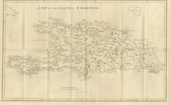
1793 Map of Saint Domingue (Haiti and DR) – Colonial Island Plan This antique map is titled “A Map of the Island of St. Domingo” and dates from circa 1793. It depicts the entire isl...

Category

Antique Late 18th Century English Maps

Materials

Paper

Antique Map of the Friendly Islands by Cook, 1803

Antique Map of the Friendly Islands by Cook, 1803

Located in Langweer, NL

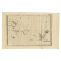
Antique map Friendly Islands titled 'Kaart van de Vrienden Eilanden'. Antique map of the Friendly Islands depicting Rotterdam or Anamocka, Middelburg or Eaoowe and Amsterdam or Tonga...

Category

Antique 19th Century Maps

Materials

Paper
Old Map Guiana, Columbia Venezuela, Andalusia in South America  by Bonne, c.1780

Old Map Guiana, Columbia Venezuela, Andalusia in South America by Bonne, c.1780

Located in Langweer, NL

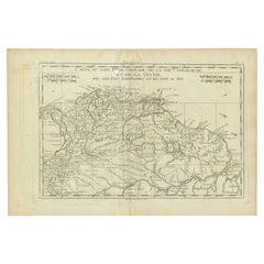
Antique map titled 'Carte du Nouv. Rme. de Grenade, de la Nou'le Andalousie, et de la Guyane, avec les pays Limitrophes qui en sont au sud'. Detailed map covering part of South Ame...

Category

Antique 18th Century Maps

Materials

Paper
People Also Browsed

Pair of Regency Style Nightstands

Pair of Regency Style Nightstands

$5,514 / set

H 28 in W 28 in D 21 in

Pair of Regency Style Nightstands

Located in Westwood, NJ

A Regency-style nightstand or side table is a colonial flavored piece with a nod to Anglo-Indian furniture flavors. A framework of spiral turned and tapered legs supports two frieze ...

Category

21st Century and Contemporary Vietnamese Regency Night Stands

Materials

Wood

Baker Furniture French Regency Mahogany Nightstands or End Tables, Refinished

Baker Furniture French Regency Mahogany Nightstands or End Tables, Refinished

By Baker Furniture Company

Located in South Bend, IN

A gorgeous pair of mid-century French Regency style two-tier side tables or nightstands By Baker Furniture USA, Circa 1960s Mahogany, with original brass hardware Measure...

Category

Mid-20th Century American Regency Night Stands

Materials

Brass

Swedish Painted Bedside Cupboard

Swedish Painted Bedside Cupboard

$2,049

H 31 in W 20.5 in D 13.5 in

Swedish Painted Bedside Cupboard

Located in Leamington Spa, Warwickshire

Swedish painted bedside cupboard with reeded doors. 1920. Code: 8167 Dimensions: W: 20.5" (52.1 cm) H: 31" (78.7 cm) D: 13.5" (34.3 cm)

Category

Early 20th Century Swedish Night Stands

Materials

Pine

Rug & Kilim's Scandinavian Style Custom Kilim Rugs in Blue, Green Trellises

Rug & Kilim's Scandinavian Style Custom Kilim Rugs in Blue, Green Trellises

By Rug & Kilim

Located in Long Island City, NY

Connoting a contemporary take on vintage Swedish aesthetics, a custom flat weave design from Rug & Kilim’s award-winning Scandinavian Collection. The modern style Kilim adopts a clas...

Category

2010s Indian Scandinavian Modern Russian and Scandinavian Rugs

Materials

Wool

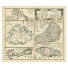
Original Old Map of St Kitts, Antigua, Bermuda, Barbados, and Jamaica, ca.1745

Original Old Map of St Kitts, Antigua, Bermuda, Barbados, and Jamaica, ca.1745

Located in Langweer, NL

Antique map titled 'Dominia Anglorum in praecipuis Insulis Americae ut sunt Insula S. Christophori, Antegoa, Iamaica, Barbados nec non Insulae Bermudes vel Sommers dictae. Die Englis...

Category

Antique 1740s Maps

Materials

Paper
Get Updated with New Arrivals
Save "Antique Map Bermuda", and we’ll notify you when there are new listings in this category.

Read More