Compass Rose Antique

to
83
274
31
267
150
114
54
46
37
34
31
27
15
13
12
12
11
10
8
7
6
5
5
5
5
4
4
4
3
3
3
3
3
2
2
2
2
2
1
1
1
1
1
1
1
12
5
5
4
3
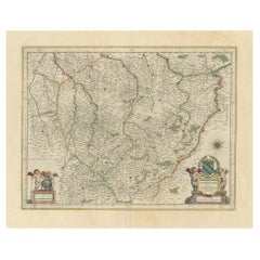
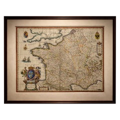
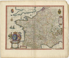
17th Century Blaeu Map of France, Gallia, Hand Colored, c.1642

17th Century Blaeu Map of France, Gallia, Hand Colored, c.1642

Located in Langweer, NL

Additional decorative features include sailing ships, a compass rose, and finely engraved coastal outlines, all contributing to the visual richness of the piece.

Category

Mid-17th Century Dutch Compass Rose Antique

Materials

Paper
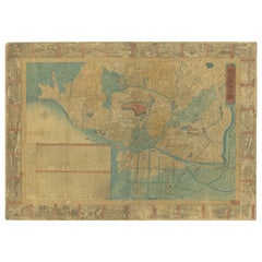
1885 Shinsen Tokyo Zenzu: Rare Meiji-Era Map of Tokyo by Sakai Kinzaburo

1885 Shinsen Tokyo Zenzu: Rare Meiji-Era Map of Tokyo by Sakai Kinzaburo

Located in Langweer, NL

The map's clear delineation of districts, roads, and waterways illustrates the complexity and organization of Edo, one of the world's largest cities at the time. The inclusion of a c...

Category

1880s Japanese Compass Rose Antique

Materials

Paper

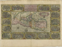
1625 Petrus Plancius / Cloppenburg Map of the Holy Land with Biblical Vignettes

1625 Petrus Plancius / Cloppenburg Map of the Holy Land with Biblical Vignettes

Located in Langweer, NL

The map's decorative elements include a strapwork cartouche, a sailing ship, and a compass rose that orients north to the left. This is the second state of Plancius' series, with the...

Category

1620s Compass Rose Antique

Materials

Paper

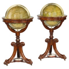
A pair of Newton and Son ‘New & Improved’ 15 inch globes

A pair of Newton and Son ‘New & Improved’ 15 inch globes

Located in Lymington, Hampshire

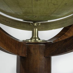
This is raised on three acanthus carved C-curve legs centred on compass roses (replaced). The sharply carved lion’s paw feet enclose the original brass castors.

Category

1860s English Compass Rose Antique

Materials

Walnut

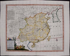
China: An Original 18th Century Hand-colored Map by E. Bowen

China: An Original 18th Century Hand-colored Map by E. Bowen

By Emanuel Bowen 1

Located in Alamo, CA

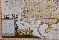
The map is embellished with a Compass Rose in the lower right and an elaborate decorative title and distance scale cartouche in the lower left, which depicts Chinese architecture, po...

Category

Mid-18th Century Old Masters Compass Rose Antique

Materials

Engraving

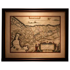
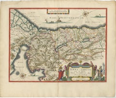
Antique Blaeu Holy Land Map – Terra Sancta Palestina, 1629

Antique Blaeu Holy Land Map – Terra Sancta Palestina, 1629

Located in Langweer, NL

Particularly attractive is the elaborate title cartouche in the lower right corner, decorated with biblical figures including Moses holding the Tablets of the Law, alongside another ...

Category

Early 17th Century Dutch Compass Rose Antique

Materials

Paper
Antique Map of Prussia – Blaeu “Prussiae Nova Tabula”, c.1635

Antique Map of Prussia – Blaeu “Prussiae Nova Tabula”, c.1635

By Willem Blaeu

Located in Langweer, NL

The Baltic coastline is prominently displayed, with maritime orientation reinforced by a large compass rose radiating across the sea. Visually, the map is enriched by a magnificent ...

Category

Mid-17th Century Dutch Compass Rose Antique

Materials

Paper
Antique Map of Mozambique and Cape of Good Hope with Kingdom Monomotapa, 1780

Antique Map of Mozambique and Cape of Good Hope with Kingdom Monomotapa, 1780

Located in Langweer, NL

However, Bonne maps generally abandon such common 18th century decorative features such as hand coloring, elaborate decorative cartouches, and compass roses. While mostly focusing on...

Category

18th Century Compass Rose Antique

Materials

Paper
Dardanelles & Hellespont View by George Sandys, Ottoman Turkey, 1621

Dardanelles & Hellespont View by George Sandys, Ottoman Turkey, 1621

Located in Langweer, NL

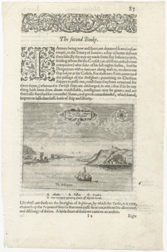
The view is rendered in the restrained yet elegant style characteristic of early English copperplate book illustrations. Compass rose details and annotated landmarks including Abydos...

Category

Early 17th Century British Compass Rose Antique

Materials

Paper
Antique Chile Map Blaeu c.1642 – Dramatic Andes & Pacific Panorama

Antique Chile Map Blaeu c.1642 – Dramatic Andes & Pacific Panorama

Located in Langweer, NL

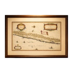
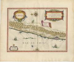
Blaeu’s characteristic decorative style is evident in the bold title cartouche at the upper left and the ornate scale cartouche at the upper right, both enriched with original hand c...

Category

Mid-17th Century Dutch Compass Rose Antique

Materials

Paper
Antique Road Map Oxford to Bristol, Ogilby Britannia Strip Map, 1675

Antique Road Map Oxford to Bristol, Ogilby Britannia Strip Map, 1675

Located in Langweer, NL

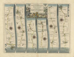
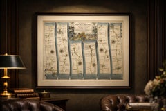
The road itself is highlighted in color, guiding the eye through the countryside. Frequent compass roses are placed throughout the map, indicating directional changes and adding bot...

Category

Mid-17th Century British Compass Rose Antique

Materials

Paper
Blaeu Cyprus Map, Insula Cypri, Mythological Cartouche, c.1642

Blaeu Cyprus Map, Insula Cypri, Mythological Cartouche, c.1642

Located in Langweer, NL

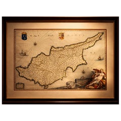
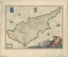
The surrounding sea is animated with compass roses and sailing vessels, reinforcing the island’s historical importance as a maritime crossroads between Europe, Asia, and the Levant.

Category

Mid-17th Century Dutch Compass Rose Antique

Materials

Paper
Bay of Saint Helena: French Naval Chart by N.B. Ingénieur de la Marine, ca.1770

Bay of Saint Helena: French Naval Chart by N.B. Ingénieur de la Marine, ca.1770

Located in Langweer, NL

A decorative fleur-de-lis compass rose marks the left side of the chart, indicating orientation and providing a clear sense of direction for mariners.

Category

1770s Compass Rose Antique

Materials

Paper
Set of Four Antique Maps of Caribbean Islands by Bryan Edwards, 1818

Set of Four Antique Maps of Caribbean Islands by Bryan Edwards, 1818

Located in Langweer, NL

The map includes Bridgetown, Speightstown and the island's numerous plantation districts. An engraved compass rose appears to the right. 4. Map of the Island of Grenada Detailed ...

Category

1810s British Compass Rose Antique

Materials

Paper
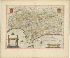
Blaeu Andalusia Map, Seville Cordoba Granada Spain, c.1642

Blaeu Andalusia Map, Seville Cordoba Granada Spain, c.1642

Located in Langweer, NL

The coastline along the Mediterranean and Atlantic is beautifully articulated, with shipping routes, compass roses, and sailing vessels emphasizing the maritime importance of the reg...

Category

Mid-17th Century Dutch Compass Rose Antique

Materials

Paper
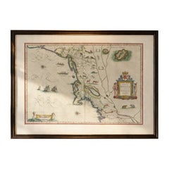
Antique New England Map Blaeu c.1642 – Nova Belgica & Anglia, Ships

Antique New England Map Blaeu c.1642 – Nova Belgica & Anglia, Ships

Located in Langweer, NL

Additional features include sailing ships, compass roses, and an elaborate cartouche, all enhanced by original hand coloring.

Category

Mid-17th Century Dutch Compass Rose Antique

Materials

Paper
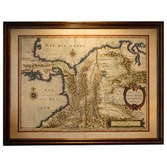
Terra Firma, Blaeu c.1642 – Antique Map of New Granada & Popayán

Terra Firma, Blaeu c.1642 – Antique Map of New Granada & Popayán

Located in Langweer, NL

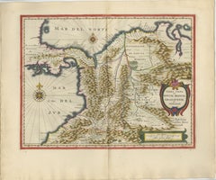
The coastline is elegantly outlined and complemented by compass roses and navigational lines, emphasizing maritime routes linking the Caribbean to the Pacific.

Category

Mid-17th Century Dutch Compass Rose Antique

Materials

Paper
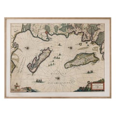
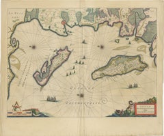
Antique Blaeu Map Mallorca Ibiza Balearic Islands, Mediterranean, 1642

Antique Blaeu Map Mallorca Ibiza Balearic Islands, Mediterranean, 1642

Located in Langweer, NL

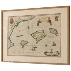
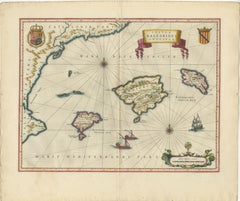
Blaeu, Amsterdam, c.1642 Keywords: Balearic Islands map, Mallorca map, Ibiza map, Menorca map, antique Mallorca map, antique Ibiza map, Blaeu Balearic map, Mediterranean islands map...

Category

Mid-17th Century Dutch Compass Rose Antique

Materials

Paper
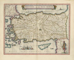
Blaeu Map of Anatolia, Asia Minor & Aegean, Ottoman Figure, c.1642

Blaeu Map of Anatolia, Asia Minor & Aegean, Ottoman Figure, c.1642

Located in Langweer, NL

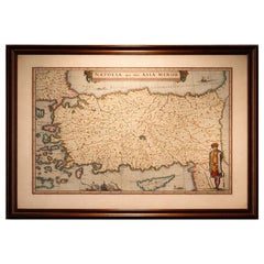
The seas are animated with sailing vessels, compass roses, and elegant linework, contributing to the map’s balance between scientific representation and artistic refinement.

Category

Mid-17th Century Dutch Compass Rose Antique

Materials

Paper
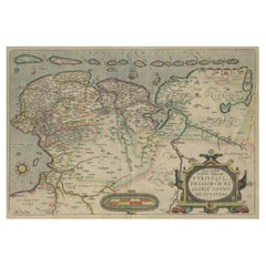
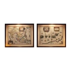
Antique Blaeu Maps, Indonesia & Moluccas – VOC Era, c.1642

Antique Blaeu Maps, Indonesia & Moluccas – VOC Era, c.1642

Located in Langweer, NL

The map is richly adorned with sailing ships, compass roses, and a striking cartouche, alongside an inset of Bachian Island, underscoring the strategic importance of the region.

Category

Mid-17th Century Dutch Compass Rose Antique

Materials

Paper
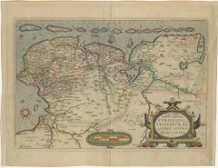
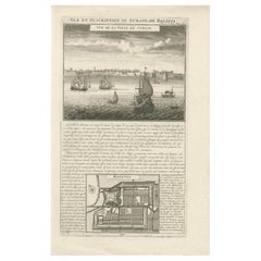
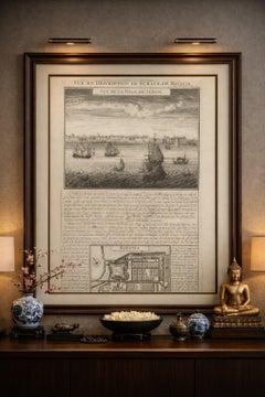
Antique View of Surat & Plan of Batavia — VOC India & Indonesia, Chatelain, 1719

Antique View of Surat & Plan of Batavia — VOC India & Indonesia, Chatelain, 1719

Located in Langweer, NL

A detailed engraved plan labeled “Batavia” shows a fortified urban layout with rectilinear streets, canals, defensive walls, and bastions — reflecting Dutch urban planning principles...

Category

Early 18th Century French Compass Rose Antique

Materials

Paper
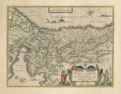
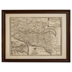
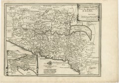
Antique Biblical Holy Land Map — Jerusalem, Palestine & Levant, De Fer 1703

Antique Biblical Holy Land Map — Jerusalem, Palestine & Levant, De Fer 1703

Located in Langweer, NL

The engraved title cartouche in the upper right adds a refined decorative element, while the compass rose and scales at the bottom demonstrate the technical precision characteristic ...

Category

Early 18th Century Compass Rose Antique

Materials

Paper
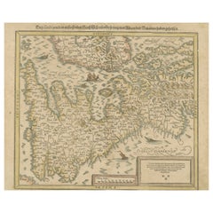
Sebastian Münster's 16th Century Map of the British Isles, ca.1590

Sebastian Münster's 16th Century Map of the British Isles, ca.1590

Located in Langweer, NL

**Decorative Elements**: - The map includes several artistic details such as sea monsters, ships, and ornate cartouches. - A decorative compass rose can be seen, aiding in navi...

Category

16th Century Compass Rose Antique

Materials

Paper
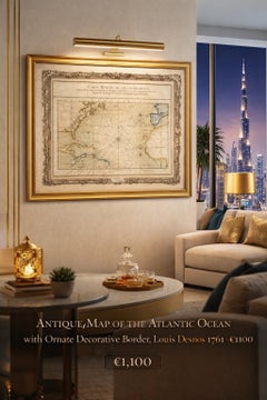
Antique Map of the Atlantic Ocean by Desnos with Ornate Border, 1761

Antique Map of the Atlantic Ocean by Desnos with Ornate Border, 1761

Located in Langweer, NL

Technique: Copper engraving with contemporary outline color Maker: Louis-Charles Desnos, Paris, 1761 Keywords: Atlantic Ocean map Desnos 1761 nautical chart sea chart rhumb lines co...

Category

Mid-18th Century French Compass Rose Antique

Materials

Paper
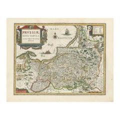
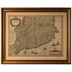
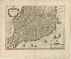
Blaeu Catalonia Map, Barcelona & Mediterranean Coast Spain, c.1642

Blaeu Catalonia Map, Barcelona & Mediterranean Coast Spain, c.1642

Located in Langweer, NL

The coastline is beautifully articulated, enhanced by rhumb lines, compass roses, and finely engraved ships navigating the Mediterranean, adding a strong maritime character to the pi...

Category

Mid-17th Century Dutch Compass Rose Antique

Materials

Paper
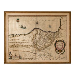
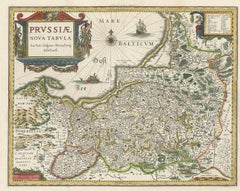
Blaeu Biscay Map, Basque Country Bilbao Cantabria Spain, c.1642

Blaeu Biscay Map, Basque Country Bilbao Cantabria Spain, c.1642

Located in Langweer, NL

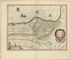
The Cantabrian Sea dominates the upper portion of the map, animated by sailing vessels and a striking compass rose with radiating rhumb lines, emphasizing the maritime importance of ...

Category

Mid-17th Century Dutch Compass Rose Antique

Materials

Paper

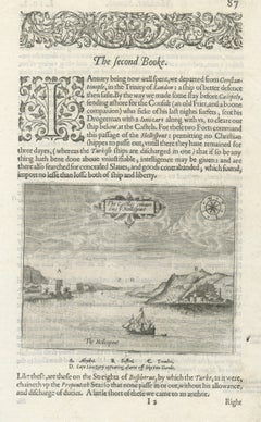
Antique Virginia Map Blaeu c.1642 – Jamestown, Powhatan, Chesapeake

Antique Virginia Map Blaeu c.1642 – Jamestown, Powhatan, Chesapeake

Located in Langweer, NL

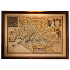
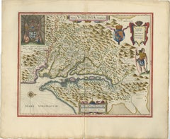
Additional decorative elements include a standing native figure, a royal coat of arms, a compass rose, and an elaborate scale cartouche, all enriched by original hand coloring.

Category

Mid-17th Century Dutch Compass Rose Antique

Materials

Paper
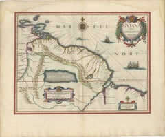
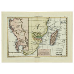
Antique Surinam & Guiana Map Blaeu c.1642 – Amazon, El Dorado

Antique Surinam & Guiana Map Blaeu c.1642 – Amazon, El Dorado

Located in Langweer, NL

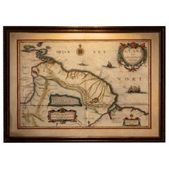
Blaeu enriches the composition with elegant decorative elements, including sailing ships in the Atlantic, a finely engraved compass rose, and a large, ornate title cartouche framed w...

Category

Mid-17th Century Dutch Compass Rose Antique

Materials

Paper
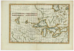
Old Map of the Great Lakes and Upper Mississippi Valley, Northern America, c1780

Old Map of the Great Lakes and Upper Mississippi Valley, Northern America, c1780

Located in Langweer, NL

However, Bonne maps generally abandon such common 18th century decorative features such as hand coloring, elaborate decorative cartouches, and compass roses. While mostly focusing on...

Category

1780s Compass Rose Antique

Materials

Paper
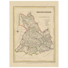
Antique map of Brecknockshire, Wales by Creighton & Walker, c.1831–1840

Antique map of Brecknockshire, Wales by Creighton & Walker, c.1831–1840

Located in Langweer, NL

These details reflect the practical and statistical purpose of the map, making it both a decorative piece and an informative record of 19th-century administration. A compass rose at ...

Category

1830s British Compass Rose Antique

Materials

Paper
Palermo – 1620 Braun & Hogenberg Bird’s-Eye Map of Palermo, Sicily

Palermo – 1620 Braun & Hogenberg Bird’s-Eye Map of Palermo, Sicily

Located in Langweer, NL

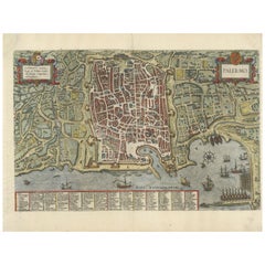
The plate is highly decorative, featuring elegant strapwork cartouches, a detailed compass rose, and meticulously illustrated ships sailing in the Mediterranean.

Category

1620s Compass Rose Antique

Materials

Paper
Antique Map of the Coast of Southern France, 1793

Antique Map of the Coast of Southern France, 1793

Located in Langweer, NL

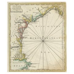
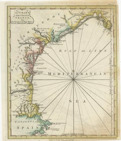
**Navigational Aids**: - The map features a compass rose with radiating lines, a common navigational aid in maritime maps of the period

Category

Late 18th Century Compass Rose Antique

Materials

Paper
Antique Blaeu Map of Champagne France, Campania Comitatus, c. 1642

Antique Blaeu Map of Champagne France, Campania Comitatus, c. 1642

Located in Langweer, NL

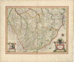
The composition is enhanced by elegant allegorical cartouches in the lower corners, including cherubs supporting heraldic devices and a finely engraved compass rose. The decorative b...

Category

Mid-17th Century Dutch Compass Rose Antique

Materials

Paper
Johannes Janssonius' 17th-Century Map of the Duchy of Bremen in Germany

Johannes Janssonius' 17th-Century Map of the Duchy of Bremen in Germany

Located in Langweer, NL

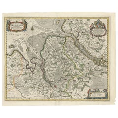
The top right houses a dedication cartouche, honoring Cornelius de Graaf of Amsterdam, adorned with an uncolored coat of arms held by putti, adding a noble flair. - Compass Rose: Pos...

Category

1650s Compass Rose Antique

Materials

Paper

Authentic 1644 Janssonius Map of the Champagne Region (Campania) in France

Authentic 1644 Janssonius Map of the Champagne Region (Campania) in France

Located in Langweer, NL

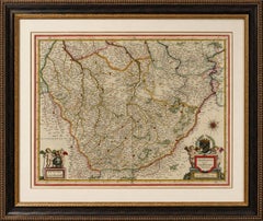
In the lower left corner, a pair of cherubs are engaged in surveying, symbolizing the scientific endeavor of cartography. The elaborate compass rose and the scale bar further complem...

Category

1640s Compass Rose Antique

Materials

Paper

Blaeu Map of Île de Ré & Oléron, La Rochelle Coast France, c.1642

Blaeu Map of Île de Ré & Oléron, La Rochelle Coast France, c.1642

Located in Langweer, NL

The open sea is filled with an intricate network of rhumb lines radiating from compass roses, guiding navigation across the Atlantic waters.

Category

Mid-17th Century Dutch Compass Rose Antique

Materials

Paper
Blaeu Holy Land Map, Terra Sancta Palestina, Figural Cartouche, 1642

Blaeu Holy Land Map, Terra Sancta Palestina, Figural Cartouche, 1642

Located in Langweer, NL

Additional decorative elements, including compass roses, ships, and sea creatures, animate the surrounding waters and reinforce the map’s visual appeal.

Category

Mid-17th Century Dutch Compass Rose Antique

Materials

Paper
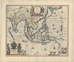
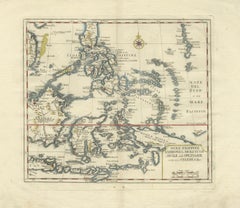
Antique Map Philippines – Moluccas, Celebes, Spice Islands – Tirion, c.1738

Antique Map Philippines – Moluccas, Celebes, Spice Islands – Tirion, c.1738

Located in Langweer, NL

The map also includes portions of Borneo, Java, Timor, and New Guinea, providing broader geographical context for the trade routes that connected these islands to global markets. A f...

Category

1730s Dutch Compass Rose Antique

Materials

Paper
Original Antique Engrving of Chinese Tartary in the 18th Century, 1737

Original Antique Engrving of Chinese Tartary in the 18th Century, 1737

Located in Langweer, NL

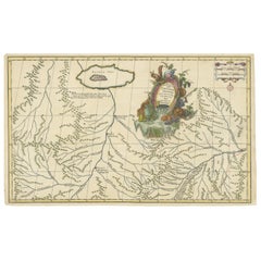
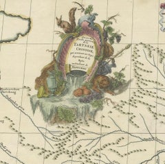
Includes engraved title page, with index “Liste et ordre des cartes comprises dans cet atlas ”,12 pages of descriptive text by a Swedish officer and 42 engraved maps, with decorative...

Category

1730s Compass Rose Antique

Materials

Paper
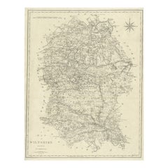
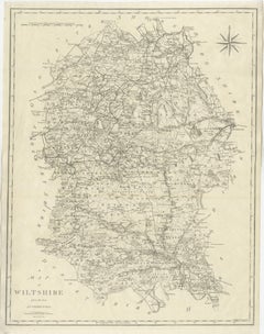
Antique Map of Wiltshire by John Cary, Engraved, England, 1805

Antique Map of Wiltshire by John Cary, Engraved, England, 1805

Located in Langweer, NL

The county’s position between the Bristol Channel and the English interior made it historically important as a route network, and Cary carefully illustrates the roads linking market ...

Category

Early 19th Century British Compass Rose Antique

Materials

Paper
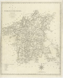
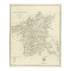
Antique Map Worcestershire England – John Cary County Map, Roads & Hundreds 1805

Antique Map Worcestershire England – John Cary County Map, Roads & Hundreds 1805

Located in Langweer, NL

Decorative elements include a compass rose and engraved border, enhancing the aesthetic appeal while maintaining the restrained elegance typical of early nineteenth-century British c...

Category

Early 19th Century Compass Rose Antique

Materials

Paper
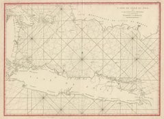
Antique Sea Chart Java Indonesia – Mannevillette Neptune Oriental 1775

Antique Sea Chart Java Indonesia – Mannevillette Neptune Oriental 1775

Located in Langweer, NL

The waters surrounding Java are covered with elaborate rhumb-line networks radiating from multiple compass roses, allowing navigators to plot courses across the sea.

Category

Late 18th Century Compass Rose Antique

Materials

Paper
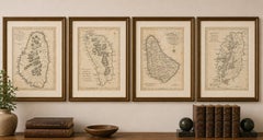
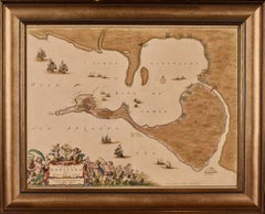
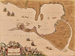
Cadiz Island: A Framed 17th Century Hand-colored Map from Blaeu's Atlas Major

Cadiz Island: A Framed 17th Century Hand-colored Map from Blaeu's Atlas Major

By Joan (Johannes) Blaeu

Located in Alamo, CA

Numerous sailing ships of various sizes are included in and around the harbor and bay, including five large sailing ships, as well as twenty-four smaller ships. There is a small comp...

Category

Mid-17th Century Old Masters Compass Rose Antique

Materials

Engraving

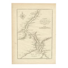
1750 Bellin Map of the Red River (Tonkin River) and Hanoi, Vietnam

1750 Bellin Map of the Red River (Tonkin River) and Hanoi, Vietnam

Located in Langweer, NL

Notable features include Île de la Potterie, referring to a location known for ceramic production, and various sandbanks and fortified locations along the river. A decorative comp...

Category

1750s Compass Rose Antique

Materials

Paper
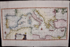
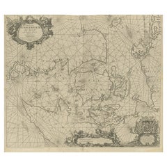
Nautical Chart of Skagerrak and Øresund by Johannes van Keulen, 1680

Nautical Chart of Skagerrak and Øresund by Johannes van Keulen, 1680

Located in Langweer, NL

The map is detailed with numerous compass roses and rhumb lines, which helped navigators plot courses between various ports and islands in the region.

Category

Late 17th Century Dutch Compass Rose Antique

Materials

Paper
Road Map No43 London to Kings Lynn, Royston to Downham, John Ogilby, Britannia

Road Map No43 London to Kings Lynn, Royston to Downham, John Ogilby, Britannia

By John Ogilby

Located in BUNGAY, SUFFOLK

Another important requirement was to denote the changes in direction of the roads, which is shown by compass roses, to overcome the schematic design. Similarly, the compass direction...
Category

Late 17th Century British Charles II Compass Rose Antique

Materials

Paper
Road Map Britannia 1675/6 No 5 Road London to Barwick, London Stilton Grey Frame

Road Map Britannia 1675/6 No 5 Road London to Barwick, London Stilton Grey Frame

By John Ogilby

Located in BUNGAY, SUFFOLK

Another important requirement was to denote the changes in direction of the roads, which is shown by compass roses, to overcome the schematic design. Similarly, the compass direction...

Category

Late 17th Century British Charles II Compass Rose Antique

Materials

Paper

Road Map Britannia No 32 the Road from London to Barnstable John Ogilby Framed

Road Map Britannia No 32 the Road from London to Barnstable John Ogilby Framed

By John Ogilby

Located in BUNGAY, SUFFOLK

Another important requirement was to denote the changes in direction of the roads, which is shown by compass roses, to overcome the schematic design. Similarly, the compass direction...

Category

Late 17th Century English Charles II Compass Rose Antique

Materials

Paper
Road Map Britannia No 25 London to the Lands End, John Ogilby Brown Gilded Frame

Road Map Britannia No 25 London to the Lands End, John Ogilby Brown Gilded Frame

By John Ogilby

Located in BUNGAY, SUFFOLK

Another important requirement was to denote the changes in direction of the roads, which is shown by compass roses, to overcome the schematic design. Similarly, the compass direction...

Category

Late 17th Century British Charles II Compass Rose Antique

Materials

Paper
  • 1
Get Updated with New Arrivals
Save "Compass Rose Antique", and we’ll notify you when there are new listings in this category.

Compass Rose Antique For Sale on 1stDibs

Choose from an assortment of styles, material and more with respect to the compass rose antique you’re looking for at 1stDibs. Frequently made of paper, boxwood and hardwood, every compass rose antique was constructed with great care. Your living room may not be complete without a compass rose antique — find older editions for sale from the 18th Century and newer versions made as recently as the 19th Century. When you’re browsing for the right compass rose antique, those designed in Georgian and Folk Art styles are of considerable interest.
How Much is a Compass Rose Antique?

A compass rose antique can differ in price owing to various characteristics — the average selling price 1stDibs is $1,150, while the lowest priced sells for $278 and the highest can go for as much as $12,250.