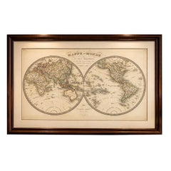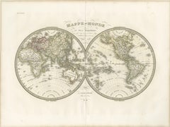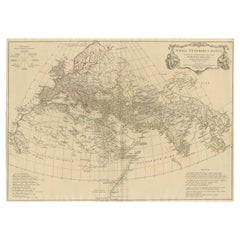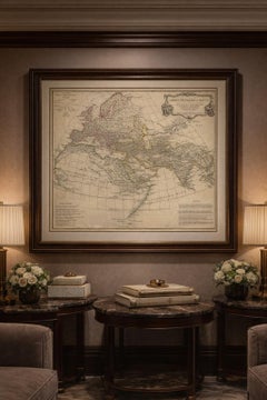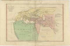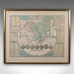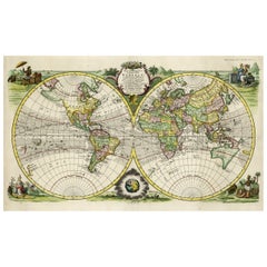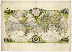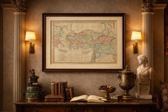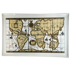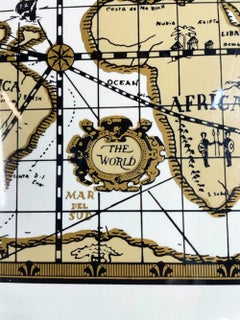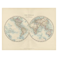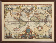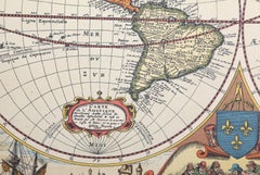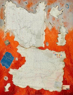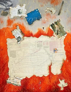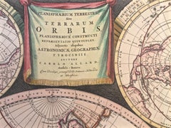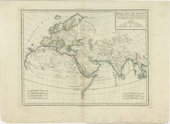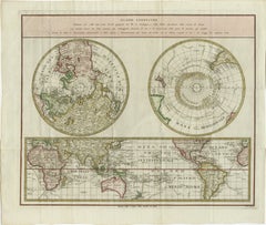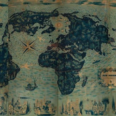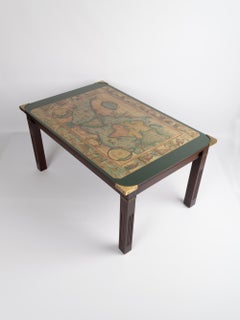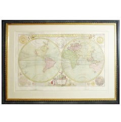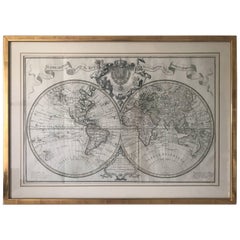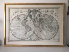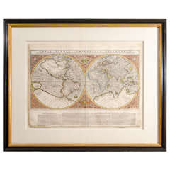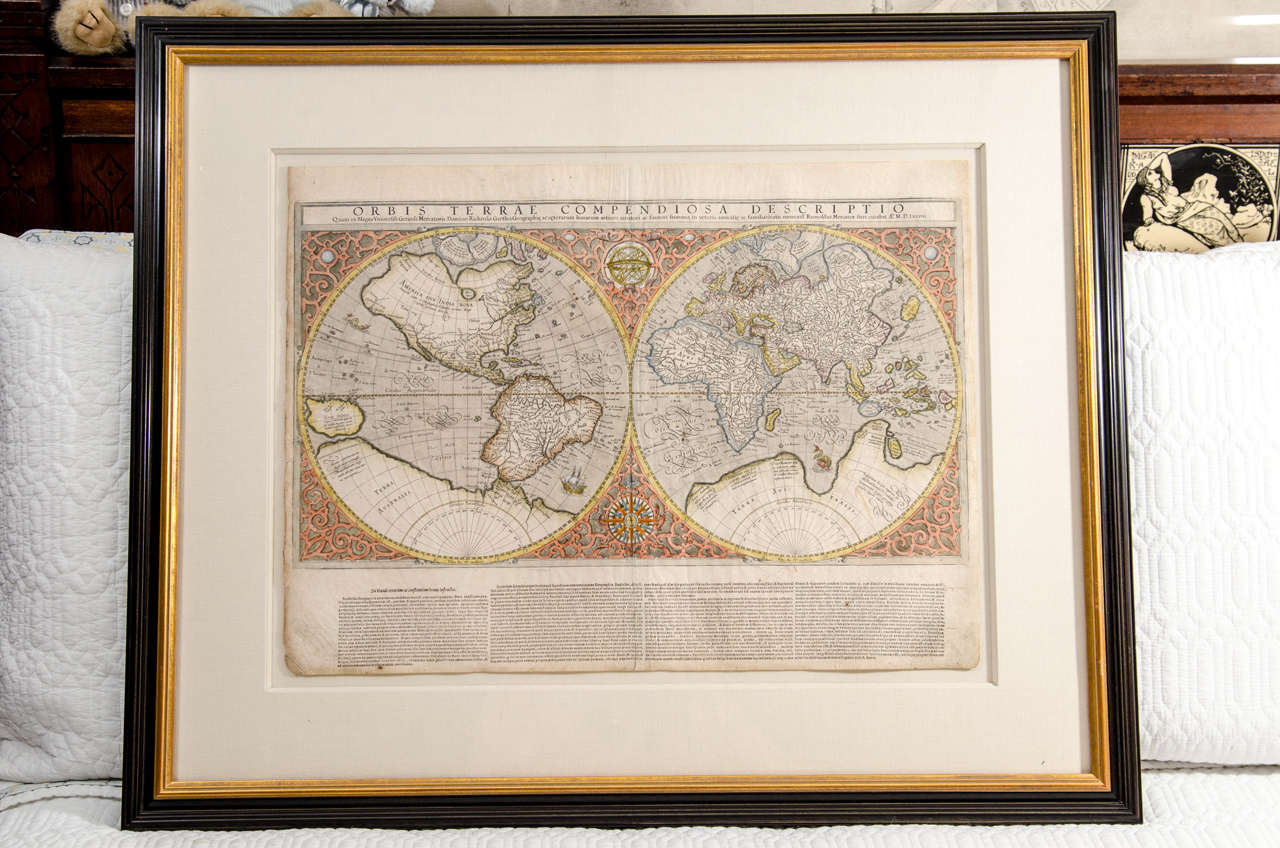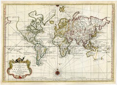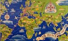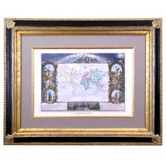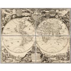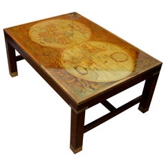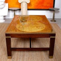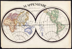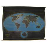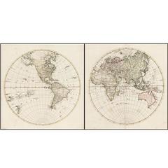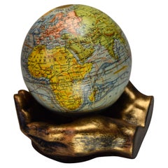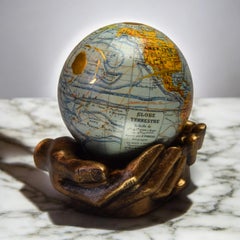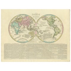
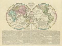
Antique World Map by Lesage, 1823
Located in Langweer, NL
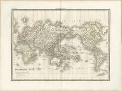
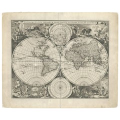
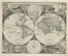
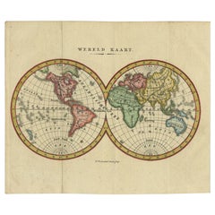
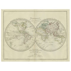
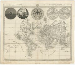
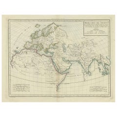
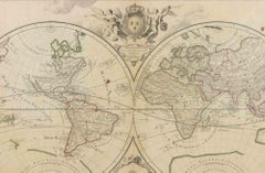
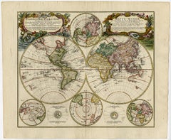
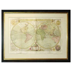
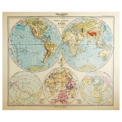
Antique world map titled 'Mappe Monde Historique'. The map depicts both the Eastern and Western Hemispheres, with the hemispheres meeting in the middle of the Pacific Ocean near the ...
Category
Antique Early 19th Century Maps
Materials
Paper