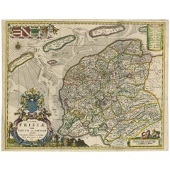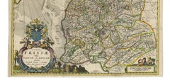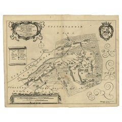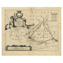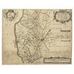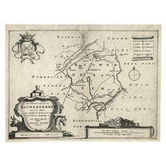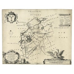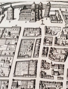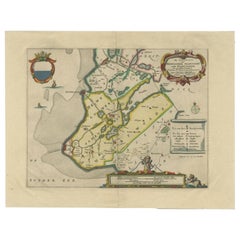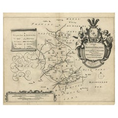

Antique Map of the Region of Hennaarderadeel by Schotanus, 1664
By B. Schotanus
Located in Langweer, NL
Antique map titled 'De Grietenije van Hennaerdera deel (..)'. Map of the Grietenij of Hennaarderadeel, Friesland, The Netherlands. Multiple cartouches, key and coat of arms. Originat...
Category
17th Century Antique B Schotanus
Materials
Paper