Entertainment Art

to
23
225
184
106
49
39
Overall Width
to
Overall Height
to
183
150
197
73
2
2
6
20
49
36
16
26
8
12
67
209
66
20
5
4
3
2
2
1
1
1
389
200
14
603
155,513
81,788
50,942
42,614
37,374
35,790
30,714
27,153
25,475
25,002
21,013
18,265
15,939
14,631
14,027
13,413
11,450
10,782
10,360
183
182
147
114
47
29
28
25
18
18
34
320
421
149
Art Subject: Entertainment
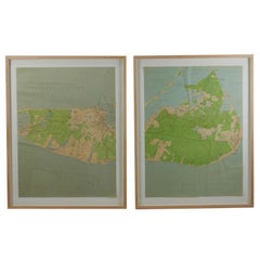
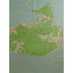
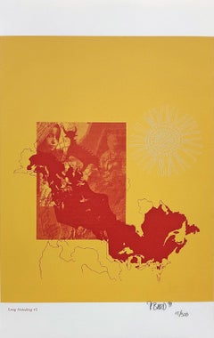
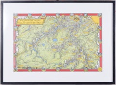
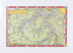
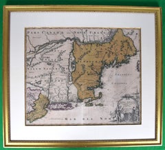
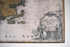
Maps of Nantucket Sound and Harbor Provenance: The Susie Hilfiger Collection

Maps of Nantucket Sound and Harbor Provenance: The Susie Hilfiger Collection

Located in Bristol, CT

Map Sz: 22 1/2"H x 17"W Frame Sz: 26 1/2"H x 20 3/4"W *w/ age toning/ slight creasing/ waving to mounted maps* Provenance: The Susie Hilfiger Collection From "Point of View", the...

Category

20th Century Drawings and Watercolor Paintings

Materials

Paper

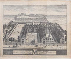
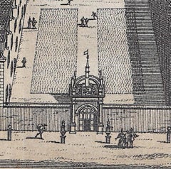
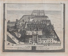
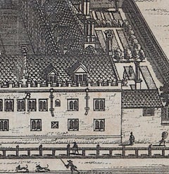
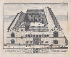
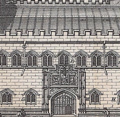
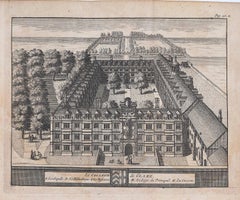
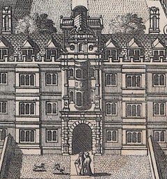
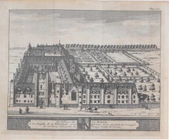
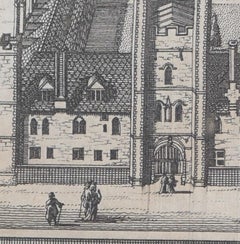
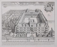
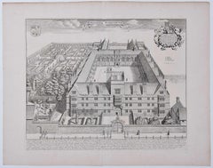
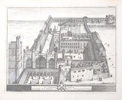
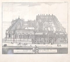
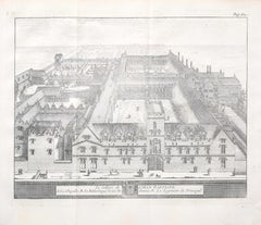
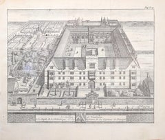
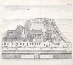
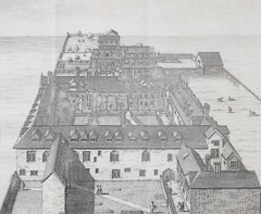
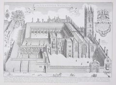
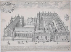
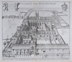
Wadham College, Oxford 1675 engraving by David Loggan

Wadham College, Oxford 1675 engraving by David Loggan

By David Loggan

Located in London, GB

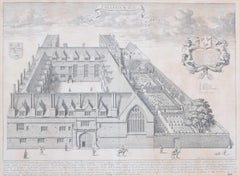
To see our other views of Oxford and Cambridge, scroll down to "More from this Seller" and below it click on "See all from this seller" - or send us a message if you cannot find the view you want. David Loggan (1634 - 1692) Wadham College, Oxford (1675) Engraving 32 x 41 cm Loggan's view of Wadham from the 'Oxonia Illustrata'. Loggan was born to English and Scottish parents, and was baptised in Danzig in 1634. After studying engraving in Danzig with Willem Hondius (1598-1652 or 1658), he moved to London in the late 1650s, going on to produce the engraved title-page for the folio 1662 Book of Common Prayer. He married in 1663 and moved to Nuffield in Oxfordshire in 1665. Loggan was appointed Public Sculptor to the nearby University of Oxford in the late 1660s, having been commissioned to produce bird’s-eye views of all the Oxford colleges. He lived in Holywell Street as he did this. The 'Oxonia Illustrata' was published in 1675, with the help of Robert White (1645-1704). Following its completion, Loggan began work on his equivalent work for Cambridge; the 'Cantabrigia Illustrata' was finally published in 1690, when he was made engraver to Cambridge University. The 'Oxonia Illustrata' also includes an engraving of Winchester College (Winchester and New College share William of Wykeham as their founder) whilst the 'Cantabrigia Illustrata' includes one of Eton College (which shares its founder, Henry VIII, with King’s College). Bird’s-eye views from this era required a particular talent as an architectural perspectivist; it was not until 1783 that it became possible for artists to ascend via hot air balloons and view the scenes they were depicting from above. Loggan thus had to rely on his imagination in conceiving the views. Loggan’s views constitute the first accurate depictions of the two Universities, in many ways unchanged today. Whilst the Oxford engravings were produced in reasonable numbers and ran to a second edition by Henry Overton (on thicker paper and with a plate number in Roman numerals in the bottom right-hand corner), those of Cambridge were printed in much smaller numbers. The Dutchman...

Category

1670s Realist Landscape Prints

Materials

Engraving

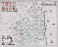
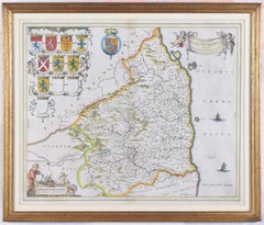
Map of Northumberland by Joannem Janssonium 17th century

Map of Northumberland by Joannem Janssonium 17th century

Located in London, GB

To see our other original maps, scroll down to "More from this Seller" and below it click on "See all from this Seller" - or send us a message if you cannot find the poster you want....

Category

1640s Landscape Prints

Materials

Engraving

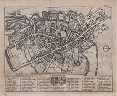
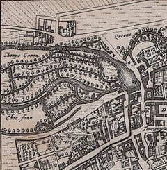
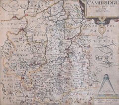
Map of Cambridge 18th century engraving by Sutton Nichols

Map of Cambridge 18th century engraving by Sutton Nichols

Located in London, GB

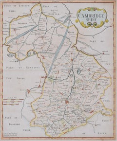
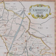
To see more, scroll down to "More from this Seller" and below it click on "See all from this Seller." Sutton Nichols (1668 - 1729) Map of Cambridgeshire Engraving 43 x 36 cm Signed in plate lower left. A beautifully coloured 18th century map engraving of Cambridgeshire. The map was produced by Robert Morden for publication in Edward Gibson's 1695 translation of William Camden's Britannia, a topographical and historical survey of Great Britain and Ireland produced to "restore antiquity to Britaine, and Britain to his antiquity" - a most noble aim. William Camden (1551 - 1623) was an English antiquarian, historian, topographer, and herald, best known as the author of Britannia, the first chorographical survey of the islands of Great Britain and Ireland, and the Annales, the first detailed historical account of the Queen...

Category

18th Century Landscape Prints

Materials

Engraving

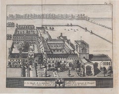
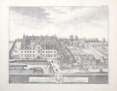
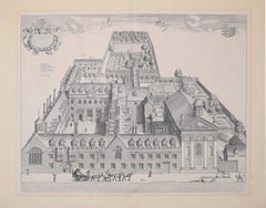
Jesus College, Oxford engraving by David Loggan

Jesus College, Oxford engraving by David Loggan

By David Loggan

Located in London, GB

To see our other views of Oxford and Cambridge, scroll down to "More from this Seller" and below it click on "See all from this Seller" - or send us a message if you cannot find the view you want. David Loggan (1634 - 1692) Jesus College...

Category

17th Century Prints and Multiples

Materials

Engraving, Etching

Map of the North of Scotland 17th century hand-coloured map by Gerardus Mercator

Map of the North of Scotland 17th century hand-coloured map by Gerardus Mercator

Located in London, GB

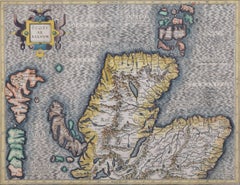
Gerardus Mercator (1512 - 1594) Map of the North of Scotland (1683) Engraving with later hand colouring 35 x 45 cm A fantastically characterful and detailed map engraving of the North of Scotland from 1683. The highly detailed and beautifully coloured map is inscribed to the reverse with a description of the parts of Scotland illustrated, called the 'Troisieme Table d'Escosse'. The map comes from the 1683 French edition of Gerardus Mercator's Atlas Major, which was first published in 1585. Gerardus Mercator was the Flemish father of mapmaking. He was a skilled geographer, cosmographer and cartographer and is most renowned for creating the 1569 world map based on a new projection which represented sailing courses of constant bearing (rhumb lines) as straight lines - an innovation that is still employed in today's nautical charts. Mercator was a highly influential pioneer in the history of cartography and is generally considered one of the founders of the Netherlandish school of cartography and geography. He is also widely considered the most notable figure of the school. In his own day, he was a notable maker of globes and scientific instruments. In addition, he had interests in theology, philosophy, history, mathematics and geomagnetism. He was also an accomplished engraver and calligrapher. Unlike other great scholars of the age, he travelled little and his knowledge of geography came from his library of over a thousand books and maps, from his visitors and from his vast correspondence (in six languages) with other scholars, statesmen, travellers, merchants and seamen. Mercator's early maps were in large formats suitable for wall mounting but in the second half of his life, he produced over 100 new regional maps in a smaller format suitable for binding into his Atlas of 1595. This was the first appearance of the word Atlas in reference to a book of maps...

Category

1680s Prints and Multiples

Materials

Engraving

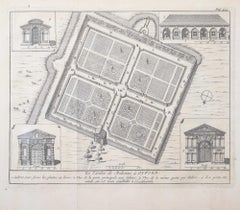
University of Oxford Botanic Garden by Pieter van der Aa after David Loggan

University of Oxford Botanic Garden by Pieter van der Aa after David Loggan

By Pieter Van Der Aa

Located in London, GB

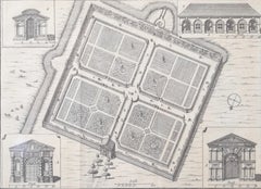
Pieter van der Aa (1659-1733), after David Loggan (1634–1692) The University of Oxford Botanic Garden Engraving 12 x 16 cm An eighteenth-century view of one of Oxford's dreamiest spaces: the Botanic Garden, engraved by Pieter van der Aa after David Loggan, the noted engraver, draughtsman, and painter. The University of Oxford Botanic Garden was founded in 1621 and is the oldest botanical garden in Great Britain. van der Aa's engraving focuses on its architectural qualities, with four features of the garden highlighted for their beauty, symmetry, and prowess of design. Of particular interest in this etching are the four trompe l'oeil pieces of gently curling paper which frame the gates of the garden. The Danby Gate (bottom left) at the front entrance to the garden is one of the three entrances designed by Nicholas Stone...

Category

Early 18th Century Realist Prints and Multiples

Materials

Engraving

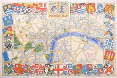
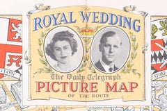
Royal Wedding Queen Elizabeth II Prince Philip 1947 London map Daily Telegraph

Royal Wedding Queen Elizabeth II Prince Philip 1947 London map Daily Telegraph

Located in London, GB

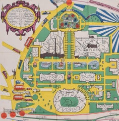
To see more, scroll down to "More from this Seller" and below it click on "See all from this Seller." N. V. Gray The Royal Wedding: Picture Map of the Route through London (1947) Lithograph 50 x 76 cm Produced by H.A. & W.L. Pitkin Ltd for the Daily Telegraph and published by Geographia Ltd., of Hutchinson & Co. Signed in plate lower right. Complete with slip showing the genealogy of the two parties. Princess Elizabeth (later Her Majesty Queen Elizabeth II) and Prince Philip...

Category

1940s Modern Prints and Multiples

Materials

Lithograph

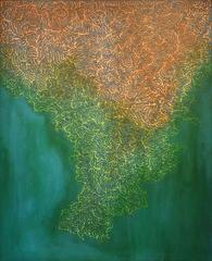
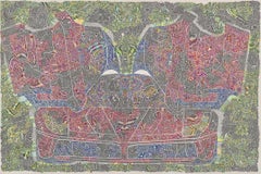
Motherland Revisited

Motherland Revisited

By Jeffrey Pitt

Located in New Orleans, LA

Jeffrey Pitt’s intricate paintings evolved out of the artist’s desire to interpret culture based on artistic and ceremonial expression. With a B.A. in Anthropology, Pitt has a great ...

Category

21st Century and Contemporary Abstract Paintings

Materials

Acrylic, Canvas, Oil

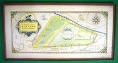
"Chart Of The Aintree Race Course" 1930 Hand-Coloured & Signed By The Artist

"Chart Of The Aintree Race Course" 1930 Hand-Coloured & Signed By The Artist

Located in Bristol, CT

Art Sz: 12"H x 24 3/4"W Frame Sz: 13 1/4"H x 25 7/8"W Hand-coloured by the artist The cornerstone of the Aintree Race Course was first laid in 1829, and the first Grand National took place shortly thereafter, in 1836. This map, published nearly 100 years later, shows little has changed in the intervening century, except for the prize purse which now fetches over 1 million pounds. The two mile course boasts 30 fences, individually numbered, the race consists of two laps . Ditches and water features provide additional obstacles and more accurately depict the environment encountered on “the hunt.” This map was drawn by prolific pictorial artist George Annand. Only 2 copies found in the OCLC – at Temple University and Yale. George Annand (June 9, 1890 - September, 1980) was an American graphic artist and cartographer active in New York during the middle part of the 20th century. Annand was born in Croswell, Michigan, the sun of a Scottish immigrant doctor who immigrated to the United States via Canada. He received his early education at a one-room schoolhouse in Croswell before he and his parents relocated to Detroit. It was in Detroit that Annand was first introduced to the arts, enrolling in Art School. Later, as a young man, Annand move to New. York City, where he continued his artistic studies at the Art Students League. In 1920 he married a childhood friend, Elizabeth Sinclair, who had been widowed during World War I. He adopted Elizabeth's two children and she and Annand shortly thereafter became pregnant with a third child. With a family to support and another bun in the oven Annand turned to the booming New York advertising industry, taking work with the National Biscuit...

Category

1930s Prints and Multiples

Materials

Paper, Lithograph

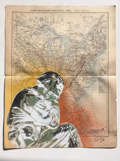
American Contemporary Art by Michael Alan - The Traveler

American Contemporary Art by Michael Alan - The Traveler

By Michael Alan

Located in Paris, IDF

Marker, paint, mixed media, collage on watercolor paper Michael Alan is an American artist born in 1977 who lives & works in New York, USA. As a multidisciplinary artist. His work ...

Category

2010s Contemporary Animal Drawings and Watercolors

Materials

Paper, Mixed Media, Watercolor, Permanent Marker, Pen, Pencil

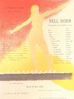
Nell Horn. Program pour Le Theatre Libre. Saison 1980-91.  May 25 1891

Nell Horn. Program pour Le Theatre Libre. Saison 1980-91. May 25 1891

By Alexandre Charpentier

Located in New York, NY

Embossing (gaufrage) with typographical color printing. Fine impression with good embossing on simili-japon paper, printed to the edges of the sheet (as issued). The combination of techniqes is unusual and may be unique. Ref: Artistes et Theatre d'Avant-Garde Programmes illustres Paris 1890-1900 Aitken p 22 pl 11; Artists and the Avant-Garde Theatre in Paris 1887-1890 Boyer p.44 pl 9. Alexandre Charpentier was French sculptor, medalist, craftsman, and cabinet-maker. He experimented with a wide variety of formats and materials—tin, marble, wood, leather, and terra cotta work, the latter executed by ceramic artisan Emile Müller...

Category

1890s Art Nouveau Figurative Prints

Materials

Lithograph
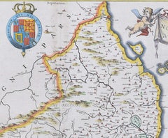
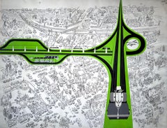
Mid Century Expressway Proposal Over Norman Rockwell Town

Mid Century Expressway Proposal Over Norman Rockwell Town

By Richard Erdoes

Located in Miami, FL

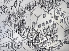
Artist Richard Erdoes is as undervalued as he is overlooked. Rarely does an artwork come on that market that combines sharp-witted originality with mind-boggling technical proficiency. In “Mid-Century Expressway,” Erodes painstakingly draws a birds-eye view of a Norman Rockwell-like town buzzing with activity. He paints far away and close up in one image. Each block has its own charming Americana story unfolding. The closer the viewer gets to each scene, the more detail is revealed. In black and white, the artist describes not only the architecture and infrastructure but also human activity - lot's of it. Erodes’s congested town is humming. Overflowing trains, packed busses, zooming cars, stuffed trucks, frenzied pedestrians and even a marching band is depicted with great whit. But do not worry. Progress is coming and all will be well. Superimposed onto this black and white clogged urban scene is a proposed new highway. It's painted in a punchy green and creates an unexpectedly distinct design. The artwork was most likely done for Fortune Magazine or the like. Notice he Esso Gasoline signs...

Category

1950s Minimalist Landscape Paintings

Materials

Paper, Ink, Gouache, Pen

Man Becomes His Work - Cartoon

Man Becomes His Work - Cartoon

By Gahan Wilson

Located in Miami, FL

This is one of many cartoons by Gahan Wilson where the subject morphs into the identity of his work. "Wish Not to Be Disturbed for the Duration of Winter - Playboy Cartoon from 1960...

Category

2010s Conceptual Figurative Drawings and Watercolors

Materials

Paper, Watercolor, Ink

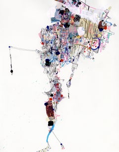
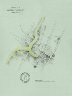
Dissolution Drift (Gowanus)

Dissolution Drift (Gowanus)

By Patricia Smith

Located in New York, NY

Ink, watercolor, pencil, charcoal pencil on paper available framed Known for her idiosyncratic cartographic explorations of the psyche and mental states, Smith incorporates outer...

Category

21st Century and Contemporary Contemporary Landscape Drawings and Waterc...

Materials

Archival Ink, Archival Paper, Charcoal, Graphite, Watercolor

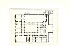
Bridgewater House Plan Of Principal Floor

Bridgewater House Plan Of Principal Floor

Located in Bristol, CT

Print Sz: 7 1/2"H x 10"W Print Sz: 11"H x 14"W Plate 116 C. Barry RA Archt Bridgewater House is a townhouse located at 14 Cleveland Row in the St James's area of London, England....

Category

20th Century Prints and Multiples

Materials

Lithograph
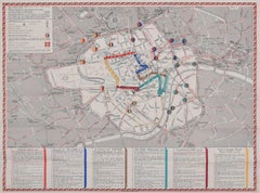
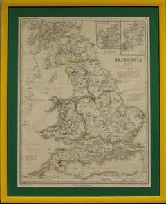
"Britannia"
"Britannia"

"Britannia"

Located in Bristol, CT

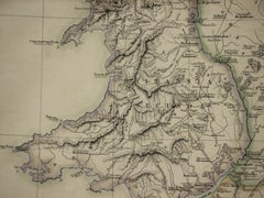
Drawn and engraved by Edw. Weller for Dr William Smith's 'Ancient Atlas' plate No. 10 Map Sz: 22 1/2"H x 17 3/8"W Frame Sz: 27 1/8"H x 22"W

Category

1870s Prints and Multiples

Materials

Paper

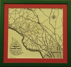
Territory Of The Potomac Hunt

Territory Of The Potomac Hunt

Located in Bristol, CT

Classic map compiled by: C.W. Owen, Jr 1948 of the 'Territory of the Potomac Hunt' Kennels: Travilah, MD Map Sz: 17"H x 18"W Frame Sz: 22"H x 23"W The Potomac Hunt is one of Maryl...

Category

1940s Prints and Multiples

Materials

Lithograph
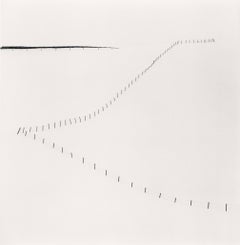
Hillside Fence, Study 6, Teshikaga, Hokkaido, Japan, 2007  - Michael Kenna

Hillside Fence, Study 6, Teshikaga, Hokkaido, Japan, 2007 - Michael Kenna

By Michael Kenna

Located in London, GB

Hillside Fence, Study 6, Teshikaga, Hokkaido, Japan, 2007 - Michael Kenna Signed, dated and numbered 22/45 on mount Signed, dated, inscribed with title and stamped with photographe...
Category

21st Century and Contemporary Black and White Photography

Materials

Silver Gelatin