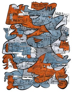
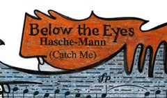
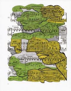
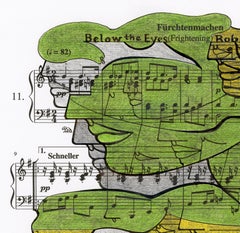
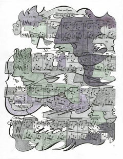
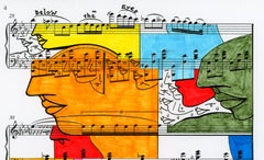
TECHNIQUE PHOTO-PAINTING
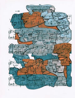
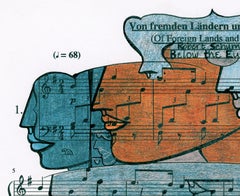
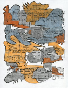
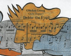
The technique used was defined as PHOTO-PAINTING by the art critic Silvia Pegoraro of Ravenna Italy and was an Artist's invention in 1994. In fact, since 1964 Dario Cusani had been working with photography and painting which had never been united.
The Artist:
"In 1994 I returned to Naples, the city where I was born and had been missing for 10 years after moving to Rome in 1984. I returned to see the MIRACLE achieved by the G7 with the Presidents of the most powerful countries led by Bill Clinton, US President. It was a wonderful visit to my city reborn in its ancient splendor! I took over 5,000 photos of the squares and monuments of Naples with my Nikon. I returned to Rome and had all the photos printed and put them on various tables and assembled all the various pieces. I immediately realized that parts were missing which I completed with paint. A spontaneous gesture with which I had unconsciously achieved a great innovation: I had combined the REALITY of photography with the DREAM represented by painting. Silvia, my muse who knew me well, when I showed her the first work IMPERATING MALE (R:0176) that I had done she said to me: "Dario you have united the TWO WORLDS of your life: that of your childhood with the sensitivity of the dreamer with the concrete one that they gave you taught your parents with education, training (degree in Economic Sciences) and work started at 15 years old in your family's copper industry. These formative years had distanced myself from those of childhood when I studied the piano and dreamed of becoming an orchestra conductor. I also drew and painted with my imagination in search of the affections I was missing as my parents were busy in the factory rebuilding Italy destroyed by the recently ended war. I then refined PHOTO-PAINTING which developed into DIGITAL PROCESSING having replaced the BRUSH with the MOUSE to fill the gaps left by the photography and complete the REALITY which with painting became another FANTASTIC reality"
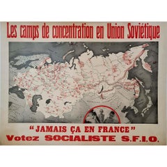
SOCIAL RESEARCH
This work is part of the SOCIAL "research" which addresses issues that concern people and the "polis" which in Latin means city but also "political model".
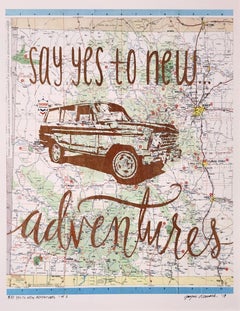
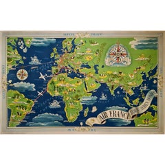
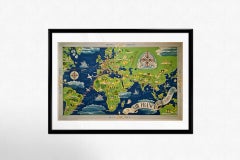
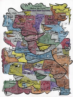
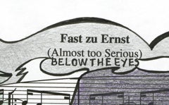
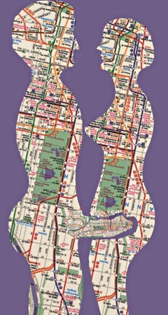
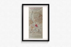
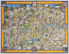
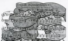
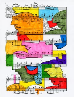
I LOVE MANHATTAN
In 1999 I was invited to have an exhibition at the Casa Italiana Zerilli Marimò in New York scheduled for September 2000. So I went to the BIG APPLE for the first time at the age of 50 and was amazed by the great vital energy I felt. Until then I had traveled abroad little because I was busy with studies, sports and already at 19 years old in my family's copper industry and after a few years also with my children who I had looked after a lot since they came into the world.
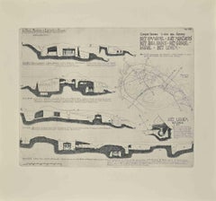
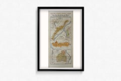
In NY I took many photos, but this work was born from another image: the map of the phantasmagoric subway!!! It was simple for me, since I was a child I looked at the clouds where I saw many shapes of people, animals etc. I saw at first sight the prow of a Jumbo, the famous giant of the skies, and sketched some sketches.
Upon returning to Rome I was in love with NY and it was easy to see in that map another image that is closely linked to love. The male penis...
Category
Early 2000s Contemporary Figurative Paintings