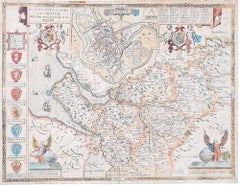
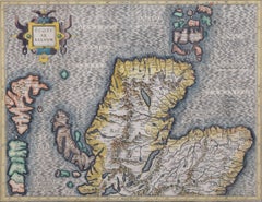
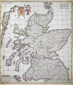
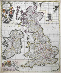
Gerardus Mercator (1512 - 1594)
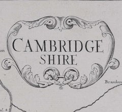
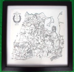
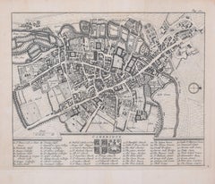
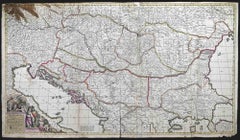
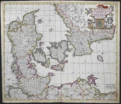
Map of the North of Scotland (1683)
Engraving with later hand colouring
35 x 45 cm
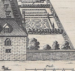
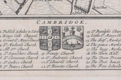
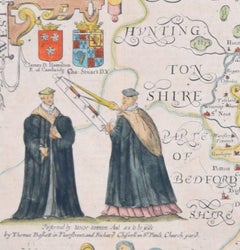
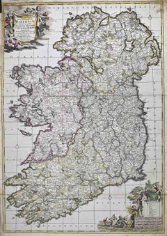
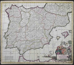
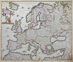
A fantastically characterful and detailed map engraving of the North of Scotland from 1683. The highly detailed and beautifully coloured map is inscribed to the reverse with a description of the parts of Scotland illustrated, called the 'Troisieme Table d'Escosse'. The map comes from the 1683 French edition of Gerardus Mercator's Atlas Major, which was first published in 1585.
Gerardus Mercator was the Flemish father of mapmaking. He was a skilled geographer, cosmographer and cartographer and is most renowned for creating the 1569 world map based on a new projection which represented sailing courses of constant bearing (rhumb lines) as straight lines - an innovation that is still employed in today's nautical charts.
Mercator was a highly influential pioneer in the history of cartography and is generally considered one of the founders of the Netherlandish school of cartography and geography. He is also widely considered the most notable figure of the school. In his own day, he was a notable maker of globes and scientific instruments. In addition, he had interests in theology, philosophy, history, mathematics and geomagnetism. He was also an accomplished engraver and calligrapher. Unlike other great scholars of the age, he travelled little and his knowledge of geography came from his library of over a thousand books and maps, from his visitors and from his vast correspondence (in six languages) with other scholars, statesmen, travellers, merchants and seamen. Mercator's early maps were in large formats suitable for wall mounting but in the second half of his life, he produced over 100 new regional maps in a smaller format suitable for binding into his Atlas of 1595. This was the first appearance of the word Atlas in reference to a book of maps...
Category
1680s Prints and Multiples