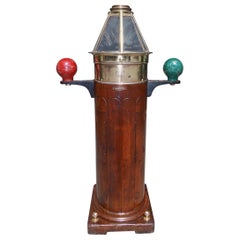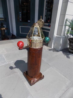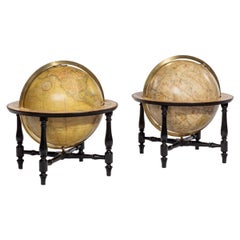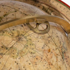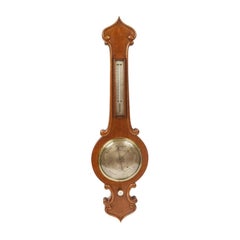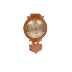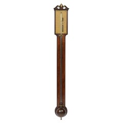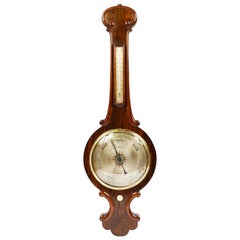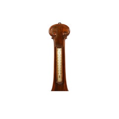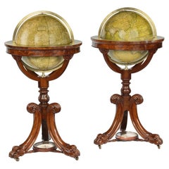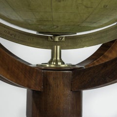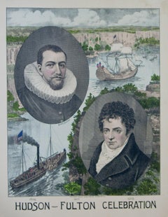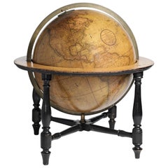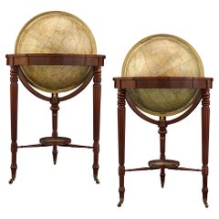
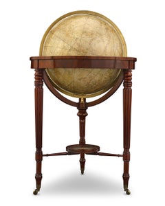
William IV Terrestrial And Celestial Floor Globes By J. W. Cary
By John & William Cary
Located in New Orleans, LA
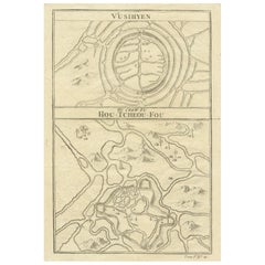
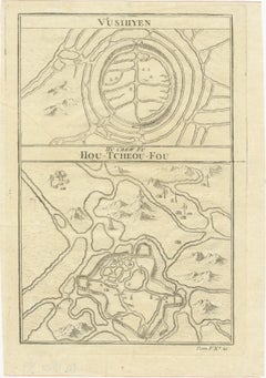
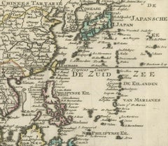
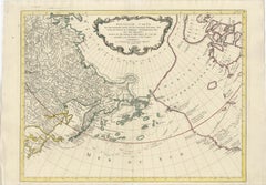
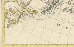
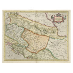
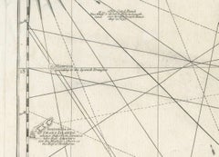
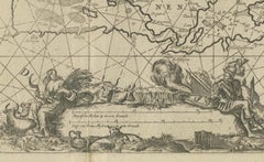
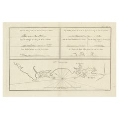
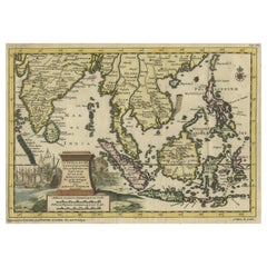
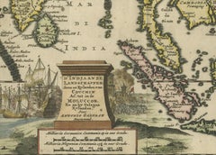
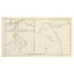
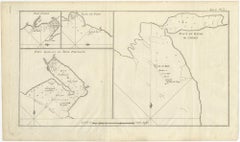
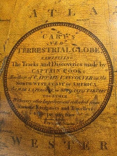
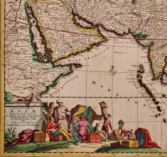
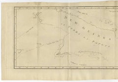
DE LA PEROUSE, on the COAST OF TARTARY, TOGETHER, With every other Improvement collected from Various Navigators to the present time. LONDON: Made & Sold by J & W.
Category
19th Century English Regency Antique Navigator
Materials
Mahogany