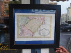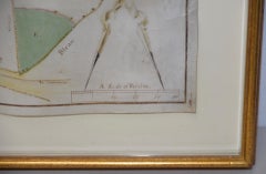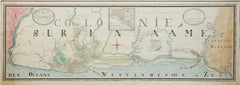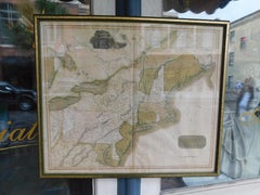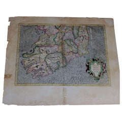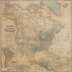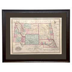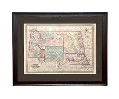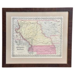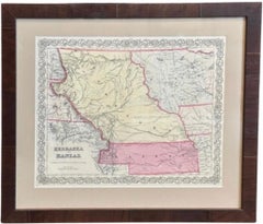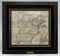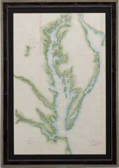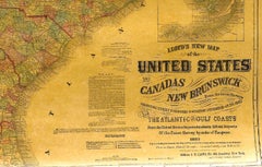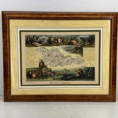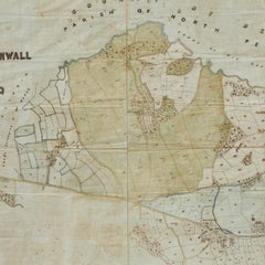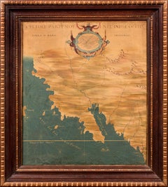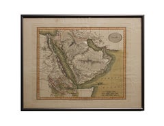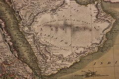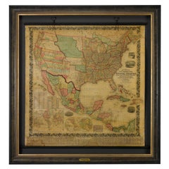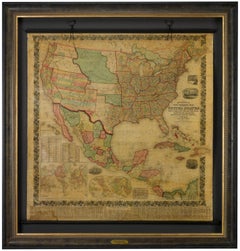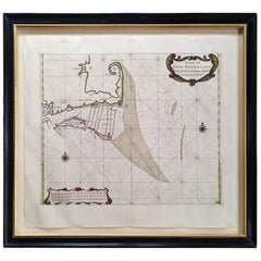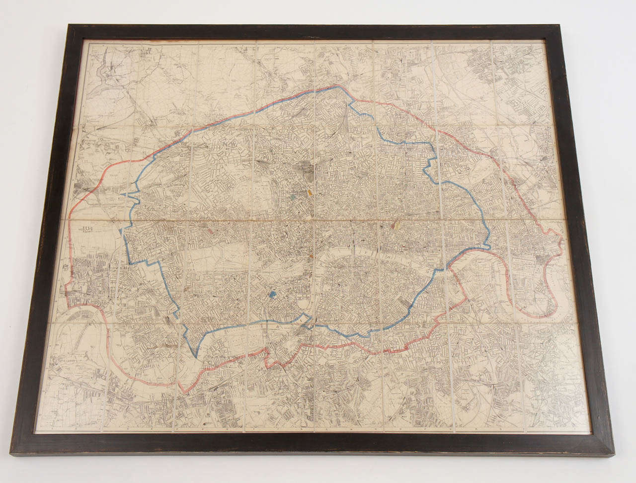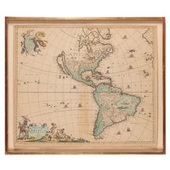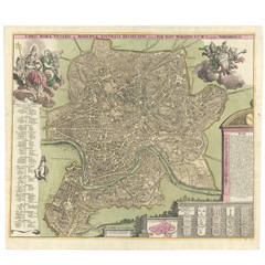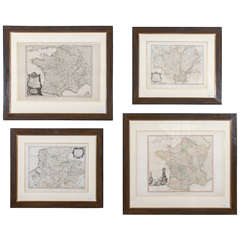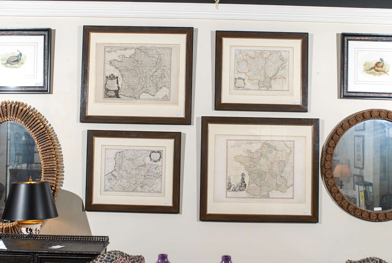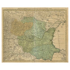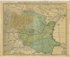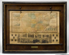
1845 "Ensign's Travellers' Guide and Map of the United States" Hand-Colored Map
$12,500
H 41.5 in W 52.5 in D 4 in
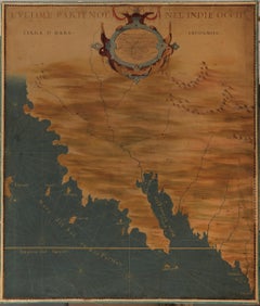
1845 "Ensign's Travellers' Guide and Map of the United States" Hand-Colored Map
Located in Colorado Springs, CO
watercolor wash. Title of this hand-colored map reads "Ensign's Travellers' Guide and Map of the United
Category
1840s American Victorian Hand Painted Antique Map
Materials
Paper