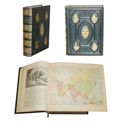
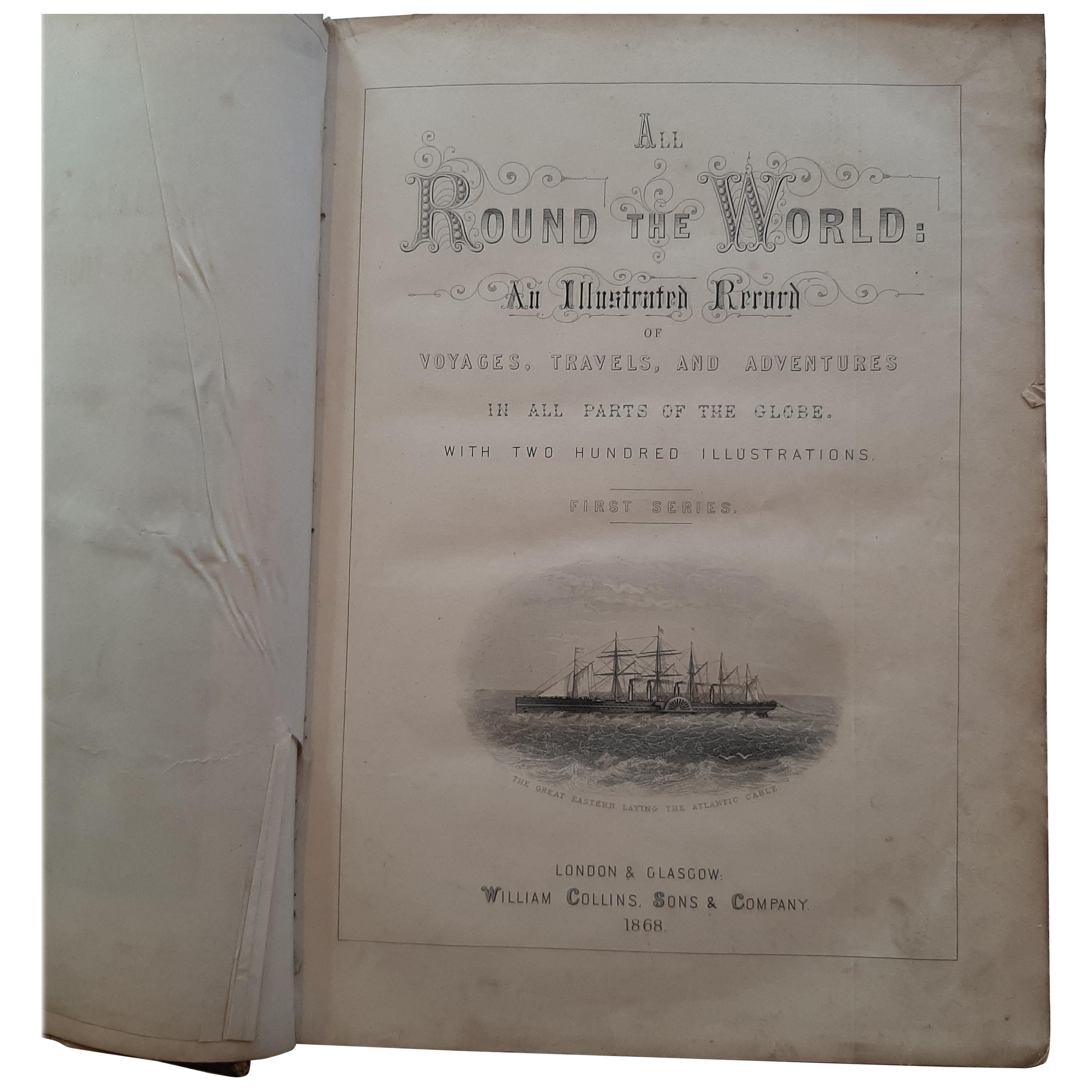
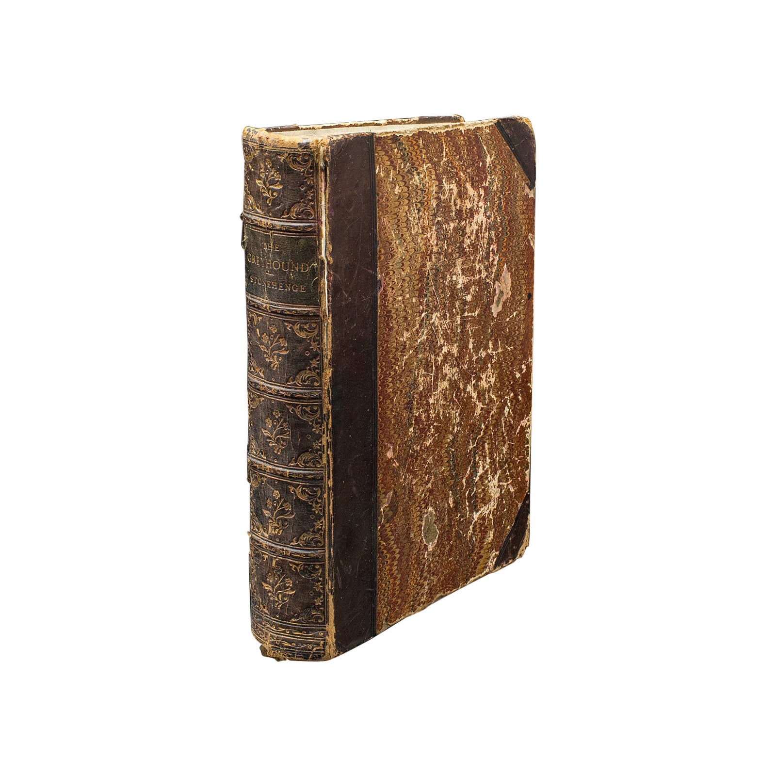
ANTIQUE 1868 ILLUSTRATED ALL ROUND THE WORLD BOOK INCLUDING HAND PAINTED MAPs
View Similar Items


Want more images or videos?
Request additional images or videos from the seller
1 of 21
ANTIQUE 1868 ILLUSTRATED ALL ROUND THE WORLD BOOK INCLUDING HAND PAINTED MAPs
About the Item
- Creator:William Collins (Author)
- Dimensions:Height: 12.01 in (30.5 cm)Width: 8.86 in (22.5 cm)Depth: 2.96 in (7.5 cm)
- Style:High Victorian (Of the Period)
- Materials and Techniques:
- Place of Origin:
- Period:
- Date of Manufacture:1868
- Condition:Wear consistent with age and use. Minor fading.
- Seller Location:GB
- Reference Number:1stDibs: LU2823335531192
About the Seller
4.6
Platinum Seller
These expertly vetted sellers are 1stDibs' most experienced sellers and are rated highest by our customers.
Established in 2012
1stDibs seller since 2017
1,712 sales on 1stDibs
More From This SellerView All
- Fine French Antique 1856 Hand Watercolour Map of Dept Des Hautes PyreneesLocated in GBWe are delighted to offer for sale this stunning 1856 hand watercolour map of the Austrian Alps titled Dept Des Hautes Pyrenees taken from the Atlas Nat...Category
Antique 1850s French Early Victorian Maps
MaterialsPaper
- Vintage World Map Mirror Based on the Original by Johnson 1882 Military CampaignLocated in GBWe are delighted to offer for sale this lovely Antique style pictorial plan map of the globe based on the original by Johnson in 1882 This is a very interesting and decorative pie...Category
20th Century English Campaign Maps
MaterialsMirror
- Staffordshire 1645 Hand Colored Antique Print Staffordiensis Comitatvs MapLocated in GBWe are delighted to offer for sale this lovely antique Atlas page map of Staffordshire printed in 1645 Amsterdam Staffordiensis Comitatvs Vulgo This o...Category
Antique Early 1800s English Georgian Maps
MaterialsPaper
- Fine Antique 1856 Hand Watercolour Map of Dept Des Hautes Alpes by Levasseur'sLocated in GBWe are delighted to offer for sale this stunning 1856 hand watercolour map of the Austrian Alps titled Dept Des Hautes Alpes taken from the Atlas National...Category
Antique 1850s French Early Victorian Maps
MaterialsPaper
- Beautiful Colour French Antique 1856 Hand Watercolour Map of Dept Des La CorseLocated in GBWe are delighted to offer for sale this stunning 1856 hand watercolour map of the Austrian Alps titled Dept Des La Course taken from the Atlas National ...Category
Antique 1850s French Early Victorian Maps
MaterialsPaper
- Silver Leaf Foil Wall World Map Engraving Based on the Original Moses Pitt, 1681Located in GBWe are delighted to offer for sale this lovely antique style pictorial silver leaf foil world map taken from and original engraving my Moses Pitt, 1681 This is a very interesting ...Category
20th Century English Modern Maps
MaterialsSilver Leaf


You May Also Like
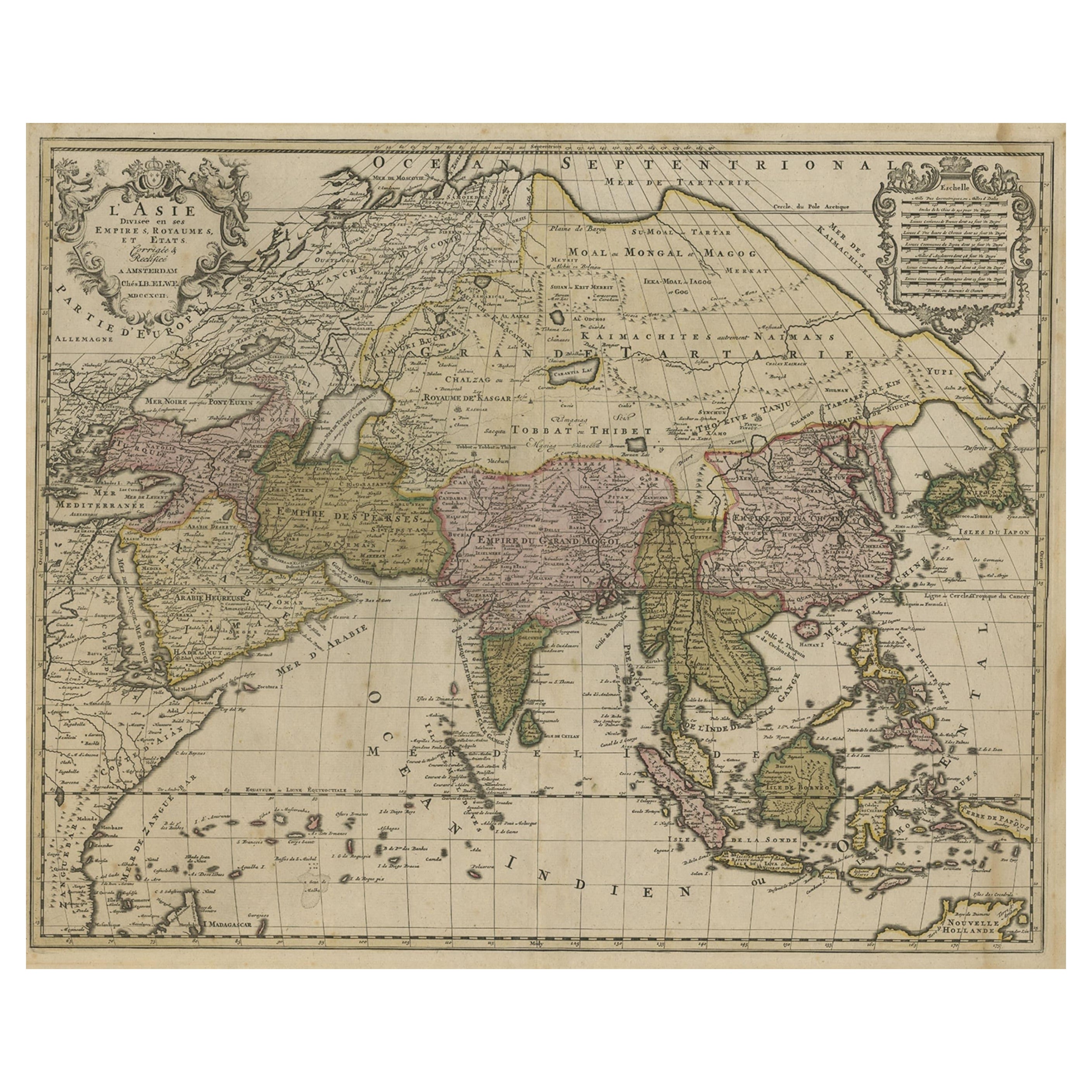
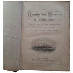
- All Round The World: An Illustrated Record of Voyages by Ainsworth, 1868Located in Langweer, NLAll Round The World: An Illustrated Record of Voyages, Travels, and Adventure in All Parts of the Globe. First Series. With 200 illustrations and 6 finely engraved maps in full colou...Category
Antique Mid-19th Century Books
MaterialsPaper
 $524 Sale Price20% Off
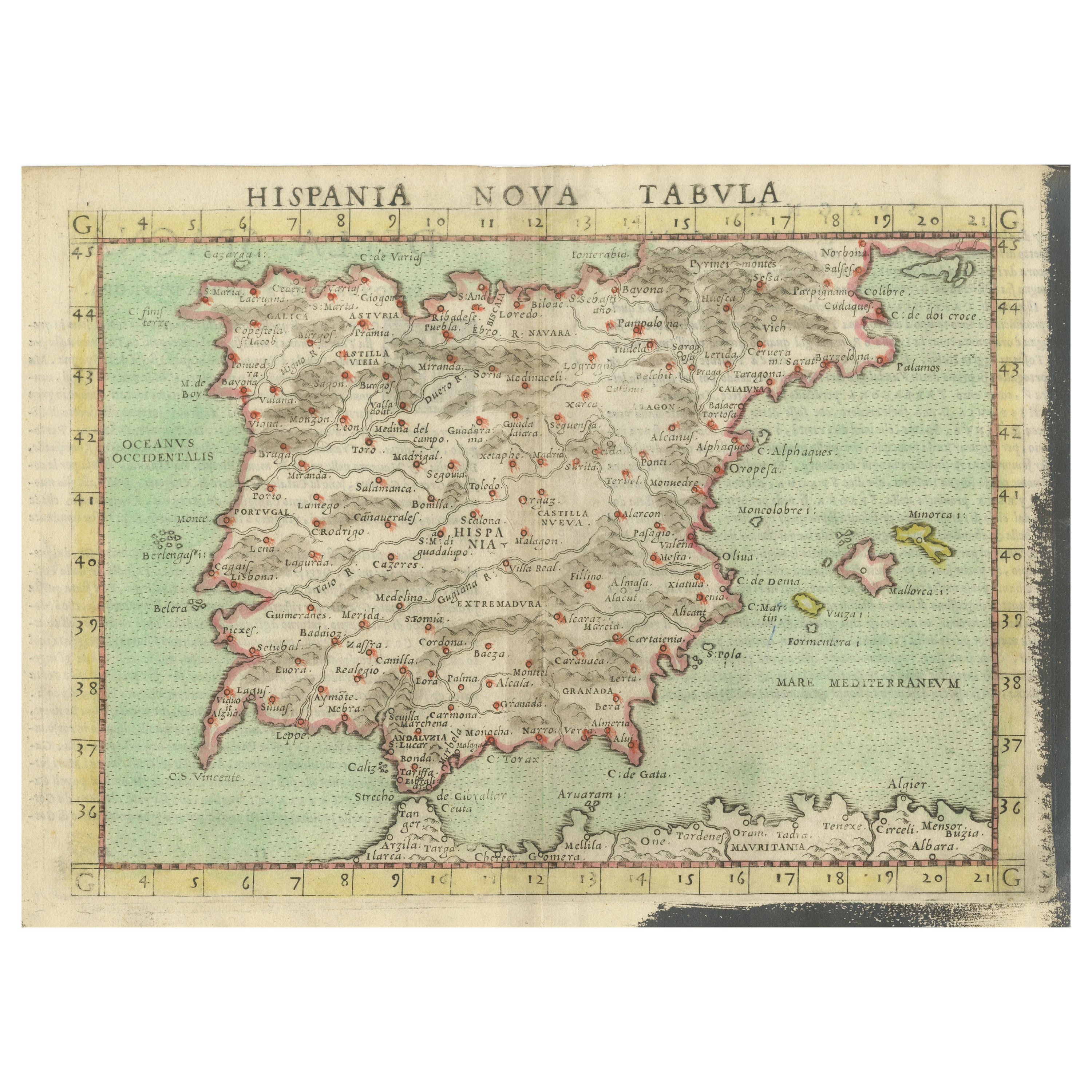
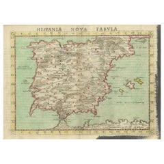
 - Antique Map of Spain including the Balearic IslandsLocated in Langweer, NLAntique map titled 'Hispania Nova Tabula'. Ruscelli's map of Spain, including the Balearic Islands. This map originates from 'Espositione & introduttioni universali di Gir. Ruscelli sopra tutta la Geografia di Tolomeo (..)' published by Girolamo Ruscelli, 1561. Girolamo Ruscelli (1500-1566) was a cartographer, humanist, and scholar from Tuscany. Ruscelli was a prominent writer and editor in his time, writing about a wide variety of topics including the works of Giovanni Boccaccio and Francesco Petrarch, Italian language, Italian poetry, medicine, alchemy, and militia. One of his most notable works was a translation of Ptolemy’s Geographia...Category
Antique 16th Century Maps
MaterialsPaper
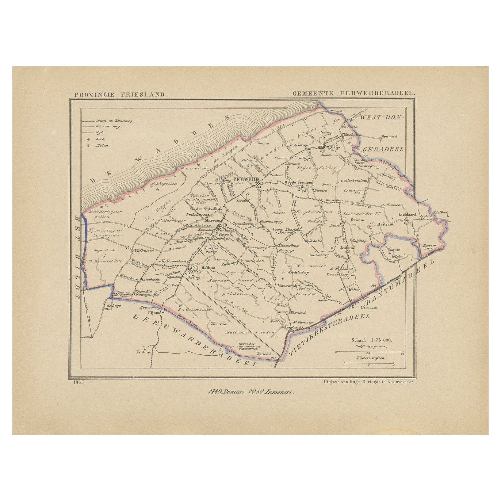
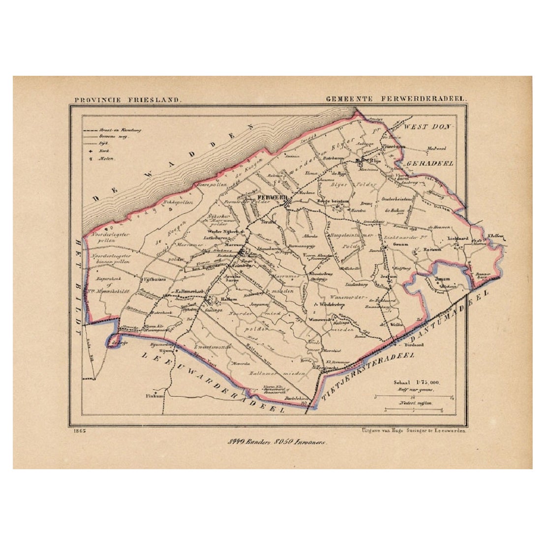
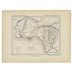
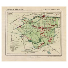
- Antique Map of Ferwerderadeel, Friesland, the Netherlands, 1868Located in Langweer, NLAntique map titled 'Provincie Friesland - Gemeente Ferwerderadeel'. Map of the township of Ferwerderadeel including Ferwerd, Blija and many other villages. This map originates from '...Category
Antique 19th Century Maps
MaterialsPaper
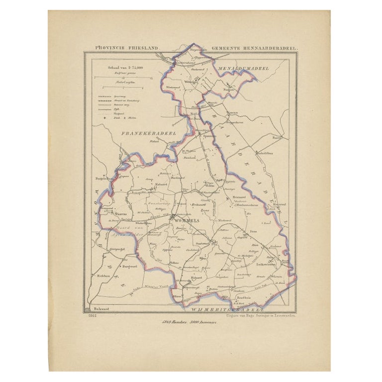
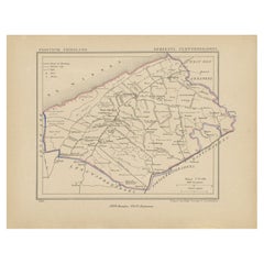
- Antique Map of Hennaarderadeel, Friesland, the Netherlands, 1868Located in Langweer, NLAntique map titled 'Provincie Friesland - Gemeente Hennaarderadeel'. Map of the township of Hennarderadeel including Oosterend, Wommels and many other villages. This map originates f...Category
Antique 19th Century Maps
MaterialsPaper
 $113 Sale Price20% Off
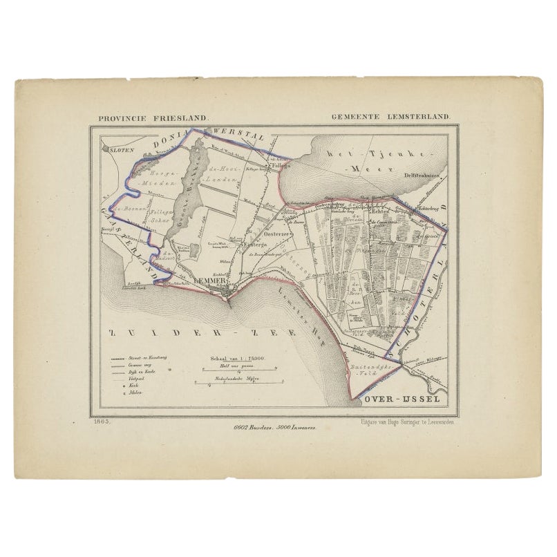
 - Antique Map of Lemsterland in the Netherlands, 1868Located in Langweer, NLAntique map titled 'Provincie Friesland - Gemeente Lemsterland'. Map of the township of Lemsterland including Lemmer, Oosterzee, Echten and many other villages. This map originates...Category
Antique 19th Century Maps
MaterialsPaper
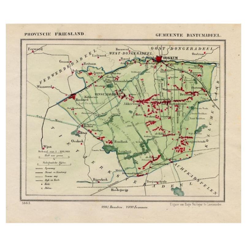
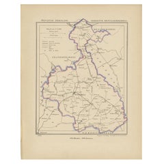
- Antique Map of Dantumadeel, Friesland, The Netherlands, 1868Located in Langweer, NLAntique map titled 'Provincie Friesland - Gemeente Dantumadeel'. Map of the township of Dantumadeel including Birdaard, Rinsumageest, Veenwouden and many other villages. This map ori...Category
Antique 19th Century Maps
MaterialsPaper
Recently Viewed
View AllMore Ways To Browse
Paper Cloth
Tiffany And Co Paper Cup
Tiffany And Co Vision And Virtuosity Book
Tiffany Vision And Virtuosity
Vintage Fishing Reel Collection
Waterworks Hardware
Windows At Tiffanys The Art Of Gene Moore
Winston Churchill War Speeches
Zach Patek Philippe
Zach Tiffany Patek
18th Century German Leather Bound Books
Alastair Duncan On Sale
Amina M
Charles Addams
Chas Addams
Christie's On Sale
Christo Floating Piers
Daniel Boone