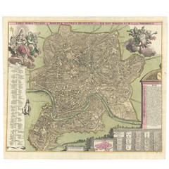
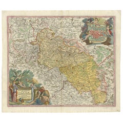
Hand-Colored Map of Rome, circa 1720
View Similar Items


1 of 5
Hand-Colored Map of Rome, circa 1720
About the Item
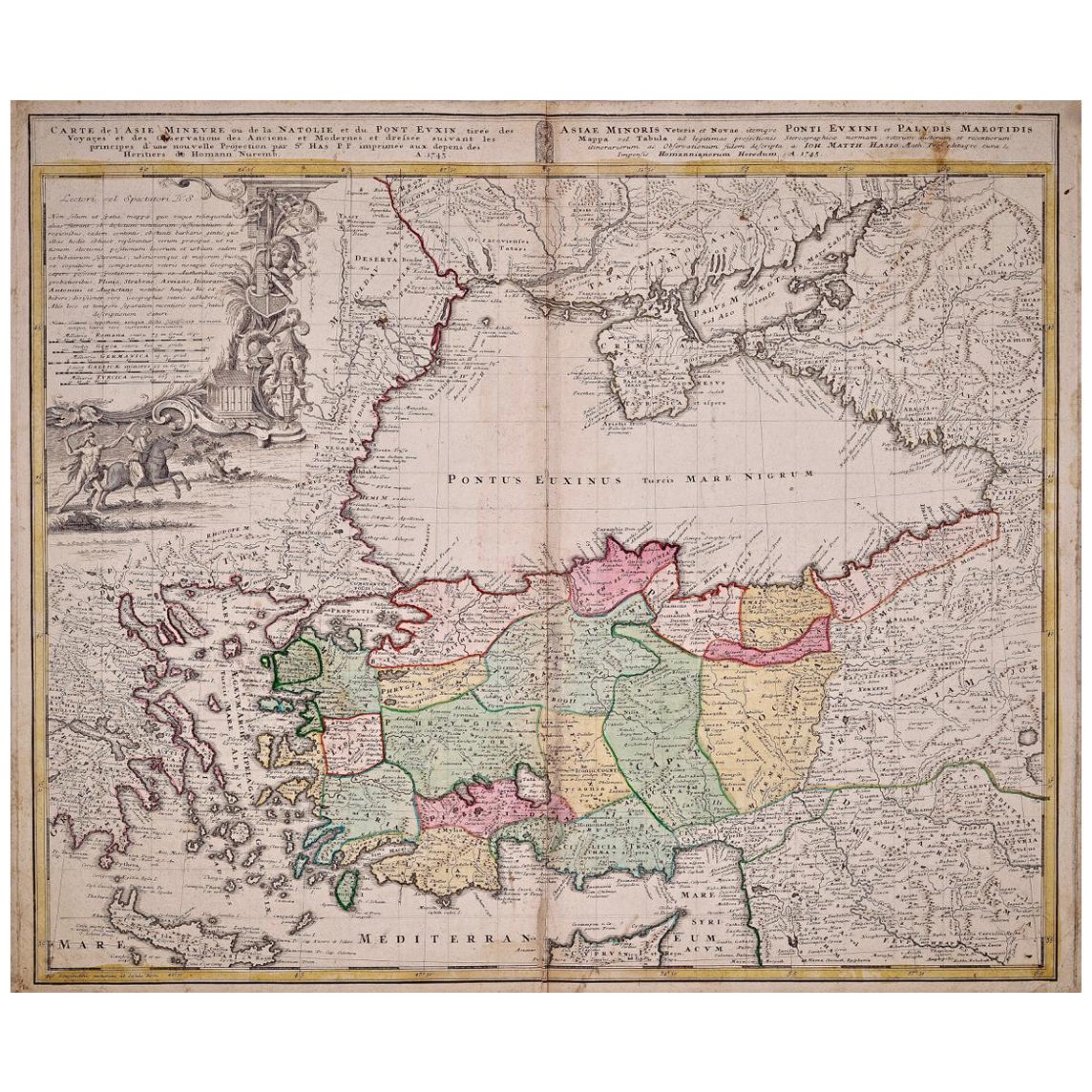
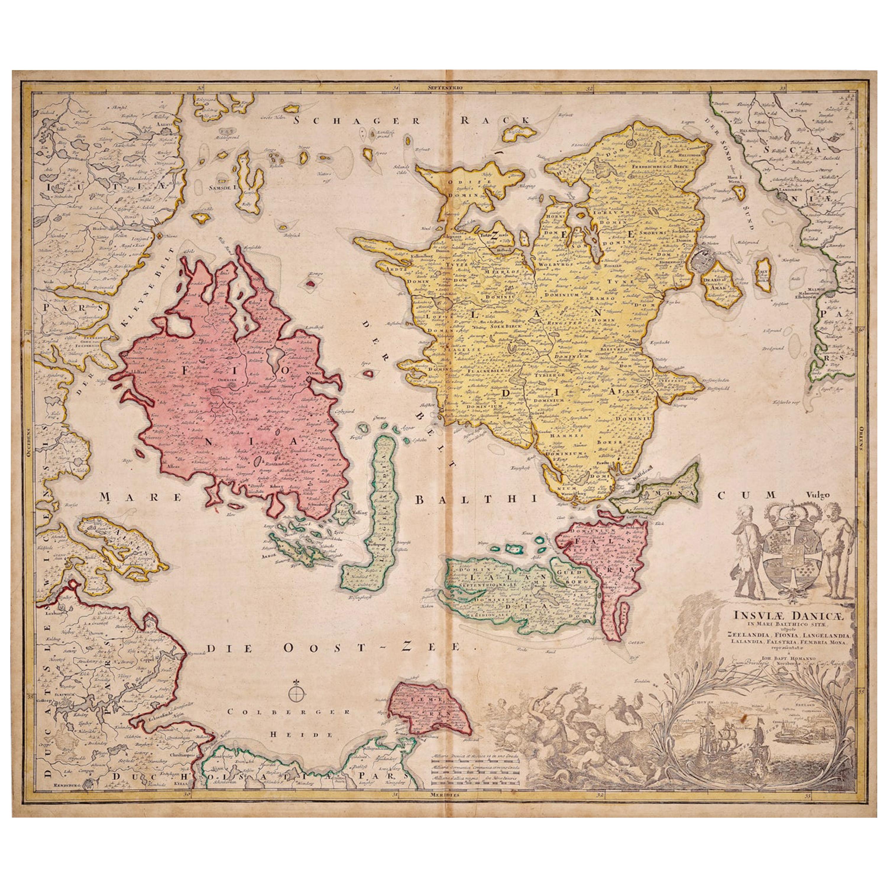
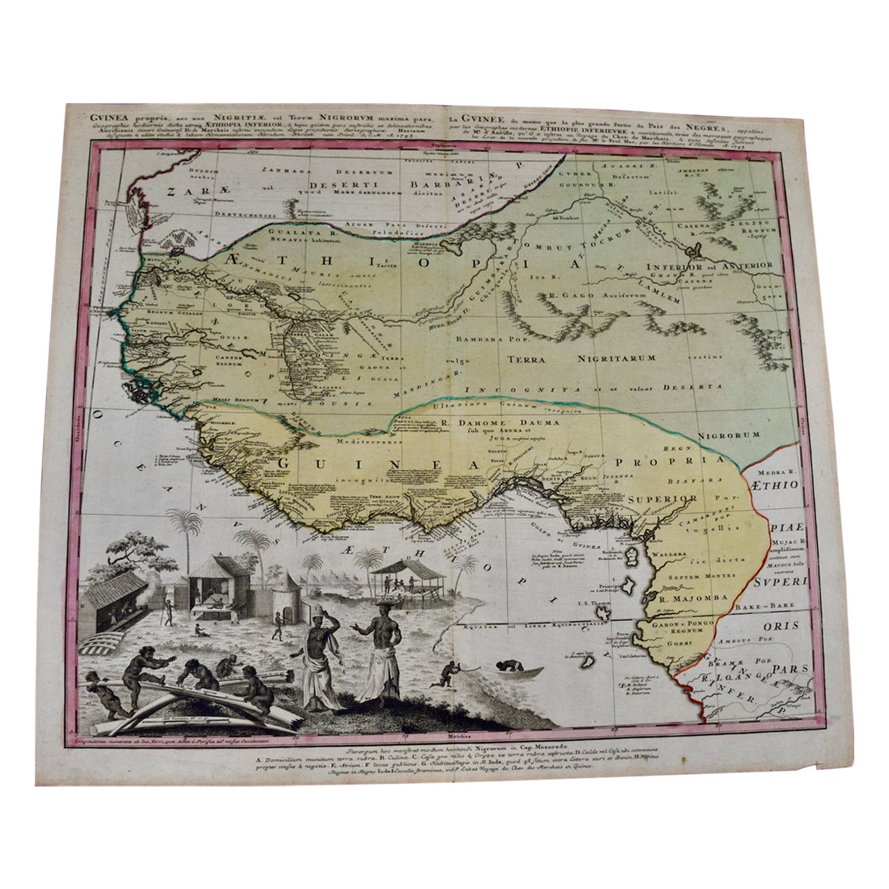
- Creator:Johann Baptist Homann (Maker)
- Dimensions:Height: 20.75 in (52.71 cm)Width: 23.5 in (59.69 cm)Depth: 0.02 in (0.51 mm)
- Materials and Techniques:
- Place of Origin:
- Period:1720-1729
- Date of Manufacture:Circa 1720
- Condition:Wear consistent with age and use. Has original center fold.
- Seller Location:New York, NY
- Reference Number:Seller: 1130021stDibs: LU138222558332
You May Also Like
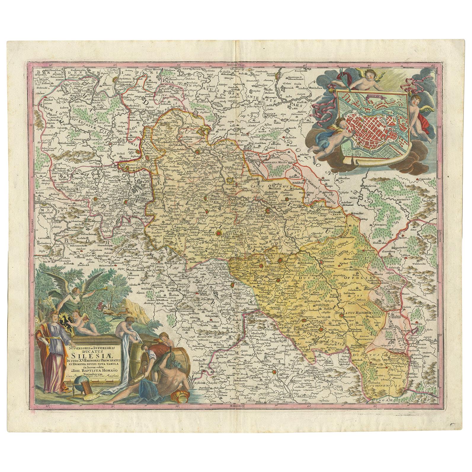
- Antique Map of Silesia, Southwest Poland and a City View of Wroclaw, c 1720By Johann Baptist HomannLocated in Langweer, NLAntique map titled 'Superioris et Inferioris ducatus Silesiae (..)'. Detailed map of Silesia by Johann Baptist Homann. Shows the Southwestern part of Poland between Frankfurt Oder ...Category
Antique Early 18th Century Maps
MaterialsPaper
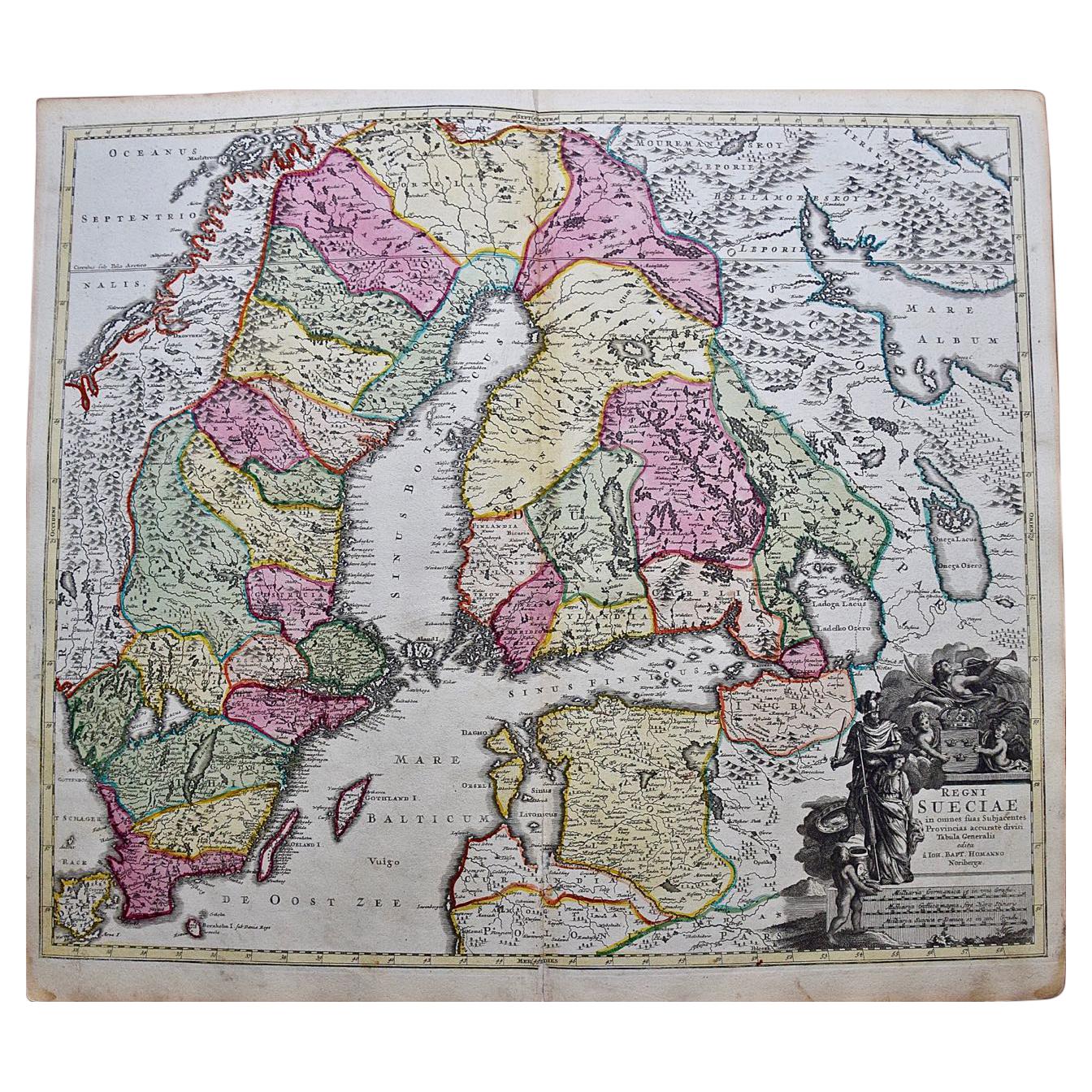
- Sweden & Adjacent Portions of Scandinavia: A Hand-Colored 18th C. Map by HomannBy Johann Baptist HomannLocated in Alamo, CAThis hand-colored map of Sweden and adjacent portions of Scandinavia entitled "Regni Sueciae in Omnes suas Subjacentes Provincias accurate divisi Tabula Generalis" was created by Joh...Category
Antique 1720s German Maps
MaterialsPaper
- Scandinavia & Portions of Eastern Europe: 18th Century Hand-Colored Homann MapBy Johann Baptist HomannLocated in Alamo, CAAn early 18th century hand-colored copper-plate map entitled "Regni Sueciae in omnes suas Subjacentes Provincias accurate divisi Tabula Generalis" by Johann Baptist Homann (1663-1724...Category
Antique Early 18th Century German Maps
MaterialsPaper
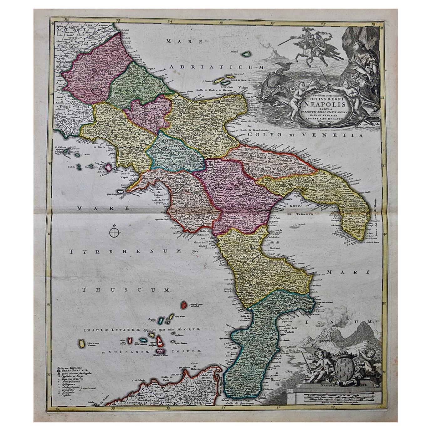
- Hand-Colored 18th Century Homann Map of the Danube, Italy, Greece, CroatiaBy Johann Baptist HomannLocated in Alamo, CA"Fluviorum in Europa principis Danubii" is a hand colored map of the region about the Danube river created by Johann Baptist Homann (1663-1724) in his 'Atlas Novus Terrarum', publish...Category
Antique Early 18th Century German Maps
MaterialsPaper
- 18th Century Hand-Colored Homann Map of Germany, Including Frankfurt and BerlinBy Johann Baptist HomannLocated in Alamo, CAAn 18th century hand-colored map entitled "Tabula Marchionatus Brandenburgici et Ducatus Pomeraniae quae sunt Pars Septentrionalis Circuli Saxoniae Superioris" by Johann Baptist Homa...Category
Antique Early 18th Century German Maps
MaterialsPaper
- Hand Colored 18th Century Homann Map of Austria Including Vienna and the DanubeBy Johann Baptist HomannLocated in Alamo, CA"Archiducatus Austriae inferioris" is a hand colored map of Austria created by Johann Baptist Homann (1663-1724) and published in Nuremberg, Germany in 1728 shortly after his death. ...Category
Antique Early 18th Century German Maps
MaterialsPaper


