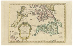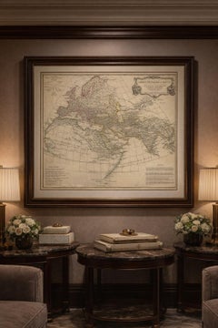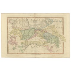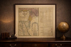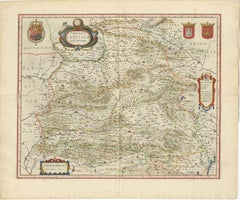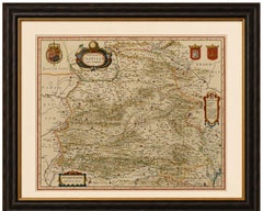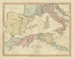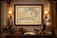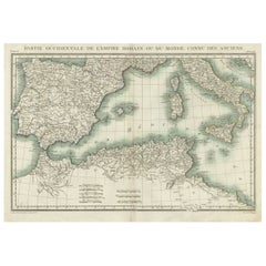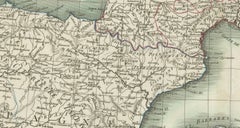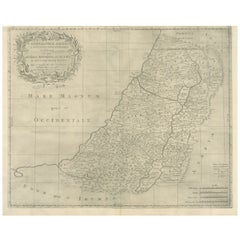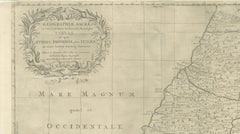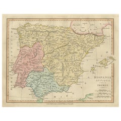
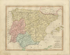
Roman Hispania Provinces Map — Decorative Classical Iberia, Wilkinson 1815
Located in Langweer, NL
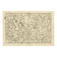
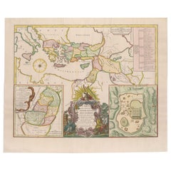
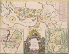
Combining scholarly cartography with refined aesthetic appeal, the plate reflects the early nineteenth-century fascination with classical geography and the rediscovery of ancient sou...
Category
Antique Early 19th Century British Maps
Materials
Paper