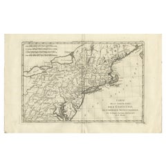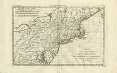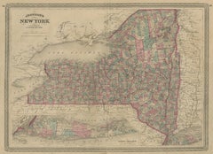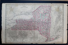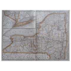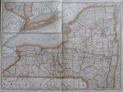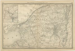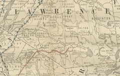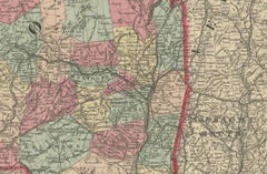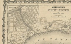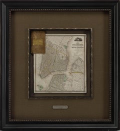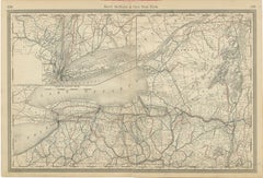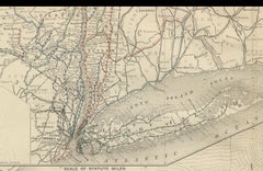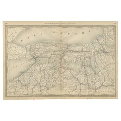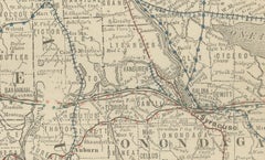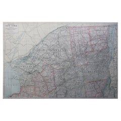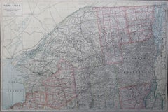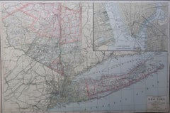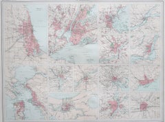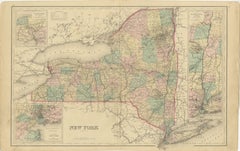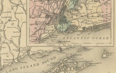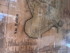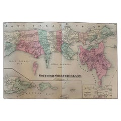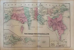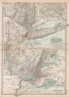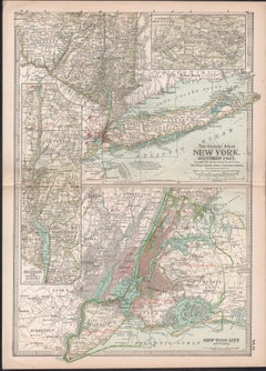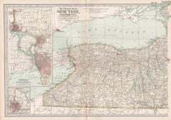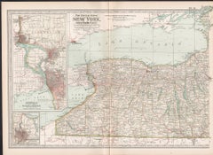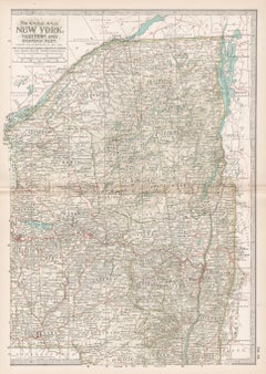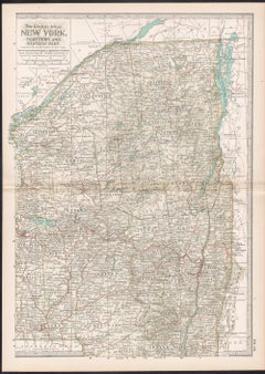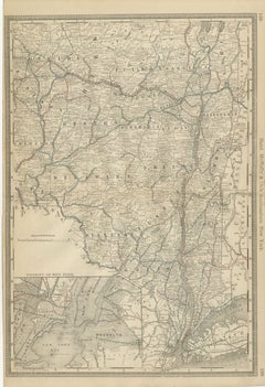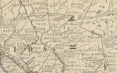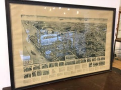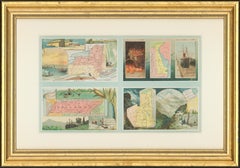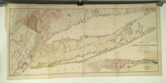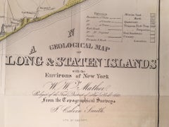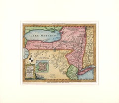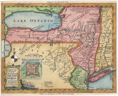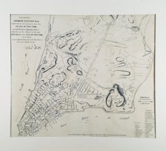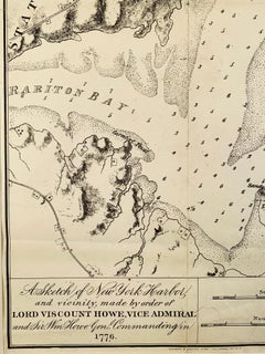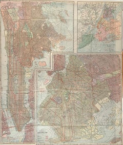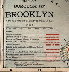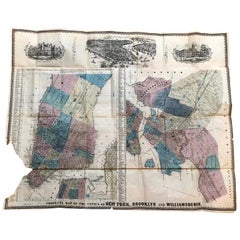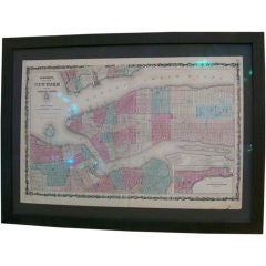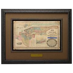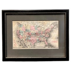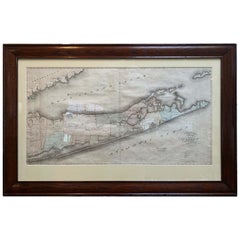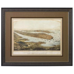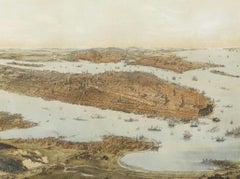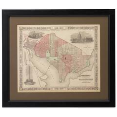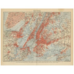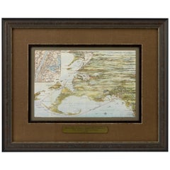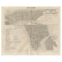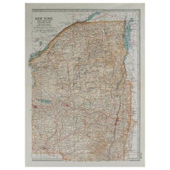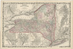
Large Antique Map of New York State with Inset Maps
$472Sale Price|20% Off
H 18.04 in W 26.58 in D 0.02 in
Large Antique Map of New York State with Inset Maps
Located in Langweer, NL
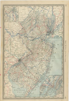
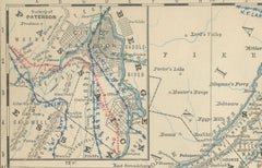
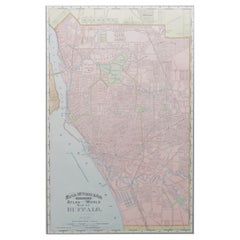
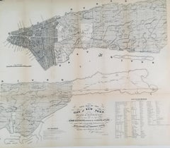
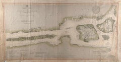
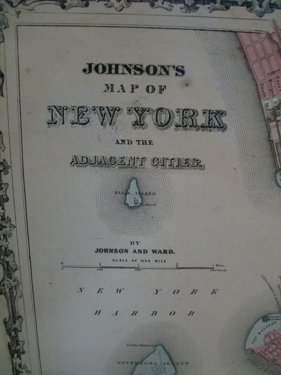
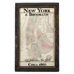
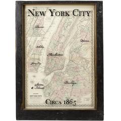
Antique map titled 'Johnson's New York' Large map of New York State. With insets of Albany, Oswego
Category
Mid-19th Century Antique Map New York
Materials
Paper