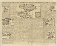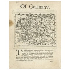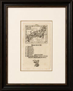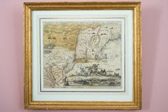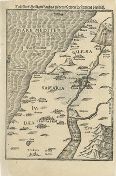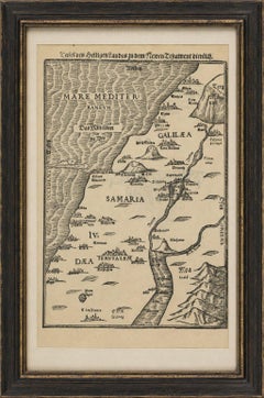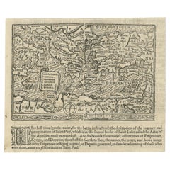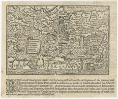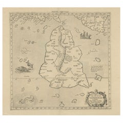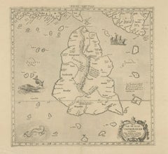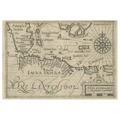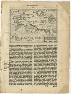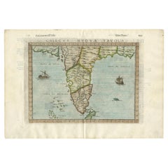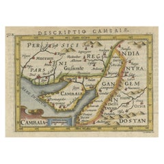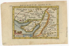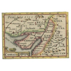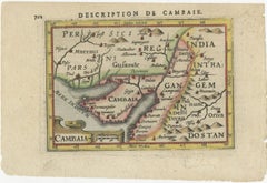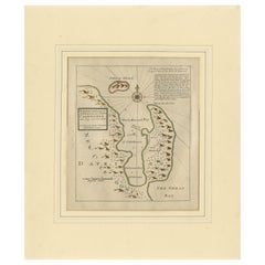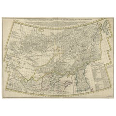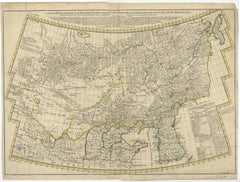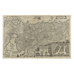

Beautiful Rare Antique Map of the Holy Land, 1648
$779Sale Price|20% Off
Beautiful Rare Antique Map of the Holy Land, 1648
Located in Langweer, NL
Schrift gecorigeert, ende int licht gegeven'. Beautiful and rare antique map of the Holy Land. Shows Exodus and wanderings of children of Israel across Red Sea, Sinai, and to Jer...
Category
1640s Rare Antique Maps
Materials
Paper