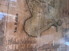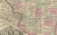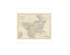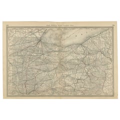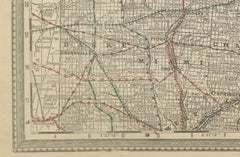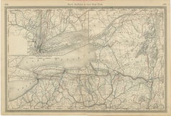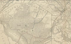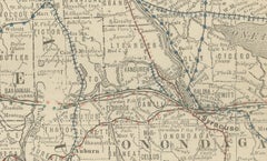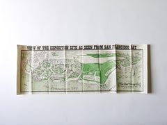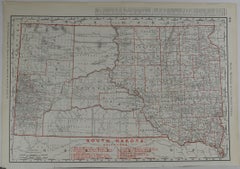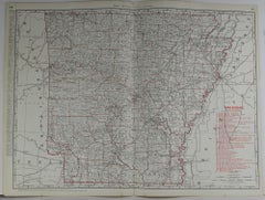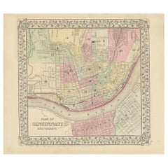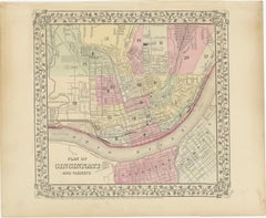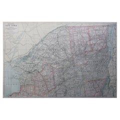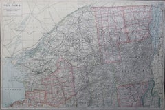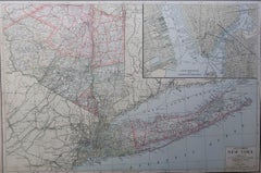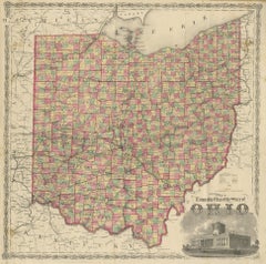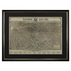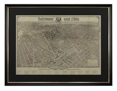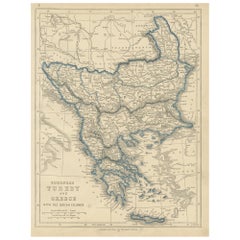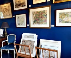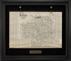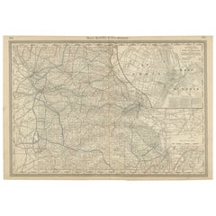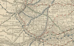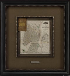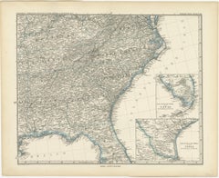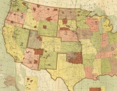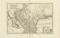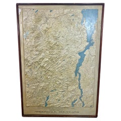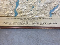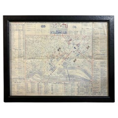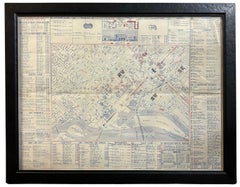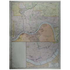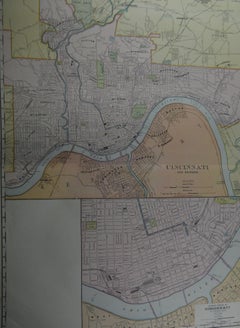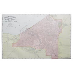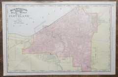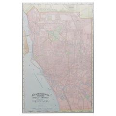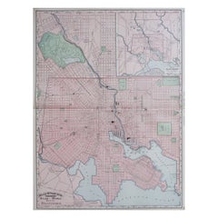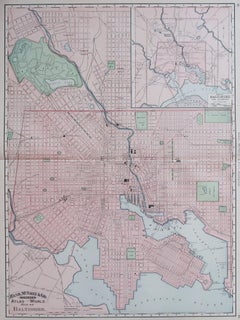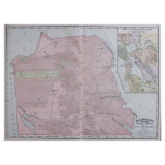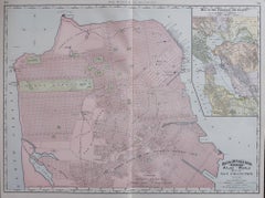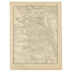
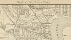
Antique Kansas City Map Wall Art – Missouri–Kansas Border, Rand McNally, ca.1888
Located in Langweer, NL
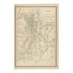
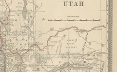
Technique: Lithograph Maker: Rand, McNally & Co., United States, late 19th century Keywords: antique kansas city map, kansas city wall art, rand mcnally map, missouri kansas border ...
Category
Antique Late 19th Century American Maps
Materials
Paper