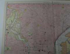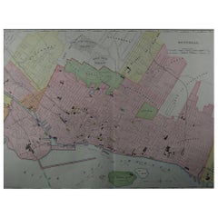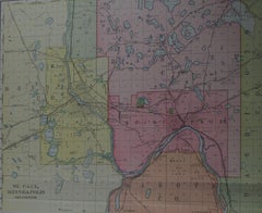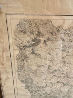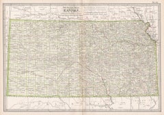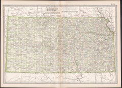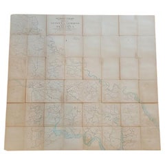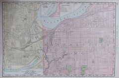
Original Antique City Plan of Kansas City, USA. 1894
By Rand McNally & Co.
Located in St Annes, Lancashire
Fabulous colorful map of Kansas City Original color By Rand, McNally & Co. Published, 1894 Unframed Slightly reduced bottom margin. Free shipping.
Category
Antique 1890s American Maps
Materials
Paper