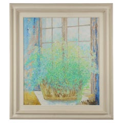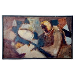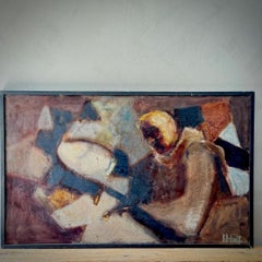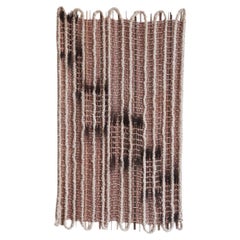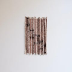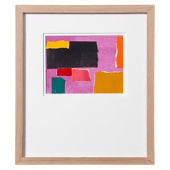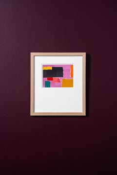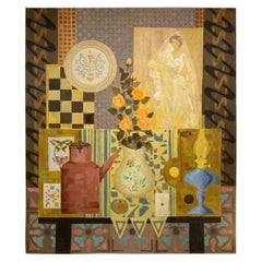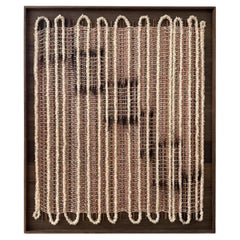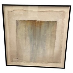
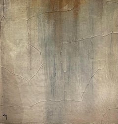
Cream, Blue and Rust Painting by Belgian Artist Diane Petry, Contemporary
By Diane Petry
Located in New York, NY
Contemporary Belgian artist Diane Petry creates her own three layer canvas using pima cotton, gauze and fine paper. Raw edges and applied threads add texture and dimension. Colors are cream, blue and rust. All artwork can be commissioned for any size and color adjustments. Archivally mounted on museum board in an anodized black aluminum frame with acrylic. We have a large collection of paintings...
Category
21st Century and Contemporary Modern Belgian Wall Decorations
Materials
Canvas