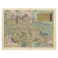
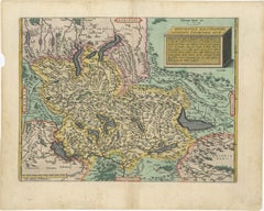
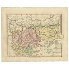
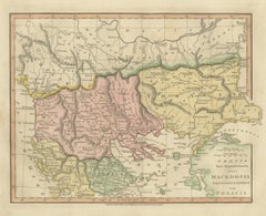
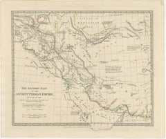
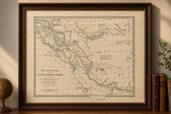
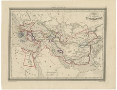
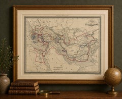
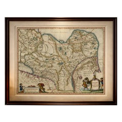
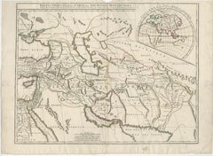
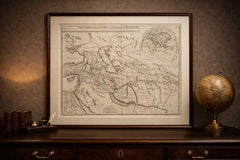
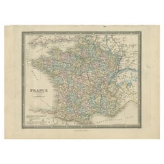
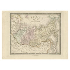
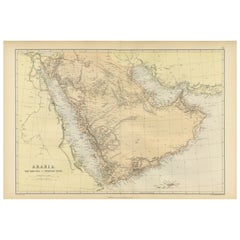
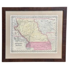
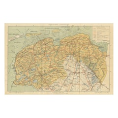
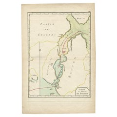
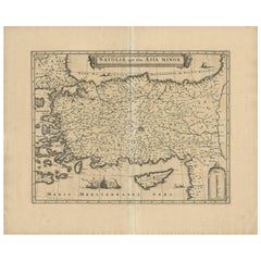
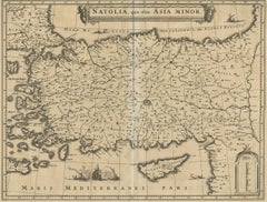
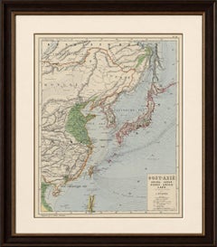
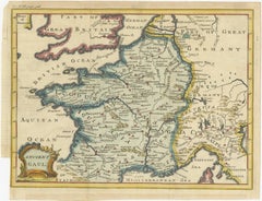
Antique Map of Afghanistan and Surroundings, '1845'
$186Sale Price|20% Off
H 10.24 in W 14.18 in D 0.02 in
Antique Map of Afghanistan and Surroundings, '1845'
Located in Langweer, NL
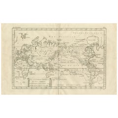
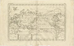
This map originates from 'An Atlas of the World, Comprehending Separate Maps of its Various Countries, constructed and drawn from the latest Astronomical and Geographical Observation...
Category
Mid-19th Century Antique World Maps
Materials
Paper