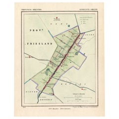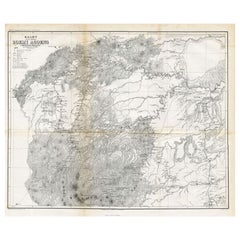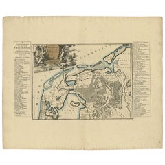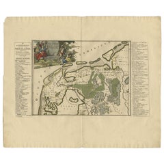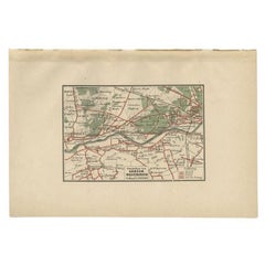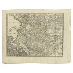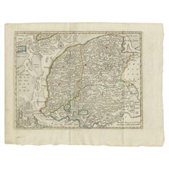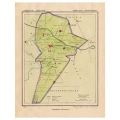

Antique Map of the Township of Westerbork, Drenthe in the Netherlands, 1865
$205Sale Price|20% Off
Antique Map of the Township of Westerbork, Drenthe in the Netherlands, 1865
Located in Langweer, NL
We offer a wide range of authentic antique maps for any budget.
Category
19th Century Authentic Antique Maps
Materials
Paper