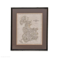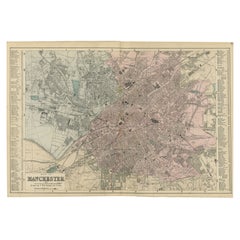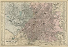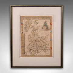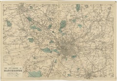
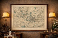
Antique Map of Manchester & Environs, Victorian Industrial Lancashire Map, 1885
$398
H 13.39 in W 19.69 in D 0.01 in
Antique Map of Manchester & Environs, Victorian Industrial Lancashire Map, 1885
Located in Langweer, NL
Decorative Map of Manchester and Environs, Victorian Industrial Lancashire Map, 1885 Description: This finely detailed Victorian map titled “Map of the Environs of Manchester” prese...
Category
Antique Late 19th Century British Maps
Materials
Paper