
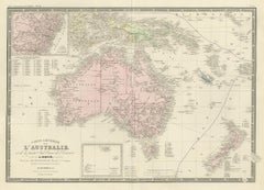
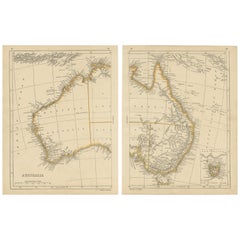
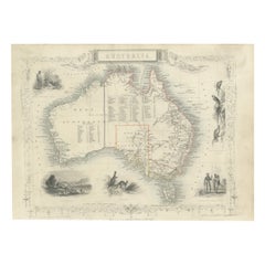
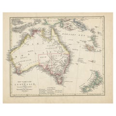
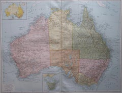
Antique Map of Australia by Levasseur, '1875'
Located in Langweer, NL
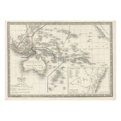
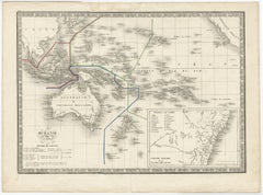
Antique map titled 'Carte générale de l'Australie'. Large map of Australia. This map originates
Category
Antique Late 19th Century Maps
Materials
Paper
Antique Map of Australia by Levasseur, '1875'
Located in Langweer, NL
Antique map titled 'Carte générale de l'Australie'. Large map of Australia. This map originates
Paper
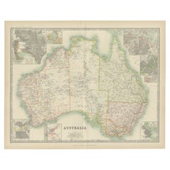
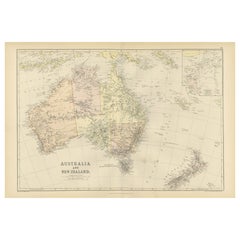
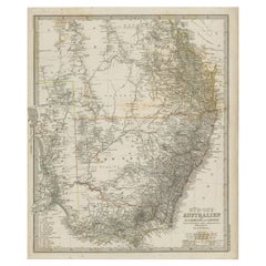
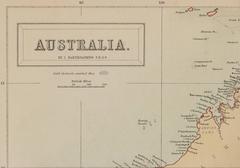
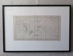
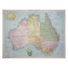
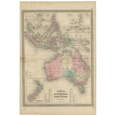
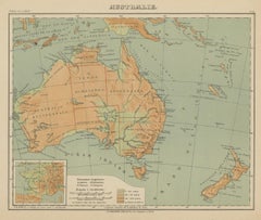
Antique Map of Australia by Johnston '1909'
Located in Langweer, NL
Antique map titled 'Australia'. Original antique map of Australia. With inset maps of Melbourne
Paper

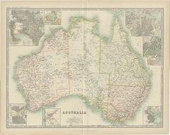
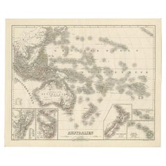
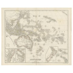
Antique Map of Australia by H. Kiepert, 1875
Located in Langweer, NL
Antique map titled 'Australien'. Large and detailed map of Australia and New Zealand. With color
Paper

Original Antique Map of Australia by Dower, circa 1835
Located in St Annes, Lancashire
Nice map of Australia Drawn and engraved by J.Dower Published by Orr & Smith. C.1835 Unframed
Paper

Large Original Antique Map of Australia by Sidney Hall, 1847
Located in St Annes, Lancashire
Great map of Australia Drawn and engraved by Sidney Hall Steel engraving Original colour
Paper


German Antique Map of Australia, Meyers, 1885
Located in Langweer, NL
Australien.' (Map of Australia. With inset maps of the large cities and Tasmania.) This attractive
Paper
$235Sale Price|20% Off
H 14.57 in W 21.26 in D 0.02 in
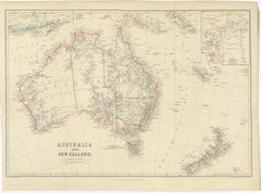
Antique Map of Australia and New Zealand by W. G. Blackie, 1859
Located in Langweer, NL
Antique map titled 'Australia and New Zealand'. Original antique map of Australia and New Zealand
Paper

Antique Map of Australia and New Zealand, c.1860
Located in Langweer, NL
Antique map titled 'Australia and New Zealand'. Unusual edition of this map of Australia and New
Paper
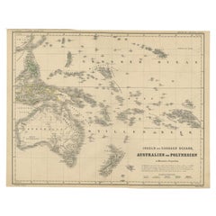

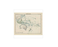
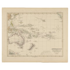
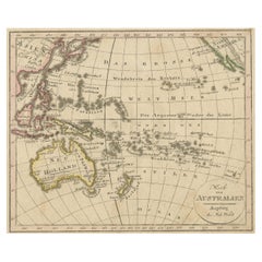
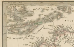
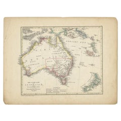
German Antique Map of Australia and Polynesia, c.1870
Located in Langweer, NL
Antique map titled 'Inseln des Grossen Oceans, Australien und Polynesien'. Old map of Australia and
Paper

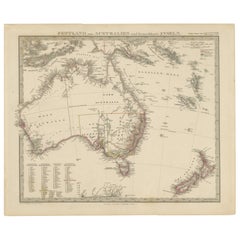
German Antique Map of Australia and New Zealand, 1857
Located in Langweer, NL
Antique map Australia titled 'Festland von Australien und benachbarte Inseln'. Detailed map of
Paper


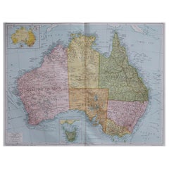
Large Detailed Map of Australia Wint Inset of Tasmania, 1937
Located in Langweer, NL
Antique map titled 'Australia'. Large folding map of Australia. With inset map of Tasmania. Printed
Paper

$181Sale Price|30% Off
H 15.16 in W 18.31 in D 0.02 in
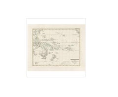
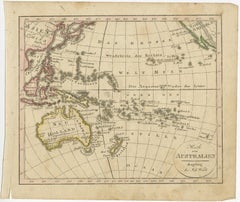
Antique Map of Australia, New Zealand and Oceania by F. von Stülpnagel, 1850
Located in Langweer, NL
Antique map titled 'Australien und Polynesien in Mercators Projection'. A map of Australia, New
Paper
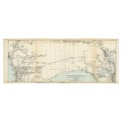

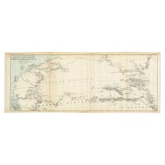
Antique Exploration Map of Australia from Beltana to Perth, 1876
Located in Langweer, NL
im Western ausgefuhrt durch E. Giles (..)'. Old map of Australia from Bunbury to Adelaide in the
Paper
$494
H 14.77 in W 17.88 in D 0.01 in
Antique Map of Australia, New Zealand & Polynesia – Stülpnagel, 1857
Located in Langweer, NL
Antique Map of Australia, New Zealand & Polynesia – Stülpnagel, 1857 Description: This finely
Paper


Antique Map of Australia and Polynesia, inset of Tasmania c.1860
Located in Langweer, NL
German antique map titled 'Australien und Polynesien'. Old map of Australia (New Holland) and
Paper

$376
H 18.31 in W 14.57 in D 0 in
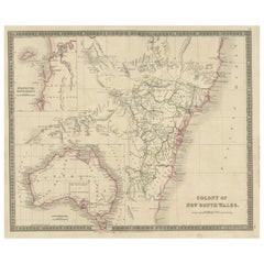
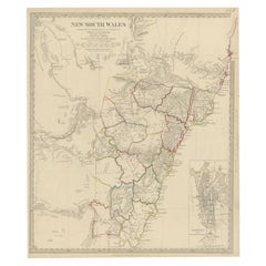
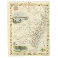
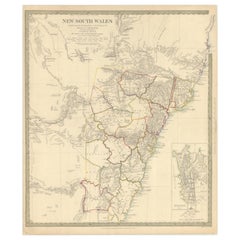
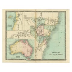
Antique Map of New South Wales with Inset Maps of Australia and Swan River, 1854
Located in Langweer, NL
Antique map titled 'Colony of New South Wales'. Map of New South Wales with inset maps of Australia
Paper
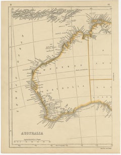
Antique Map of Australia by Lowry, 1852
Located in Langweer, NL
Antique map titled 'Australia'. Two individual sheets of Australia. This map originates from
Paper

$318
H 14.49 in W 18.51 in D 0.01 in
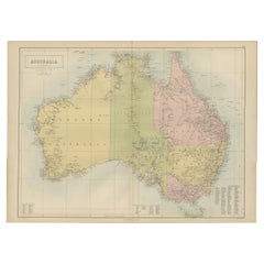
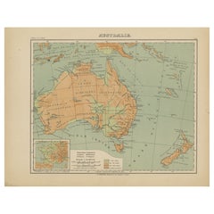
Antique Map of Australia, 1903, with Colonial Divisions and Detailed Topography
Located in Langweer, NL
Title: Antique Map of Australia, 1903, with Colonial Divisions and Detailed Topography Description
Paper

$294
H 10.83 in W 27.17 in D 0 in
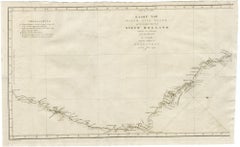
Antique Exploration Map of Australia from Sharks Bay to Alice Springs, 1876
Located in Langweer, NL
, Forrest (..)'. Old map of Australia from Sharks Bay to 90 Mile Beach over to Alice Springs. It shows much
Paper

$294
H 14.97 in W 22.45 in D 0 in
1882 Map of Australia and New Zealand with Regional and Geographical Features
Located in Langweer, NL
This 1882 map of Australia and New Zealand, published by Blackie and Son as part of the
Paper

$824
H 23.23 in W 27.96 in D 0 in
Map of Australia, New Zealand, Part of China, Japan and Southeast Asia, 1857
Located in Langweer, NL
German Antique map titled 'Australien'. Map of Australia, New Zealand, part of China, Japan and
Paper
$883
H 16.15 in W 22.05 in
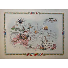
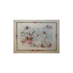
Jacques Liozu's 1951 illustrated map of Australia and Oceania
By Jacques Liozu
Located in PARIS, FR
Jacques Liozu's 1951 illustrated map of Australia and Oceania is a remarkable cartographic work
Paper, Lithograph

$5,594 / set
H 65.16 in W 79.53 in D 0.08 in
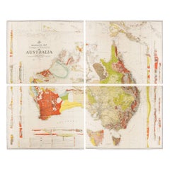
Impressive Geological Map of Australia – Rare Oversized Wall Display, 1931–32
Located in Langweer, NL
Geological Map of the Commonwealth of Australia by Sir Edgeworth David, 1931–32 Large and highly
Linen, Paper

$188Sale Price|20% Off
H 14.06 in W 17.52 in D 0 in
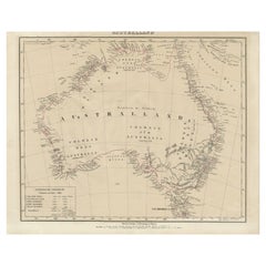
Detailed German Map of Australia Including Statistics of 1841, Published in 1854
Located in Langweer, NL
geography of the time. The map also honors the history of exploration and discovery in Australia, with
Paper


$181Sale Price|30% Off
H 15.16 in W 18.31 in D 0.02 in
Antique Map of Australia and surrounding Islands by F. von Stülpnagel, 1850
Located in Langweer, NL
Antique map titled 'Festland von Asutralien und benachbarte Inseln'. Map showing Australia, New
Paper
$141
H 8.19 in W 6.66 in D 0 in
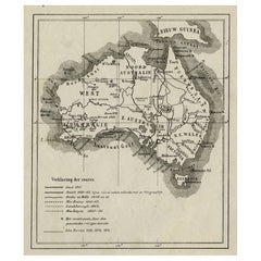
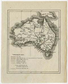
Old Map of Australia Showing The Routes of the Main Explorers, ca.1900
Located in Langweer, NL
Antique print, untitled. This map shows Australia with the routes of explorers in the continent and
Paper
$188
H 8.47 in W 9.85 in D 0 in
Antique Map of Oceania and the Pacific Ocean, Australia and New Zealand, 1826
Located in Langweer, NL
Antique map of Australia titled 'Karte von Australien'. Old map of Australia and New Zealand
Paper

$647
H 13.78 in W 16.15 in D 0 in
Antique Map of New South Wales with an Inset of Sydney, Australia, 1833
Located in Langweer, NL
Antique map of Australia titled 'New South Wales'. Old map of New South Wales, Australia. With an
Paper

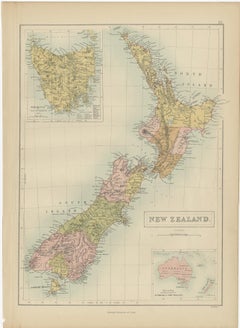
Antique Map of New Zealand by A & C. Black, 1870
Located in Langweer, NL
Antique map titled 'New Zealand'. Original antique map of New Zealand with inset Maps of Australia
Paper

$6,807Sale Price|20% Off
H 20.67 in W 27.17 in D 0.02 in
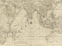
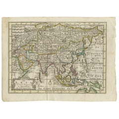
Antique Map of South East Asia, Australia and the Indian Ocean, 1726
By F. Valentijn
Located in Langweer, NL
Antique map titled 'Tabula Indiae Orientalis'. Beautiful detailed map of Australia, Southeast
Paper

$259
H 13.78 in W 16.15 in D 0 in
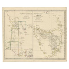
Antique Map of Western Australia and Van Diemen's Land or Tasmania, 1833
Located in Langweer, NL
Antique map of Australia titled 'Western Australia - Van-Diemen Island'. Two maps on one sheet
Paper
$388
H 14.06 in W 18 in D 0.01 in
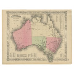
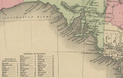
Johnson’s Australia Map, USA Published c.1864 – Decorative Hand-Colored Map
Located in Langweer, NL
Johnson’s Australia Map, USA Published c.1864 – Decorative Hand-Colored Map This is a finely
Paper
Australia, New Zealand, and Neighbouring Islands Map 1858
Located in Langweer, NL
Australia and Neighbouring Islands Map 1858 This attractive antique print shows “Festland von
Paper
$70Sale Price|20% Off
H 10.8 in W 17.3 in D 0.001 in
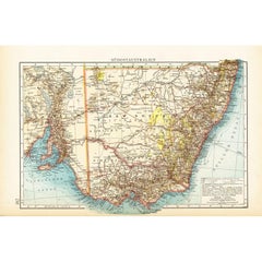
German Antique Map of Southeastern Australia, 1904
Located in Langweer, NL
This large antique map is taken from; 'Andrees Allgemeiner Handatlas in 126 Haupt-Und 139
Paper
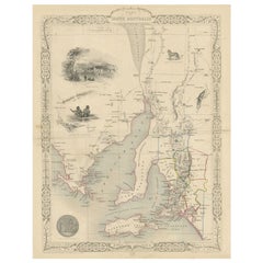

Antique Map of South Australia by Tallis, 1851
By Thomas Kitchin
Located in Langweer, NL
Antique map Australia titled 'Part of South Australia'. Decorative map of part of South Australia
Paper
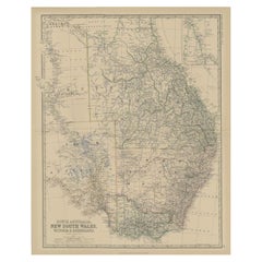

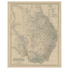
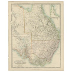
Antique Map of South Australia by Johnston, 1882
By Thomas Kitchin
Located in Langweer, NL
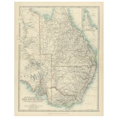
Antique map titled 'South Australia, New South Wales, Victoria & Queensland'. Old map of Southern
Paper
$546Sale Price|20% Off
H 104.34 in W 14.26 in D 0 in
Gold Rush Era Masterpiece: The Tallis & Rapkin Rare Map of Pre-Queensland, 1851
Located in Langweer, NL
The image is an original historical map of Australia from the year 1851, created by John Rapkin
Paper
$341
H 24.22 in W 19.53 in D 0 in
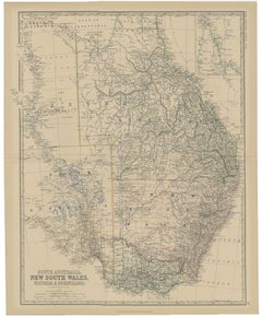
Old Map of Southern Australia, with an Inset Map of Cape York Peninsula, 1882
Located in Langweer, NL
Antique map titled 'South Australia, New South Wales, Victoria & Queensland'. Old map of
Paper

$168Sale Price|35% Off
H 15.16 in W 18.31 in D 0.02 in
Antique Map of Southeastern Australia by F. von Stülpnagel, 1850
Located in Langweer, NL
Antique map titled 'Süd-Östlichen Australien'. Map of southeastern Australia with inset maps of
Paper
$694
H 18.71 in W 15.16 in D 0.4 in
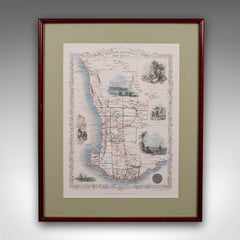
Vintage Western Australia Map, Framed Print, Swan River, John Tallis Cartography
Located in Hele, Devon, GB
This is a vintage Western Australia map. A late 20th century reproduction of John Tallis’ original
Glass, Paper


$235Sale Price|20% Off
H 14.18 in W 10.24 in D 0.02 in
Antique Map of New South Wales 'Australia' by Wyld '1845'
Located in Langweer, NL
Wales, Australia. This map originates from 'An Atlas of the World, Comprehending Separate Maps of its
Paper

$56Sale Price|20% Off
H 17.13 in W 14.38 in D 0 in
Antique Map of South East Australia by Stieler, c.1848
By Thomas Kitchin
Located in Langweer, NL
Antique map Australia titled 'Süd-Ost Australien'. Detailed map of South East Australia. Orginates
Paper


Antique Map of South Australia by A.K. Johnston, 1865
Located in Langweer, NL
Antique map titled 'South Australia, New South Wales, Victoria & Queensland'. This map
Paper
$282Sale Price|20% Off
H 10.56 in W 14.73 in D 0.02 in
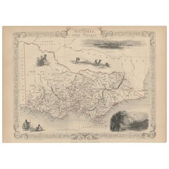
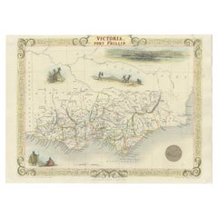
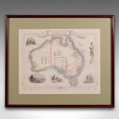
Antique Map of Victoria ‘Australia’ by J. Tallis, circa 1855
Located in Langweer, NL
A highly decorative and finely engraved mid-19th century map of Victoria, Australia which appeared
Paper
$690Sale Price|40% Off
H 13.4 in W 9.8 in D 0.002 in
Antique Map of New South Wales in Australia, ca. 1850
Located in Langweer, NL
Antique map of Victoria, or Port Phillip (12.7 x 10.0") in Australia. Superb map of Victoria
Paper

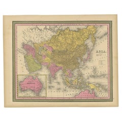
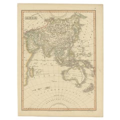
Antique Map of Asia Depicting Asia and Australia, c.1814
Located in Langweer, NL
Antique map titled 'Asia'. This map depicts Asia and Australia. Engraved by J. and G. Menzies and
Paper
$376
H 14.57 in W 10.63 in D 0 in
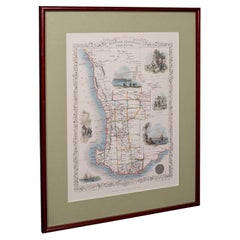
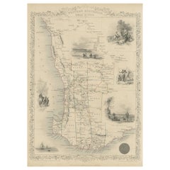
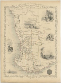
Map of Western Australia & Swan River, insets of Perth, Aboriginals, Sheep, 1851
Located in Langweer, NL
Antique map titled 'Western Australia, Swan River'. Map of Western Australia and Swan River
Paper

$527Sale Price|20% Off
H 15.4 in W 13.7 in D 0.02 in
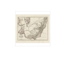
Detailed Map of New South Wales, Australia from 1833 by SDUK
Located in Langweer, NL
Detailed Map of New South Wales, Australia from 1833 by SDUK This historical map of New South
Paper

$1,943
H 21.07 in W 25.01 in D 0 in
Antique Map of Asia with Northern Portion of Australia “Hollandia Nova", 1727
Located in Langweer, NL
antique map of the continent of Asia with a northern portion of Australia “Hollandia Nova”. The map is
Paper
$329Sale Price|20% Off
H 24.41 in W 19.49 in D 0 in
Antique Detailed Map of New South Wales, Queensland & Victoria, Australia, 1865
Located in Langweer, NL
Antique map Australia titled 'South Australia, New South Wales, Victoria & Queensland'. Old map
Paper

$494
H 13.19 in W 17.72 in D 0 in
Antique Map of Asia and Australia with a Speculative Coastline, 1777
Located in Langweer, NL
Antique map titled 'A New & Accurate Map of Asia'. Detailed map of Asia and Australia, shows a
Paper
$3,454Sale Price|34% Off
H 29.14 in W 20.87 in D 0 in
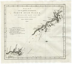
Large Antique Map of Bass Strait, Tasmania, Australia by Cook, 1803
Located in Langweer, NL
Antique map Australia titled 'Kaart van Basses Straat tusschen Nieuw Zuid Wales en van Diemensland
Paper
$823
H 20.28 in W 24.02 in D 0.02 in
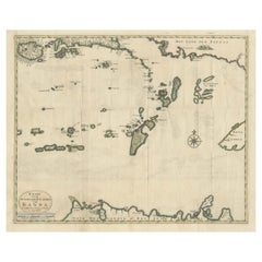
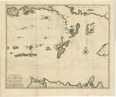
Old Antique Map of the Banda Islands (Southeast), Indonesia & Northern Australia
By F. Valentijn
Located in Langweer, NL
Original antique map titled 'Kaart van de Zuyd-Ooster Eylanden van Banda'. Important map of the
Paper
$400
H 17.84 in W 24.1 in D 0.02 in
Grand Antique Map of Oceania and the Pacific Ocean – Australia & America, 1884
Located in Langweer, NL
Grand Antique Map of Oceania and the Pacific Ocean – Australia & America 1884 This impressive
Paper

$680Sale Price|20% Off
H 10 in W 12.7 in D 0.002 in
Antique Map of Victoria, or Port Phillip in Australia, ca. 1850
Located in Langweer, NL
centered around Melbourne, Australia. Crafted by John Tallis around 1850, this map is part of the
Paper

$353
H 18.51 in W 14.49 in D 0.01 in
Antique Map of South Australia, New South Wales, Victoria and Queensland, 1903
Located in Langweer, NL
Title: Antique Map of South Australia, New South Wales, Victoria, and Queensland, 1903 Description
Paper
$259
H 13 in W 17.52 in D 0.01 in
French Antique Map of Oceania with Details of the Australian Colonies, c.1840
Located in Langweer, NL
Antique map Oceania titled 'Océanie par C.V. Monin'. Old map of Oceania with an inset of New South
Paper

Map of Australia by J. Bartholomew
Located in New York, NY
Detailed lithograph Map of Australia with color-coded regions: Western Australia, North Australia
Lithograph
Unavailable
H 69 in W 89 in D 1.2 in
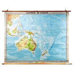
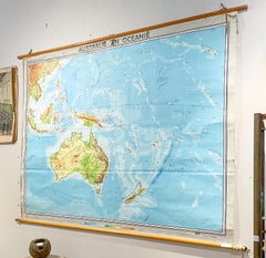
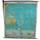
Mid-Century Dutch Topographical Wall Map of Australia and Oceania on Linen
Located in Houston, TX
frame with leather loops for hanging. The map is in full color with Australia and Oceania as the area
Linen, Wood, Paper

Unavailable
H 29.14 in W 41.34 in D 1.19 in
Rare Robert Bénard Map Engraving - South Pacific Australia New Zealand 1774
Located in Malvern, Victoria
Rare Robert Bénard map of the South Pacific, showing Australia and New Zealand Bénard, Robert

Unavailable
H 14.97 in W 20.08 in
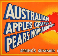
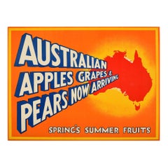
Original Vintage Fruit Poster Australia Apples Grapes Pears British Empire Trade
Located in London, GB
highlighted map of Australia promoting the arrival of fresh fruit for the season against the colourful
Paper

Unavailable
H 24.02 in W 18.12 in
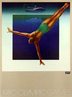
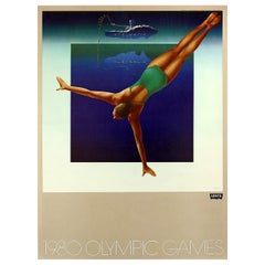
Original Vintage Sport Poster Levi's Moscow 1980 Olympic Games Australia Swimmer
Located in London, GB
diving reflected from a map of Australia floating above in the distance, the Levi's logo and stylised
Paper

Unavailable
H 19.49 in W 15.56 in
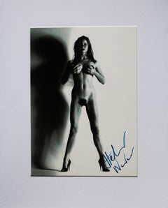
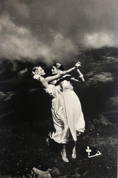
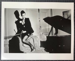
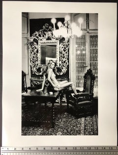
Helmut Newton (1920 - 2004) From The Big Nude Series CAMILLA, Signed, Print.
By Helmut Newton
Located in Littlehampton, West Sussex
name of Alice Springs, a name she chose from a map of Australia. The two would form a lasting artistic
Unavailable
H 15.36 in W 24.81 in
Map of Cooks Strait by C. van Baarsel - Etching / engraving - 18th Century
Located in Zeeland, Noord-Brabant
of Australia from Cape York, Endeavour Strait, Endeavour River and Cooktown. The 2nd map is 32,5x29,2
Engraving
Unavailable
H 40.16 in W 24.81 in
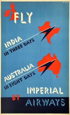
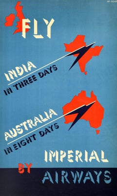
Original Vintage Travel Advertising Poster Fly Imperial Airways India Australia
By David Lee Theyre Elliott
Located in London, GB
Original vintage travel advertising poster - Fly by Imperial Airways India in three days Australia
Paper


Unavailable
H 16.5 in W 20 in D 0.02 in
"David Bowie Jail Cell, Monaco, 1983" Vintage Silver Gelatin by Helmut Newton
By Helmut Newton
Located in Los Angeles, CA
a map of Australia. The two would form a lasting artistic duo- Browne art directed many of Newton’s
Silver Gelatin
Unavailable
H 20 in W 16.5 in D 0.02 in
"Rene Russo & Cheryl Tiegs, Hawaii 1974" Silver Gelatin Print by Helmut Newton
By Helmut Newton
Located in Los Angeles, CA
a map of Australia. The two would form a lasting artistic duo- Browne art directed many of Newton’s
Silver Gelatin
Unavailable
H 20 in W 16.5 in D 0.02 in
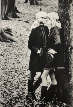
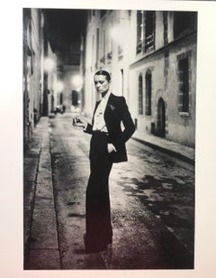
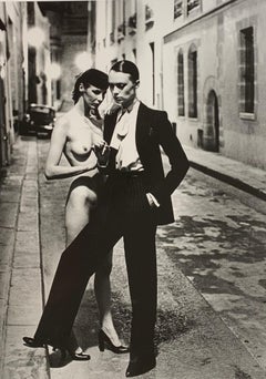
"Man Kissing Woman, Paris" Vintage Silver Gelatin Print by Helmut Newton
By Helmut Newton
Located in Los Angeles, CA
Browne, herself a photographer under the name of Alice Springs, a name she chose from a map of Australia
Silver Gelatin

Unavailable
H 20 in W 16.5 in D 0.02 in
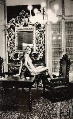
"Elsa Peretti, New York 1975" Vintage Silver Gelatin Print by Helmut Newton
By Helmut Newton
Located in Los Angeles, CA
, herself a photographer under the name of Alice Springs, a name she chose from a map of Australia. The two
Silver Gelatin


Unavailable
H 24 in W 21 in D 0.02 in
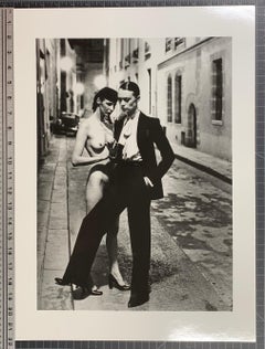
"Sie Kommen, Dressed, Paris 1981" Vintage Silver Gelatin by Helmut Newton
By Helmut Newton
Located in Los Angeles, CA
a map of Australia. The two would form a lasting artistic duo- Browne art directed many of Newton’s
Silver Gelatin

Unavailable
H 16 in W 20 in D 0.02 in
"Saddle II, Paris 1976" Original Vintage Silver Gelatin By Helmut Newton
By Helmut Newton
Located in Los Angeles, CA
a map of Australia. The two would form a lasting artistic duo- Browne art directed many of Newton’s
Silver Gelatin
Unavailable
W 1.7 in D 0.28 in L 21.26 in
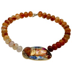
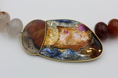
Cloisonné Enamel Choker Necklace 24-22 Karat Gold St. Silver Agate, Agate Beads
Located in Melbourne, AU
A delicious choker necklace of superb enamel depicting a map of southern shores in Australia named
Agate, Gold, Enamel


Unavailable
H 16.5 in W 20 in D 0.02 in
"Two Models Kissing, Paris 1974" Vintage Silver Gelatin Print by Helmut Newton
By Helmut Newton
Located in Los Angeles, CA
photographer under the name of Alice Springs, a name she chose from a map of Australia. The two would form a
Silver Gelatin


Unavailable
H 20.5 in W 16.5 in D 0.02 in
"David Bowie, Monte Carlo 1893" Vintage Silver Gelatin by Helmut Newton
By Helmut Newton
Located in Los Angeles, CA
photographer under the name of Alice Springs, a name she chose from a map of Australia. The two would form a
Silver Gelatin

Unavailable
H 16 in W 20 in D 0.02 in
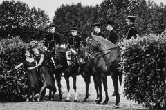
"La Cadre Noir de Saumur, 1980" Original Silver Gelatin Print by Helmut Newton
By Helmut Newton
Located in Los Angeles, CA
Springs, a name she chose from a map of Australia. The two would form a lasting artistic duo- Browne art
Silver Gelatin

Unavailable
H 20 in W 16 in D 0.02 in
"Gemelas, for YSL & Vogue" Original Silver Gelatin Print by Helmut Newton
By Helmut Newton
Located in Los Angeles, CA
photographer under the name of Alice Springs, a name she chose from a map of Australia. The two would form a
Silver Gelatin

Unavailable
H 20 in W 16.5 in D 0.02 in
"Elsa Peretti II, New York 1975" Vintage Silver Gelatin Print by Helmut Newton
By Helmut Newton
Located in Los Angeles, CA
, herself a photographer under the name of Alice Springs, a name she chose from a map of Australia. The two
Silver Gelatin

Unavailable
H 20 in W 16 in D 0.02 in
"16th Arrondissment, Paris, 1975" Original Silver Gelatin Print by Helmut Newton
By Helmut Newton
Located in Los Angeles, CA
Springs, a name she chose from a map of Australia. The two would form a lasting artistic duo- Browne art
Silver Gelatin
Unavailable
H 20 in W 16.5 in D 0.02 in
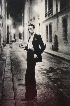
"Rue Aubriot, Paris, 1975" Original Silver Gelatin Print by Helmut Newton
By Helmut Newton
Located in Los Angeles, CA
Springs, a name she chose from a map of Australia. The two would form a lasting artistic duo- Browne art
Silver Gelatin
Unavailable
H 20.5 in W 16.5 in D 0.02 in
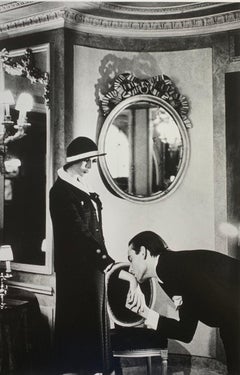
"Upstairs at Maxims, Paris, 1978" Vintage Silver Gelatin Print by Helmut Newton
By Helmut Newton
Located in Los Angeles, CA
Browne, herself a photographer under the name of Alice Springs, a name she chose from a map of Australia
Silver Gelatin
Unavailable
H 22 in W 16.5 in D 0.02 in
"Charlotte Rampling at Hotel Nord" Vintage Silver Gelatin Print by Helmut Newton
By Helmut Newton
Located in Los Angeles, CA
photographer under the name of Alice Springs, a name she chose from a map of Australia. The two would form a
Silver Gelatin
Unavailable
H 20 in W 16.5 in D 0.02 in
"Rue Aubriot 2, Paris, 1975" Original Silver Gelatin Print by Helmut Newton
By Helmut Newton
Located in Los Angeles, CA
photographer under the name of Alice Springs, a name she chose from a map of Australia. The two would form a
Silver Gelatin
Antique Map of Australia and New Zealand with Dutch Text, 1852
Located in Langweer, NL
Australia. This map originates from 'School-Atlas van alle deelen der Aarde' by Otto Petri. Artists and
Paper

Sold
H 17.92 in W 14.18 in D 0 in
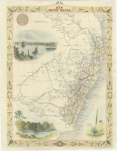
Antique Map of New South Wales Inset Maps of Australia and Swan River, 1831
Located in Langweer, NL
Antique map titled 'Colony of New South Wales'. Map of New South Wales with inset maps of Australia
Paper

Sold
H 13.78 in W 17.13 in D 0 in
Antique Map of Asia with Decorative Border and Inset Map of Australia, 1849
Located in Langweer, NL
Antique map titled 'Asia'. Original antique map of Asia, with decorative border and inset map of
Paper

Sold
H 15.16 in W 17.92 in D 0.6 in
Vintage Australia Map, Framed, Historic 19th Century Cartography Interest, 1988
Located in Hele, Devon, GB
This is a vintage Australia map. A late 20th century reproduction of John Tallis’ original 1850
Glass, Paper

Italian Plate of Australia ( & Oceania)
Located in Los Angeles, CA
Unique map of Australia & Oceania.

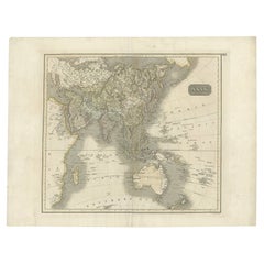
Antique Map of Asia Including Australia 'New Holland', 1808
Located in Langweer, NL
Antique map titled 'Asia'. This map depicts the Asian continent including Australia (New Holland
Paper

Sold
H 14.97 in W 20.08 in D 0.04 in
Original Vintage Fruit Poster Australia Apples Grapes Pears British Empire Trade
Located in London, GB
highlighted map of Australia promoting the arrival of fresh fruit for the season against the colourful
Paper
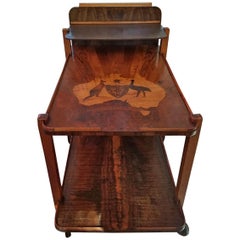
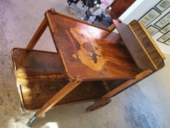
Art Deco Australian Tea Cart
Located in Dallas, TX
circa 1930. Made of burl wood, walnut, tiger and birch with marquetry inlay of map of Australia and
Maple, Walnut, Burl


Antique Map of Oceania by Johnston (1909)
Located in Langweer, NL
Antique map titled 'Oceania'. Original antique map of Oceania. With inset maps of Western Australia
Paper
Sold
H 39.97 in D 29.93 in
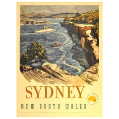
Original Vintage Travel Advertising Poster for Sydney Australia, New South Wales
By J. Richard Ashton
Located in London, GB
Activities and Immigration, "Holiday Adventure in Australia" with a map of Australia marking the NSW region
Lithograph, Paper
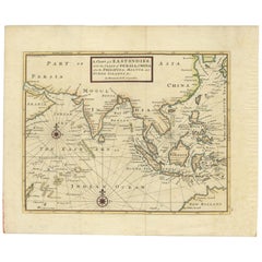
Antique Map of the East Indies by Moll '1745'
Located in Langweer, NL
Philippines and part of Australia. This map originates from 'A Collection of Voyages and Travels' by T
Paper

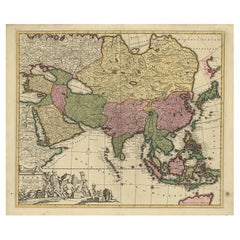
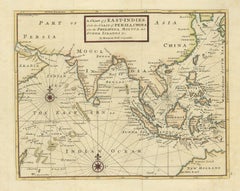
Antique Map of Asia by Keizer & de Lat, 1788
Located in Langweer, NL
the East Indies with the northern part of Australia. This map originates from 'Nieuwe Natuur- Geschied
Paper
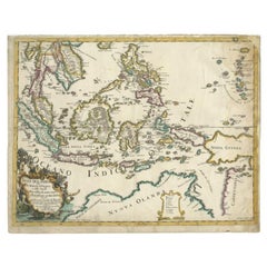
Antique Map of the East Indies by Rossi, 1683
Located in Langweer, NL
Antique map titled 'Isole Dell'India cioe le Molucche la Filippine e della Sonda Parte de Paesi di
Paper
Sold
H 39.77 in W 24.81 in D 0.04 in
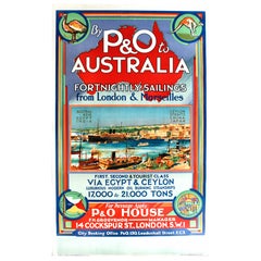
Original 1920s Cruise Ship Poster - By P&O to Australia from London & Marseilles
Located in London, GB
over a map of Australia with an emu and kangaroo at the top, a scene of a busy harbour port town with
Paper

Sold
H 24.02 in W 18.12 in D 0.04 in
Original Vintage Sport Poster Levi's Moscow 1980 Olympic Games Australia Swimmer
Located in London, GB
diving reflected from a map of Australia floating above in the distance, the Levi's logo and stylised
Paper
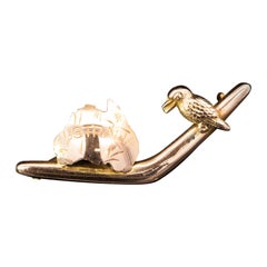
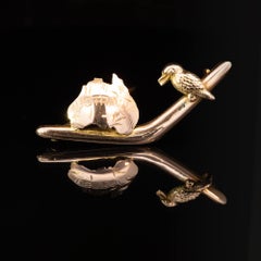
9K Rose Gold Federation Boomerang & Kookaburra Brooch Circa 1901
Located in ADELAIDE, SA
One 9k rose gold boomerang brooch with a map of Australia and a kookaburra. Celebrating the
Rose Gold
Sold
H 35.04 in W 22.45 in D 0.04 in
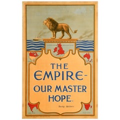
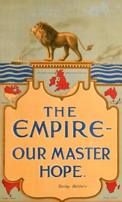
Original Antique Poster British Empire Our Master Hope Britain Stanley Baldwin
Located in London, GB
a map in red of the United Kingdom of Great Britain and Ireland at the top with maps of Australia
Paper
Sold
H 29.93 in W 20.08 in D 0.04 in
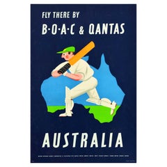
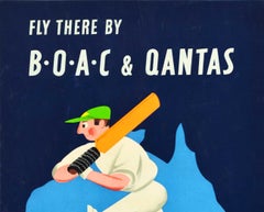
Original Vintage Travel Poster BOAC QANTAS Airlines Australia Cricket Map Design
By Aldo Cosomati
Located in London, GB
a colourful sport design depicting a cricket player holding a bat and stepping forward on a map
Paper
Sold
H 24.02 in W 18.12 in D 0.04 in
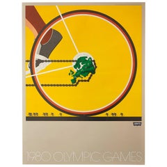
Set of 6 Original Vintage Posters 1980 Moscow Olympic Games Levi's Sport Design
Located in London, GB
reflected from a map of Australia floating above in the distance. Artist: Bryan Honkawa. [3] Asia
Paper
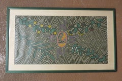

Dream
Located in Pasadena, CA
from the sky by a bird. It is above all a map of the Australian desert. The work is by an unknown
Acrylic

Large Original Vintage Map of Australia, circa 1920
Located in St Annes, Lancashire
Great map of Australia Original color. Good condition Published by Alexander Gross
Paper

Large Original Vintage Map of Australia, circa 1920
Located in St Annes, Lancashire
Great map of Australia Original color. Good condition Published by Alexander Gross
Paper

Large Original Vintage Map of Australia, circa 1920
Located in St Annes, Lancashire
Great map of Australia Original color. Good condition Published by Alexander Gross
Paper
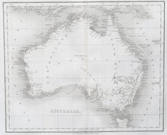
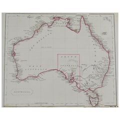
Original Antique Map of Australia by Thomas Clerk, 1817
Located in St Annes, Lancashire
Great map of Australia Copper-plate engraving Drawn and engraved by Thomas Clerk, Edinburgh
Paper

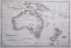
Original Antique Map of Australia by Becker, circa 1840
Located in St Annes, Lancashire
Great map of Australia Steel engraving with original color outline Engraved by Becker
Paper

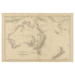
Antique Map of Australia by A & C. Black, 1870
Located in Langweer, NL
Antique map titled 'Australia'. Original antique map of Map of Australia. This map originates from
Paper


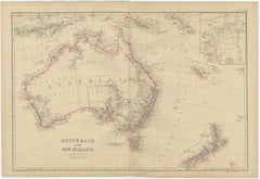
Large Original Antique Map of Australia, Fullarton, C.1870
Located in St Annes, Lancashire
Great map of Australia From the celebrated Royal Illustrated Atlas Engraved by Swanston after
Paper

Antique Map of Australia by C. Gräf, 1857
Located in Langweer, NL
Antique map titled 'Australien'. Map of Australia, New Zealand, part of China, Japan and Southeast
Paper

Antique Map of Australia and the East Indies by Johnson, '1872'
Located in Langweer, NL
Antique map titled 'Johnson's Australia and East Indies'. Original map of Australia and the East
Paper


Antique Map of Australia and New Zealand by H. Kiepert, 1874
Located in Langweer, NL
Antique map titled 'Continent von Australian und Neuseeland'. Large and detailed map of Australia
Paper
Sold
H 10.12 in W 12.84 in D 0.01 in
Antique Map of Australia and Oceania – Physical Relief Map by Hachette, c.1883
Located in Langweer, NL
Antique Map of Australia and Oceania – Physical Relief Map by Hachette, c.1883 Description: This
Paper

Sold
H 8.67 in W 10.24 in
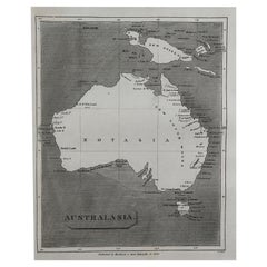
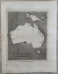
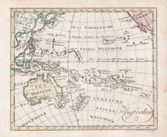
'Australien', antique map of Australia, New Zealand, Indonesia, SW Pacific, 1812
Located in Melbourne, Victoria
). Published in Augsburg, circa 1812. Early German map of Australia. The imperial city of Augsburg was a
Engraving