Items Similar to German Antique Map of Southeastern Australia, 1904


Want more images or videos?
Request additional images or videos from the seller
1 of 5
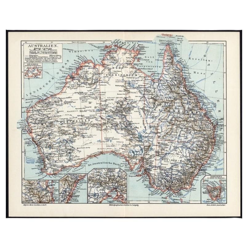
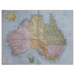
German Antique Map of Southeastern Australia, 1904
About the Item
This large antique map is taken from; 'Andrees Allgemeiner Handatlas in 126 Haupt-Und 139 Nebenkarten', Bielefeld; Leipzig: Velhagen & Klasing 1899. Andrees Allgemeiner Handatlas was a major cartographic work published in several German and foreign editions 1881-1937. It was named after Richard Andree (1835-1912) and published by Velhagen & Klasing, Bielefeld and Leipzig, Germany. By using chromolithography, rather than copper plate engraving, but reproducing the maps from zinc plates that were etched in relief (just like letterpress printing), V & K was able to offer detailed maps at a much lower price than competing works, such as the 7th and 8th editions of Stielers Handatlas.
Artists and Engravers: Richard Andree (1835 - 1912) was, like his father Karl Andree, a German geographer noted for devoting himself especially to ethnography. His main work, however, is his Allgemeiner Handatlas (Leipzig, first edition 1881, final edition 1937), one of the most comprehensive world atlases of all times. The early editions of the Times Atlas of the World (1895-1900) are based on this atlas, as was Cassell's Universal Atlas.
Technic: Colour lithograph on a vellin type paper. Rear blank. Print originates from atlas. 100% authentic.
Date: 1904
Overall size: 17.3 x 10.8 inch
Image size: 0.001 x 14.4 x 9.6 inch.
- Dimensions:Height: 10.8 in (27.44 cm)Width: 17.3 in (43.95 cm)Depth: 0.001 in (0.03 mm)
- Materials and Techniques:
- Period:
- Date of Manufacture:1904
- Condition:Condition: Excellent; General age related toning and slight soiling; Please study scan carefully.
- Seller Location:Langweer, NL
- Reference Number:
About the Seller
5.0
Platinum Seller
These expertly vetted sellers are 1stDibs' most experienced sellers and are rated highest by our customers.
Established in 2009
1stDibs seller since 2017
1,922 sales on 1stDibs
Typical response time: <1 hour
- ShippingRetrieving quote...Ships From: Langweer, Netherlands
- Return PolicyA return for this item may be initiated within 14 days of delivery.
More From This SellerView All
- Antique Map of Southeastern Australia by F. von Stülpnagel, 1850Located in Langweer, NLAntique map titled 'Süd-Östlichen Australien'. Map of southeastern Australia with inset maps of southwest Australia and Tasmania compiled by the military cartographer Friedrich von S...Category
Antique Mid-19th Century Maps
MaterialsPaper
- German Antique Map of Australia, Meyers, 1885Located in Langweer, NLAustralien.' (Map of Australia. With inset maps of the large cities and Tasmania.) This attractive original old antique print / plate / map originate...Category
Antique 19th Century Maps
MaterialsPaper
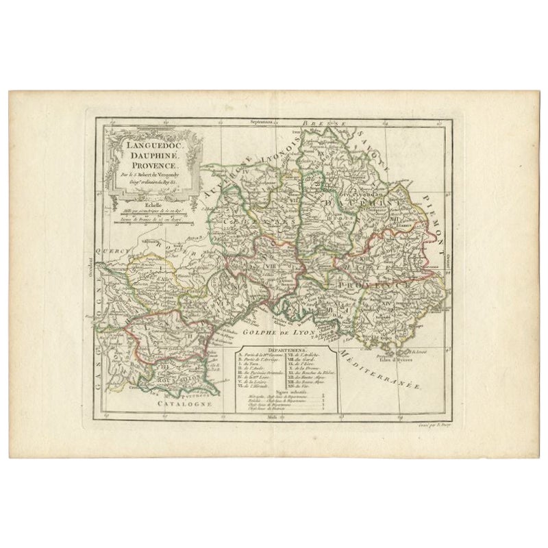
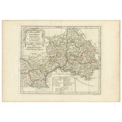
- Antique Map of Southeastern France by Vaugondy, c.1790Located in Langweer, NL"Antique map titled 'Languedoc, Dauphiné, Province'. Beautiful antique map of Southeastern France with decorative cartouche. Map includes topographical detail as well as a reference ...Category
Antique 18th Century Maps
MaterialsPaper
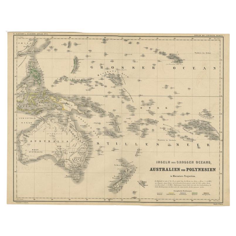
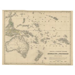
- German Antique Map of Australia and Polynesia, c.1870Located in Langweer, NLAntique map titled 'Inseln des Grossen Oceans, Australien und Polynesien'. Old map of Australia and Polynesia. This map originates from 'H. Kiepert's Kleiner Atlas der Neueren Geogra...Category
Antique 19th Century Maps
MaterialsPaper
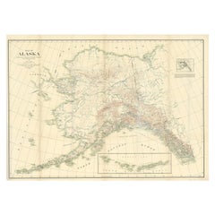
- Antique Map of Alaska '1904'Located in Langweer, NLAn antique map titled 'Map of Alaska Compiled Under the Direction of R.U. Goode, Geographer,' which relies on data from both the U.S. Geological Survey a...Category
Early 20th Century Maps
MaterialsPaper
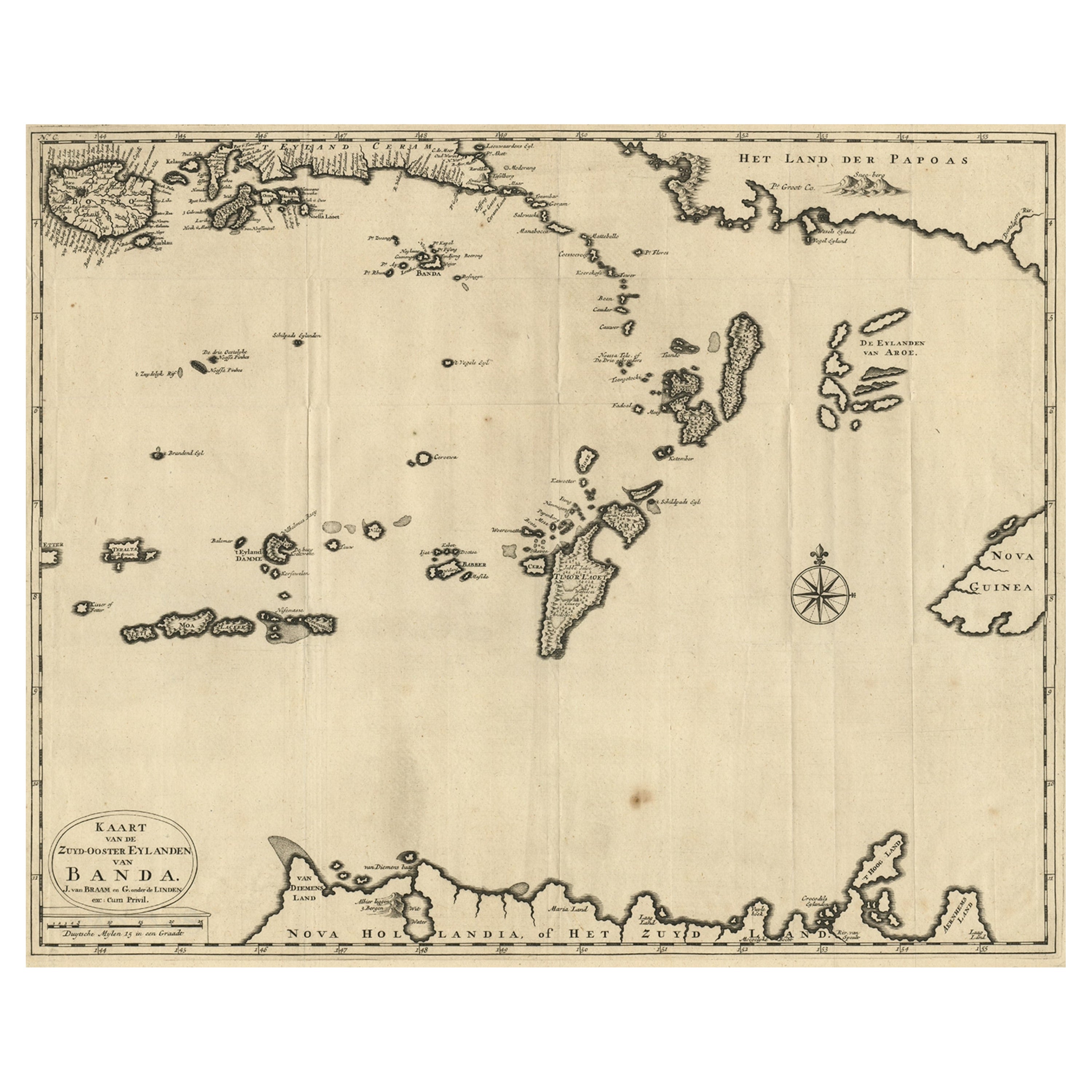
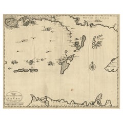
- Map of the Southeastern Part of the Banda Islands, Incl Northern Australia, 1726Located in Langweer, NLAntique map titled 'Kaart van de Zuyd-Ooster Eylanden van Banda.' Map of the southeastern part of the Banda islands. This map originates from 'Oud en Nieuw Oost-Indiën' by Franço...Category
Antique 1720s Maps
MaterialsPaper


You May Also Like
- 17th Century Nicolas Visscher Map of Southeastern EuropeLocated in Hamilton, OntarioA beautiful, highly detailed map of southeastern Europe by Nicolas Visscher. Includes regions of Northern Italy (showing the cities Bologna, Padua, and Venice), Bohemia, Austria (sho...Category
Antique 17th Century Dutch Maps
MaterialsPaper
- Large Original Antique Map of Australia, Fullarton, C.1870Located in St Annes, LancashireGreat map of Australia From the celebrated Royal Illustrated Atlas Engraved by Swanston after the drawing by Augustus Petermann Lithograph. Original color. Published by ...Category
Antique 1870s Scottish Maps
MaterialsPaper
- Large Original Antique Map of Australia by Sidney Hall, 1847Located in St Annes, LancashireGreat map of Australia Drawn and engraved by Sidney Hall Steel engraving Original colour outline Published by A & C Black. 1847 Unframed Free shipping.Category
Antique 1840s Scottish Maps
MaterialsPaper
- 17th Century Hand-Colored Map of Southeastern England by Mercator and HondiusBy Gerard MercatorLocated in Alamo, CAA 17th century copperplate hand-colored map entitled "The Sixt Table of England" by Gerard Mercator and Jodocus Hondius, published in Amsterdam in 1635 in 'Cosmographicall Descriptio...Category
Antique Mid-17th Century Dutch Maps
MaterialsPaper
- East German MapBy VEB Hermann HaackLocated in Baltimore, MDA brilliantly colourful map of the Leipzig, Karl Marx Stadt and Dresden area in the former German Democratic Republic by VEB Hermann Haack of Gotha.Category
Vintage 1970s German Maps
- Large Original Vintage Map of Australia, circa 1920Located in St Annes, LancashireGreat map of Australia Original color. Good condition Published by Alexander Gross Unframed.Category
Vintage 1920s English Maps
MaterialsPaper


Recently Viewed
View AllMore Ways To Browse
German Antiques
Germany Antiques
Technical Antiques
The Vintage Map
Antique Plate Germans
Australian Antiques
Large Map Of The World
The World Map Vintage
Map Of World Vintage
Map Of The World Vintage
Australia Antique Furniture
Map Australia
Maps Of Australia
Large Maps On Paper
Copper Map
Germany Vintage Map
Vintage German Map
Vintage Map Of Germany