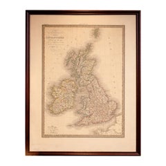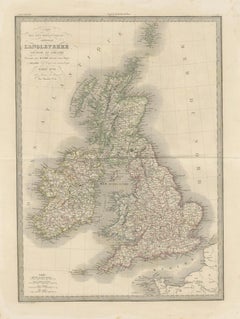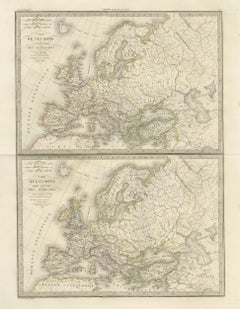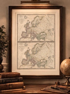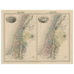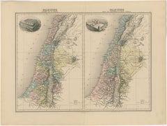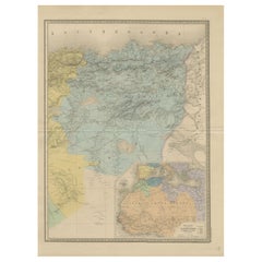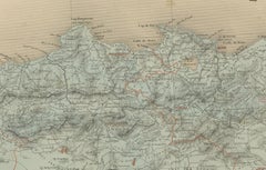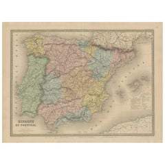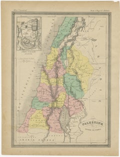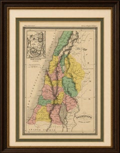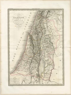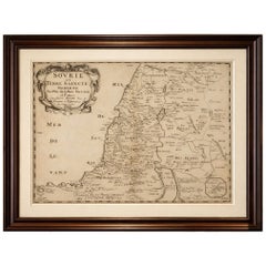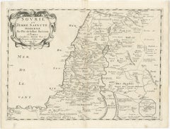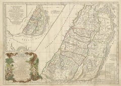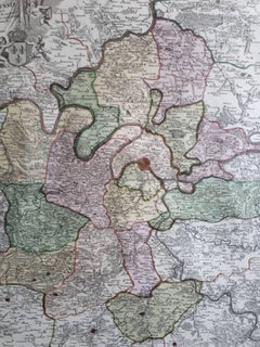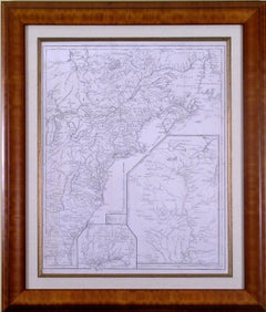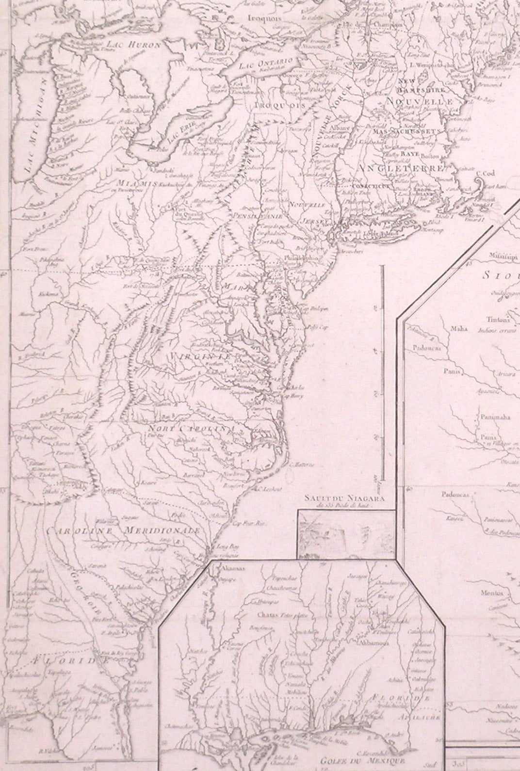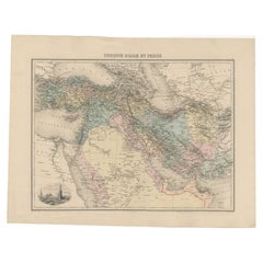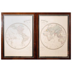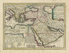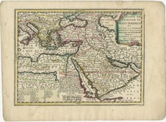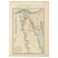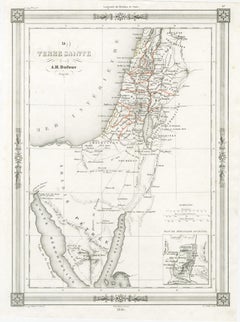
Holy Land Map, Jerusalem & Sinai — Dufour Biblical Map, Paris 1846
Located in Langweer, NL
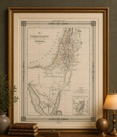
Title: Holy Land Map, Jerusalem & Sinai — Dufour Biblical Map, Paris 1846 This elegant and finely engraved map of the Holy Land was created by the French geographer A.H.
Category
Mid-19th Century French Antique Map Paris
Materials
Paper