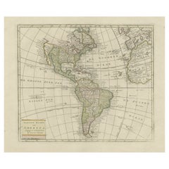
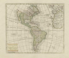
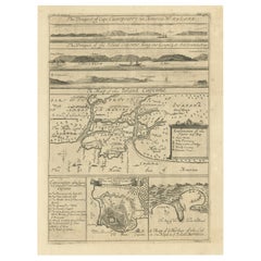
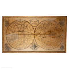
Choose from an assortment of styles, material and more with respect to the 18th century maps america you’re looking for at 1stDibs. Frequently made of
paper,
glass and
wood, every 18th century maps america was constructed with great care. There are many kinds of the 18th century maps america you’re looking for, from those produced as long ago as the 18th Century to those made as recently as the 18th Century. A 18th century maps america, designed in the
Baroque,
Georgian or
Louis XV style, is generally a popular piece of furniture. You’ll likely find more than one 18th century maps america that is appealing in its simplicity, but
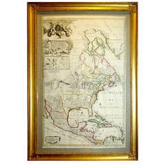
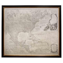
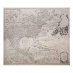
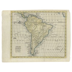
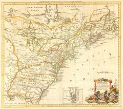
Thomas Kitchin,
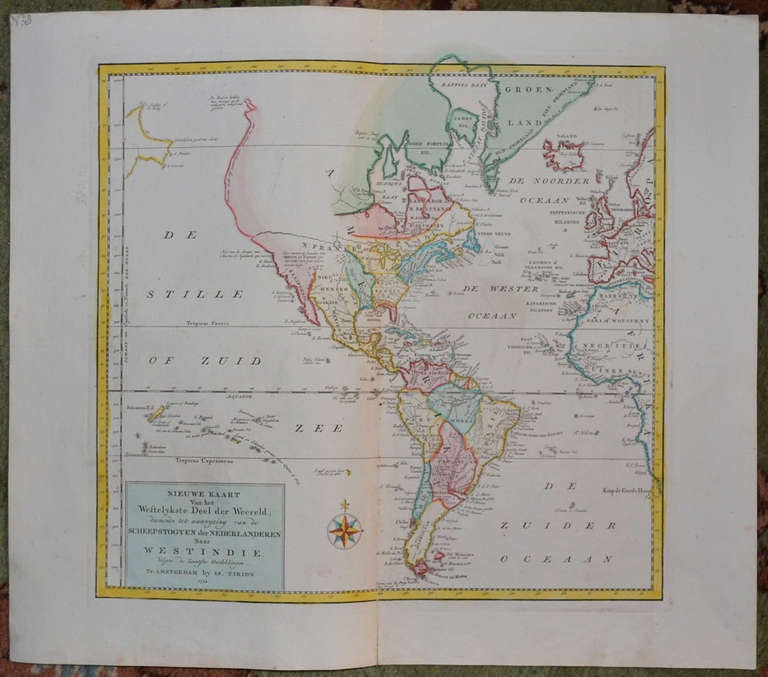
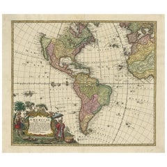
Isaak Tirion and
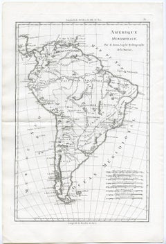
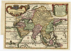
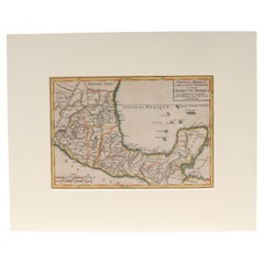
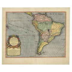
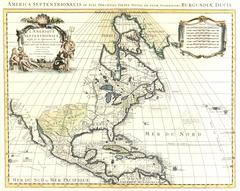
Jacques-Nicolas Bellin produced versions that are worth a look.
Prices for a 18th century maps america can differ depending upon size, time period and other attributes — at 1stDibs, they begin at $75 and can go as high as $225,000, while the average can fetch as much as $807.