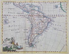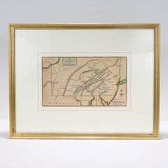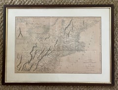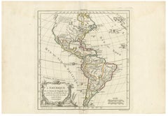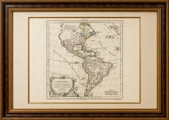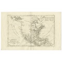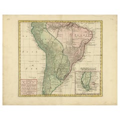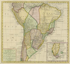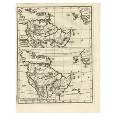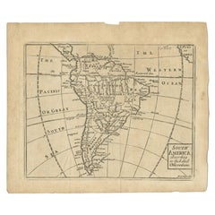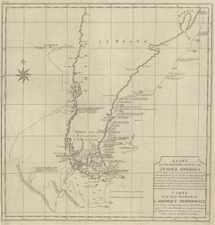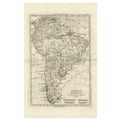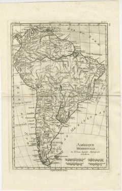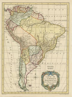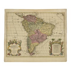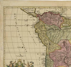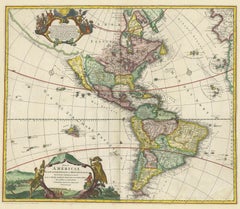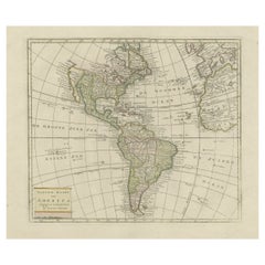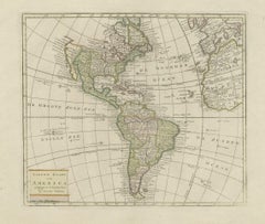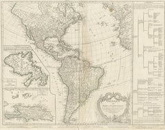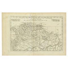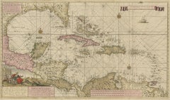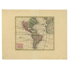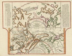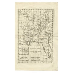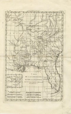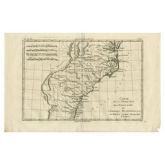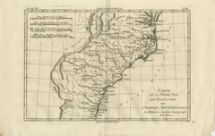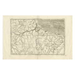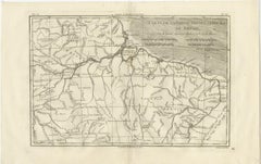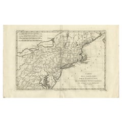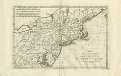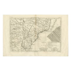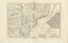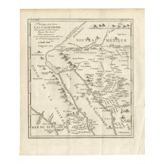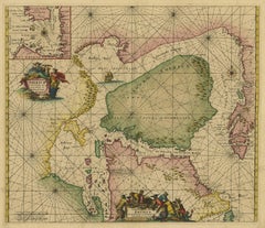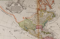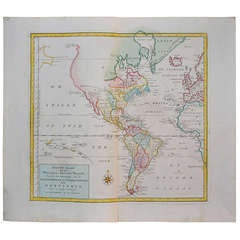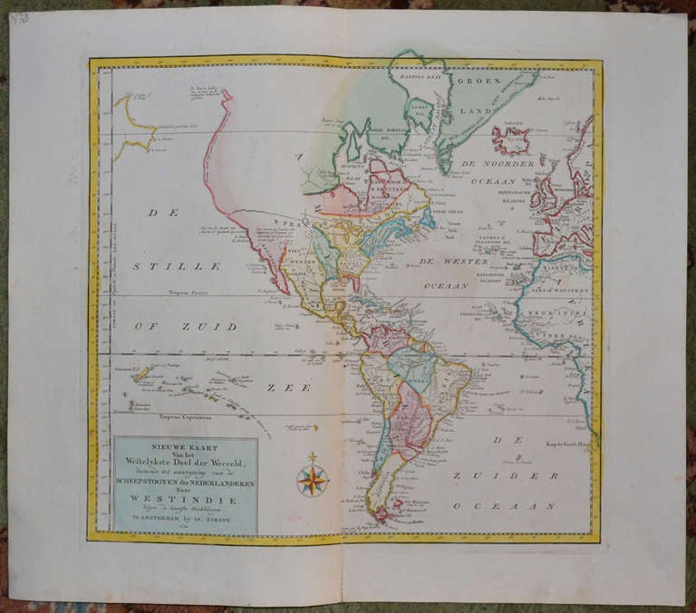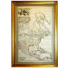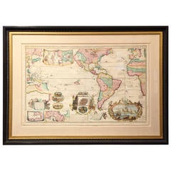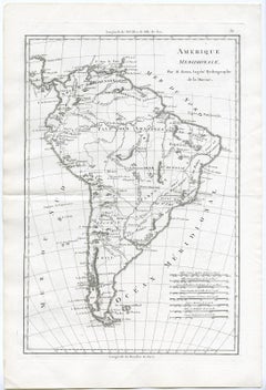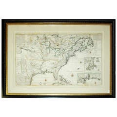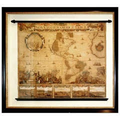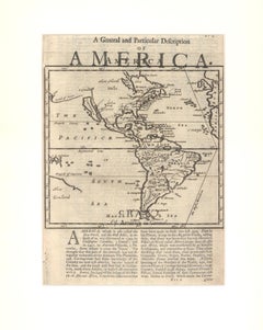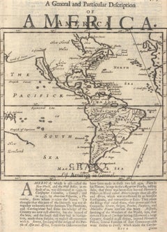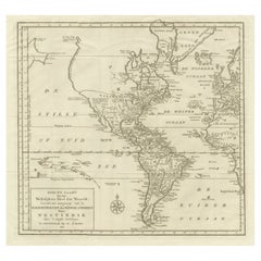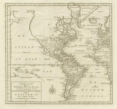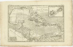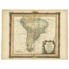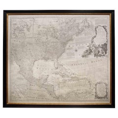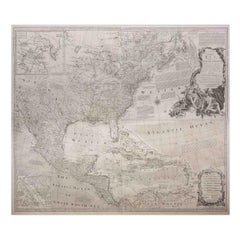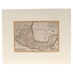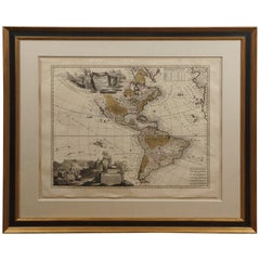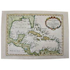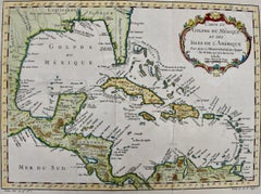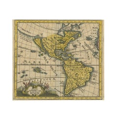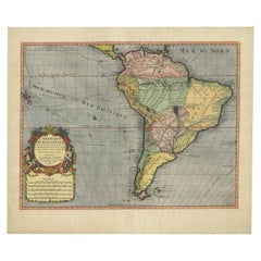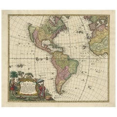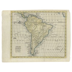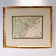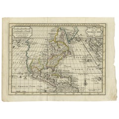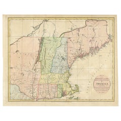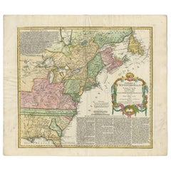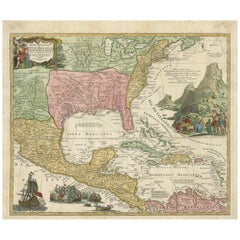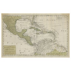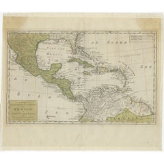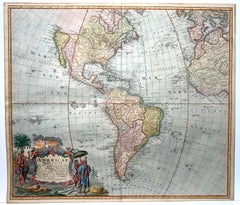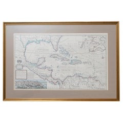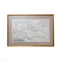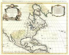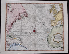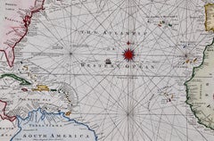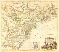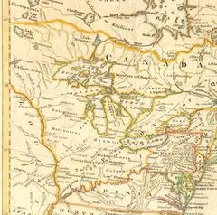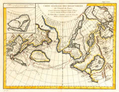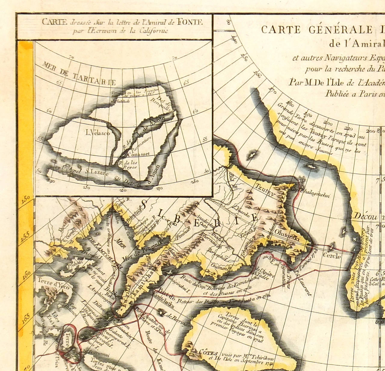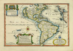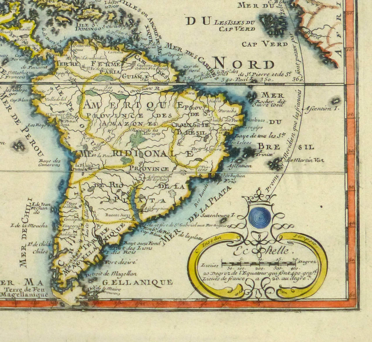
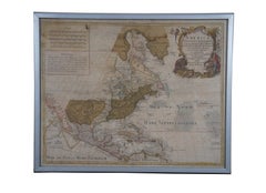
18th Century Antique Conrad Lotter Septentrionalis Meridionalis American Maps
Located in Dayton, OH
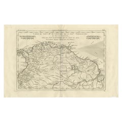
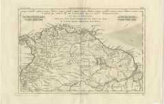
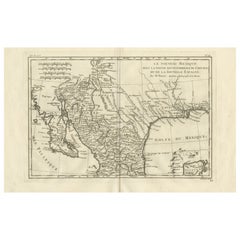
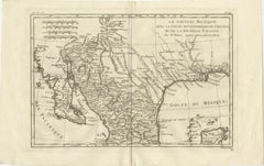
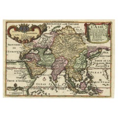
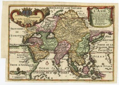
Lotter and his sons succeeded in building on the success and professional reputation of Seutter's work, becoming one of the most prominent mid-18th century map publishers working in ...
Category
Antique 18th Century Maps
Materials
Paper