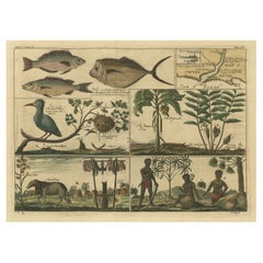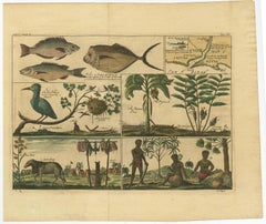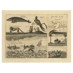
Antique Print of a Sea Otter, an Opossum, and a White Bear, c.1784
Located in Langweer, NL
for making discoveries in geography, navigation, astronomy in the southern and northern hemispheres
1780s Antique Navigation
Paper
Antique Print of a Sea Otter, an Opossum, and a White Bear, c.1784
Located in Langweer, NL
for making discoveries in geography, navigation, astronomy in the southern and northern hemispheres
Paper
Antique Chart of Dundee, Aberdeen and Montrose in Scotland, C.1774
By Captain Greenvile Collins
Located in Langweer, NL
decorative title cartouche, numerous navigational rhumb lines and soundings. Artists and Engravers
Paper
$321Sale Price|35% Off
Islands of Diversity: Portugal's Atlantic Archipelagos in 1903
Located in Langweer, NL
maritime details are also provided, suggesting their importance in navigation and trade during that time
Paper
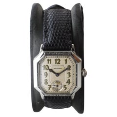
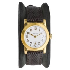
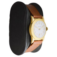
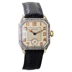
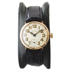
Waltham Nickel Campaign Watch
By Waltham Watch Company
Located in Long Beach, CA
the Korean war they designed timers, navigational devices, automobiles, aviation and nautical
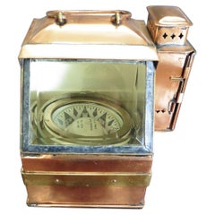
Pre World War I Nautical Compass by E.S.Ritchie
Located in Norwich, GB
scientific instruments. In 1857 he turned his attention to navigational instruments and begun making marine
Copper
Original Hand-Colored Bird Print of an Oilbird and a Crested Swift, 1845
Located in Langweer, NL
navigation in complete darkness. This bird's name originates from its feeding habits; it consumes fruits
Paper
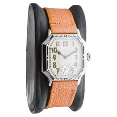
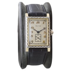
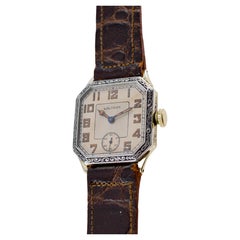
Waltham Gold Filled Art Deco Watch circa 1925 with Original Dial and Strap
By Waltham Watch Company
Located in Long Beach, CA
. Through WW 1, WW 2 and the Korean war they designed timers, navigational devices, automobiles, aviation
Gold-filled
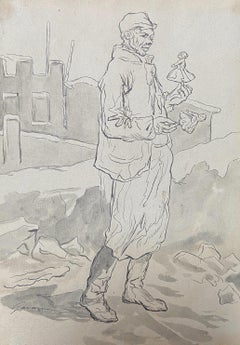
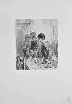
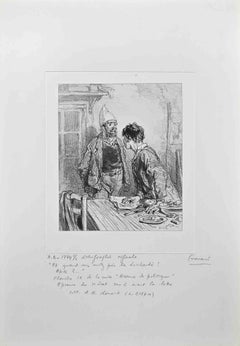
Paul Gavarni (1804-1866) The Puppeteer, "Janvier", original signed drawing
By Paul Gavarni
Located in Paris, FR
eagerly interested in the question of aerial navigation. It is said that he made experiments on a large
Ink
$605Sale Price|20% Off
Authentic 1644 Janssonius Map of the Champagne Region (Campania) in France
Located in Langweer, NL
. This map is not only a navigational tool but also a snapshot of a region rich in history and tradition
Paper
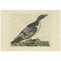
Rare Authentic Engraved Map of Large Part of Indonesia by Stavorinus, 1779
Located in Langweer, NL
Antique map titled 'Carte de la Navigation de Batavia a Amboina'. Rare chart of Indonesia including
Paper
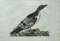
Waltham Two Tone 14Kt. Solid Gold Rectangle Art Deco Watch circa 1927
By Waltham Watch Company
Located in Long Beach, CA
the Korean war they designed timers, navigational devices, automobiles, aviation and nautical
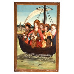
Gold-filled
$321Sale Price|20% Off
The Illustrated Map of the Var Department from the Atlas National Illustré, 1856
Located in Langweer, NL
boundaries makes the map not only a tool for navigation but also an educational resource, providing insights
Paper
$321Sale Price|20% Off
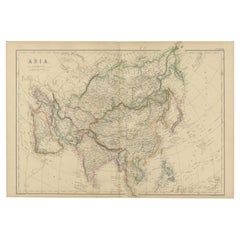
Old Map of Vaucluse, France: A Cartographic Celebration of Viticulture, 1852
Located in Langweer, NL
only a tool for navigation but also an educational resource, providing insights into the department's
Paper
$321Sale Price|20% Off
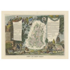
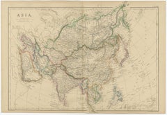
1852 Map of Haut-Rhin: An Illustrated Gateway to Alsace's Viticultural Splendors
Located in Langweer, NL
only a tool for navigation but also an educational resource, providing insights into the department's
Paper
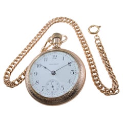
Waltham White Gold Filled Art Deco Watch with Original Dial circa 1926
By Waltham Watch Company
Located in Long Beach, CA
the Korean war they designed timers, navigational devices, automobiles, aviation and nautical
Gold-filled
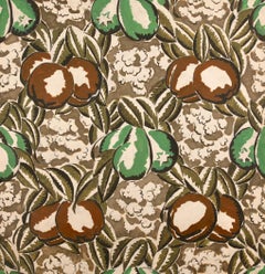
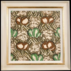
Projet de Tissus - Fauvist Still Life Study Gouache by Raoul Dufy
By Raoul Dufy
Located in Marlow, Buckinghamshire
antiquity, the history of agriculture and navigation, music and contemporary life. Between 1937 and 1940
Paper, Gouache
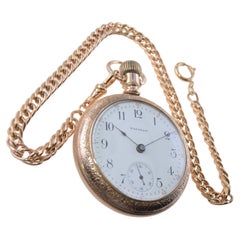
Waltham Gold-filled Hunters Case Pocket Watch circa 1896 with Rare Bloom Finish
By Waltham
Located in Long Beach, CA
the Korean war they designed timers, navigational devices, automobiles, aviation and nautical
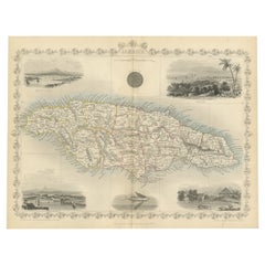
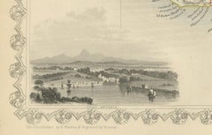
An Ornate and Historical Tallis Map of Jamaica with Decorative Vignettes, 1851
Located in Langweer, NL
the period. These picturesque and detailed insets would serve to make the map not just a navigational
Paper
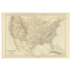
Antique Map of The United States of North America, 1882
Located in Langweer, NL
, suggests it was a comprehensive educational or navigational tool for its time. The map's scale and grid of
Paper
$274Sale Price|20% Off
Topographical and Administrative Cartography of Segovia in Spain, 1902
Located in Langweer, NL
navigation and administrative purposes, showing not only geographical features but also infrastructural
Paper
$302Sale Price|20% Off
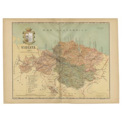
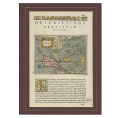
Cartographic Heritage: The 1901 Map of the Vizcaya Province in Spain
Located in Langweer, NL
likely served for administrative or navigational purposes at the beginning of the 20th century. The
Paper
$572Sale Price|43% Off
Antique Map: Estuaries of the Somme & Bresle, Northern France & Netherlands
By Jacobus Harrewijn
Located in Langweer, NL
towns and hubs of trade and navigation. The surrounding rivers and estuaries are meticulously rendered
Paper
$540Sale Price|20% Off
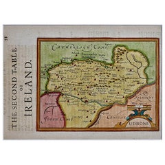
Southeastern Ireland: A 17th Century Hand Colored Map by Mercator and Hondius
By Gerard Mercator
Located in Alamo, CA
, allowing accurate latitude and longitude calculation and navigational routes to be drawn using straight
Engraving
Waltham Art Deco White Gold Filled with Original Dial Original Strap and Buckle
By Waltham
Located in Long Beach, CA
. Through WW 1, WW 2 and the Korean war they designed timers, navigational devices, automobiles, aviation
Gold-filled
Antique Map of Mar del Sur, Chile, Peru, New Guinea and Tierra del Fuego, 1621
Located in Langweer, NL
deux dernieres navigations (..)' published by J. Janssonius. It is one of the most famous early voyages
Paper
Antique Map of Cordes Bay, Port Famine & Fortescue Bay – Patagonia, 1774
Located in Langweer, NL
directional lines, reflecting their practical function for navigation. The inclusion of multiple bays on one
Paper
Antique Map of Cape Providence & St. David’s Cove – Strait of Magellan, 1774
Located in Langweer, NL
, engraved with shorelines, soundings, compass lines, and navigational markers. This multi-chart format
Paper
Antique Map of the Low Countries by Brué, 1822
Located in Langweer, NL
the Pacific (1800-1804). After his sea service, Brué applied his navigation and charting skills to
Paper
Waltham 14Kt Two Tone "Sapphire" Series Hand Engraved with Original Strap 1927
By Waltham Watch Company
Located in Long Beach, CA
and the Korean war they designed timers, navigational devices, automobiles, aviation and nautical
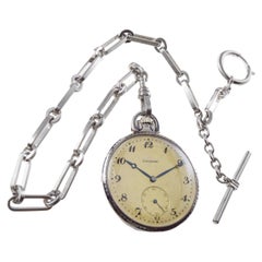
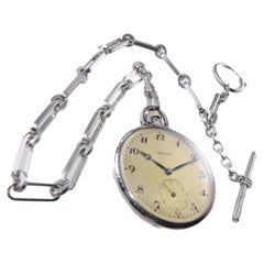
Longines Silver & Niello Watch from 1915 Dial by Stern Freres Matching Chain
By Longines
Located in Long Beach, CA
received navigational and chronometer ratings. They were not even arranged for presentation; they were
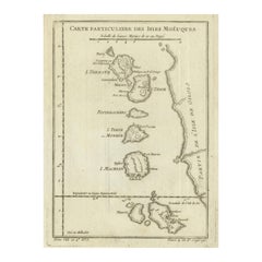
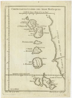
Antique Map of the Moluccas (Maluku Islands), Indonesia – Bellin, 18th Century
Located in Langweer, NL
of the Dutch East Indies. Maps such as this were essential tools for navigation, administration, and
Paper
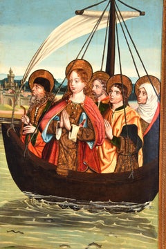
Mary Magdalene on her way to Marseille. Castilian school, 15th century.
Located in Madrid, ES
sea, without oars or sails or anything that she could help in the navigation with the idea that
Other
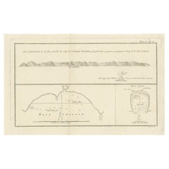
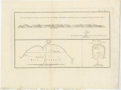
Antique Map of the Queen Charlotte Islands (Santa Cruz) Pacific – Carteret, 1774
Located in Langweer, NL
careful coastal profiling and soundings reflect the navigational priorities of the period, providing
Paper
$226Sale Price|20% Off
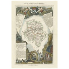
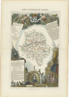
Mapping History: The Decorative Cartography of Indre-et-Loire by Levasseur, 1856
Located in Langweer, NL
captured, making this map not only a navigational tool but also a work of art. The addition of outline
Paper
$540Sale Price|20% Off
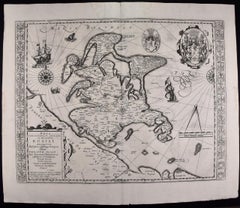
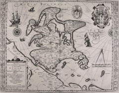
Rugen Island, Germany: An Early 17th Century Map by Mercator and Hondius
By Gerard Mercator
Located in Alamo, CA
, allowing accurate latitude and longitude calculation and navigational routes to be drawn using straight
Engraving
$940Sale Price|20% Off
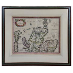
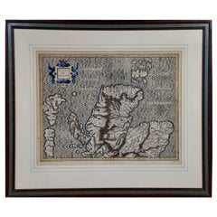
Northern Scotland: A 17th Century Hand-colored Map by Mercator
By Gerard Mercator
Located in Alamo, CA
navigation. It is still referred to as The Mercator projection.
Paper
$540Sale Price|20% Off
Southeastern Ireland: A 17th Century Hand Colored Map by Mercator and Hondius
By Gerard Mercator
Located in Alamo, CA
extending towards the poles, allowing accurate latitude and longitude calculation and navigational routes to
Paper
$321Sale Price|20% Off
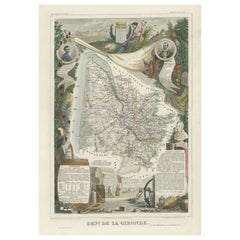
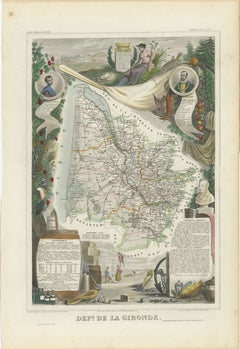
Levasseur's 1852 Cartographic Portrait of Gironde: Celebrating the Bordeaux Wine
Located in Langweer, NL
only a tool for navigation but also an educational resource, providing insights into the department's
Paper
Fleurs et Papillons - Fauvist Flowers Watercolor & Gouache by Raoul Dufy
By Raoul Dufy
Located in Marlow, Buckinghamshire
antiquity, the history of agriculture and navigation, music and contemporary life. Between 1937 and 1940
Paper, Watercolor, Gouache
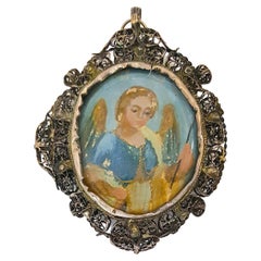
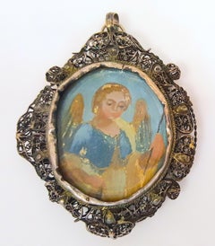
16thCentury Ultramarine Painting Angel RockCrystal Filigree Renaissance Pendant
Located in Chicago, IL
the early 1500s since navigation by Ferdinand Magellan, such a man would have traveled with a
Crystal, Silver, Enamel, Copper, Gold
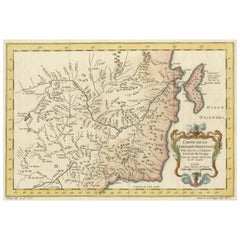
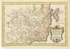
Charting Eastern Tartary: An 18th-Century Jesuit and English Collaboration, 1757
Located in Langweer, NL
suggests the importance of waterways for navigation, trade, and transportation in the region. 4
Paper
$940Sale Price|20% Off
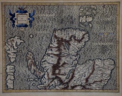
Northern Scotland: A 16th Century Hand-colored Map by Mercator
By Gerard Mercator
Located in Alamo, CA
south down, first described in 1569, became the standard map projection for navigation. It is still
Paper
A Historic View of Australia: Endeavour River, New Holland, 1773
Located in Langweer, NL
reef. The print provides a glimpse into the early exploration and navigation of this region. - Artist
Paper
19th Century, Baroque Full Bed, Original Four Fluted Poster Spanish Bed
Located in Miami, FL
Indian during this period. The Portuguese where the masters of navigation and conquest and started
Walnut
$709Sale Price|20% Off
Manx Shearwater – Antique Seabird Engraving by Nozeman & Sepp, 1809
Located in Langweer, NL
distinctive tube-nosed bill used for long-distance, storm-riding navigation. The plate comes from
Paper
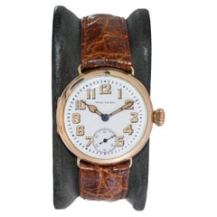
Waltham 14Kt. Gold Campaign Style Watch from 1915 with Original Enamel Dial 1929
By Waltham
Located in Long Beach, CA
, WW 2 and the Korean war they designed timers, navigational devices, automobiles, aviation and
14k Gold
Waltham 14Kt. Solid Gold Art Deco Watch with Original Dial from 1910
By Waltham
Located in Long Beach, CA
designed timers, navigational devices, automobiles, aviation and nautical equipment. The Waltham Watch
$384Sale Price|50% Off
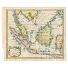
Java, Sumatra & Borneo Map – Bellin & van Schley Decorative Chart, 1750s
Located in Langweer, NL
only for navigation but also for the growing European interest in colonial expansion, trade, and
Paper
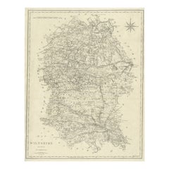
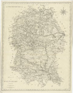
Antique Map of Wiltshire by John Cary, Engraved, England, 1805
Located in Langweer, NL
administrative centers. A compass rose appears in the upper right, adding both decorative and navigational appeal
Paper
Waltham Gold Filled Campaign Style with Original Flawless Enamel Dial from
By Waltham Watch Company
Located in Long Beach, CA
, WW 2 and the Korean war they designed timers, navigational devices, automobiles, aviation and
Gold-filled
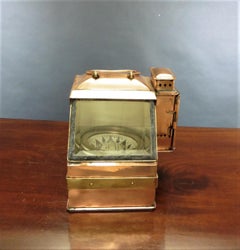
Pre World War 1 Nautical Compass by E.S.Ritchie
By E.S. Ritchie & Co
Located in Norwich, GB
and scientific instruments. In 1857 he turned his attention to navigational instruments and begun
Copper
Copperplate Set 5 Gentlemans Recreation in Two Parts Richard Blome SRoycroft L35
Located in BUNGAY, SUFFOLK
gentleman, beginning with summaries of logic, natural philosophy, astronomy, navigation, warfare, drawing
Paper
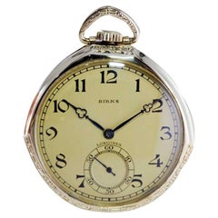
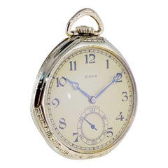
Longines for Birks Open Faced Pocket Watch with Original Dial, circa 1921
By Birks
Located in Long Beach, CA
that had received navigational and chronometer ratings. They were not even arranged for presentation
$340Sale Price|20% Off
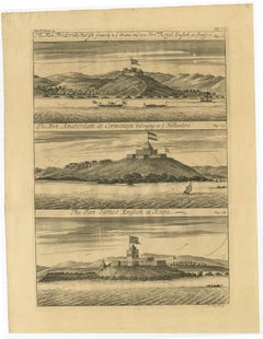
Copperplate Engraving Showing Forts on the West African Gold Coast, Ghana, 1744
Located in Langweer, NL
, witn an original preface giving an account of the progress of navigation,' &c., 1704, 4 vols, folio. It
Paper
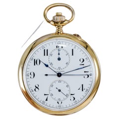
Longines 14kt Yellow Gold Open Face Chronograph Pocket Watch from 1920's
By Longines
Located in Long Beach, CA
navigational and chronometer ratings. They were not even arranged for presentation; they were merely in drawers
Yellow Gold
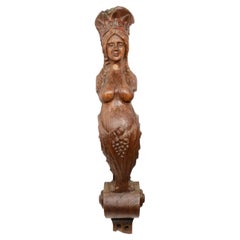
19th Century Carved Ship Figurehead Oak Wood Female Figure Antique Maritime
Located in Milan, IT
the hull, negatively affected the ships' navigation capabilities. This, and the high construction
Wood
Antique Print of Dogs of the Goldcoast and Guinea Gulf Birds and Fish, 1744
Located in Langweer, NL
preface giving an account of the progress of navigation,' &c., 1704, 4 vols, folio. It was issued to
Paper