Items Similar to Mapping History: The Decorative Cartography of Indre-et-Loire by Levasseur, 1856


Want more images or videos?
Request additional images or videos from the seller
1 of 9
Mapping History: The Decorative Cartography of Indre-et-Loire by Levasseur, 1856
About the Item
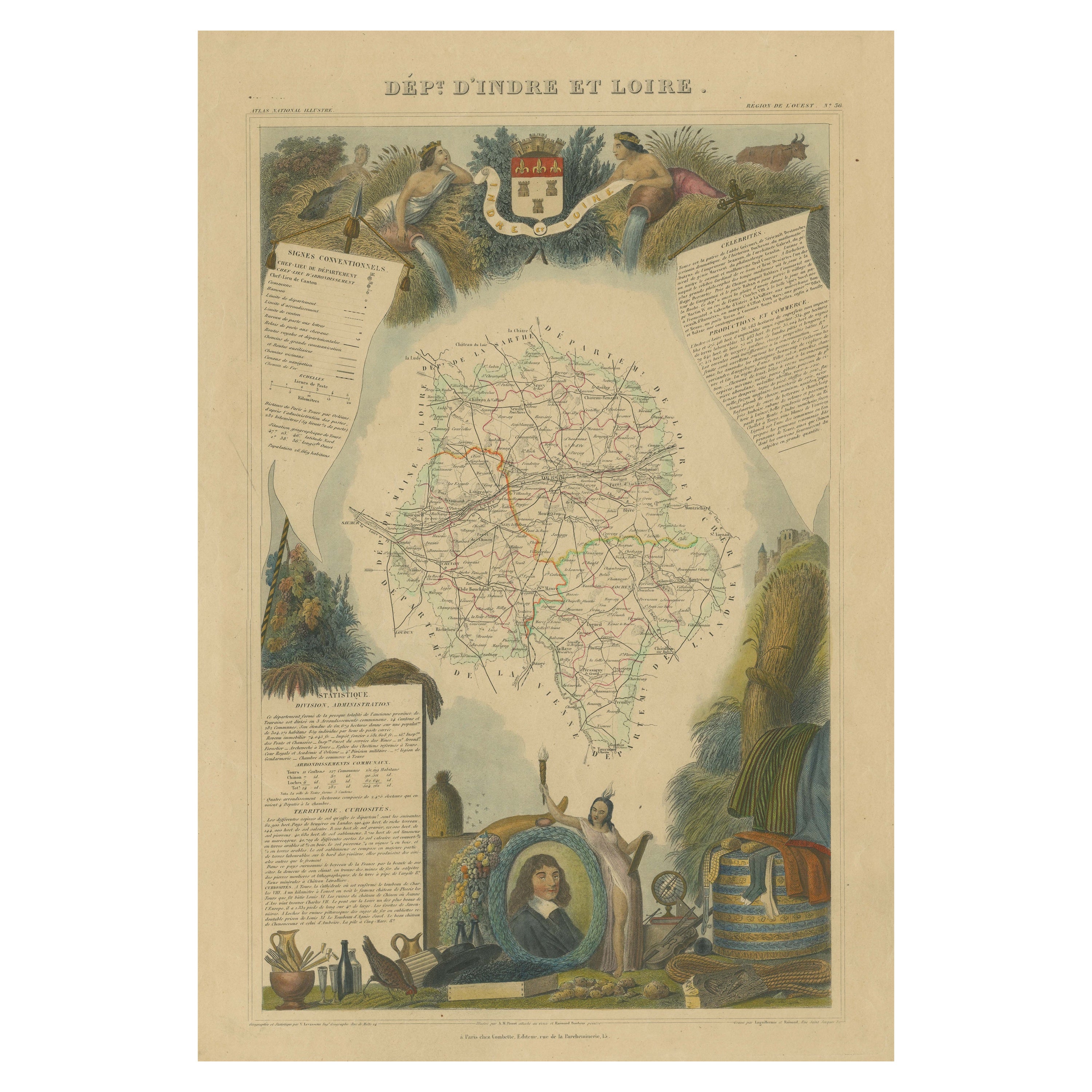
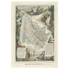
An original hand-colored map of the Département d'Indre-et-Loire created by Victor Levasseur in 1856. As an antique steel engraved map, it showcases the detailed craftsmanship and technology of mid-19th century map making. The method of steel engraving allowed for precise and intricate details to be captured, making this map not only a navigational tool but also a work of art.
The addition of outline hand colouring is particularly noteworthy. This technique, where colours are applied by hand to the engraved map, was a common practice at the time to highlight certain features such as boundaries, rivers, and cities. The hand colouring on this map would have been done meticulously, adding vibrancy and clarity to the engraved lines and making it easier to differentiate various geographical and political demarcations.
The map's wide margins are characteristic of the period's presentation style, offering space for additional annotations or simply serving to frame the map aesthetically when displayed. Such margins also suggest that the map was intended for a discerning audience, possibly for educational or decorative purposes in a library or study.
Victor Levasseur was renowned for his decorative maps, often embellished with artistic elements that went beyond mere geographical information. These elements could include vignettes, allegorical figures, and detailed illustrations surrounding the map itself, reflecting the cultural, historical, and economic aspects of the depicted area. While the description does not detail these decorative aspects, it's common for Levasseur's works to feature such embellishments, making his maps highly prized among collectors and historians for both their artistic value and cartographic accuracy.
This map of Département d'Indre-et-Loire, with its combination of technical precision in steel engraving and the beauty of hand colouring, represents a fascinating intersection of art and science in the 19th century. It is a testament to the era's dedication to detail, craftsmanship, and the aesthetic presentation of information.
The Département d'Indre-et-Loire, located in the central part of France within the region known as the Centre-Val de Loire, is rich in historical and cultural significance, with numerous important places highlighted on a map from 1856 by Victor Levasseur. Based on the region's known historical sites and cities, the following places are likely to be featured or of importance:
1. **Tours**: As the capital city of the Département d'Indre-et-Loire, Tours is a central hub of history, culture, and architecture. It is known for its old town, the Place Plumereau, Tours Cathedral, and its proximity to the Loire River, making it a likely focal point on the map.
2. **Amboise**: This town is famous for the Château d'Amboise, which is closely linked to French royal history and offers panoramic views of the Loire River. Leonardo da Vinci is buried here in the Chapel of Saint-Hubert, associated with the château.
3. **Chinon**: Known for its medieval fortress, the Château de Chinon, this town has deep historical roots, including connections to Joan of Arc and King Charles VII. The fortress and town would be significant landmarks.
4. **Villandry**: The Château de Villandry is renowned for its beautiful Renaissance gardens, which are some of the most impressive in France. While the château might be less emphasized in an 1856 map compared to cities and towns, it's an important site in the region.
5. **Loches**: This town features the Château de Loches, a medieval castle, and the Royal Lodge, noted for its Renaissance architecture. The town's history and architectural landmarks make it a place of interest.
6. **Azay-le-Rideau**: The Château d'Azay-le-Rideau is set on an island in the middle of the Indre River, showcasing the French Renaissance architectural style. It's one of the earliest French Renaissance châteaux and a jewel of architectural beauty.
7. **Langeais**: Known for the Château de Langeais, a castle that presents a mix of medieval and Renaissance elements. The château plays a significant role in French history, including the marriage of Charles VIII and Anne of Brittany.
These locations, along with the river systems, particularly the Loire and Indre rivers, vineyards, and the rich agricultural landscapes, would be among the key features likely highlighted on Levasseur's map. Maps from this period often emphasized both the natural geography and the human settlements and landmarks that defined a region.
- Dimensions:Height: 20.67 in (52.5 cm)Width: 14.34 in (36.4 cm)Depth: 0 in (0.02 mm)
- Materials and Techniques:
- Period:
- Date of Manufacture:1856
- Condition:Good. Central folding line or split professionally restored. Minor soiling around the edges. The image clean and decorative. Study the images carefully.
- Seller Location:Langweer, NL
- Reference Number:
About the Seller
5.0
Platinum Seller
These expertly vetted sellers are 1stDibs' most experienced sellers and are rated highest by our customers.
Established in 2009
1stDibs seller since 2017
1,928 sales on 1stDibs
Typical response time: <1 hour
- ShippingRetrieving quote...Ships From: Langweer, Netherlands
- Return PolicyA return for this item may be initiated within 14 days of delivery.
More From This SellerView All
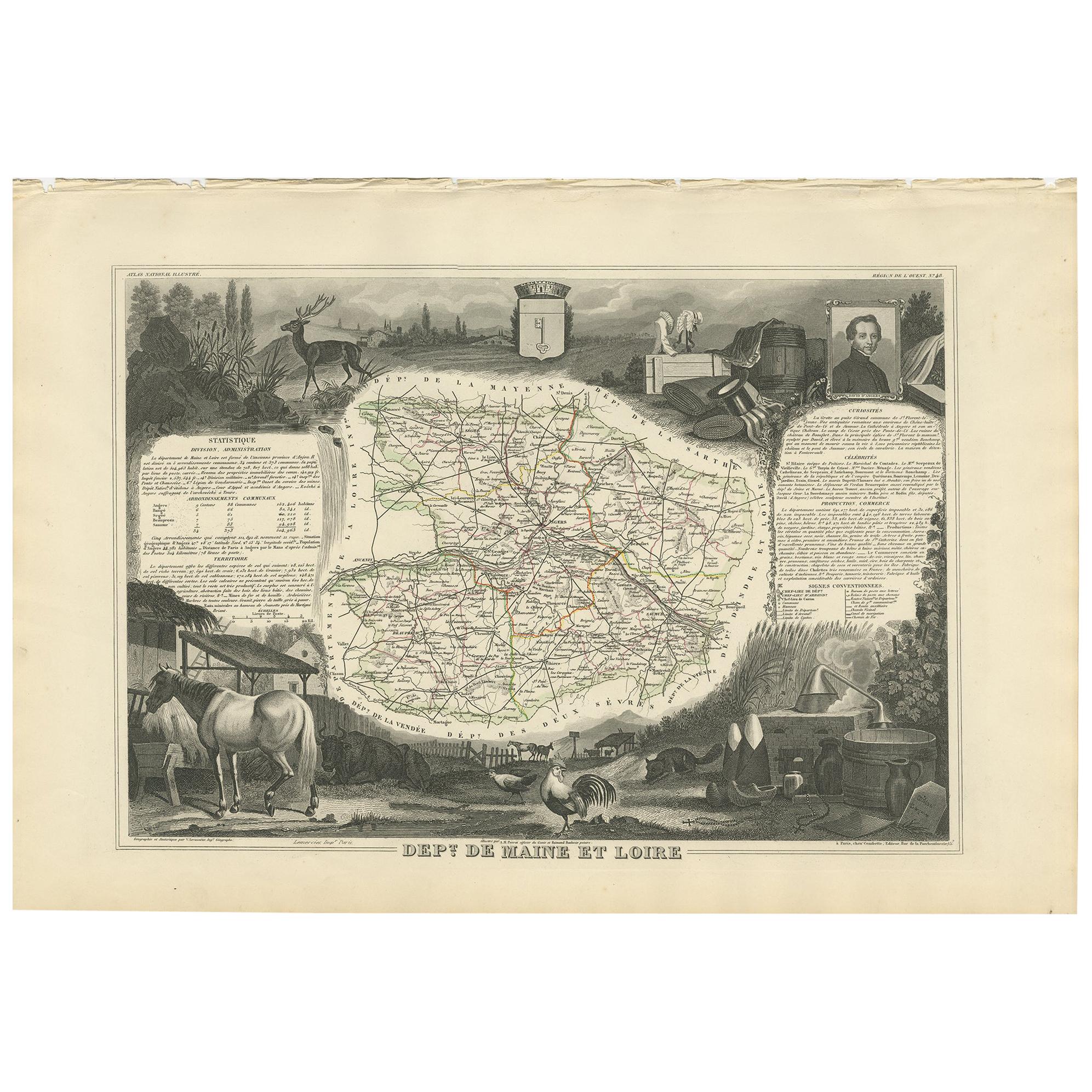
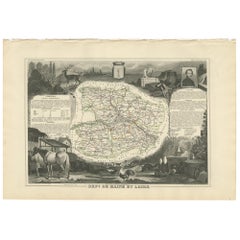
- Antique Map of Maine et Loire ‘France’ by V. Levasseur, 1854Located in Langweer, NLAntique map titled 'Dépt. de Maine et Loire'. Map of the French department of Maine et Loire, France. This area of France is part of the Loire Valley wine region, where nearly every ...Category
Antique Mid-19th Century Maps
MaterialsPaper
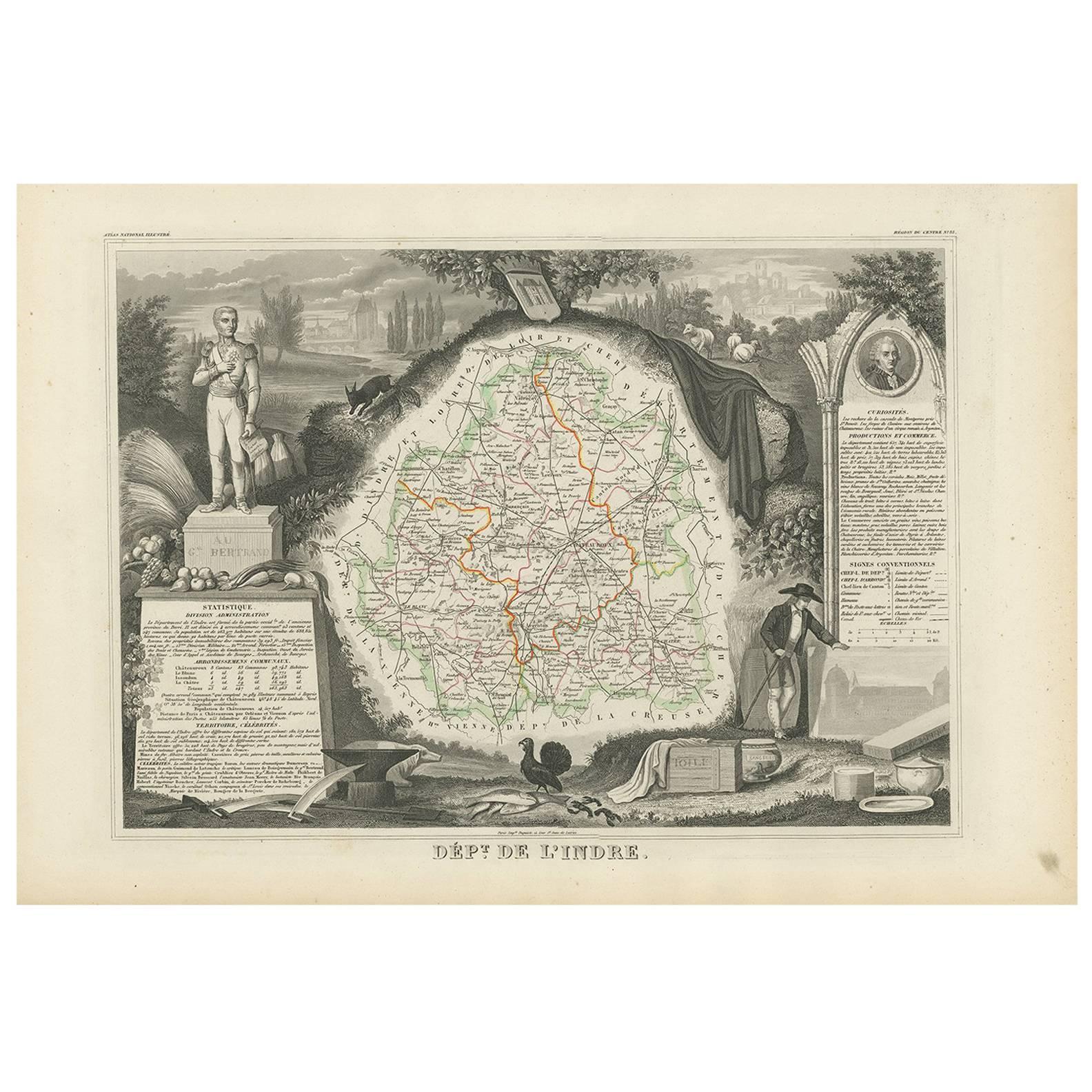
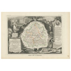
- Antique Map of Indre ‘France’ by V. Levasseur, 1854Located in Langweer, NLAntique map titled 'Dépt. de l'Indre'. Map of the French department of Indre, France. Part of the Loire Valley wine region, this area is known for its production of Chinon wines, typ...Category
Antique Mid-19th Century Maps
MaterialsPaper
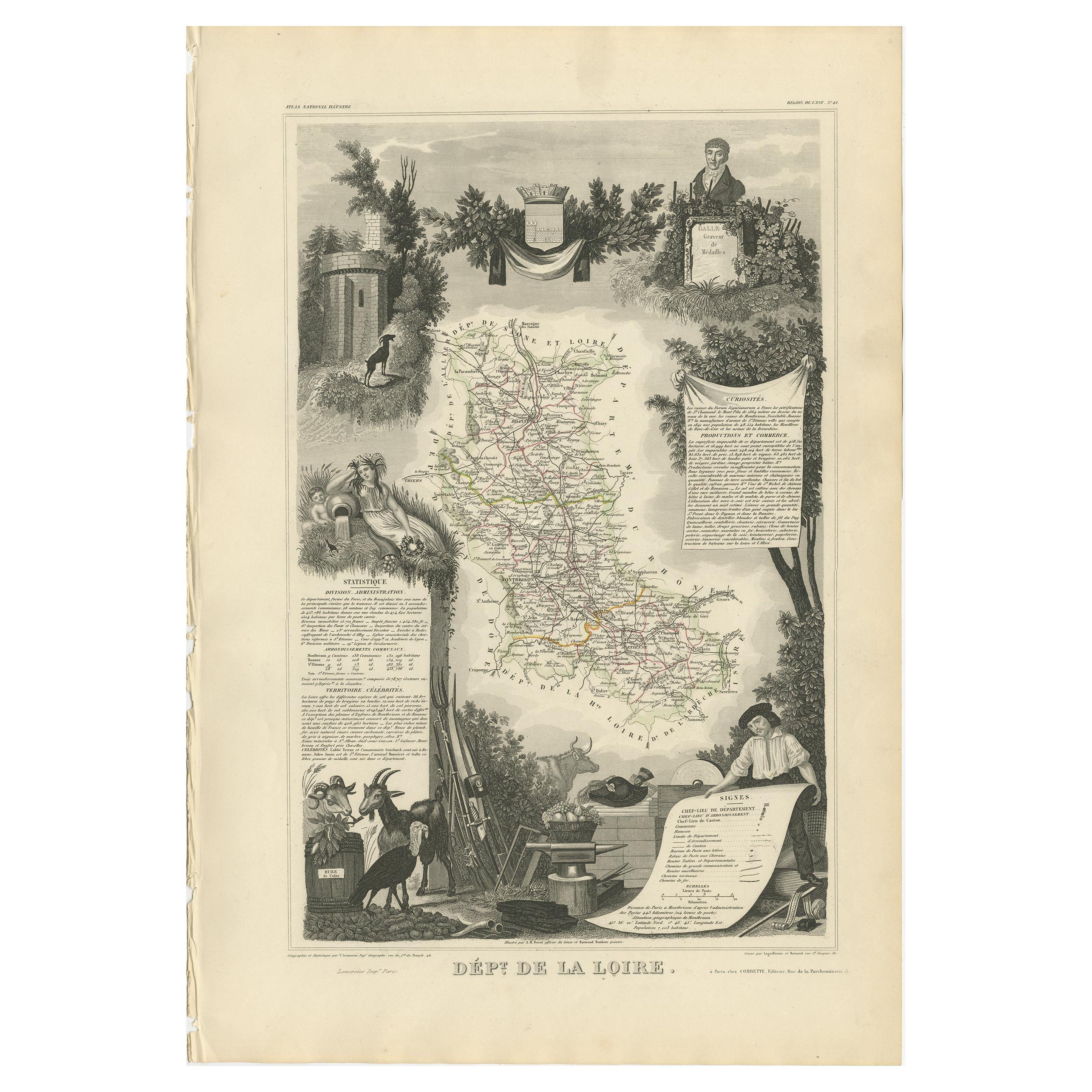
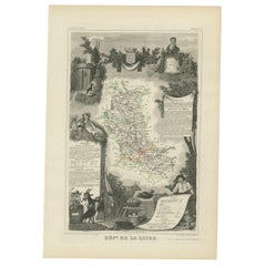
- Antique Map of Loire ‘France’ by V. Levasseur, 1854Located in Langweer, NLAntique map titled 'Dépt. de la Loire'. Map of the French department of Loire, France. This area of France is part of the Loire Valley wine growing region. The area includes 87 appel...Category
Antique Mid-19th Century Maps
MaterialsPaper
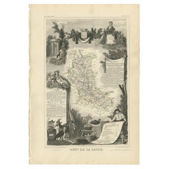
- Antique Map of Loire ‘France’ by V. Levasseur, 1854Located in Langweer, NLAntique map titled 'Dépt. de la Loire'. Map of the French department of Loire, France. This area of France is part of the Loire Valley wine growing region...Category
Antique Mid-19th Century Maps
MaterialsPaper
- Hand Colored Antique Map of the department of Indre and Loire, FranceBy Victor LevasseurLocated in Langweer, NLAntique map titled 'Dépt. d'Indre et Loire'. Map of the Department de L’Indre et Loire, France. This region is known for its fine wines, agriculture, distilled spirits, and cheese. T...Category
Antique Mid-19th Century Maps
MaterialsPaper
- Levasseur's 1852 Cartographic Portrait of Gironde: Celebrating the Bordeaux WineLocated in Langweer, NLThis original hand-colored map is from the "Atlas National Illustré," a work by Victor Levasseur, a French geographer and cartographer known for his richly illustrated maps. The map is a steel engraving, which was a common and precise method for creating maps at the time. The inclusion of the publisher's name, A. Combette from Paris, and the addresses of the various contributors to the map's creation, like the engravers Laguillermie and Rainaud, adds to the historical context of the piece. The margins of the map are adorned with detailed illustrations that serve as a visual encyclopedic reference to the region's geography, economy, and notable figures. The use of color along the boundaries makes the map not only a tool for navigation but also an educational resource, providing insights into the department's landscape, economy, and cultural significance. The text included in the map's design provides statistical information, a map legend, and discussions about the land, local curiosities, notable personalities, products, and commerce, which would have been invaluable for education and reference at the time. The 'Atlas National Illustré' is celebrated for its combination of cartographic detail and artistic embellishment, making it a valuable cultural artifact. It represents the height of decorative map-making in the 19th century, alongside the works of John Tallis and Archibald Fullarton. This uploaded image is a detailed and colored map of the Département de la Gironde from Victor Levasseur's "Atlas National Illustré." Similar to the other maps from this series, it features a central map with the title 'Dépt. de la Gironde' at the bottom. Surrounding the map are decorative vignettes and elements that bring to life the cultural and economic aspects of the Gironde department. On the left, there is likely statistical information about the department and its subdivisions, reflecting the population and administrative details. This is framed by images that may represent the local industries and natural resources, such as wine, which is a central feature of the Bordeaux region located within Gironde. The right side of the map contains a textual history and descriptions of the region, coupled with portraits of notable figures, possibly historic personages or contributors to the region's cultural and economic development. The illustrations often include agricultural products, symbols of commerce, and scenes of daily life, as well as architectural landmarks. The presence of wine bottles, barrels, and vineyards in the illustrations would be indicative of the Gironde's prominence in wine production, particularly Bordeaux wines, which are esteemed worldwide. These engravings serve to emphasize the richness of the land and the sophistication of its products. Maps from this era, especially those by Levasseur, are notable for their combination of art and education, providing a snapshot not only of the geography but also of the societal and economic conditions of the time. The detailed engravings also suggest that this map was as much a decorative piece as it was a functional one, intended for display and reference by those interested in the illustrated region. The Gironde department in France is renowned for its significant contribution to the wine industry, particularly through the Bordeaux wine region. A bit more about the important places within Gironde and the types of wine the area is known for: 1. **Bordeaux**: The capital city of the department and the heart of the wine region. It's not only an urban center but also a hub for the wine trade. 2. **Médoc**: North of Bordeaux, known for prestigious châteaux and wines like Margaux, Saint-Julien, Pauillac, and Saint-Estèphe. 3. **Saint-Émilion**: East of Bordeaux, recognized for its full-bodied red wines and the picturesque medieval town. 4. **Pomerol**: Also near Saint-Émilion, smaller than its neighbor but equally renowned, particularly for Château Pétrus...Category
Antique 1850s Maps
MaterialsPaper

You May Also Like
- Fine Antique 1856 Hand Watercolour Map of Dept Des Hautes Alpes by Levasseur'sLocated in GBWe are delighted to offer for sale this stunning 1856 hand watercolour map of the Austrian Alps titled Dept Des Hautes Alpes taken from the Atlas National...Category
Antique 1850s French Early Victorian Maps
MaterialsPaper
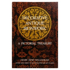
- Decorative Vintage Ironwork, a Pictorial HistoryLocated in Bradenton, FLDecorative Vintage Ironwork, A Pictorial History by Henry Rene D'Allemagne. Softcover book, 413 pages, published in 1968 by Dover Publications, Inc. o...Category
Vintage 1960s Books
MaterialsPaper
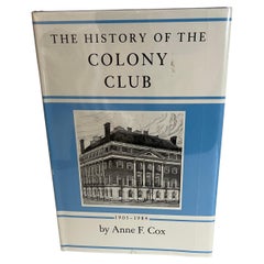
- The History of the Colony Club by Ann F. Cox BookLocated in Stamford, CTThe History of the Colony Club by Ann F. Cox. Hardcover, 1st edition. 1984. Privately printed by the club. The Colony Club is a women-only private social club in New York City.Category
Vintage 1980s American Belle Époque Books
MaterialsPaper
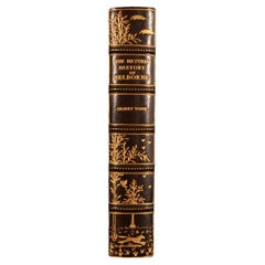
- 1908 The Natural History of SelborneBy Gilbert WhiteLocated in Bath, GBA beautiful Riviere bound copy of this popular natural history work by ornithologist Gilbert White. An exceptionally bound work, with natural history motifs gilt tooled to the spine....Category
Antique Early 1900s British Books
MaterialsPaper
- Hidden History of the Kovno GhettoLocated in valatie, NYHidden History of the Kovno Ghetto. New York: Little, Brown and Company, 1998. Second printing hardcover with dust jacket. 255 pp. An important book published by the United States Ho...Category
20th Century American Books
MaterialsPaper
- History of the Nineteenth Army Corps by Richard B. IrwinLocated in valatie, NYHistory of the Nineteenth Army Corps by Richard B. Irwin. Elliott's Book Shop Press, Baton Rouge, 1985. Reprint of the original 1892 Edition. 1st Ed thus hardcover with no dust jacket. The history of the famous 19th Corps, a unit in the Union Army famed for its successes and daring during the American Civil War. This edition includes the original battlefield maps. A series of daring victories swiftly established the special reputation of the 19th. At the height of their prowess, the company demonstrated great martial skill during the Siege of Port Hudson and in Shenandoah Valley. Notably, the 19th had a large contingent of black soldiers...Category
Vintage 1980s American Books
MaterialsPaper

Recently Viewed
View AllMore Ways To Browse
Georg Barque
F V Hayden
Dirk Hartog
De Nile Antiques
Serbia Map
Siam Map
Marthas Vineyard Map
Native American Mountie
Nicolaes Visscher II On Sale
Pierre Fran�ois Tardieu On Sale
Union Pacific Map
Vintage Marthas Vineyard Map
Yemen 1789
Old French Map
Levasseur A
Antique Map Copenhagen
Map Prussia Germany
Frontier Map