English Engravings

to
106
216
184
151
101
67
58
58
33
33
31
27
21
19
17
12
12
11
10
10
9
9
6
6
5
5
4
3
3
3
3
2
2
2
2
2
1
1
1
1
1
1
1
1
217
160

Use search to find more

18
17
11
11
9

Use search to find more

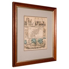
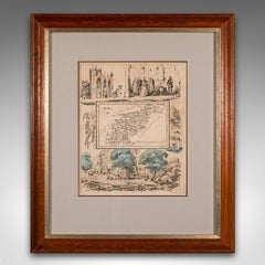
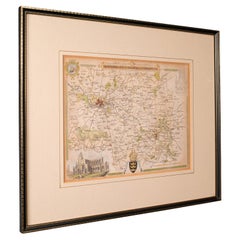
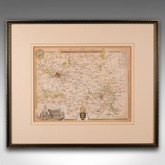
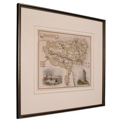
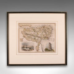
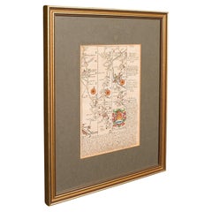
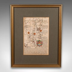
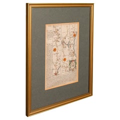
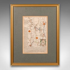
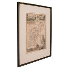
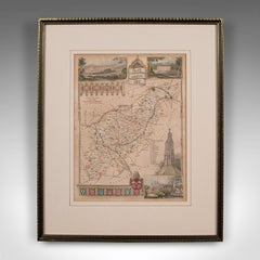
Antique Lithography Map, Northamptonshire, English, Framed Cartography, C.1860

Antique Lithography Map, Northamptonshire, English, Framed Cartography, C.1860

Located in Hele, Devon, GB

This is an antique lithography map of Northamptonshire. An English, framed atlas engraving of cartographic interest, dating to the mid 19th century and later.

Category

Antique Mid-19th Century British Victorian Maps

Materials

Wood
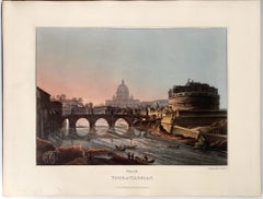
The Tomb of Hadrian
The Tomb of Hadrian

The Tomb of Hadrian

By Matthew Dubourg

Located in Middletown, NY

London: J. Taylor, 1820. Etching with aquatint and engraving with hand coloring in watercolor on cream wove paper with a gilded edge, 11 1/2 x 12 1/4 inches (290 x 312 mm), full, bu...

Category

Mid-19th Century English School Landscape Prints

Materials

Watercolor, Handmade Paper, Engraving, Etching, Aquatint

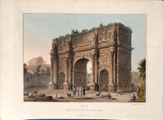
Arch of Constantine
Arch of Constantine

Arch of Constantine

By Matthew Dubourg

Located in Middletown, NY

London: J. Taylor, 1820. Etching with aquatint and engraving with hand coloring in watercolor on cream wove paper with a gilded edge, 11 1/2 x 14 3/4 inches (290 x 374 mm), the full...

Category

Mid-19th Century English School Landscape Prints

Materials

Watercolor, Handmade Paper, Engraving, Etching, Aquatint

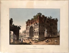
Temple of Janus Quadrifons

Temple of Janus Quadrifons

By Matthew Dubourg

Located in Middletown, NY

London: J. Taylor, 1820. Etching with aquatint and engraving with hand coloring in watercolor on cream wove paper with a gilded edge, 11 1/2 x 14 3/4 inches (290 x 374 mm), the full...

Category

Mid-19th Century English School Landscape Prints

Materials

Watercolor, Handmade Paper, Engraving, Etching, Aquatint

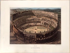
The Coliseum (aerial view)

The Coliseum (aerial view)

By Matthew Dubourg

Located in Middletown, NY

London: J. Taylor, 1820. Etching with aquatint and engraving with hand coloring in watercolor on cream wove paper with a gilded edge, 11 1/2 x 14 3/4 inches (290 x 374 mm), the full...

Category

Mid-19th Century English School Landscape Prints

Materials

Watercolor, Handmade Paper, Engraving, Etching, Aquatint

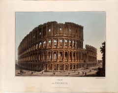
The Coliseum
The Coliseum

The Coliseum

By Matthew Dubourg

Located in Middletown, NY

London: J. Taylor, 1820. Etching with aquatint and engraving with hand coloring in watercolor on cream wove paper with a gilded edge, 11 1/2 x 14 3/4 inches (290 x 374 mm), the full...

Category

Mid-19th Century English School Landscape Prints

Materials

Watercolor, Handmade Paper, Engraving, Etching, Aquatint

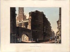
Forum of Nerva
Forum of Nerva

Forum of Nerva

By Matthew Dubourg

Located in Middletown, NY

London: J. Taylor, 1820. Etching with aquatint and engraving with hand coloring in watercolor on cream wove paper with a gilded edge, 11 1/2 x 14 3/4 inches (290 x 374 mm), the full...

Category

Mid-19th Century English School Landscape Prints

Materials

Watercolor, Handmade Paper, Engraving, Etching, Aquatint

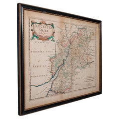
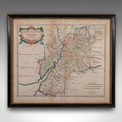
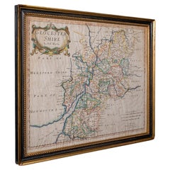
Antique Gloucestershire Map, English, Framed Cartography, Robert Morden, C.1700

Antique Gloucestershire Map, English, Framed Cartography, Robert Morden, C.1700

Located in Hele, Devon, GB

This is an antique county map of Gloucestershire. An English, framed atlas engraving of cartographic interest By Robert Morden, dating to the late 17th century and later.

Category

Antique Early 1700s British Queen Anne Maps

Materials

Glass, Paper

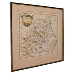
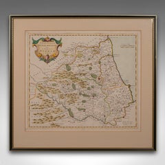
Antique Lithography Map, Durham, English, Framed, Cartography, Early Georgian

Antique Lithography Map, Durham, English, Framed, Cartography, Early Georgian

Located in Hele, Devon, GB

This is an antique lithography map of Durham. An English, framed engraving of cartographic interest, dating to the early 18th century and later, circa 1720.

Category

Antique Early 18th Century British Georgian Maps

Materials

Wood

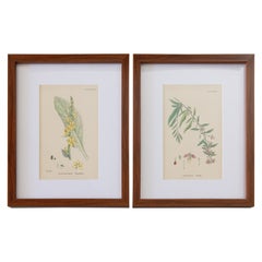
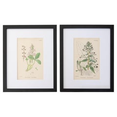
Sowerby English Botany - Custom Framed Botanical Plates, Set of Two

Sowerby English Botany - Custom Framed Botanical Plates, Set of Two

By James Sowerby

Located in Pearland, TX

Custom framed 19th century botanical engravings from "Sowerby's English Botany, or, Coloured Figures of British Plants".

Category

Antique 1860s English Decorative Art

Materials

Glass, Wood, Paper

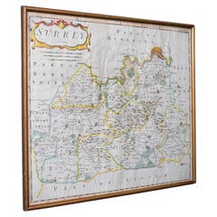
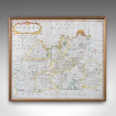
Antique Surrey Map, English, County Cartography, Atlas, Robert Morden, C.1700

Antique Surrey Map, English, County Cartography, Atlas, Robert Morden, C.1700

Located in Hele, Devon, GB

This is an antique map of Surrey. An English, framed atlas engraving by Robert Morden, this centre fold edition dating to the dating to the late 17th century and later.

Category

Antique Early 18th Century British Queen Anne Maps

Materials

Glass, Paper

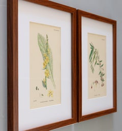
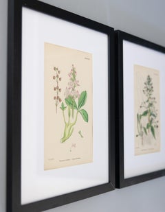
Sowerby's English Botany - Custom Framed Botanical Plates, Set of Two

Sowerby's English Botany - Custom Framed Botanical Plates, Set of Two

By James Sowerby

Located in Pearland, TX

Custom framed 19th century botanical engravings from "Sowerby's English Botany, or, Coloured Figures of British Plants".

Category

Antique 1860s English Late Victorian Decorative Art

Materials

Glass, Wood, Paper

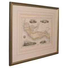
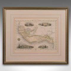
Antique Lithography Map, West Africa, English, Framed, Cartography, Victorian

Antique Lithography Map, West Africa, English, Framed, Cartography, Victorian

Located in Hele, Devon, GB

This is an antique lithography map of Western Africa. An English, framed atlas engraving of cartographic interest by John Rapkin, dating to the early Victorian period and later, circ...

Category

Antique Mid-19th Century British Early Victorian Maps

Materials

Wood

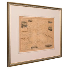
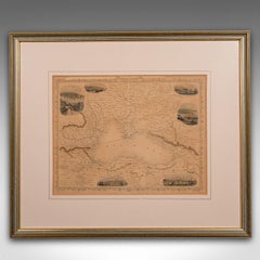
Antique Lithography Map, Black Sea, English, Framed, Cartography, Victorian

Antique Lithography Map, Black Sea, English, Framed, Cartography, Victorian

Located in Hele, Devon, GB

This is an antique lithography map of the Black Sea region. An English, framed atlas engraving of cartographic interest by John Rapkin, dating to the early Victorian period and later...

Category

Antique Mid-19th Century British Early Victorian Maps

Materials

Wood

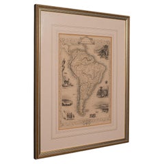
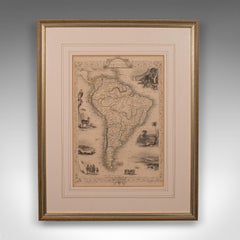
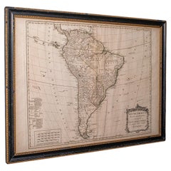
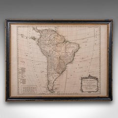
Antique Lithography Map, South America, English, Framed, Cartography, Victorian

Antique Lithography Map, South America, English, Framed, Cartography, Victorian

Located in Hele, Devon, GB

This is an antique lithography map of South America. An English, framed atlas engraving of cartographic interest by John Rapkin , dating to the early Victorian period and later, circ...

Category

Antique Mid-19th Century British Early Victorian Maps

Materials

Wood

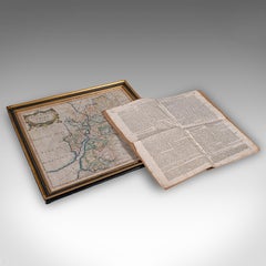
Antique Gloucestershire Map, Atlas, English, Robert Morden, Cartography, C.1700

Antique Gloucestershire Map, Atlas, English, Robert Morden, Cartography, C.1700

Located in Hele, Devon, GB

This is an antique county map of Gloucestershire with atlas folio. An English, framed engraving of cartographic interest By Robert Morden, dating to the late 17th century and later.

Category

Antique Early 18th Century British Queen Anne Maps

Materials

Glass, Paper

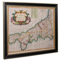
Antique County Map, Cornwall, Kernow, English, Framed, Robert Morden, Georgian

Antique County Map, Cornwall, Kernow, English, Framed, Robert Morden, Georgian

Located in Hele, Devon, GB

This is an antique county map of Cornwall. An English, framed atlas engraving of cartographic interest By Robert Morden, dating to the late 17th century and later.

Category

Antique Early 18th Century British Georgian Maps

Materials

Glass, Paper

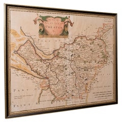
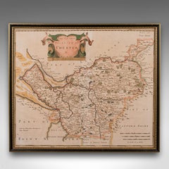
Antique County Map, Cheshire, English, Framed Cartography, Robert Morden, 18th.C

Antique County Map, Cheshire, English, Framed Cartography, Robert Morden, 18th.C

Located in Hele, Devon, GB

This is an antique county map of Cheshire, an English framed cartographic engraving by Robert Morden, dating to the early Georgian period, circa 1720.

Category

Early 20th Century British Georgian Maps

Materials

Glass, Paper

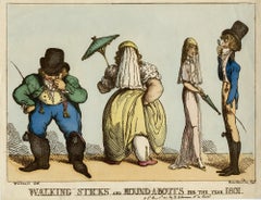
Walking Sticks and Round-A-Bouts. For the Year 1801

Walking Sticks and Round-A-Bouts. For the Year 1801

By Thomas Rowlandson

Located in Middletown, NY

An excellent example of Rowlandson's visual commentary on the challenges of changing fashion for those with a less than ideal physique. Rowlandson, Thomas (after George Murgatroyd W...

Category

Early 19th Century English School Portrait Prints

Materials

Watercolor, Handmade Paper, Engraving, Etching

Antique English Engraved Sheffield Tray with Rolled Edges, Circa 1890.

Antique English Engraved Sheffield Tray with Rolled Edges, Circa 1890.

Located in New Orleans, LA

Antique English Sheffield Tray with Intricate Engraving and Rolled Edges, Circa 1890.

Category

Antique Late 19th Century English Sheffield and Silverplate

Materials

Sheffield Plate

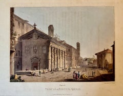
Temple of Fortuna Virilis

Temple of Fortuna Virilis

By Matthew Dubourg

Located in Middletown, NY

London: J. Taylor, 1820. Etching with aquatint and engraving with hand coloring in watercolor on cream wove paper with a gilded edge, 11 1/2 x 14 3/4 inches (290 x 374 mm), full mar...

Category

Early 19th Century English School Landscape Prints

Materials

Handmade Paper, Engraving, Etching, Aquatint

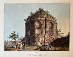
Temple of the Dea Tussis

Temple of the Dea Tussis

By Matthew Dubourg

Located in Middletown, NY

London: J. Taylor, 1820. Etching with aquatint and engraving with hand coloring in watercolor on cream wove paper with a gilded edge, 11 1/2 x 14 3/4 inches (290 x 374 mm), full mar...

Category

Early 19th Century English School Landscape Prints

Materials

Handmade Paper, Engraving, Etching, Aquatint

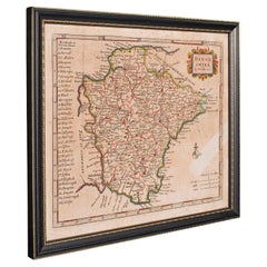
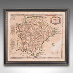
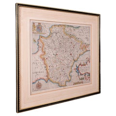
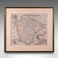
Antique Devonshire Map, English Framed Robert Morden Devon Cartography, Georgian

Antique Devonshire Map, English Framed Robert Morden Devon Cartography, Georgian

Located in Hele, Devon, GB

This is a small antique map of Devonshire, an English framed cartographic engraving by Robert Morden, dating to the early Georgian period, circa 1720.

Category

Antique 1720s British Georgian Maps

Materials

Glass, Paper

'The Protestants Champion!!' (... Duke of Sussex, Son of King George III)

'The Protestants Champion!!' (... Duke of Sussex, Son of King George III)

By George Cruikshank

Located in Middletown, NY

This portrait of King George the III's son was published in the same year that Beethoven's Ninth Symphony premiered in London. 'The Protestants Champion!!' (Prince Augustus Freder...

Category

Early 19th Century English School Portrait Prints

Materials

Watercolor, Handmade Paper, Engraving, Etching

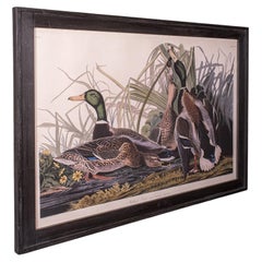
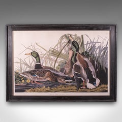
Vintage Mallard Duck Picture, English, Framed Print, JJ Audubon, Wildlife Art

Vintage Mallard Duck Picture, English, Framed Print, JJ Audubon, Wildlife Art

Located in Hele, Devon, GB

This is a large vintage Mallard picture. An English, framed print engraving of wildlife interest originally by J.J.

Category

Vintage 1960s British Regency Prints

Materials

Glass, Pine, Paper

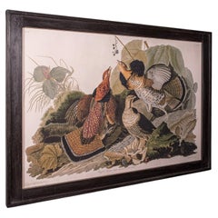
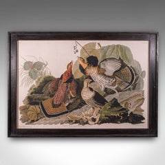
Vintage Ruffed Grouse Picture, English, Framed Print, JJ Audubon, Wildlife Art

Vintage Ruffed Grouse Picture, English, Framed Print, JJ Audubon, Wildlife Art

Located in Hele, Devon, GB

This is a large vintage Ruffed Grouse picture. An English, framed print engraving of wildlife interest originally by J.J.

Category

Vintage 1960s British Regency Prints

Materials

Glass, Pine, Paper

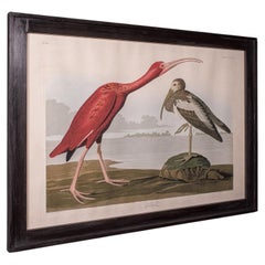
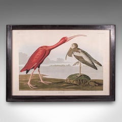
Vintage Scarlet Ibis Picture, English, Framed Print, JJ Audubon, Wildlife Art

Vintage Scarlet Ibis Picture, English, Framed Print, JJ Audubon, Wildlife Art

Located in Hele, Devon, GB

This is a large vintage Scarlet Ibis picture. An English, framed print engraving of wildlife interest originally by J.J.

Category

Vintage 1960s British Regency Prints

Materials

Glass, Pine, Paper

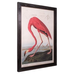
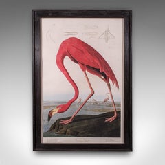
Large Vintage Flamingo Picture, English, Framed Print, JJ Audubon, Wildlife Art

Large Vintage Flamingo Picture, English, Framed Print, JJ Audubon, Wildlife Art

Located in Hele, Devon, GB

This is a large vintage flamingo picture. An English, framed print engraving of wildlife interest originally by J.J.

Category

Vintage 1960s British Regency Prints

Materials

Glass, Pine, Paper

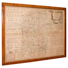
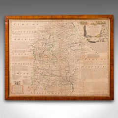
Large Antique Wiltshire Map, County Cartography, Framed, English, 18th Century

Large Antique Wiltshire Map, County Cartography, Framed, English, 18th Century

Located in Hele, Devon, GB

This is an antique county map of Wiltshire. An English, framed atlas engraving of cartographic interest By Emmanuel Bowen, dating to the mid 18th century and later.

Category

Antique 1750s British Georgian Decorative Art

Materials

Glass, Paper

Small Antique County Map, Northamptonshire, English, Framed, Cartography, C.1850

Small Antique County Map, Northamptonshire, English, Framed, Cartography, C.1850

Located in Hele, Devon, GB

This is a small antique county map of Northamptonshire. An English, framed atlas engraving of cartographic interest, dating to the mid 19th century and later.

Category

Antique Mid-19th Century British Victorian Maps

Materials

Paper

Antique English Moths and Caterpillars on Grass & Flowering Plants – Albin 1720

Antique English Moths and Caterpillars on Grass & Flowering Plants – Albin 1720

Located in Langweer, NL

Title: Antique English Moths and Caterpillars on Grass and Flowering Plants – Albin 1720 Description: This set of two original hand-colored copper engravings was issued in London in...

Category

Antique Early 18th Century British Prints

Materials

Paper

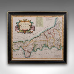
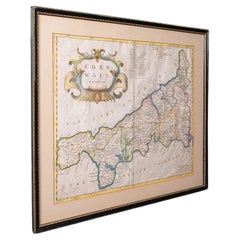
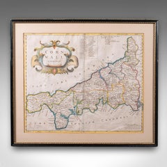
Antique Framed Cornwall Map, English, Atlas Cartography, Robert Morden, C.1700

Antique Framed Cornwall Map, English, Atlas Cartography, Robert Morden, C.1700

Located in Hele, Devon, GB

This is an antique framed map of Cornwall. An English, atlas engraving of cartographic interest By Robert Morden, dating to the late 17th century and later.

Category

Antique Early 18th Century British Queen Anne Maps

Materials

Glass, Paper

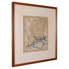
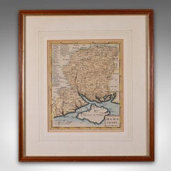
Antique County Map, Hampshire, English, Framed Cartography, Robert Morden, 1700

Antique County Map, Hampshire, English, Framed Cartography, Robert Morden, 1700

Located in Hele, Devon, GB

This is an antique county map of Hampshire. An English, framed atlas engraving of cartographic interest By Robert Morden, dating to the late 17th century and later.

Category

Antique Late 17th Century British Other Maps

Materials

Glass, Wood, Paper

Antique Environs of Bath & Bristol Map, English, Framed Cartography, Victorian

Antique Environs of Bath & Bristol Map, English, Framed Cartography, Victorian

Located in Hele, Devon, GB

This is an antique region map of Bath and Bristol. An English, framed atlas engraving of cartographic interest, dating to the mid 19th century and later.

Category

Antique Mid-19th Century British Victorian Maps

Materials

Glass, Wood, Paper

Antique Lithography Map, Isle of Thanet, Kent, English, Cartography, Victorian

Antique Lithography Map, Isle of Thanet, Kent, English, Cartography, Victorian

Located in Hele, Devon, GB

This is an antique lithography map of The Isle of Thanet in Kent. An English, framed atlas engraving of cartographic interest, dating to the mid 19th century and later.

Category

Antique Mid-19th Century British Victorian Maps

Materials

Wood
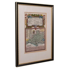
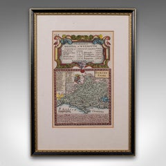
Antique Road Map, Bristol to Weymouth, English, Framed Cartography, Georgian

Antique Road Map, Bristol to Weymouth, English, Framed Cartography, Georgian

Located in Hele, Devon, GB

This is an antique coaching road map of Bristol to Weymouth. An English, framed lithograph engraving of regional interest with second map to reverse, dating to the mid 18th century ...

Category

Antique Mid-18th Century British George II Maps

Materials

Glass, Wood, Paper

Antique Coaching Road Map, South Devon, English, Framed, Cartography, Georgian

Antique Coaching Road Map, South Devon, English, Framed, Cartography, Georgian

Located in Hele, Devon, GB

This is an antique coach road map of South Devon. An English, framed lithograph engraving of regional interest, dating to the early 18th century and later.

Category

Antique Early 18th Century British Georgian Maps

Materials

Wood
Set of Three English Historical Prints After Samuel Wale, Walnut Frames, circa 1

Set of Three English Historical Prints After Samuel Wale, Walnut Frames, circa 1

Located in Opole, PL

Set of Three English Historical Prints After Samuel Wale, Walnut Frames, circa 1930 An elegant and highly decorative set of three English historical prints, dating to circa 1930, ba...

Category

Vintage 1930s English Neoclassical Revival Prints

Materials

Glass, Walnut, Paper

Antique Map of Surrey, English, Framed County Cartography, After Blaeu, C.1690

Antique Map of Surrey, English, Framed County Cartography, After Blaeu, C.1690

Located in Hele, Devon, GB

This is an antique map of Surrey. An English, framed cartography engraving by Willem Janszoon Blaeu, this centre fold edition dating to the William & Mary period, circa 1690.

Category

Antique 1690s British William and Mary Maps

Materials

Glass, Paper

View of Fountain Court, Middle Temple, City of London

View of Fountain Court, Middle Temple, City of London

Located in Middletown, NY

An 18th century view of the first permanent water fountain in London. London: J.Boydell, 1753. Engraving with hand coloring in watercolor on white laid paper, laid down to a modern...

Category

Mid-18th Century English School Figurative Prints

Materials

Watercolor, Handmade Paper, Laid Paper, Engraving

Antique Devon County Map, English, Framed 17th Century Atlas Cartography, C.1650

Antique Devon County Map, English, Framed 17th Century Atlas Cartography, C.1650

Located in Hele, Devon, GB

This is an antique Devon county map. An English, framed atlas engraving of Devonshire, dating to the 17th century and later, circa 1650.

Category

Antique 17th Century British Charles II Maps

Materials

Glass, Paper

Antique South America Map, English, Framed Cartography, De La Rochette, Georgian

Antique South America Map, English, Framed Cartography, De La Rochette, Georgian

Located in Hele, Devon, GB

This is a superb antique map of South America. An English, framed cartographic engraving by Louis Stanislas De La Rochette, dating to the Georgian period and later, circa 1790.

Category

Antique 1790s British Georgian Maps

Materials

Glass, Paper

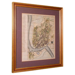
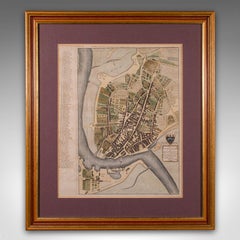
Antique Town Plan Map, Poole, English, Framed Cartography, Georgian, Circa 1780

Antique Town Plan Map, Poole, English, Framed Cartography, Georgian, Circa 1780

Located in Hele, Devon, GB

This is an antique town plan map of Poole in Dorset. An English, framed atlas engraving, dating to the 18th century and later.

Category

Antique Late 18th Century British George III Maps

Materials

Glass, Wood, Paper

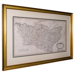
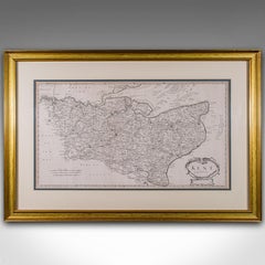
Large Antique Lithography Map of Kent, English, Cartography, Robert Morden, 1700

Large Antique Lithography Map of Kent, English, Cartography, Robert Morden, 1700

Located in Hele, Devon, GB

This is a large antique lithography map of Kent. An English, framed atlas engraving of cartographic interest by Robert Morden, dating to the early 18th century and later.

Category

Antique Early 18th Century British Queen Anne Maps

Materials

Glass, Wood, Paper

Antique Coach Road Map, East Devon, English, Framed, Cartography, Georgian, 1720

Antique Coach Road Map, East Devon, English, Framed, Cartography, Georgian, 1720

Located in Hele, Devon, GB

This is an antique coach road map of East Devon. An English, framed lithograph engraving of regional interest, dating to the early 18th century and later.

Category

Antique Early 18th Century British Georgian Maps

Materials

Wood
Pl. 1 Antique Print of an English Pavilion by Schübler, c.1724

Pl. 1 Antique Print of an English Pavilion by Schübler, c.1724

Located in Langweer, NL

Antique print titled 'Ein neue Faconirtes Englisches Lust Haus (..)'. Copper engraving showing an English garden pavilion. This print originates from a series of garden elements by J.

Category

Antique 18th Century Prints

Materials

Paper

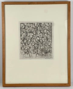
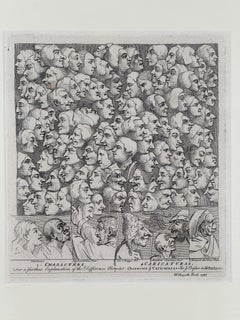
Character vs. Charicature

Character vs. Charicature

By William Hogarth

Located in Wilton Manors, FL

Characters and Caricaturas is an engraving by English artist William Hogarth that he produced as the subscription ticket for his 1743 series of prints, Marriage à-la-mode, and which ...

Category

Mid-18th Century Realist Figurative Prints

Materials

Engraving

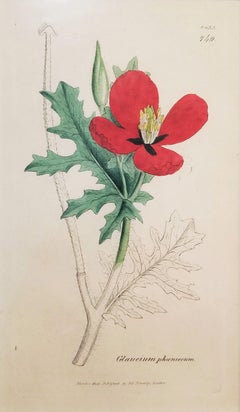
Glaucium Phoenicium (Red Horned-Poppy) /// James Sowerby Botanical Flower Plant

Glaucium Phoenicium (Red Horned-Poppy) /// James Sowerby Botanical Flower Plant

By James Sowerby

Located in Saint Augustine, FL

Artist: James Sowerby (English, 1757-1822) Title: "Glaucium Phoenicium (Red Horned-Poppy)" (Vol. 7, Plate 1433) Portfolio: English Botany; or, Coloured Figures of British Plants Year...

Category

Early 1800s Victorian Still-life Prints

Materials

Watercolor, Engraving, Intaglio

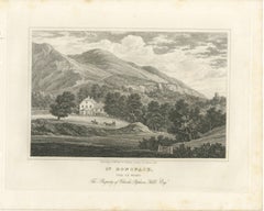
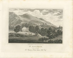
Seat of Charles Popham Hill at Saint Boniface, Isle of Wight, 1822

Seat of Charles Popham Hill at Saint Boniface, Isle of Wight, 1822

Located in Langweer, NL

It suits a study or a library, hung with other English country house engravings. Light uneven toning, browner towards the edges.

Category

Antique Early 19th Century British Prints

Materials

Paper

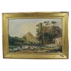
Antique Watercolor On Paper Landscape Painting With Figures 19thC

Antique Watercolor On Paper Landscape Painting With Figures 19thC

Located in Big Flats, NY

Philadelphia," noted as an "Importer of French & English Plate Glass & Engravings." Another partially legible label on the reverse reads "Wildes Downingtown 1871," suggesting...

Category

Antique 19th Century Paintings

Materials

Paper

Georgian Style Bowed Fender

Georgian Style Bowed Fender

Located in London, GB

Oval paterae, foliage and stud work throughout with beading above and below. Aged engraving throughout. English, 19th century. Measures: External width: 1295 mm 51" Internal widt...

Category

Antique 19th Century English Georgian Fireplace Tools and Chimney Pots

Materials

Steel

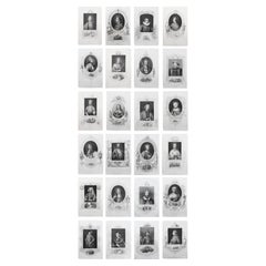
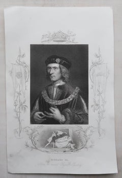
Set of 24 Original Antique Prints of Kings of England, C.1840

Set of 24 Original Antique Prints of Kings of England, C.1840

Located in St Annes, Lancashire

Glorious set of 24 prints of English Kings Steel engravings with amazing decorative vignettes Published by Virtue C.1840 Unframed.

Category

Antique 1840s English Prints

Materials

Paper

A Crime Against Cania by Arthur Calder-Marshall – Golden Cockerel Press

A Crime Against Cania by Arthur Calder-Marshall – Golden Cockerel Press

Located in Middletown, NY

Hughes-Stanton (1902 – 1981) was a major figure in the English wood-engraving revival in the twentieth century and was a founding member of the English Wood Engraving Society in 1925.
Category

Early 20th Century English Books

Materials

Gold Leaf

Antique Hospital Picture, Lincoln's Inn Fields, London, Art, Medical, Victorian

Antique Hospital Picture, Lincoln's Inn Fields, London, Art, Medical, Victorian

Located in Hele, Devon, GB

This is an antique hospital engraving. An English, framed lithograph of medical interest, dating to the Victorian period and later, circa 1900.
Category

Early 20th Century British Late Victorian Prints

Materials

Glass, Paper

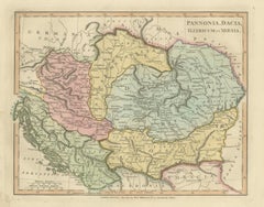
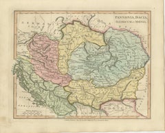
Ancient Pannonia & Dacia Map — Roman Balkans Provinces, Wilkinson 1823

Ancient Pannonia & Dacia Map — Roman Balkans Provinces, Wilkinson 1823

Located in Langweer, NL
A sophisticated and historically rich decorative map appealing to collectors of classical cartography, Roman antiquity, and early nineteenth-century English atlas engraving. Conditi...

Category

Antique Early 19th Century British Maps

Materials

Paper

  • 1
Get Updated with New Arrivals
Save "English Engravings", and we’ll notify you when there are new listings in this category.

English Engravings For Sale on 1stDibs

An assortment of english engravings is available on 1stDibs. There are many Modern and Old Masters versions of these works for sale. These items have long been popular, with older editions for sale from the 18th Century and newer versions made as recently as the 20th Century. Adding a colorful piece of art to a room that is mostly decorated in warm neutral tones can yield a welcome change — see the english engravings on 1stDibs that include elements of beige, gray, white, black and more. Isaac Slater, Henry C Andrews, Henry Clarence Whaite, Moses Harris and Paul Sandby took a thoughtful approach to this subject that are worth considering. The range of these distinct pieces — often created in engraving, etching and aquatint — can elevate any room of your home.

How Much are English Engravings?

Prices for pieces in our collection of english engravings start at $45 and top out at $6,500 with the average selling for $231.