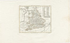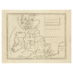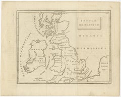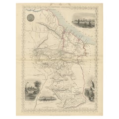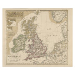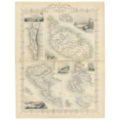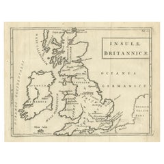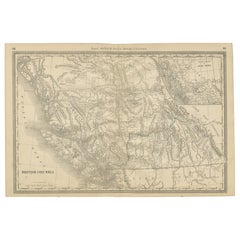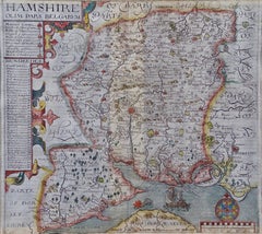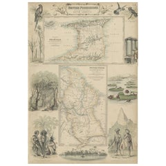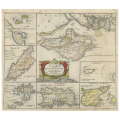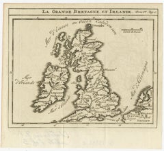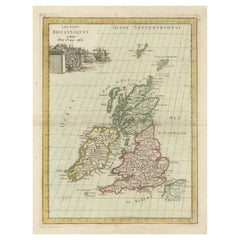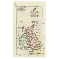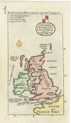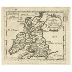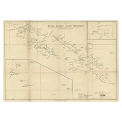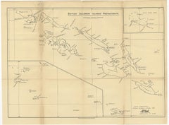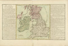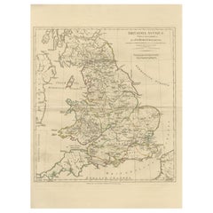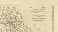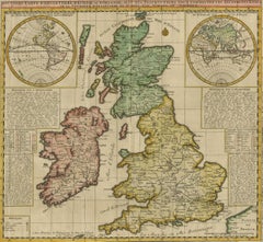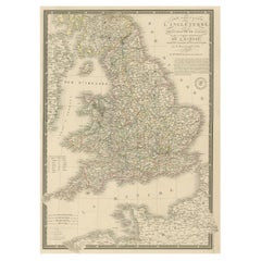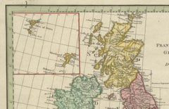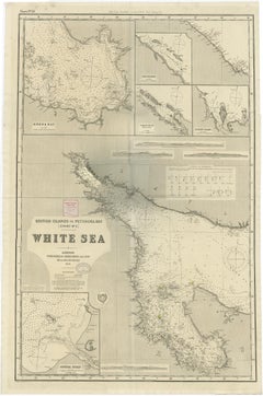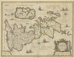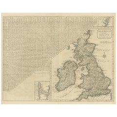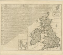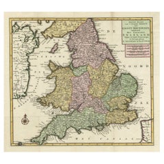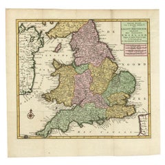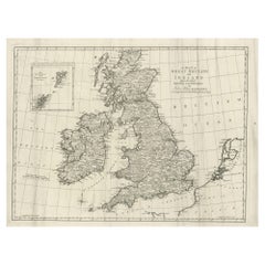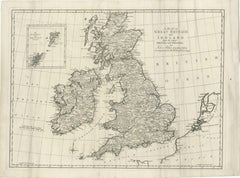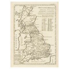
Antique Map of Britain in Roman Times
$458Sale Price|20% Off
Antique Map of Britain in Roman Times
Located in Langweer, NL
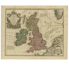
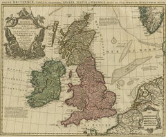
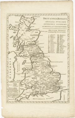
Antique map titled 'Britannia Romana collected from Ptolemy (..)'. Map of Britain in Roman times
Category
Antique Early 19th Century Maps
Materials
Paper